Ashton

Settlement in Cornwall

England

Ashton

Overgrown land near Lesceave Farm
Overgrown land near Lesceave Farm Credit: David Medcalf

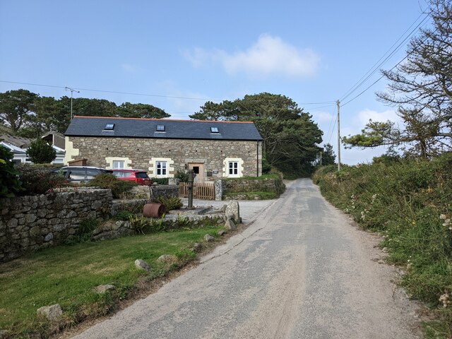
Ashton is a picturesque village located in Cornwall, England. Situated on the southern coast of the county, Ashton is nestled between the towns of Penzance and Helston, offering residents and visitors a charming and peaceful retreat away from the hustle and bustle of city life.

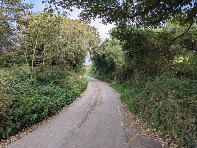
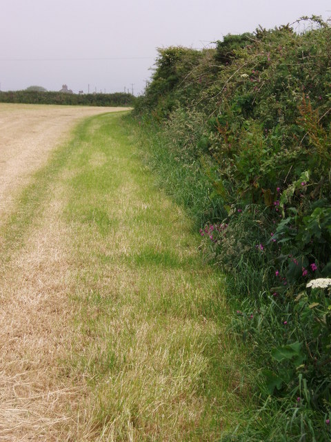
The village is renowned for its stunning natural beauty, with rolling hills, lush green fields, and breathtaking views of the surrounding countryside. It is also within close proximity to some of Cornwall's most renowned beaches, including Praa Sands and Porthleven, making it an ideal destination for those seeking a coastal getaway.

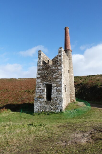
Ashton is steeped in history, with many historical landmarks and sites of interest to explore. One such landmark is Ashton Windmill, a well-preserved Grade II listed building that stands proudly on the outskirts of the village. Dating back to the 18th century, it offers visitors a glimpse into the area's agricultural heritage.

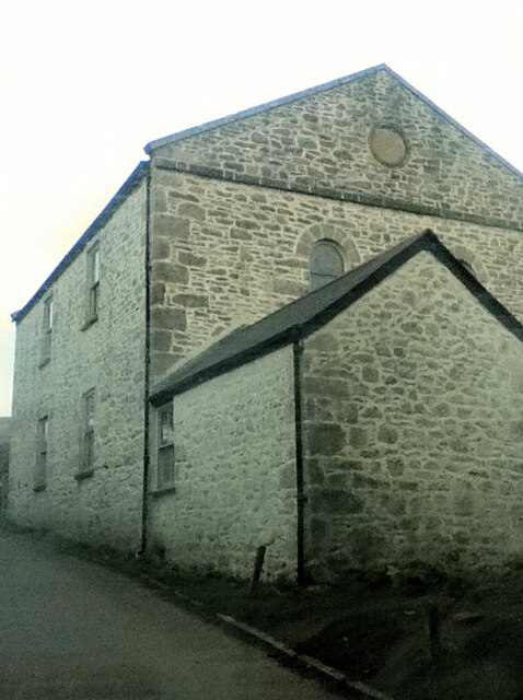
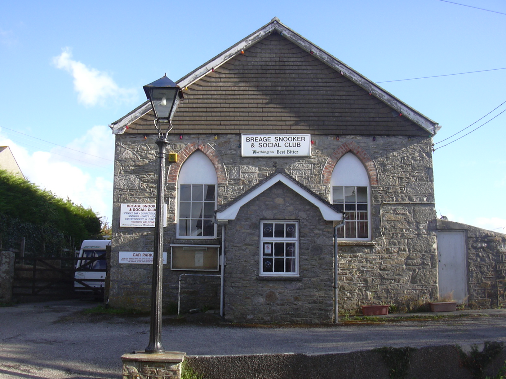
The village also boasts a close-knit community, with a range of amenities to cater to the needs of its residents. These include a local pub, village hall, and a primary school, providing a strong sense of community spirit.

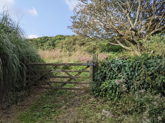
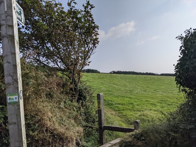
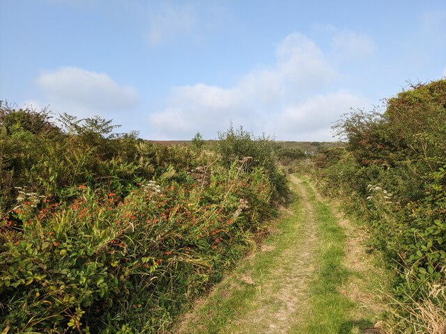
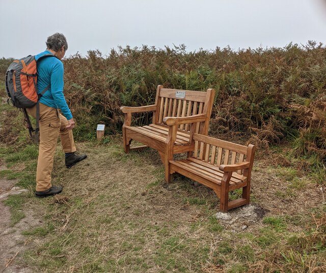
For outdoor enthusiasts, Ashton offers plenty of opportunities to explore the great outdoors. The village is surrounded by numerous footpaths and trails, allowing walkers and hikers to take in the stunning scenery and enjoy the tranquility of the countryside.

Overall, Ashton, Cornwall is a hidden gem that offers a perfect blend of natural beauty, history, and a strong community spirit, making it an idyllic place to live or visit.

If you have any feedback on the listing, please let us know in the comments section below.
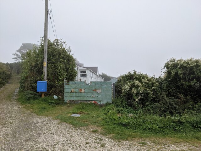
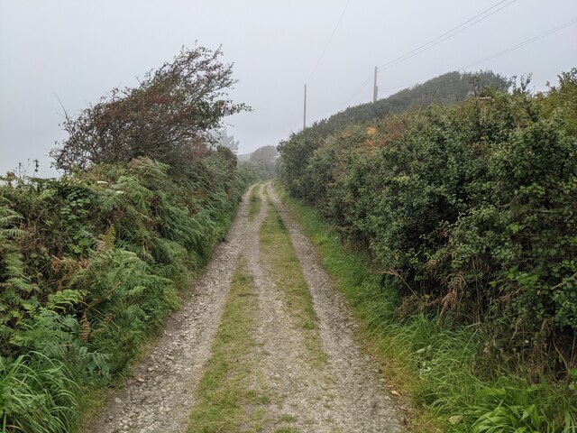
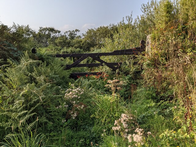
Ashton Images

Images are sourced within 2km of 50.109293/-5.350418 or Grid Reference SW6028. Thanks to Geograph Open Source API. All images are credited.

Overgrown land near Lesceave Farm
The lane to Hendra
The lane to Hendra
Footpath off the lane to Hendra
Buildings at Hendra Farm
A patchwork gate beside the lane to Tregonning Hill
The lane from Balwest This well-surfaced lane is classified as a footpath. It seems obvious that this was the lane serving the quarries on Tregonning Hill and should, at the least, be a bridleway. Cornwall Council have now (2021) raised a Definitive Map Modification Order (DMMO) to change its status.
The lane from Balwest
This well-surfaced lane is classified as a footpath. It seems obvious that this was the lane serving the quarries on Tregonning Hill and should, at the least, be a bridleway. Cornwall Council have now (2021) raised a Definitive Map Modification Order (DMMO) to change its status.
The lane to the clay pit Unused and very much overgrown.
The lane to the clay pit
Unused and very much overgrown.
Bridleway near the clay pit pool The pool is only a few yards to the left, but completely hidden by vegetation.
Bridleway near the clay pit pool
The pool is only a few yards to the left, but completely hidden by vegetation.
A rather touching memorial bench on Tregonning Hill
Remains of the engine house of the Wheal Prosper Tin Mine, Rinsey Head, Cornwall
The South-west Coastal Path approaching the Wheal Prosper tin mine, Rinsey, Cornwall
A colourful wall on Hendra Lane
Rinsey Lane Rinsey:
Rinsey Lane Rinsey:
Waiting for the crop to grow Bare soil at Rinsey.
Waiting for the crop to grow
Bare soil at Rinsey.
Rinsey Lane at Rinsey
It's definitely Private Property Next to Rinsey Lane
It's definitely Private Property
Next to Rinsey Lane
Balwest Wesleyan Methodist Chapel from 1829
Layby on the A394 between Ashton and Germoe The A394 is a primary route running along the south coast of Cornwall linking Penzance to Falmouth via Helston and beyond. It is noteworthy for being the most southerly primary 'A' road in the UK.
Layby on the A394 between Ashton and Germoe
The A394 is a primary route running along the south coast of Cornwall linking Penzance to Falmouth via Helston and beyond. It is noteworthy for being the most southerly primary 'A' road in the UK.
Show me another place!

Ashton is located at Grid Ref: SW6028 (Lat: 50.109293, Lng: -5.350418)

Unitary Authority: Cornwall

Police Authority: Devon and Cornwall

What 3 Words

///celebrate.flickers.buildings. Near Germoe, Cornwall

Related Wikis

Ashton, Cornwall

Ashton (Cornish: Trevonnen) is a village in the civil parish of Breage, west Cornwall, England, UK at OS grid ref SW604286. It is on the A394 Penzance...

Penhale Jakes

Penhale Jakes is a hamlet west of Breage in west Cornwall, England, UK. == References ==

Rinsey Croft

Rinsey Croft is a hamlet in southwest Cornwall, England. It is located within the civil parish of Breage, 1 mile (1.6 km) west of the village of the same...

Tregonning Hill

Tregonning Hill is the westerly of two granite hills overlooking Mount's Bay in west Cornwall, England, United Kingdom, the other being Godolphin Hill...

Breaney Methodist chapel

Breaney Methodist chapel is a Methodist chapel in the village of Breage, near Helston, Cornwall, UK. The chapel is on Trewithick road in Breage, past...

Trewithick, Breage

Trewithick is a hamlet in the parish of Breage in Cornwall, England. The hamlet is at the end of Trewithick Road from the A394 (formally known as School...

St Breage's Church, Breage

Breage Parish Church is the Anglican parish church of the parish of Breage, Cornwall, England, United Kingdom. It is dedicated to Saint Breage or Breaca...

Breage, Cornwall

Breage ( BREEG, locally BRAYG; Cornish: Eglosbrek (village) or Pluw Vrek (parish)) is a civil parish and village in Cornwall, England, United Kingdom...

Nearby Amenities

Located within 500m of 50.109293,-5.350418
Ashton
Is In: Cornwall, England, UK
Name En: Ashton
Name Kw: Trevonnen
Place: village
Source: npe
Wikidata: Q19460299
Lat/Long: 50.1092187/-5.3539663
Pub
Lion and Lamb
Addr City: Helston
Addr Country: GB
Addr Housename: The Lion And Lamb
Addr Place: Ashton
Addr Postcode: TR13 9RW
Addr Street: Fore Street
Fhrs Id: 1105938
Source Addr: FHRS Open Data
Lat/Long: 50.1084715/-5.3525841
Bus Stop
Lion & Lamb
Bus: yes
Naptan AtcoCode: 0800COD40612
Naptan Bearing: SE
Naptan CommonName: Lion & Lamb
Naptan Crossing: Higher Lane
Naptan NaptanCode: corajapa
Naptan Street: Fore Street
Naptan Verified: no
Public Transport: platform
Source: naptan_import
Lat/Long: 50.1082833/-5.3525151
Bus Stop
Lion & Lamb
Bus: yes
Naptan AtcoCode: 0800COD40613
Naptan Bearing: NW
Naptan CommonName: Lion & Lamb
Naptan Crossing: Rinsey Lane
Naptan Indicator: Opp
Naptan NaptanCode: corajamw
Naptan Street: Fore Street
Naptan Verified: no
Public Transport: platform
Shelter: yes
Source: naptan_import
Lat/Long: 50.1081157/-5.3525336
Bus Stop
Penhale Jakes Farm
Bus: yes
Naptan AtcoCode: 0800COD40614
Naptan Bearing: E
Naptan CommonName: Penhale Jakes Farm
Naptan NaptanCode: corajawd
Naptan Street: A394
Naptan Verified: no
Public Transport: platform
Source: naptan_import
Lat/Long: 50.1074278/-5.345377
Bus Stop
Penhale Jakes Farm
Bus: yes
Naptan AtcoCode: 0800COD40615
Naptan Bearing: W
Naptan CommonName: Penhale Jakes Farm
Naptan Indicator: Opp
Naptan NaptanCode: corajatw
Naptan Street: A394
Naptan Verified: no
Public Transport: platform
Source: naptan_import
Lat/Long: 50.1072758/-5.3459679
Public Bookcase
Book Exchange
Booth: K6
Disused Amenity: telephone
Man Made: telephone_box
Public Bookcase Type: phone_box
Source: survey
Lat/Long: 50.1080904/-5.3524733
Post Box
Brand: Royal Mail
Brand Wikidata: Q638098
Collection Times: Mo-Fr 09:00; Sa 07:00; Su off
Drive Through: no
Operator: Royal Mail
Operator Wikidata: Q638098
Post Box Design: type_b
Post Box Type: pillar
Ref: TR13 54D
Royal Cypher: EIIR
Royal Cypher Wikidata: Q33102113
Source: survey;streetlevel imagery;aerial imagery
Lat/Long: 50.1085806/-5.353511
stone circle
Historic: archaeological_site
Note: exact location uncertain
Source: NPE
Lat/Long: 50.1080586/-5.349702
Crossing
Lat/Long: 50.1055254/-5.3477683
Generator Method: photovoltaic
Generator Output Electricity: small_installation
Generator Source: solar
Generator Type: solar_photovoltaic_panel
Location: roof
Power: generator
Source: bing
Lat/Long: 50.1091003/-5.3568066
Generator Method: photovoltaic
Generator Output Electricity: small_installation
Generator Source: solar
Generator Type: solar_photovoltaic_panel
Location: roof
Power: generator
Source: bing
Lat/Long: 50.1091167/-5.3566919
Generator Method: photovoltaic
Generator Output Electricity: small_installation
Generator Source: solar
Generator Type: solar_photovoltaic_panel
Location: roof
Power: generator
Source: bing
Lat/Long: 50.1099041/-5.3547098
Generator Method: photovoltaic
Generator Output Electricity: small_installation
Generator Source: solar
Generator Type: solar_photovoltaic_panel
Location: roof
Power: generator
Source: bing
Lat/Long: 50.1102059/-5.3552207
Generator Method: photovoltaic
Generator Output Electricity: small_installation
Generator Source: solar
Generator Type: solar_photovoltaic_panel
Location: roof
Power: generator
Source: bing
Lat/Long: 50.1116904/-5.3481008
Generator Method: photovoltaic
Generator Output Electricity: small_installation
Generator Source: solar
Generator Type: solar_photovoltaic_panel
Location: roof
Power: generator
Source: bing
Lat/Long: 50.1112466/-5.3524098
Generator Method: photovoltaic
Generator Output Electricity: small_installation
Generator Source: solar
Generator Type: solar_photovoltaic_panel
Location: roof
Power: generator
Source: bing
Lat/Long: 50.1112501/-5.3524554
Generator Method: photovoltaic
Generator Output Electricity: small_installation
Generator Source: solar
Generator Type: solar_photovoltaic_panel
Location: roof
Power: generator
Source: bing
Lat/Long: 50.1087765/-5.3536718
Generator Method: photovoltaic
Generator Output Electricity: small_installation
Generator Source: solar
Generator Type: solar_photovoltaic_panel
Location: roof
Power: generator
Source: bing
Lat/Long: 50.1092065/-5.3528121
Generator Method: photovoltaic
Generator Output Electricity: small_installation
Generator Source: solar
Generator Type: solar_photovoltaic_panel
Location: roof
Power: generator
Source: bing
Lat/Long: 50.1091764/-5.3528792
Generator Method: photovoltaic
Generator Output Electricity: small_installation
Generator Source: solar
Generator Type: solar_photovoltaic_panel
Location: roof
Power: generator
Source: bing
Lat/Long: 50.1083009/-5.3453368
Power: pole
Lat/Long: 50.1126038/-5.3458907
Power: pole
Lat/Long: 50.1129607/-5.3469099
Power: pole
Lat/Long: 50.1133838/-5.3481571
Post Box
Brand: Royal Mail
Brand Wikidata: Q638098
Collection Times: Mo-Fr 09:00; Sa 07:00; Su off
Drive Through: no
Operator: Royal Mail
Operator Wikidata: Q638098
Post Box Design: 2010_pattern
Post Box Mounting: pier
Post Box Type: lamp
Ref: TR13 86D
Royal Cypher: EIIR
Royal Cypher Wikidata: Q33102113
Source: survey;streetlevel imagery;aerial imagery
Lat/Long: 50.107298/-5.3460209
The data included in this document is from www.openstreetmap.org. The data is made available under ODbL.

Have you been to Ashton?

Leave your review of Ashton below (or comments, questions and feedback).