Ashton
Settlement in Hampshire Winchester
England
Ashton

Ashton is a small village located in the county of Hampshire in southern England. Situated in the South Downs National Park, it is surrounded by picturesque countryside and offers a tranquil setting for residents and visitors alike.
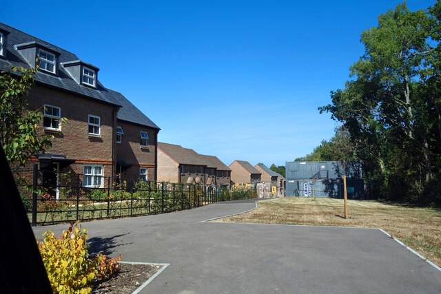
The village is home to a close-knit community that prides itself on its traditional English charm. With its quaint thatched cottages and well-maintained gardens, Ashton exudes a sense of timeless beauty. The village also boasts a beautiful parish church, St. Mary's, which dates back to the 12th century and is a focal point for local religious and social gatherings.
Despite its small size, Ashton offers a range of amenities to cater to the needs of its residents. There is a local pub, The Royal Oak, that serves traditional pub fare and provides a gathering place for villagers. Additionally, there is a village hall that hosts various community events and activities throughout the year.
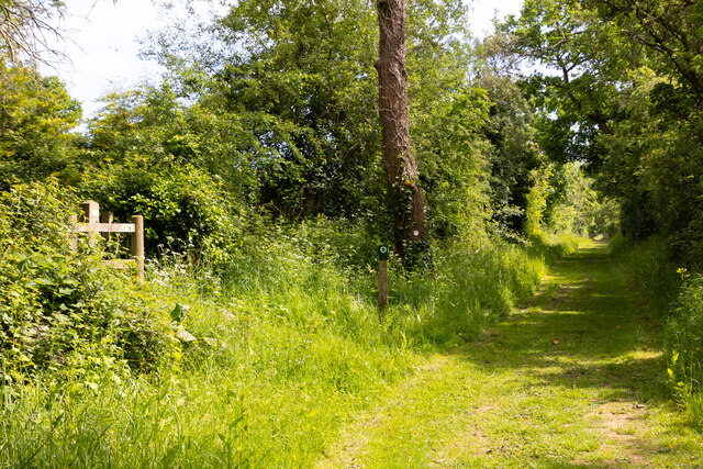
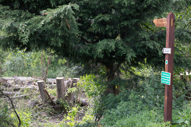
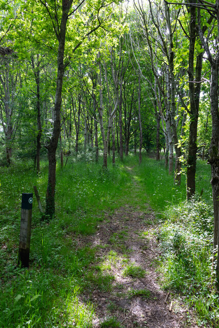
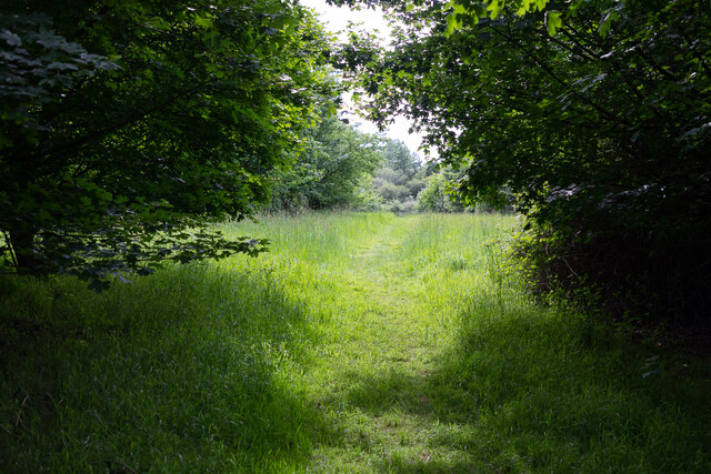
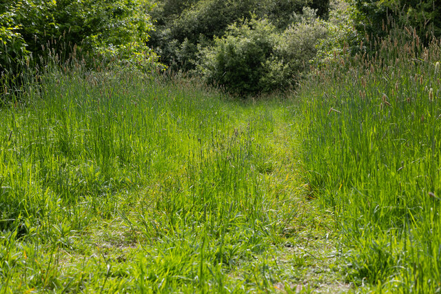
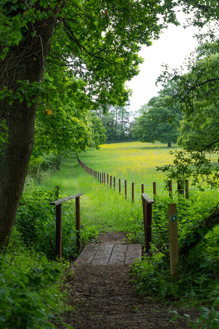
For those who enjoy outdoor pursuits, Ashton is ideally situated for exploring the surrounding countryside. The village is located near several walking and cycling trails, providing opportunities to discover the natural beauty of the South Downs. The nearby River Meon also offers fishing and boating opportunities for those who enjoy water-based activities.
Overall, Ashton is a charming village that offers a peaceful and idyllic lifestyle. Its stunning natural surroundings, strong sense of community, and range of amenities make it a desirable place to live or visit for those seeking a quintessentially English village experience.
If you have any feedback on the listing, please let us know in the comments section below.
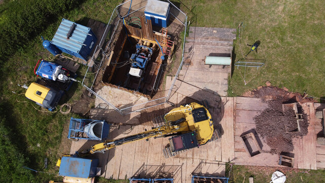
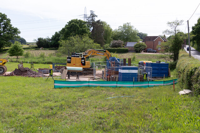
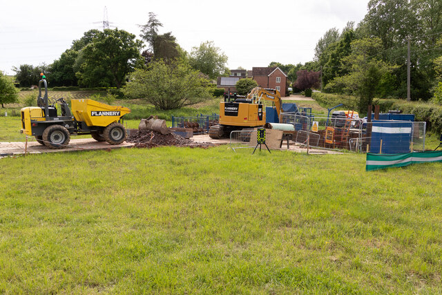
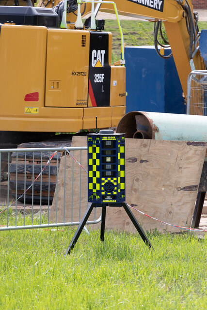
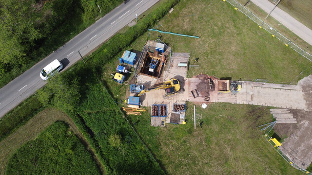
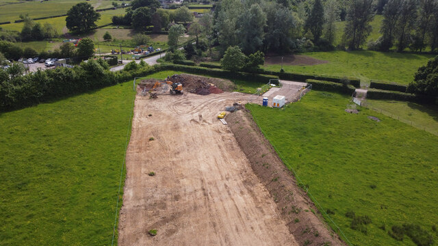
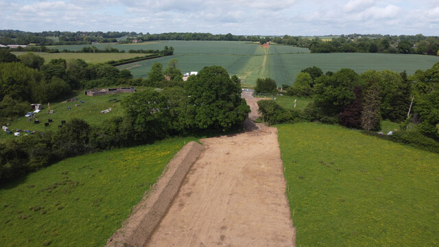
Ashton Images
Images are sourced within 2km of 50.967323/-1.223114 or Grid Reference SU5418. Thanks to Geograph Open Source API. All images are credited.

Ashton is located at Grid Ref: SU5418 (Lat: 50.967323, Lng: -1.223114)
Administrative County: Hampshire
District: Winchester
Police Authority: Hampshire
What 3 Words
///hobbit.cubic.sprinkle. Near Bishops Waltham, Hampshire
Nearby Locations
Related Wikis
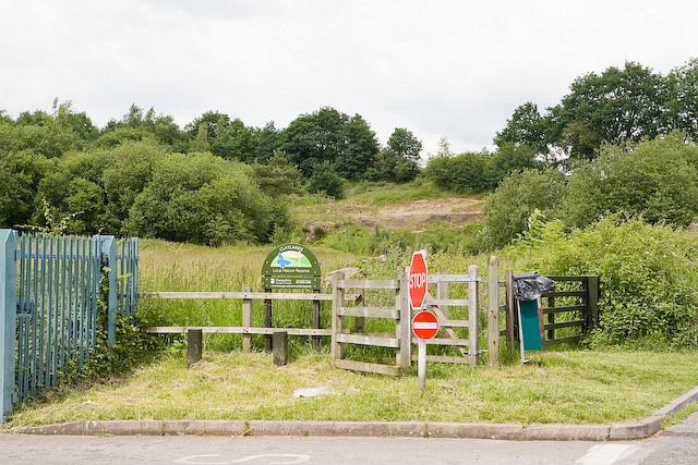
Claylands
Claylands is a 5.8-hectare (14-acre) Local Nature Reserve in Bishop's Waltham in Hampshire. It is owned by Hampshire County Council and managed by Hampshire...
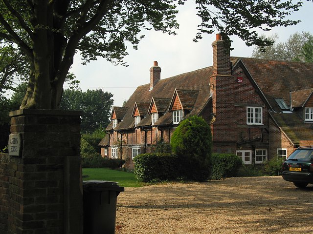
Ashton, Hampshire
Ashton is a village in Hampshire, England. It consists of mainly substantial properties and is situated just inside the boundary for the South Downs National...
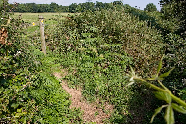
King's Way
King's Way or the Allan King Way is a 45-mile-long-distance (72 km) footpath in Hampshire, England. This footpath was created by the Hampshire Area of...
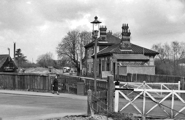
Bishops Waltham railway station
Bishops Waltham railway station was a railway station in Bishop's Waltham, Hampshire, England. The station was the terminus of the 3.75 mile branch line...

Bishop's Waltham Palace
Bishop's Waltham Palace is a moated Bishop's Palace ruin in Bishop's Waltham, Hampshire, England. It is a scheduled ancient monument and a Grade II* listed...

Bishop's Waltham Town F.C.
Bishop's Waltham Town were a football club based in Bishop's Waltham, Hampshire, and ran for over a hundred years. == History == Bishop's Waltham Town...

Bishop's Waltham
Bishop's Waltham (or Bishops Waltham) is a medieval market town situated at the source of the River Hamble in Hampshire, England. It has a foot in the...

Dundridge Meadows
Dundridge Meadows is a 7.5-hectare (19-acre) Local Nature Reserve near Bishop's Waltham in Hampshire. It is owned by Hampshire County Council and managed...
Nearby Amenities
Located within 500m of 50.967323,-1.223114Have you been to Ashton?
Leave your review of Ashton below (or comments, questions and feedback).