Kiln Copse
Wood, Forest in Surrey Waverley
England
Kiln Copse

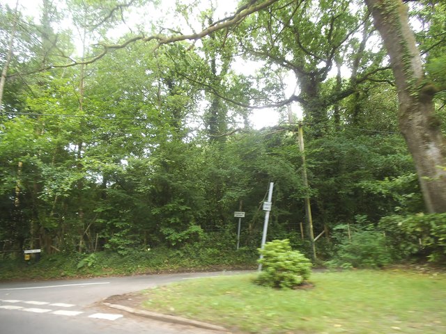
Kiln Copse is a picturesque woodland area located in Surrey, England. Spread across an area of approximately 100 acres, this beautiful forest is a popular destination for nature enthusiasts and outdoor lovers. The copse is situated near the village of Wonersh, offering a tranquil and serene escape from the bustling city life.
The woodland is predominantly composed of deciduous trees, with a variety of species such as oak, beech, and birch. This diverse mix of trees creates a vibrant and colorful display throughout the seasons, making Kiln Copse a delightful place to visit no matter the time of year. The forest floor is adorned with a carpet of wildflowers during spring, adding to its natural beauty.
Kiln Copse is home to a rich and diverse wildlife population. Birdwatchers can enjoy spotting various species such as woodpeckers, owls, and finches. The copse also provides a habitat for mammals like deer, foxes, and rabbits. Visitors may even catch a glimpse of these creatures during their exploration of the forest.
The copse is intersected by several well-maintained walking trails and footpaths, making it an ideal location for hiking, walking, and cycling. These paths offer visitors the opportunity to immerse themselves in the peaceful surroundings and appreciate the natural wonders of the woodland.
Kiln Copse is also known for its historical significance. It is believed that the copse was used in the past for charcoal production in traditional kilns, which adds an interesting cultural element to the area.
Overall, Kiln Copse in Surrey is a magical woodland retreat, offering a chance to reconnect with nature and experience the beauty of the English countryside.
If you have any feedback on the listing, please let us know in the comments section below.
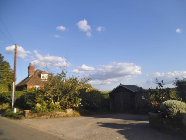
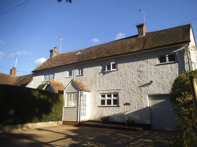
Kiln Copse Images
Images are sourced within 2km of 51.129431/-0.63978966 or Grid Reference SU9537. Thanks to Geograph Open Source API. All images are credited.


Kiln Copse is located at Grid Ref: SU9537 (Lat: 51.129431, Lng: -0.63978966)
Administrative County: Surrey
District: Waverley
Police Authority: Surrey
What 3 Words
///steepest.meaning.cuff. Near Wormley, Surrey
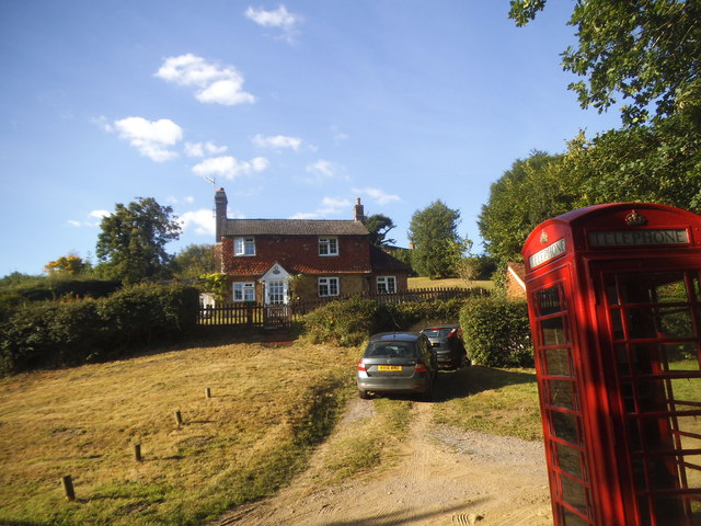
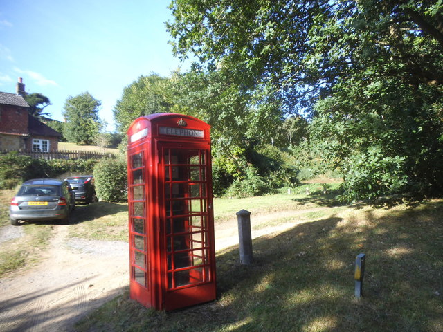
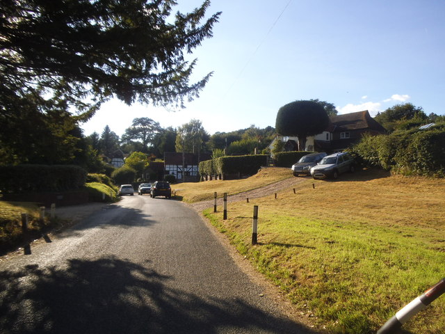
Nearby Locations
Related Wikis

Tigbourne Court
Tigbourne Court is an Arts and Crafts style country house in Wormley, Surrey, England, 1 mile (1.6 km) south of Witley. It was designed by architect Edwin...

Witley railway station
Witley railway station is a station on the Portsmouth Direct Line in Surrey, England. It is 38 miles 36 chains (61.9 km) down the line from London Waterloo...

Wormley, Surrey
Wormley is a village in Surrey, England in the parish of Witley, around Witley station, off the A283 Petworth Road about 5 km (3.1 mi) SSW of Godalming...

King Edward's School, Witley
King Edward's Witley is a private co-educational boarding and day school, founded in 1553 by King Edward VI and Nicholas Ridley, Bishop of London and Westminster...

Oakhurst Cottage
Oakhurst Cottage is a tiny 16th or 17th-century cottage in Hambledon, Surrey, in the United Kingdom. It is a Grade II listed building.The cottage was given...

St Dominic's School
St. Dominic's School in Hambledon, Surrey, England is a co-educational day school, one of the oldest special schools in the United Kingdom. It specialises...
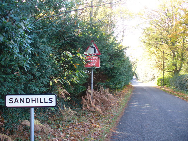
Sandhills, Surrey
Sandhills is a small hamlet located between the villages of Wormley and Brook in Surrey, UK. It is part of the Surrey Hills Area of Outstanding Beauty...

Hambledon, Surrey
Hambledon is a rural scattered village in the Waverley borough of Surrey, situated south of Guildford. It is dominated by a buffer zone of fields and woodland...
Nearby Amenities
Located within 500m of 51.129431,-0.63978966Have you been to Kiln Copse?
Leave your review of Kiln Copse below (or comments, questions and feedback).