North High Wood
Wood, Forest in Lincolnshire
England
North High Wood

North High Wood is a small forest located in the county of Lincolnshire, England. It is situated near the village of Wood and covers an area of approximately 100 acres. The forest is predominantly made up of deciduous trees such as oak, beech, and birch, creating a dense and lush woodland environment.
The forest is known for its rich biodiversity, providing a habitat for a wide range of plant and animal species. It is a popular destination for nature enthusiasts and birdwatchers, as it is home to several species of birds including woodpeckers, owls, and various songbirds. The forest also supports a diverse population of mammals, including deer, foxes, and squirrels.
North High Wood offers various recreational opportunities for visitors. There are well-maintained walking trails that meander through the forest, allowing visitors to explore its natural beauty at their own pace. The forest is also a popular spot for picnics and family outings, with designated areas equipped with picnic tables and benches.
The management of North High Wood is overseen by the local authorities, who ensure that the forest remains protected and well-maintained. They regularly carry out conservation efforts to preserve the natural habitat and promote sustainable practices within the forest.
In conclusion, North High Wood is a picturesque forest in Lincolnshire, offering a tranquil escape from the hustle and bustle of everyday life. With its diverse flora and fauna, it provides a valuable natural resource for both wildlife and visitors alike.
If you have any feedback on the listing, please let us know in the comments section below.
North High Wood Images
Images are sourced within 2km of 53.548956/-0.56348806 or Grid Reference SE9506. Thanks to Geograph Open Source API. All images are credited.


North High Wood is located at Grid Ref: SE9506 (Lat: 53.548956, Lng: -0.56348806)
Unitary Authority: North Lincolnshire
Police Authority: Humberside
What 3 Words
///dads.forge.willpower. Near Scawby, Lincolnshire
Nearby Locations
Related Wikis

Broughton, Lincolnshire
Broughton is a town and civil parish situated on the Roman Ermine Street, in the North Lincolnshire district of Lincolnshire, England. The population of...
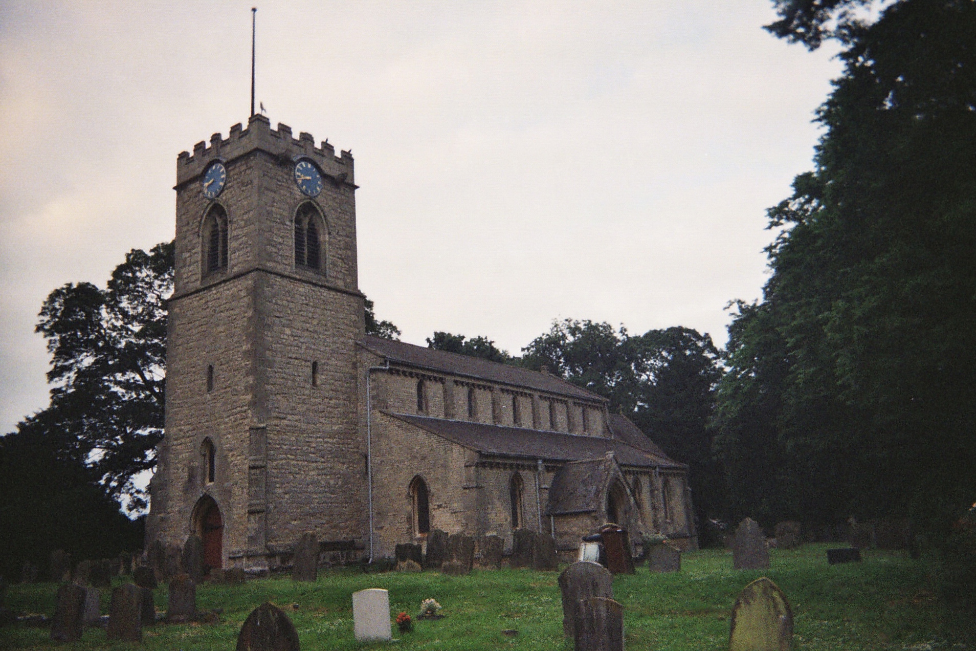
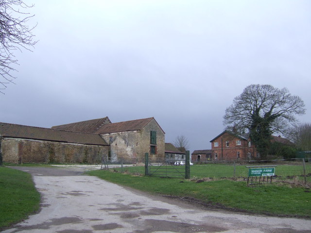
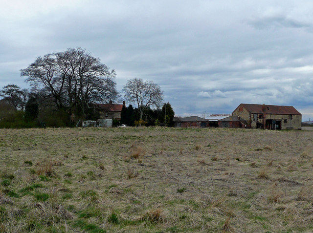
Scawby
Scawby is a village and civil parish in North Lincolnshire, England. It is situated 2 miles (3 km) south-west from Brigg, and just east from the A15 road...
Sturton, North Lincolnshire
Sturton is a village in the civil parish of Scawby, North Lincolnshire, England. It lies 2.5 miles (4.0 km) south-west from Brigg, 0.5 miles (0.8 km) south...
Holme, North Lincolnshire
Holme is a linear settlement and former civil parish, now in the parish of Messingham, in the North Lincolnshire district, in the ceremonial county of...
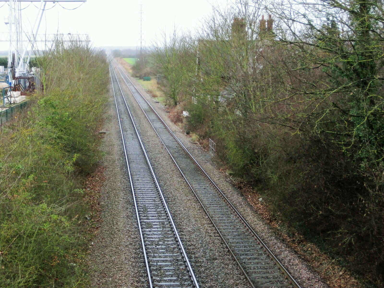
Scawby railway station
Scawby railway station, also known as Scawby and Hibaldstow railway station, was a station in Scawby, Lincolnshire. It was located on the line between...
Gokewell Priory
Gokewell Priory was a Cistercian Catholic priory in Broughton, Lincolnshire, England. (53°34′52.098″N 0°34′51.245″W). The priory was founded by William...
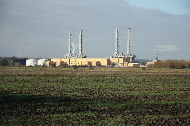
Glanford Brigg Power Station
Glanford Brigg Power Station (also known as Brigg Power Station) is a gas-fired power station in North Lincolnshire, England. It is capable of firing diesel...
Clapgate Pits
Clapgate Pits is a disused quarry near Broughton, Lincolnshire. This 1.0 ha (2.5 acres) site has been managed by Lincolnshire Wildlife Trust since 1996...
Nearby Amenities
Located within 500m of 53.548956,-0.56348806Have you been to North High Wood?
Leave your review of North High Wood below (or comments, questions and feedback).