Hanging Wood

Wood, Forest in Lincolnshire South Kesteven

England

Hanging Wood

Entrance to Heath Lane track At the edge of RAF Barkston Heath. The track leads down to Barkston in the Witham valley
Entrance to Heath Lane track Credit: Tim Heaton

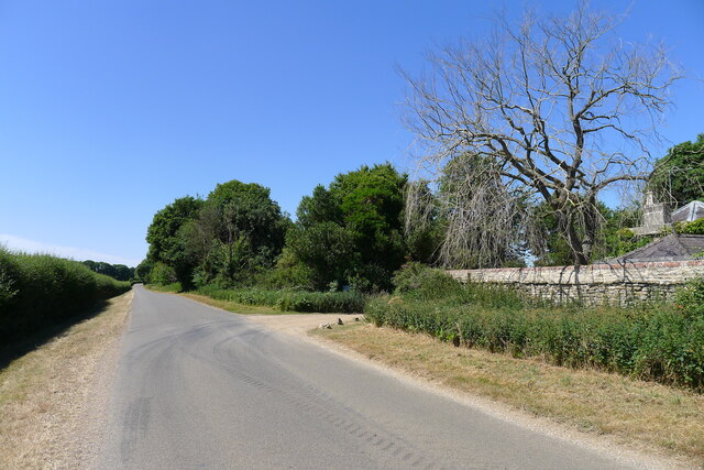
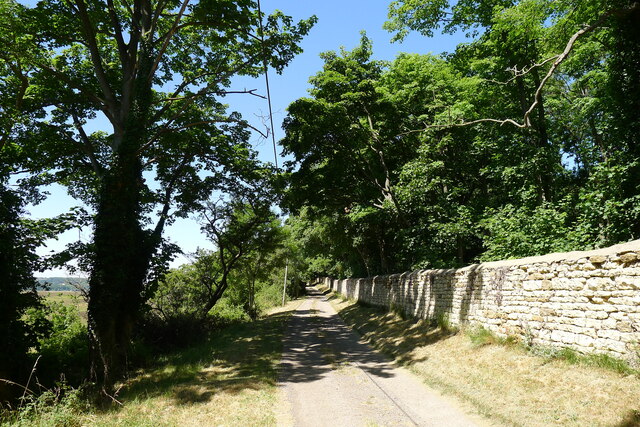
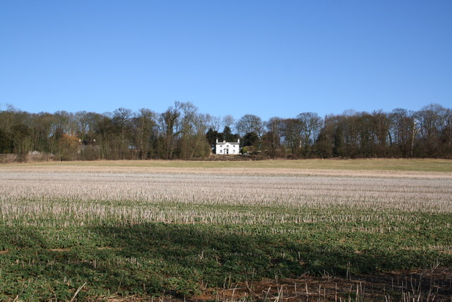
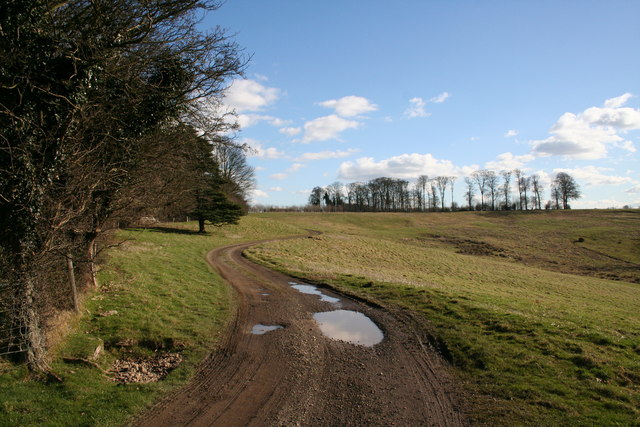
Hanging Wood is a picturesque forest located in the county of Lincolnshire, England. Covering an area of approximately 100 acres, it is a popular destination for nature enthusiasts and outdoor adventurers. The wood is nestled in a rural setting, surrounded by rolling hills and meandering streams, providing visitors with a tranquil and serene atmosphere.

The woodland is predominantly composed of deciduous trees, including oak, beech, and ash, which create a stunning canopy of vibrant colors during the autumn months. The forest floor is abundant with native flora, such as bluebells, primroses, and wild garlic, adding to the beauty and diversity of the wood.

Hanging Wood offers a range of recreational activities for visitors to enjoy. There are well-maintained walking trails that wind through the forest, allowing visitors to explore the various habitats and spot the diverse wildlife that call this wood their home. Birdwatchers will be delighted by the variety of avian species that can be observed, including woodpeckers, owls, and various songbirds.

For those seeking a more adventurous experience, Hanging Wood has designated areas for camping and picnicking. These facilities provide a perfect opportunity for families and friends to gather and make lasting memories in nature's embrace.

In conclusion, Hanging Wood is a captivating forest in Lincolnshire, England, offering a peaceful retreat for individuals seeking solace in nature. With its stunning scenery, diverse wildlife, and recreational activities, it is a must-visit destination for anyone looking to connect with the great outdoors.

If you have any feedback on the listing, please let us know in the comments section below.

Hanging Wood Images

Images are sourced within 2km of 52.942531/-0.58855093 or Grid Reference SK9439. Thanks to Geograph Open Source API. All images are credited.

Entrance to Heath Lane track At the edge of RAF Barkston Heath. The track leads down to Barkston in the Witham valley
Entrance to Heath Lane track
At the edge of RAF Barkston Heath. The track leads down to Barkston in the Witham valley
Heath Lane The belt of trees on the horizon, Minnets Wood, sits on the top of the escarpment overlooking the Witham valley
Heath Lane
The belt of trees on the horizon, Minnets Wood, sits on the top of the escarpment overlooking the Witham valley
Heath Lane passing East Lodge The lodge was once part of the former Syston Park estate
Heath Lane passing East Lodge
The lodge was once part of the former Syston Park estate
Green Lane, Syston, Grantham Running by the estate wall of the former Syston Park, on the edge of the Jurassic limestone scarpment overlooking Grantham
Green Lane, Syston, Grantham
Running by the estate wall of the former Syston Park, on the edge of the Jurassic limestone scarpment overlooking Grantham
Gashouse Plantation A handsome house with a wonderful view in Gashouse Plantation, Syston Park. Syston Hall, home of the Thorold family has gone but the splendid parkland remains.
Gashouse Plantation
A handsome house with a wonderful view in Gashouse Plantation, Syston Park. Syston Hall, home of the Thorold family has gone but the splendid parkland remains.
Whipperstall Hill View towards Grantham from Whipperstall Hill
Whipperstall Hill
View towards Grantham from Whipperstall Hill
Punchbowl The dip to the right is known as Punchbowl, this track leads from Beggar's Lane
Punchbowl
The dip to the right is known as Punchbowl, this track leads from Beggar's Lane
Field of barley This square is very busy: Gipple Farm straight ahead, Mushroom Farm to the right and Syston Grange Farm out of shot to the right. Heath Lane and RAF Barkston Heath are off to the left. Beyond the barley and kale there is a maze of tracks and farm roads: you could call it an agri-industrial estate!
Field of barley
This square is very busy: Gipple Farm straight ahead, Mushroom Farm to the right and Syston Grange Farm out of shot to the right. Heath Lane and RAF Barkston Heath are off to the left. Beyond the barley and kale there is a maze of tracks and farm roads: you could call it an agri-industrial estate!
Farmland at Syston Park Farm The "big house" no longer exists, (it was demolished in 1923), but many of the landscape features are in evidence including a tree lined approach to the farmhouse. The large farm has diversified into pick-your-own fruit and has a successful and award winning farm shop and cafe.
Farmland at Syston Park Farm
The "big house" no longer exists, (it was demolished in 1923), but many of the landscape features are in evidence including a tree lined approach to the farmhouse. The large farm has diversified into pick-your-own fruit and has a successful and award winning farm shop and cafe.
RAF Barkston Heath Crash Gate This is one of seven crash gates situated around the airfield. These gates are used by the MOD Fire Service, mainly to exit the airfield in the event of a plane crash taking place off the main site.
RAF Barkston Heath Crash Gate
This is one of seven crash gates situated around the airfield. These gates are used by the MOD Fire Service, mainly to exit the airfield in the event of a plane crash taking place off the main site.
Rose Cottage beyond a field of rape - Syston
Belton Park Bellmount Tower can be seen in the distance at centre background.
Belton Park
Bellmount Tower can be seen in the distance at centre background.
Gashouse Plantation Summer view to Gashouse Plantation <a title="https://www.geograph.org.uk/photo/130263" href="https://www.geograph.org.uk/photo/130263">Link</a>
Gashouse Plantation
Summer view to Gashouse Plantation Link
Heath Lane National Byway over Barkston Heath
Heath Lane
National Byway over Barkston Heath
Punchbowl Undulating farmland near Belton Ashes
Punchbowl
Undulating farmland near Belton Ashes
Punchbowl View across Punchbowl in Belton park towards Whipperstall Hill
Punchbowl
View across Punchbowl in Belton park towards Whipperstall Hill
East Lodge Lodge to the demolished Syston Park
East Lodge
Lodge to the demolished Syston Park
Heath Lane Restricted byway on Barkston Heath
Heath Lane
Restricted byway on Barkston Heath
Show me another place!

Hanging Wood is located at Grid Ref: SK9439 (Lat: 52.942531, Lng: -0.58855093)

Administrative County: Lincolnshire

District: South Kesteven

Police Authority: Lincolnshire

What 3 Words

///charging.crafts.dragon. Near Grantham, Lincolnshire

Related Wikis

Belton House Boathouse

The Boathouse on Boathouse Pond, Belton House, Belton, Lincolnshire was designed by Anthony Salvin in 1838–1839. It is a Grade II listed building. ��2...

Belton, South Kesteven

Belton is a village in the civil parish of Belton and Manthorpe, in the South Kesteven district of Lincolnshire, England. It is situated on the A607 road...
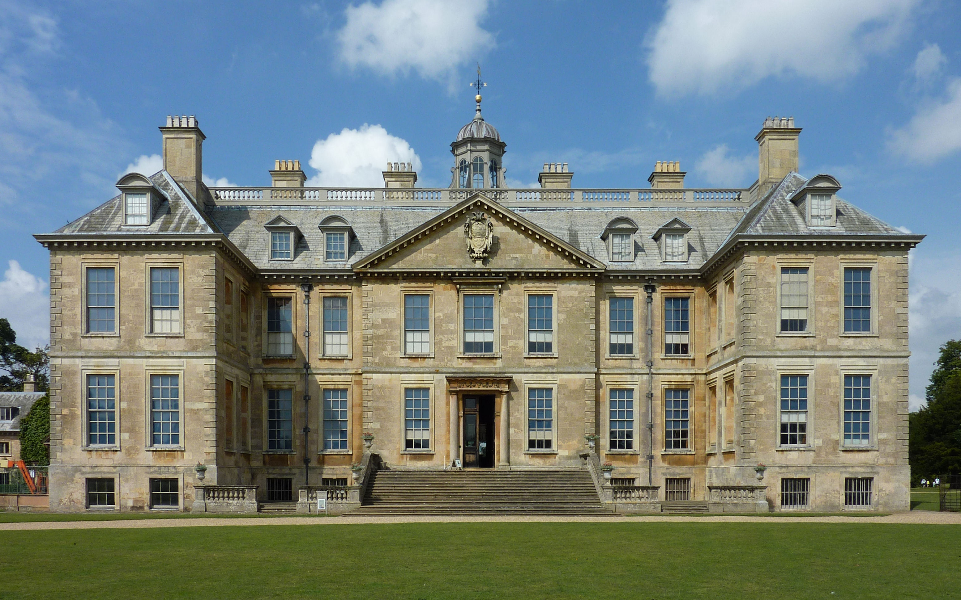
Belton House

Belton House is a Grade I listed country house in the parish of Belton near Grantham in Lincolnshire, England, built between 1685 and 1687 by Sir John...

St Peter and St Paul's Church, Belton

The Church of St Peter and St Paul, Belton, South Kesteven, Lincolnshire is a functioning parish church and a Grade I listed building. Since the 17th century...
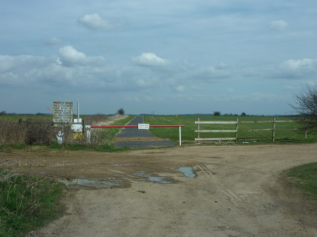
RAF Belton Park

RAF Belton Park was established in 1942 as the Royal Air Force Regiment Depot, for training RAF Regiment personnel in airfield defence. Belton Park is...

Welby, Lincolnshire

Welby is a village and civil parish in the South Kesteven district of Lincolnshire, England. The population of the civil parish was 169 in 82 households...

Londonthorpe

Londonthorpe is a village to the east of Grantham, in the civil parish of Londonthorpe and Harrowby Without, in South Kesteven district of Lincolnshire...

Syston, Lincolnshire

Syston is a village and civil parish in the South Kesteven district of Lincolnshire, England. The population of the civil parish was 162 at the 2011 census...

Nearby Amenities

Located within 500m of 52.942531,-0.58855093
Power: pole
Lat/Long: 52.9393943/-0.5835573
Power: pole
Lat/Long: 52.9404687/-0.5832553
Power: pole
Lat/Long: 52.9414579/-0.5830118
Power: pole
Lat/Long: 52.9424736/-0.582739
Power: pole
Lat/Long: 52.9434702/-0.5824818
Power: pole
Lat/Long: 52.9445763/-0.5832403
Power: pole
Lat/Long: 52.9456952/-0.5839798
Belton Ashes
Place: isolated_dwelling
Source: Bing
Lat/Long: 52.945962/-0.586414
Turning Loop
Lat/Long: 52.9462436/-0.5863296
The data included in this document is from www.openstreetmap.org. The data is made available under ODbL.

Have you been to Hanging Wood?

Leave your review of Hanging Wood below (or comments, questions and feedback).