Bracken Plantation

Wood, Forest in Lincolnshire South Kesteven

England

Bracken Plantation

Heath Lane The belt of trees on the horizon, Minnets Wood, sits on the top of the escarpment overlooking the Witham valley
Heath Lane Credit: Tim Heaton

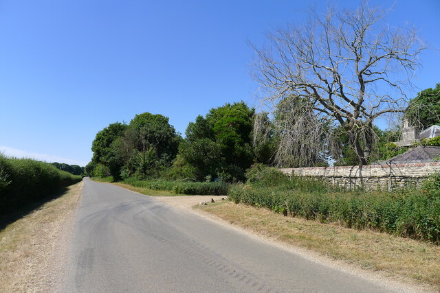
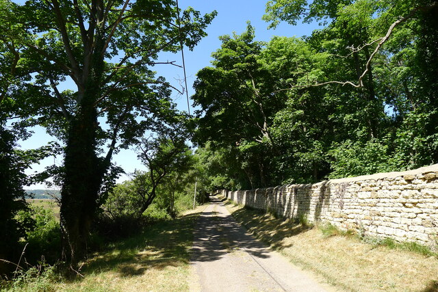
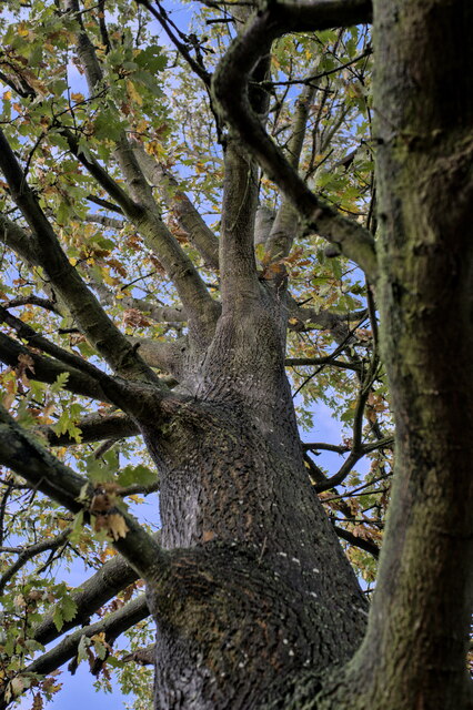
Bracken Plantation is a picturesque woodland located in Lincolnshire, England. Situated in the heart of the county, this sprawling forest covers an area of approximately 200 acres. The plantation is primarily composed of bracken ferns, hence the name, which create a dense and lush environment.

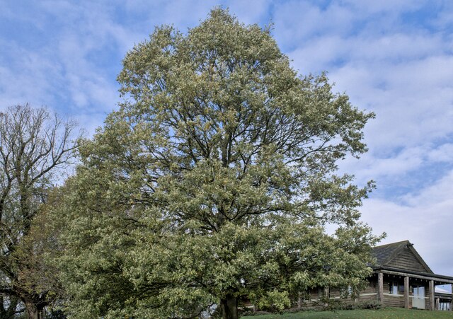
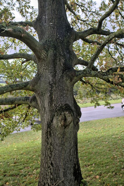
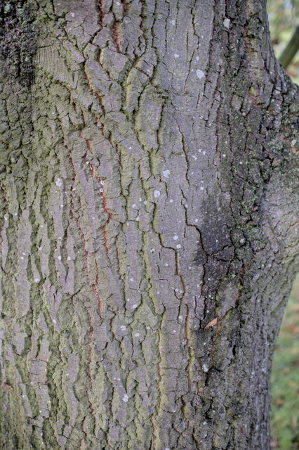
The woodland boasts a diverse range of tree species, including oak, beech, and birch. These towering trees provide a canopy of shade and shelter for the countless flora and fauna that call the plantation home. The forest floor is carpeted with an array of wildflowers, adding vibrant bursts of color to the serene landscape.

Bracken Plantation is not only a haven for nature enthusiasts but also serves as an important habitat for various wildlife species. It is a well-known breeding ground for birds such as woodpeckers, owls, and thrushes. Additionally, the forest supports a thriving population of small mammals including rabbits, foxes, and squirrels.

The plantation offers numerous walking trails and paths, allowing visitors to explore its natural beauty. These paths wind through the forest, offering glimpses of tranquil ponds and babbling brooks along the way. The plantation's management actively encourages responsible outdoor activities, such as birdwatching and photography, ensuring the preservation of the delicate ecosystem.

Bracken Plantation is not only a place of natural beauty but also holds historical significance. The woodland has been a part of Lincolnshire's heritage for centuries, with evidence of human activity dating back to ancient times. It is a testament to the enduring connection between humans and nature.

Overall, Bracken Plantation is a captivating woodland that offers a serene escape from the hustle and bustle of everyday life. With its diverse flora and fauna, rich history, and tranquil atmosphere, it is truly a gem in the heart of Lincolnshire.

If you have any feedback on the listing, please let us know in the comments section below.

Bracken Plantation Images

Images are sourced within 2km of 52.945351/-0.59968081 or Grid Reference SK9439. Thanks to Geograph Open Source API. All images are credited.

Heath Lane The belt of trees on the horizon, Minnets Wood, sits on the top of the escarpment overlooking the Witham valley
Heath Lane
The belt of trees on the horizon, Minnets Wood, sits on the top of the escarpment overlooking the Witham valley
Heath Lane approaching Minnett's Wood Running towards the edge of the escarpment of Jurassic Lincolnshire Limestone
Heath Lane approaching Minnett's Wood
Running towards the edge of the escarpment of Jurassic Lincolnshire Limestone
North Lodge at the top of Minnett's Hill Once part of the former Syston Park estate. The hill drops down the Jurassic limestone escarpment towards the River Witham.
North Lodge at the top of Minnett's Hill
Once part of the former Syston Park estate. The hill drops down the Jurassic limestone escarpment towards the River Witham.
Heath Lane passing East Lodge The lodge was once part of the former Syston Park estate
Heath Lane passing East Lodge
The lodge was once part of the former Syston Park estate
Green Lane, Syston, Grantham Running by the estate wall of the former Syston Park, on the edge of the Jurassic limestone scarpment overlooking Grantham
Green Lane, Syston, Grantham
Running by the estate wall of the former Syston Park, on the edge of the Jurassic limestone scarpment overlooking Grantham
Turkey Oak Quercus cerris, the Turkey Oak was introduced in 1700.
Turkey Oak
Quercus cerris, the Turkey Oak was introduced in 1700.
Quercus cerris The trunk of the tree seen in <a href="https://www.geograph.org.uk/photo/7339767">SK9340 : Turkey Oak</a>.
Quercus cerris
The trunk of the tree seen in SK9340 : Turkey Oak.
Always look up The crown and upper parts of the tree seen in <a href="https://www.geograph.org.uk/photo/7339767">SK9340 : Turkey Oak</a>.
Always look up
The crown and upper parts of the tree seen in SK9340 : Turkey Oak.
Quercus cerris, Turkey Oak The bark of the tree seen in <a href="https://www.geograph.org.uk/photo/7339767">SK9340 : Turkey Oak</a> and <a href="https://www.geograph.org.uk/photo/7339769">SK9340 : Quercus cerris</a>.
Quercus cerris, Turkey Oak
The bark of the tree seen in SK9340 : Turkey Oak and SK9340 : Quercus cerris.
Church of St Mary, Syston Listed Grade II, from the 11th century <span class="nowrap"><a title="https://historicengland.org.uk/listing/the-list/list-entry/1147012?section=official-list-entry" rel="nofollow ugc noopener" href="https://historicengland.org.uk/listing/the-list/list-entry/1147012?section=official-list-entry">Link</a><img style="margin-left:2px;" alt="External link" title="External link - shift click to open in new window" src="https://s1.geograph.org.uk/img/external.png" width="10" height="10"/></span>
Church of St Mary, Syston
Listed Grade II, from the 11th century LinkExternal link
Churchyard wall, Syston Listed Grade II, early 19th century. The opening, which now allows access to the extended graveyard, was originally made to frame the vista of the church when seen from Syston Park to the east   <span class="nowrap"><a title="https://historicengland.org.uk/listing/the-list/list-entry/1360319?section=official-list-entry" rel="nofollow ugc noopener" href="https://historicengland.org.uk/listing/the-list/list-entry/1360319?section=official-list-entry">Link</a><img style="margin-left:2px;" alt="External link" title="External link - shift click to open in new window" src="https://s1.geograph.org.uk/img/external.png" width="10" height="10"/></span>
Churchyard wall, Syston
Listed Grade II, early 19th century. The opening, which now allows access to the extended graveyard, was originally made to frame the vista of the church when seen from Syston Park to the east LinkExternal link
South door, Church of St Mary, Syston "South door has a restored Saxon lintel with standing figures of saints under an architectural arcade. Above is a C12 tympanum with a billet moulded hood mould, a double order of star motifs and a central panel filled with diagonal trellis lines. The central parts of the lintel and the tympanum were cut by the insertion of a pointed arch during the C13, but this was removed during the C19 and an approximation of the original design substituted." <span class="nowrap"><a title="https://historicengland.org.uk/listing/the-list/list-entry/1147012?section=official-list-entry" rel="nofollow ugc noopener" href="https://historicengland.org.uk/listing/the-list/list-entry/1147012?section=official-list-entry">Link</a><img style="margin-left:2px;" alt="External link" title="External link - shift click to open in new window" src="https://s1.geograph.org.uk/img/external.png" width="10" height="10"/></span>
South door, Church of St Mary, Syston
"South door has a restored Saxon lintel with standing figures of saints under an architectural arcade. Above is a C12 tympanum with a billet moulded hood mould, a double order of star motifs and a central panel filled with diagonal trellis lines. The central parts of the lintel and the tympanum were cut by the insertion of a pointed arch during the C13, but this was removed during the C19 and an approximation of the original design substituted." LinkExternal link
Minnett's Hill (Lane) Passing through Minnett's Wood. The road becomes a simple track and byway once the top of the hill is reached.
Minnett's Hill (Lane)
Passing through Minnett's Wood. The road becomes a simple track and byway once the top of the hill is reached.
Syston Park, East Lodge Entrance to Syston Park from Heath Lane. The Old Hall which would have been the centrepiece of this estate was one of a number of Lincolnshire properties owned by members of the widespread Thorold family but was demolished in 1928.
Syston Park, East Lodge
Entrance to Syston Park from Heath Lane. The Old Hall which would have been the centrepiece of this estate was one of a number of Lincolnshire properties owned by members of the widespread Thorold family but was demolished in 1928.
Lane and Byway Intersection on Whipperstall Hill
View Towards Syston This picture was taken from the south east corner of the grid square where a muddy field entrance on a road bend offers decent views towards Syston village.
View Towards Syston
This picture was taken from the south east corner of the grid square where a muddy field entrance on a road bend offers decent views towards Syston village.
St.Mary's church, Syston, Lincs. A Norman tower, nave and chancel arch, also, a restored tympanum over the south door. A fine church tucked away by the old hall.
St.Mary's church, Syston, Lincs.
A Norman tower, nave and chancel arch, also, a restored tympanum over the south door. A fine church tucked away by the old hall.
St Mary's Church, Syston
Show me another place!

Bracken Plantation is located at Grid Ref: SK9439 (Lat: 52.945351, Lng: -0.59968081)

Administrative County: Lincolnshire

District: South Kesteven

Police Authority: Lincolnshire

What 3 Words

///earplugs.squashes.lend. Near Grantham, Lincolnshire

Related Wikis

Belton House Boathouse

The Boathouse on Boathouse Pond, Belton House, Belton, Lincolnshire was designed by Anthony Salvin in 1838–1839. It is a Grade II listed building. ��2...

Belton, South Kesteven

Belton is a village in the civil parish of Belton and Manthorpe, in the South Kesteven district of Lincolnshire, England. It is situated on the A607 road...

St Peter and St Paul's Church, Belton

The Church of St Peter and St Paul, Belton, South Kesteven, Lincolnshire is a functioning parish church and a Grade I listed building. Since the 17th century...
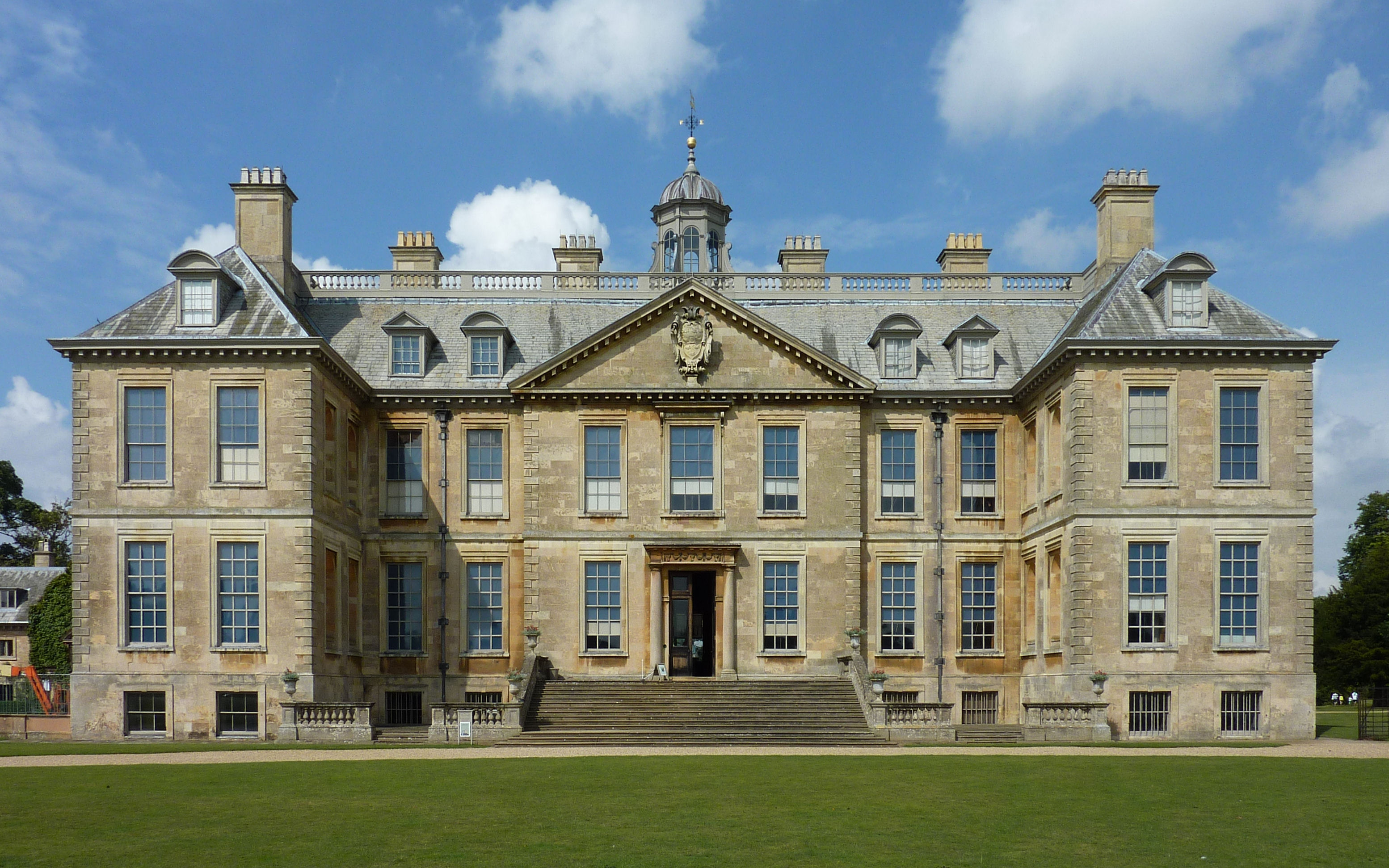
Belton House

Belton House is a Grade I listed country house in the parish of Belton near Grantham in Lincolnshire, England, built between 1685 and 1687 by Sir John...

Have you been to Bracken Plantation?

Leave your review of Bracken Plantation below (or comments, questions and feedback).