Seven Acre Copse
Wood, Forest in Surrey Waverley
England
Seven Acre Copse

Seven Acre Copse is a picturesque woodland located in Surrey, England. Covering an area of approximately seven acres, the copse is a popular destination for nature enthusiasts and those seeking a tranquil escape from the bustling city life.
The copse is characterized by its dense canopy of trees, predominantly consisting of oak, beech, and ash. These mature trees create a shady and cool atmosphere, perfect for leisurely walks and picnics on hot summer days. The forest floor is carpeted with a variety of wildflowers, ferns, and mosses, adding a burst of color and beauty to the surroundings.
Several well-maintained footpaths wind through the copse, allowing visitors to explore its natural wonders. These trails offer opportunities to spot wildlife such as squirrels, rabbits, and various bird species, making it a haven for wildlife enthusiasts and birdwatchers.
In addition to its natural beauty, Seven Acre Copse has historical significance. It is believed that the copse has been present for centuries, serving as a hunting ground for the local nobility in medieval times. The remnants of an old deer park wall can still be seen, adding to the copse's charm and sense of history.
Overall, Seven Acre Copse in Surrey is a delightful woodland retreat, offering a peaceful and scenic environment for all nature lovers. Its combination of lush trees, vibrant flowers, and abundant wildlife make it a must-visit destination for anyone seeking a connection with nature.
If you have any feedback on the listing, please let us know in the comments section below.
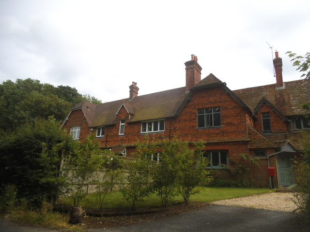
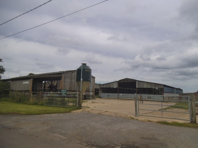
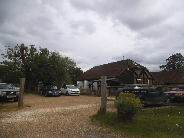
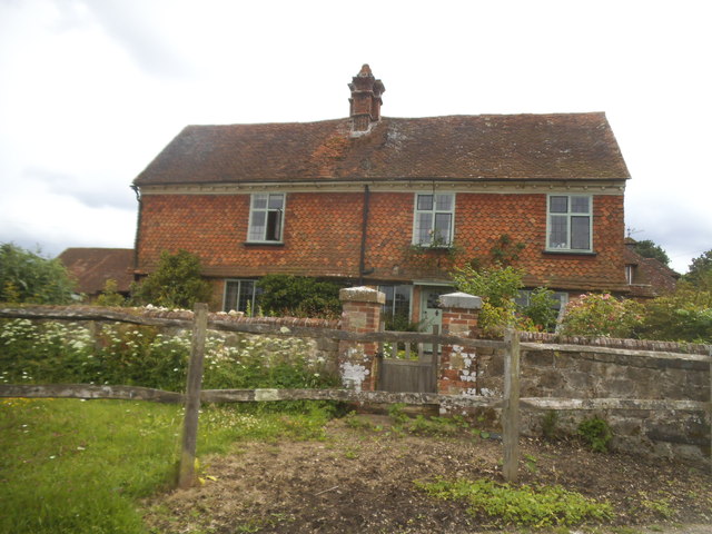
Seven Acre Copse Images
Images are sourced within 2km of 51.108667/-0.64757028 or Grid Reference SU9435. Thanks to Geograph Open Source API. All images are credited.


Seven Acre Copse is located at Grid Ref: SU9435 (Lat: 51.108667, Lng: -0.64757028)
Administrative County: Surrey
District: Waverley
Police Authority: Surrey
What 3 Words
///among.dispensed.organs. Near Chiddingfold, Surrey
Nearby Locations
Related Wikis

Netherside Stream Outcrops
Netherside Stream Outcrops is a 2.9-hectare (7.2-acre) geological Site of Special Scientific Interest north-east of Haslemere in Surrey. It is a Geological...

Chiddingfold
Chiddingfold is a village and civil parish in the Weald in the Waverley district of Surrey, England. It lies on the A283 road between Milford and Petworth...

St Teresa of Avila Church, Chiddingfold
St Teresa of Avila Church is a Roman Catholic Parish church in Chiddingfold, Surrey. It is situated on the corner of Petworth Road and Woodside Road in...

Ramsnest Common
Ramsnest Common is a hamlet in the far south of the Borough of Waverley, the largest district of Surrey, England centred on the A283 1.5 miles (2.4 km...
Nearby Amenities
Located within 500m of 51.108667,-0.64757028Have you been to Seven Acre Copse?
Leave your review of Seven Acre Copse below (or comments, questions and feedback).