Big Copse
Wood, Forest in Surrey Waverley
England
Big Copse

Big Copse is a serene and enchanting woodland located in Surrey, England. Situated in the southern part of the county, it covers an area of approximately 50 acres and is nestled amidst the picturesque countryside. The copse is part of the larger Surrey Hills Area of Outstanding Natural Beauty, which further enhances its scenic appeal.
This ancient woodland is characterized by its dense and diverse tree canopy, predominantly composed of oak, beech, and birch trees. The forest floor is adorned with a rich carpet of bluebells and other wildflowers during the spring season, creating a vibrant and colorful landscape. The canopy provides a haven for countless bird species, including woodpeckers, owls, and warblers, making it a popular spot for birdwatching enthusiasts.
Big Copse offers numerous walking trails and footpaths that wind through its tranquil surroundings, providing ample opportunities for visitors to explore and immerse themselves in nature. The woodland is also home to a variety of wildlife, such as deer, badgers, and foxes, which can often be spotted by keen-eyed observers.
The copse is managed by local authorities who ensure its preservation and conservation. It serves as a valuable habitat for a wide range of flora and fauna, contributing to the overall biodiversity of the area. In recent years, efforts have been made to enhance the copse's accessibility, with the addition of well-maintained paths and signage.
Big Copse, Surrey, offers a haven of tranquility and natural beauty, making it a cherished destination for nature lovers, hikers, and wildlife enthusiasts alike. Its serene atmosphere and diverse ecosystem make it a true gem within the Surrey countryside.
If you have any feedback on the listing, please let us know in the comments section below.
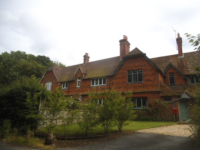
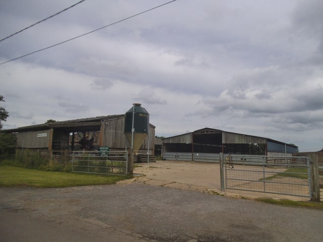
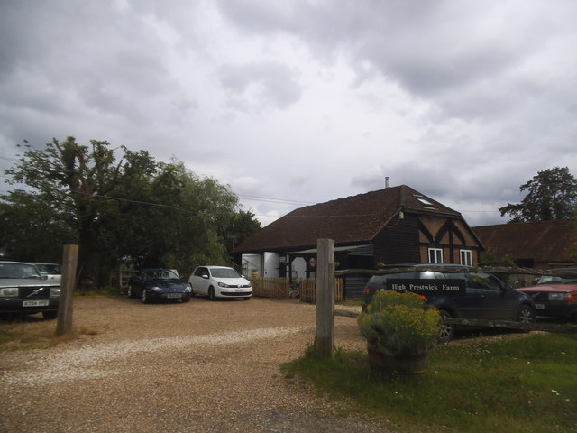
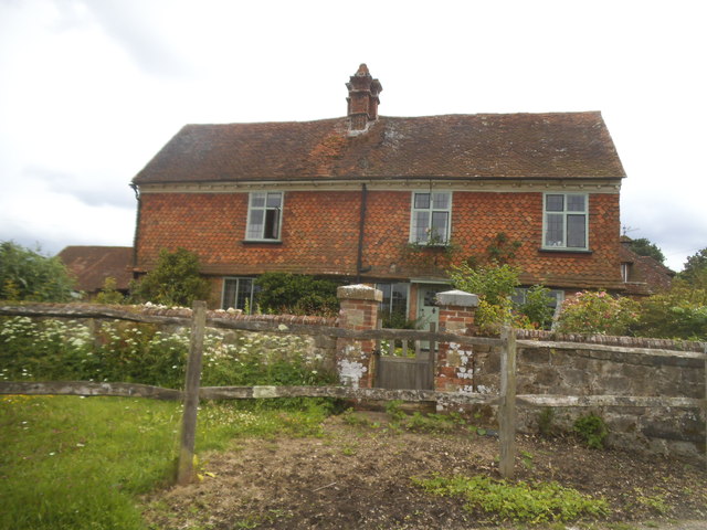
Big Copse Images
Images are sourced within 2km of 51.114325/-0.65006246 or Grid Reference SU9435. Thanks to Geograph Open Source API. All images are credited.


Big Copse is located at Grid Ref: SU9435 (Lat: 51.114325, Lng: -0.65006246)
Administrative County: Surrey
District: Waverley
Police Authority: Surrey
What 3 Words
///attitudes.housework.solar. Near Chiddingfold, Surrey
Nearby Locations
Related Wikis

St Teresa of Avila Church, Chiddingfold
St Teresa of Avila Church is a Roman Catholic Parish church in Chiddingfold, Surrey. It is situated on the corner of Petworth Road and Woodside Road in...

Chiddingfold
Chiddingfold is a village and civil parish in the Weald in the Waverley district of Surrey, England. It lies on the A283 road between Milford and Petworth...

Netherside Stream Outcrops
Netherside Stream Outcrops is a 2.9-hectare (7.2-acre) geological Site of Special Scientific Interest north-east of Haslemere in Surrey. It is a Geological...

Witley railway station
Witley railway station is a station on the Portsmouth Direct Line in Surrey, England. It is 38 miles 36 chains (61.9 km) down the line from London Waterloo...

Tigbourne Court
Tigbourne Court is an Arts and Crafts style country house in Wormley, Surrey, England, 1 mile (1.6 km) south of Witley. It was designed by architect Edwin...

Ramsnest Common
Ramsnest Common is a hamlet in the far south of the Borough of Waverley, the largest district of Surrey, England centred on the A283 1.5 miles (2.4 km...

Wormley, Surrey
Wormley is a village in Surrey, England in the parish of Witley, around Witley station, off the A283 Petworth Road about 5 km (3.1 mi) SSW of Godalming...
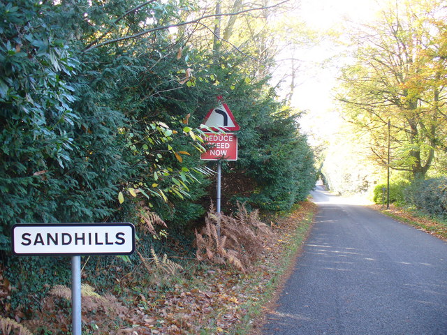
Sandhills, Surrey
Sandhills is a small hamlet located between the villages of Wormley and Brook in Surrey, UK. It is part of the Surrey Hills Area of Outstanding Beauty...
Nearby Amenities
Located within 500m of 51.114325,-0.65006246Have you been to Big Copse?
Leave your review of Big Copse below (or comments, questions and feedback).