Calf Close Plantation

Wood, Forest in Lincolnshire South Kesteven

England

Calf Close Plantation

Heath Lane The belt of trees on the horizon, Minnets Wood, sits on the top of the escarpment overlooking the Witham valley
Heath Lane Credit: Tim Heaton

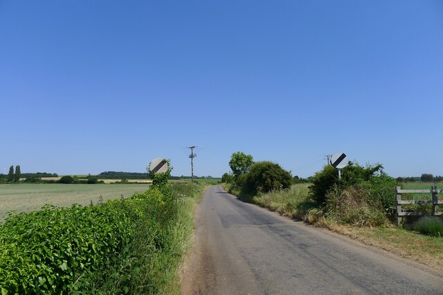
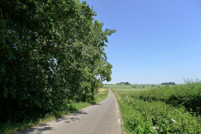
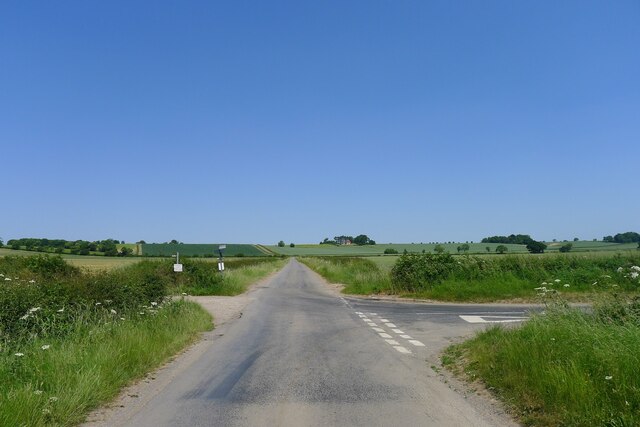
Calf Close Plantation is a picturesque woodland located in Lincolnshire, England. It spans over a vast area and is renowned for its serene and tranquil atmosphere. The plantation is predominantly made up of deciduous trees, including oak, beech, and birch, which adds to the beauty of the landscape, especially during the autumn season when the foliage turns into vibrant hues of red, orange, and gold.

The woodland is home to a diverse range of flora and fauna, making it a popular spot for nature enthusiasts and wildlife lovers. Various species of birds, including woodpeckers, owls, and songbirds, can be spotted within the plantation, making it a haven for birdwatching. Additionally, small mammals such as squirrels and rabbits can also be found darting through the undergrowth.

Walking trails meander through Calf Close Plantation, allowing visitors to explore the woodland at their own pace. These trails provide an opportunity to immerse oneself in the natural beauty of the surroundings and breathe in the fresh, crisp air. The plantation also features picnic areas, making it an ideal destination for families and groups to enjoy a day out in nature.

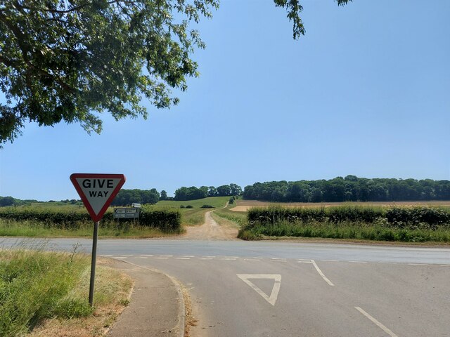
Calf Close Plantation is easily accessible by road, with ample parking facilities available nearby. It is a popular destination for both locals and tourists seeking solace in the midst of nature's splendor. Whether one is looking for a peaceful retreat or an opportunity to reconnect with the natural world, Calf Close Plantation offers a serene and enchanting experience in the heart of Lincolnshire.

If you have any feedback on the listing, please let us know in the comments section below.

Calf Close Plantation Images

Images are sourced within 2km of 52.977115/-0.59080516 or Grid Reference SK9443. Thanks to Geograph Open Source API. All images are credited.

Heath Lane The belt of trees on the horizon, Minnets Wood, sits on the top of the escarpment overlooking the Witham valley
Heath Lane
The belt of trees on the horizon, Minnets Wood, sits on the top of the escarpment overlooking the Witham valley
Heath Lane approaching Minnet's Wood Running towards the edge of the escarpment of Jurassic Lincolnshire Limestone
Heath Lane approaching Minnet's Wood
Running towards the edge of the escarpment of Jurassic Lincolnshire Limestone
North Lodge at the top of Minnett's Hill Once part of the former Syston Park estate. The hill drops down the Jurassic limestone escarpment towards the River Witham.
North Lodge at the top of Minnett's Hill
Once part of the former Syston Park estate. The hill drops down the Jurassic limestone escarpment towards the River Witham.
Junction of bridleway and restricted byway at the edge of RAF Barkston Heath The bridleway runs between the two hedges, and the junction is shifted slightly from the position shown on the OS map.
Junction of bridleway and restricted byway at the edge of RAF Barkston Heath
The bridleway runs between the two hedges, and the junction is shifted slightly from the position shown on the OS map.
Bridleway by a field of oats The bridleway leads towards Honington
Bridleway by a field of oats
The bridleway leads towards Honington
Honington Camp hill fort Part of the defensive earth banks of an Iron Age hill fort or settlement <span class="nowrap"><a title="https://heritage-explorer.lincolnshire.gov.uk/Monument/MLI30366" rel="nofollow ugc noopener" href="https://heritage-explorer.lincolnshire.gov.uk/Monument/MLI30366">Link</a><img style="margin-left:2px;" alt="External link" title="External link - shift click to open in new window" src="https://s1.geograph.org.uk/img/external.png" width="10" height="10"/></span> <span class="nowrap"><a title="http://www.stone-circles.org.uk/stone/honington.htm" rel="nofollow ugc noopener" href="http://www.stone-circles.org.uk/stone/honington.htm">Link</a><img style="margin-left:2px;" alt="External link" title="External link - shift click to open in new window" src="https://s1.geograph.org.uk/img/external.png" width="10" height="10"/></span> . It sits close to the top of the Jurassic limestone escarpment overlooking the Witham valley and Vale of Belvoir.
Honington Camp hill fort
Part of the defensive earth banks of an Iron Age hill fort or settlement LinkExternal link LinkExternal link . It sits close to the top of the Jurassic limestone escarpment overlooking the Witham valley and Vale of Belvoir.
Hough Road leading north from Barkston Start of a pleasant cycle run towards Hough-on-the-Hill
Hough Road leading north from Barkston
Start of a pleasant cycle run towards Hough-on-the-Hill
Hough Lane Level Crossing Crossing the 'Poacher Line' running from Grantham to Skegness via Sleaford and Boston. The crossing is signed Hough Lane, OS map calls this Hough Road
Hough Lane Level Crossing
Crossing the 'Poacher Line' running from Grantham to Skegness via Sleaford and Boston. The crossing is signed Hough Lane, OS map calls this Hough Road
Hough Road from the north side of Grove Plantations
Church of St Wilfred, Honington Listed Grade I, from the 11th century.
Church of St Wilfred, Honington
Listed Grade I, from the 11th century.
Main Street leaving the south side of Honington
Main Street, Honington, joining the A607 Across the road a Restricted Byway, Heath Lane, climbs up the escarpment of  Lincolnshire limestone known as the 'Lincoln Cliff'
Main Street, Honington, joining the A607
Across the road a Restricted Byway, Heath Lane, climbs up the escarpment of Lincolnshire limestone known as the 'Lincoln Cliff'
Heath Lane running down to Honington View west from the limestone escarpment of the 'Lincoln Cliff'
Heath Lane running down to Honington
View west from the limestone escarpment of the 'Lincoln Cliff'
View north-east from Heath Lane Looking along the shallow limestone escarpment known as the 'Lincoln Cliff'
View north-east from Heath Lane
Looking along the shallow limestone escarpment known as the 'Lincoln Cliff'
Frinkley Lane crossing Hough Road The Viking Way comes down Hough Road from the north (ahead), and turns left along Frinkley Lane
Frinkley Lane crossing Hough Road
The Viking Way comes down Hough Road from the north (ahead), and turns left along Frinkley Lane
Grantham Road (A607) entering Carlton Scroop 'Carlton' means the settlement of freemen or peasants ('karl' + 'ton'). Scroop derives from the Scrope family who held the manor
Grantham Road (A607) entering Carlton Scroop
'Carlton' means the settlement of freemen or peasants ('karl' + 'ton'). Scroop derives from the Scrope family who held the manor
Church of St Nicholas, Carlton Scroop Listed Grade I. With a flower rich 'God's Acre' <a href="https://www.geograph.org.uk/photo/7524836">SK9444 : God's Acre, Church of St Nicholas, Carlton Scroop</a>
Church of St Nicholas, Carlton Scroop
Listed Grade I. With a flower rich 'God's Acre' SK9444 : God's Acre, Church of St Nicholas, Carlton Scroop
God's Acre, Church of St Nicholas, Carlton Scroop "This churchyard has been managed for its botanical diversity since 1996.  The different habitats within the churchyard attract many different species of wildlife between 2015 and 2018 over 200 species of plants, invertebrates, mammals and birds have been recorded here." <span class="nowrap"><a title="https://www.caringforgodsacre.org.uk/churchyard/carlton-scroop-st-nicholas/" rel="nofollow ugc noopener" href="https://www.caringforgodsacre.org.uk/churchyard/carlton-scroop-st-nicholas/">Link</a><img style="margin-left:2px;" alt="External link" title="External link - shift click to open in new window" src="https://s1.geograph.org.uk/img/external.png" width="10" height="10"/></span>
God's Acre, Church of St Nicholas, Carlton Scroop
"This churchyard has been managed for its botanical diversity since 1996. The different habitats within the churchyard attract many different species of wildlife between 2015 and 2018 over 200 species of plants, invertebrates, mammals and birds have been recorded here." LinkExternal link
Show me another place!

Calf Close Plantation is located at Grid Ref: SK9443 (Lat: 52.977115, Lng: -0.59080516)

Administrative County: Lincolnshire

District: South Kesteven

Police Authority: Lincolnshire

What 3 Words

///gender.informer.stapled. Near Ancaster, Lincolnshire

Related Wikis

Honington, Lincolnshire

Honington is an English village and civil parish in the South Kesteven district of Lincolnshire. It lies just north of the junction between the A153 and...

Honington railway station

Honington railway station was a station in the village of Honington, Lincolnshire. It was located on junction with the line Grantham and Lincoln railway...

Carlton Scroop

Carlton Scroop is a small village and civil parish in the South Kesteven district of Lincolnshire, England. The population of the civil parish (including...

Barkston

Barkston is an English village and civil parish in the South Kesteven district of Lincolnshire. The parish population was 497 at the 2001 census and 493...

RAF Barkston Heath

Royal Air Force Barkston Heath or RAF Barkston Heath (ICAO: EGYE) is a Royal Air Force Relief Landing Ground under the command of RAF Cranwell near Grantham...

Syston, Lincolnshire

Syston is a village and civil parish in the South Kesteven district of Lincolnshire, England. The population of the civil parish was 162 at the 2011 census...

Sudbrook, Lincolnshire

Sudbrook is a hamlet in the South Kesteven district of Lincolnshire, England. It is situated 12 miles (19 km) south-east of Newark-on-Trent, 6 miles (10...

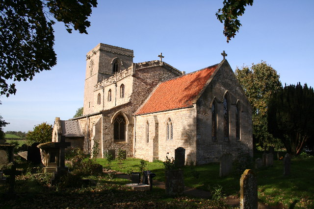
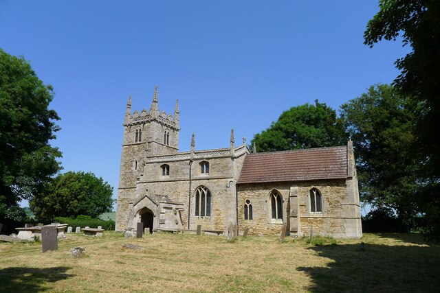
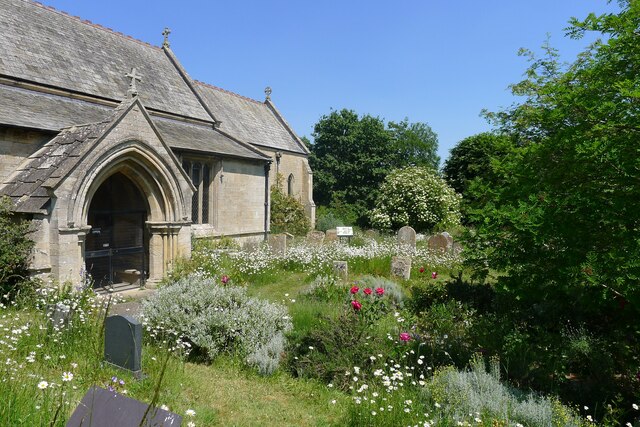
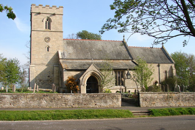
St Nicholas Church, Normanton

St Nicholas Church is a redundant Anglican church in Normanton-on-Cliffe, Lincolnshire, England. It is recorded in the National Heritage List for England...

Nearby Amenities

Located within 500m of 52.977115,-0.59080516
Honington
Is In: Lincolnshire, England, UK
Place: village
Lat/Long: 52.9774392/-0.5949147
Bus Stop
Post Office
Naptan AtcoCode: 270000008407
Naptan Bearing: S
Naptan CommonName: Post Office
Naptan Indicator: SE - bound
Naptan Landmark: Post Office
Naptan NaptanCode: lingpwgd
Naptan Street: Main Street
Naptan Verified: no
Source: naptan_import
Lat/Long: 52.9769797/-0.5949813
Bus Stop
Post Office
Naptan AtcoCode: 2700LHP01462
Naptan Bearing: N
Naptan CommonName: Post Office
Naptan Indicator: N - bound
Naptan Landmark: Post Office
Naptan NaptanCode: linajwjm
Naptan Street: Main Street
Naptan Verified: no
Source: naptan_import
Lat/Long: 52.9770708/-0.5950826
Hall Farm
Historic Place: farm
Source: Bing
Lat/Long: 52.9779628/-0.5965314
Generator Method: photovoltaic
Generator Output Electricity: yes
Generator Source: solar
Generator Type: solar_photovoltaic_panel
Location: roof
Power: generator
Lat/Long: 52.9790681/-0.5963456
Generator Method: photovoltaic
Generator Output Electricity: yes
Generator Source: solar
Generator Type: solar_photovoltaic_panel
Location: roof
Power: generator
Lat/Long: 52.9782994/-0.5949294
Generator Method: photovoltaic
Generator Output Electricity: yes
Generator Source: solar
Generator Type: solar_photovoltaic_panel
Location: roof
Power: generator
Lat/Long: 52.9778375/-0.5949482
Generator Method: photovoltaic
Generator Output Electricity: yes
Generator Source: solar
Generator Type: solar_photovoltaic_panel
Location: roof
Power: generator
Lat/Long: 52.9777648/-0.5948382
Generator Method: photovoltaic
Generator Output Electricity: yes
Generator Source: solar
Generator Type: solar_photovoltaic_panel
Location: roof
Power: generator
Lat/Long: 52.9768523/-0.5945405
Generator Method: photovoltaic
Generator Output Electricity: yes
Generator Source: solar
Generator Type: solar_photovoltaic_panel
Location: roof
Power: generator
Lat/Long: 52.9764251/-0.5945177
Generator Method: photovoltaic
Generator Output Electricity: yes
Generator Source: solar
Generator Type: solar_photovoltaic_panel
Location: roof
Power: generator
Lat/Long: 52.9765527/-0.594511
Generator Method: photovoltaic
Generator Output Electricity: yes
Generator Source: solar
Generator Type: solar_photovoltaic_panel
Location: roof
Power: generator
Lat/Long: 52.9765753/-0.5946921
Generator Method: photovoltaic
Generator Output Electricity: yes
Generator Source: solar
Generator Type: solar_photovoltaic_panel
Location: roof
Power: generator
Lat/Long: 52.9754895/-0.5967969
Generator Method: photovoltaic
Generator Output Electricity: yes
Generator Source: solar
Generator Type: solar_photovoltaic_panel
Location: roof
Power: generator
Lat/Long: 52.9753409/-0.5967969
Kindergarten
The Old School Nursery
Addr City: Honington
Addr Housename: Dappledown House
Addr Postcode: NG32 2PG
Addr Street: Main Street
Fhrs Authority: South Kesteven
Fhrs Id: 238855
Fhrs Local Authority Id: 7394
Lat/Long: 52.9775647/-0.595724
The data included in this document is from www.openstreetmap.org. The data is made available under ODbL.

Have you been to Calf Close Plantation?

Leave your review of Calf Close Plantation below (or comments, questions and feedback).