Chestnut Wood
Wood, Forest in Hertfordshire Dacorum
England
Chestnut Wood
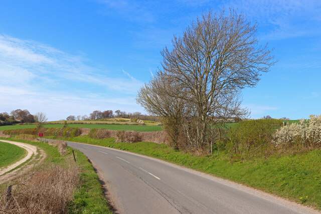
Chestnut Wood is a picturesque forest located in the county of Hertfordshire, in the southeastern part of England. Covering an area of approximately 100 acres, this woodland is renowned for its natural beauty and abundance of chestnut trees, which give the wood its name.
The wood is primarily composed of sweet chestnut trees, which are native to the region and have been cultivated here for centuries. These trees can grow up to 30 meters in height and have distinctive, deeply furrowed bark. In the autumn, the wood is transformed into a spectacular display of warm hues as the chestnut leaves turn shades of red, orange, and gold.
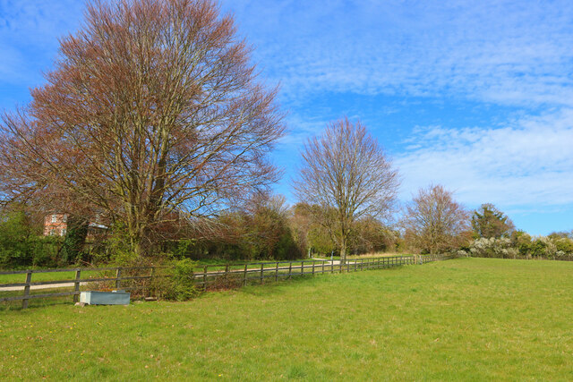
Chestnut Wood offers a haven for wildlife, with a diverse range of flora and fauna. The forest is home to a variety of bird species, including woodpeckers and owls, which can often be heard calling in the treetops. The woodland floor is carpeted with wildflowers and ferns, providing habitat for insects and small mammals.
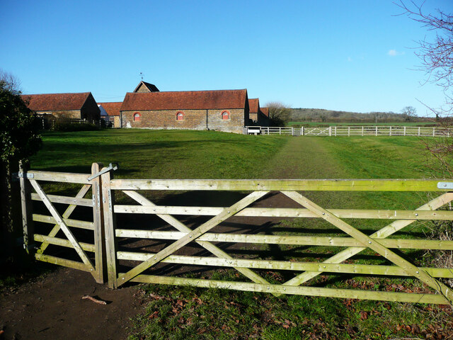
Visitors to Chestnut Wood can enjoy a range of recreational activities. There are several well-marked trails that wind through the forest, offering pleasant walks and opportunities for bird watching. The wood is also a popular destination for picnics, with designated areas providing picnic tables and benches.
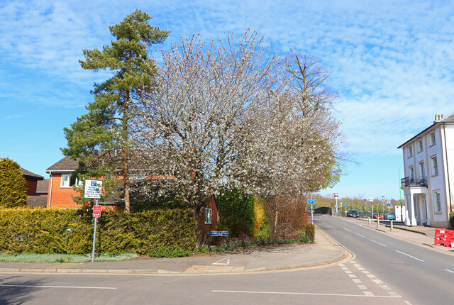
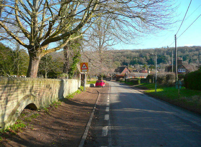
Chestnut Wood is easily accessible, located just a short distance from the village of Hertfordshire. It offers a peaceful retreat from the hustle and bustle of city life and provides an opportunity to connect with nature in a tranquil setting.
If you have any feedback on the listing, please let us know in the comments section below.
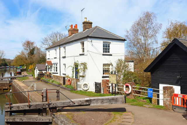
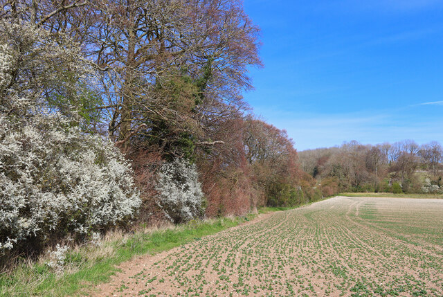
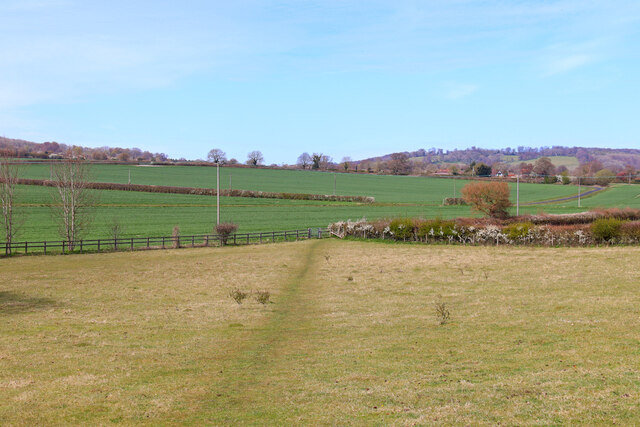
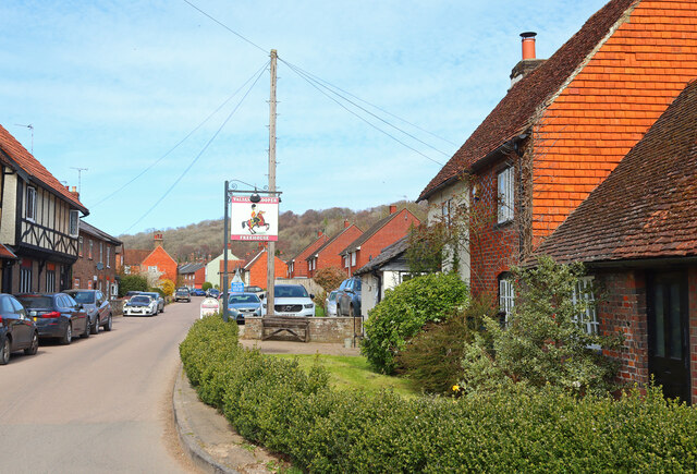
Chestnut Wood Images
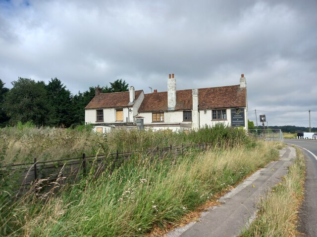
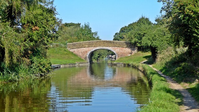
Images are sourced within 2km of 51.794963/-0.63054741 or Grid Reference SP9411. Thanks to Geograph Open Source API. All images are credited.


![Spiderlings (Araneus diadematus) This clutch of newly hatched baby spiders (known as &quot;spiderlings&quot;) were clinging to a web on one of our water butts. I believe they are one of the many Orb Web/Weaver spider species in the genus Araneus, most probably Araneus diadematus which has several English names, notably European garden spider, diadem spider, cross spider and crowned orb weaver. To give a sense of scale the total area covered by this cluster was perhaps a little bigger than a £2 coin. A few minutes later however they had clumped themselves together into a far tighter bunch - see <a href="https://www.geograph.org.uk/photo/7186343">SP9211 : Spiderlings (Araneus diadematus) - in a bunch</a>
If any arachnologists out there would like to confirm or dispute my identification, I would be more than pleased to hear from you!
[Update 1st June] All the spiderlings have now disappeared without trace, whether they have dispersed to become solo spiders - or have been predated upon I have no idea.
This <a title="https://www.geograph.org.uk/search.php?i=158115048" href="https://www.geograph.org.uk/search.php?i=158115048">Link</a> will bring up a selection of other Geograph images of Araneus diadematus, mostly adults.](https://s1.geograph.org.uk/geophotos/07/18/46/7184613_b51c01f0.jpg)
![Spiderlings (Araneus diadematus) - in a bunch A few minutes after taking <a href="https://www.geograph.org.uk/photo/7184613">SP9211 : Spiderlings (Araneus diadematus)</a> the mass of little spiderlings had grouped themselves tightly together forming a little blob no bigger than a £1 coin. The little fellow top left looks to be the last one to join the scrum!
See the linked photo above for more information on these baby spiders.
[Update 1st June] All the spiderlings have now disappeared without trace, whether they have dispersed to become solo spiders - or have been predated upon I have no idea.
This <a title="https://www.geograph.org.uk/search.php?i=158115048" href="https://www.geograph.org.uk/search.php?i=158115048">Link</a> will bring up a selection of other Geograph images of Araneus diadematus, mostly adults.](https://s3.geograph.org.uk/geophotos/07/18/63/7186343_d4fff077.jpg)
Chestnut Wood is located at Grid Ref: SP9411 (Lat: 51.794963, Lng: -0.63054741)
Administrative County: Hertfordshire
District: Dacorum
Police Authority: Hertfordshire
What 3 Words
///depend.illogical.dined. Near Tring, Hertfordshire
Nearby Locations
Related Wikis
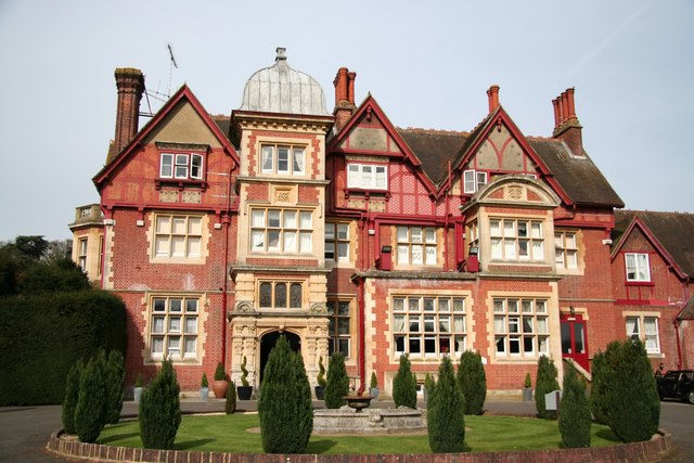
Pendley Manor
Pendley Manor is a hotel, conference and function centre near Tring, Hertfordshire, UK. It is a historic country house and is Grade II listed as an important...

Court Theatre (Pendley Tring)
The Court Theatre is a small theatre located in a Victorian building on the edge of the Pendley Manor estate at Tring in Hertfordshire, UK. The building...
Tring Athletic F.C.
Tring Athletic Football Club are an English football club based in Tring, Hertfordshire. The club are currently members of the Spartan South Midlands League...

Wigginton, Hertfordshire
Wigginton (Wigentone - 1086) is a large village and civil parish running north–south and perched at 730 ft (220 m) on the edge of the Chiltern Hills and...
Tring Park Cricket Club Ground
Tring Park Cricket Club Ground currently known as London Road is a cricket ground in Tring, Hertfordshire. Tring Park Cricket Club have played on the...
Tring School
Tring School is a secondary school with academy status, with approximately 1,500 students aged between 11 and 18. It is located on Mortimer Hill on the...
Tring Park School for the Performing Arts
Tring Park School or Tring Park School for the Performing Arts is an independent co-educational day and boarding school in Tring, Hertfordshire, England...

Cow Roast
Cow Roast (sometimes written as Cowroast) is a hamlet within the civil parishes of Northchurch and Wigginton in Hertfordshire, England. It is between Tring...
Nearby Amenities
Located within 500m of 51.794963,-0.63054741Have you been to Chestnut Wood?
Leave your review of Chestnut Wood below (or comments, questions and feedback).