Alma Wood

Wood, Forest in Lincolnshire South Kesteven

England

Alma Wood

Belmount Tower Part of the Belton House estate.
Belmount Tower Credit: Richard Thomas

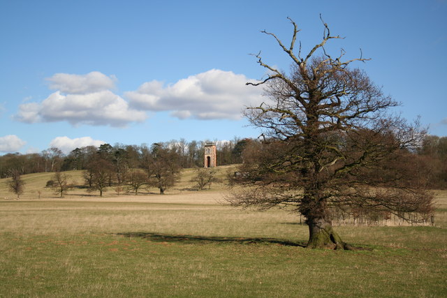
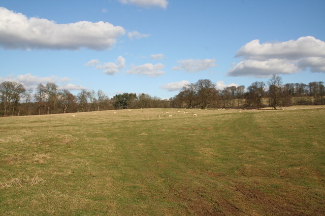
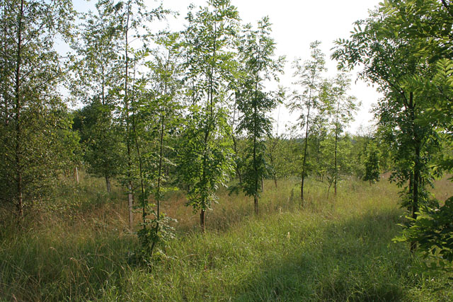
Alma Wood is a picturesque forest located in the county of Lincolnshire, England. Covering an area of approximately 100 acres, it is a popular destination for nature enthusiasts and outdoor adventurers. The forest is situated near the village of Woodhall Spa, adding to its charm and accessibility.

Alma Wood is characterized by its dense vegetation, consisting mainly of tall, mature trees such as oak, beech, and pine. These towering giants provide a serene and tranquil atmosphere, making it an ideal spot for peaceful walks and hikes. The forest floor is carpeted with a variety of wildflowers and ferns, further enhancing its natural beauty.

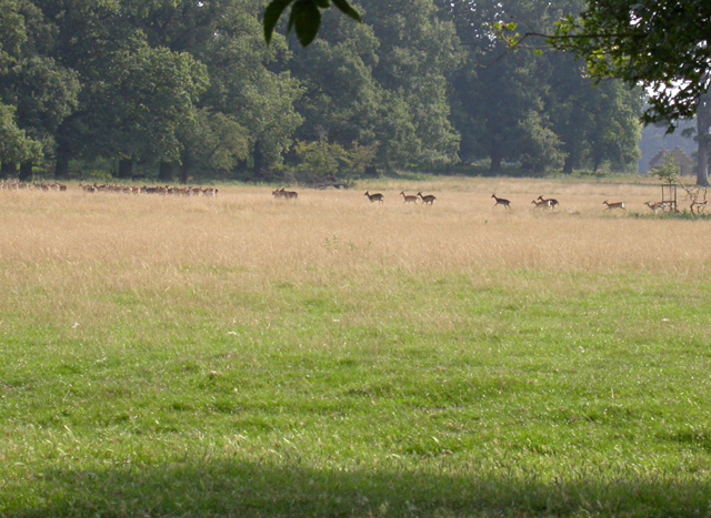
The wood is home to a diverse range of wildlife, including squirrels, rabbits, and a plethora of bird species. Birdwatchers are particularly drawn to Alma Wood for its abundance of feathered inhabitants, such as woodpeckers, owls, and jays. The forest also provides a habitat for several rare and endangered species, making it an important conservation area.

Visitors to Alma Wood can explore its network of well-maintained trails, which meander through the forest, offering stunning views and opportunities to observe the local flora and fauna. There are also designated picnic areas, where visitors can relax and enjoy a meal amidst the natural surroundings.

Alma Wood offers a peaceful escape from the hustle and bustle of everyday life, providing a chance to reconnect with nature and appreciate the beauty of the Lincolnshire countryside. With its rich biodiversity and stunning landscapes, it is a must-visit destination for nature lovers and anyone seeking a tranquil retreat.

If you have any feedback on the listing, please let us know in the comments section below.

Alma Wood Images

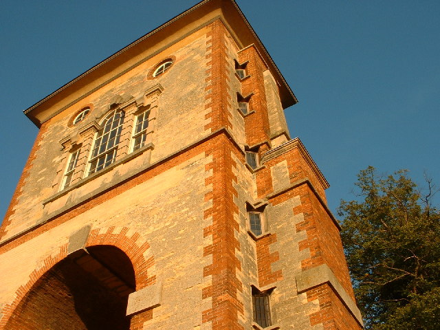
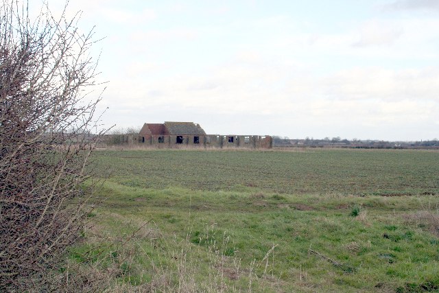
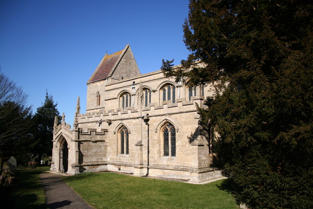
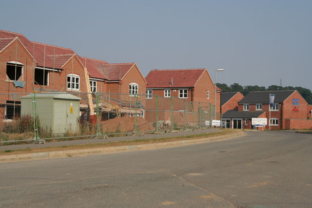
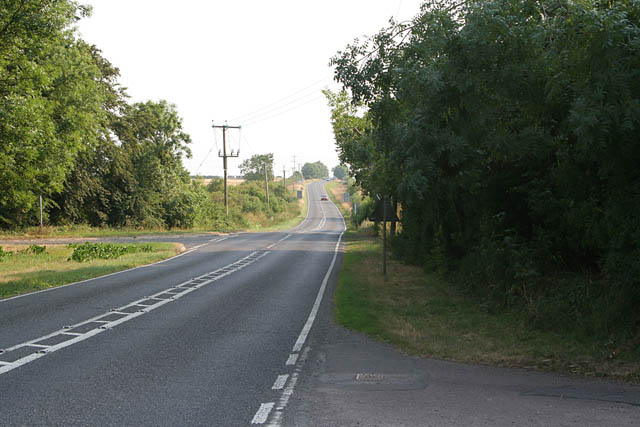
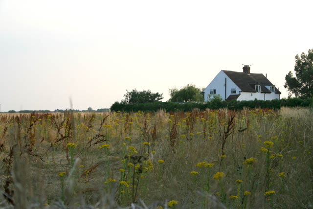
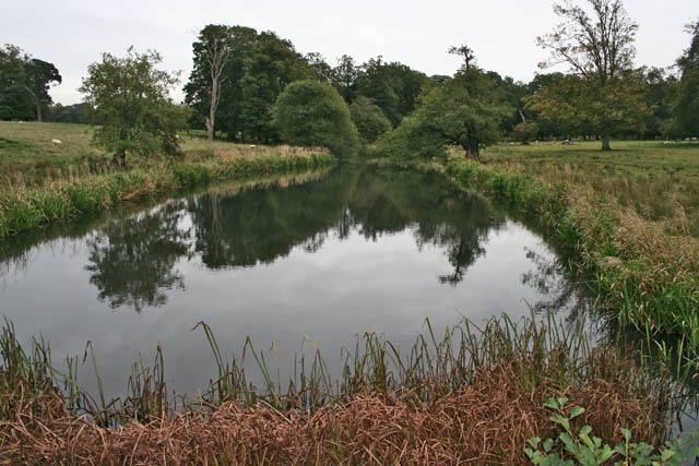
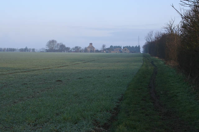
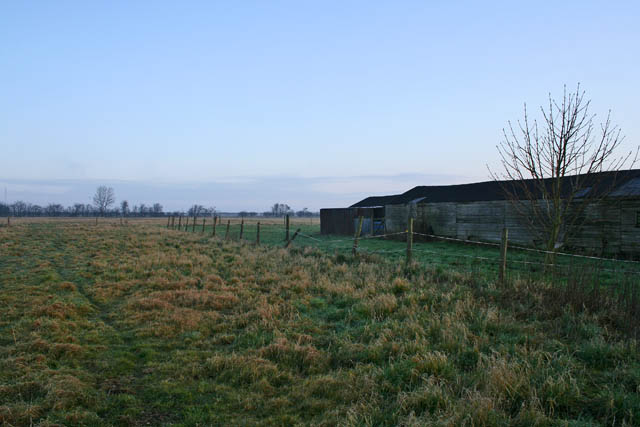
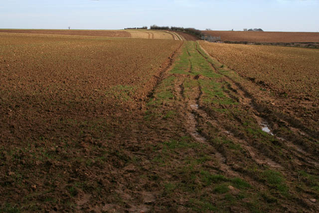
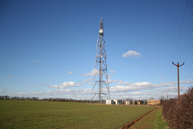
Images are sourced within 2km of 52.927218/-0.59513358 or Grid Reference SK9437. Thanks to Geograph Open Source API. All images are credited.

Belmount Tower Part of the Belton House estate.
Belmount Tower
Part of the Belton House estate.
Fallow Herd Deer Park at Belton
Fallow Herd
Deer Park at Belton
Old RAF building near Londonthorpe
St.John the Baptist's church, Londonthorpe, Lincs. A small and attractive hamlet with a fine church. Largely Early English and Decorated with a Perpendicular clerestorey and rare Victorian saddleback tower.
St.John the Baptist's church, Londonthorpe, Lincs.
A small and attractive hamlet with a fine church. Largely Early English and Decorated with a Perpendicular clerestorey and rare Victorian saddleback tower.
Londonthorpe estate cottages Belton Estate cottages in Londonthorpe dated 1849
Londonthorpe estate cottages
Belton Estate cottages in Londonthorpe dated 1849
Radio mast On the cliff between Harrowby and Londonthorpe
Radio mast
On the cliff between Harrowby and Londonthorpe
Church of the Ascension, Harrowby Modern church in housing estate
Church of the Ascension, Harrowby
Modern church in housing estate
Bellmount Tower Not really a tower, more of a tall arch with a venetian window above, built in 1750 as a folly in Belton Park.
Bellmount Tower
Not really a tower, more of a tall arch with a venetian window above, built in 1750 as a folly in Belton Park.
Belton Park Looking north towards the cliff with Bracken Plantation to the left
Belton Park
Looking north towards the cliff with Bracken Plantation to the left
New housing, off Londonthorpe Lane, Grantham
Londonthorpe Wood To the south of Londonthorpe Lane the woodland is mature but to the north the Woodlands Trust and Landlife have planted mixed ash, birch and oak with wild flower undergrowth.
Londonthorpe Wood
To the south of Londonthorpe Lane the woodland is mature but to the north the Woodlands Trust and Landlife have planted mixed ash, birch and oak with wild flower undergrowth.
B6403 looking towards Colsterworth Ermine Street, the Roman road from London to York, is also called High Dyke along this stretch.
B6403 looking towards Colsterworth
Ermine Street, the Roman road from London to York, is also called High Dyke along this stretch.
Pyewipe Cottages On Ermine Street: the only buildings in this square.
Pyewipe Cottages
On Ermine Street: the only buildings in this square.
Cottage on Harrowby Lane The field here has a wide margin of indigenous flowering plants.
Cottage on Harrowby Lane
The field here has a wide margin of indigenous flowering plants.
East Towthorpe Hollow Pond, Belton Park Looking towards Villa Pond in <a href="https://www.geograph.org.uk/gridref/SK9338">SK9338</a> and Belton Park Golf Course in <a href="https://www.geograph.org.uk/gridref/SK9337">SK9337</a>.
East Towthorpe Hollow Pond, Belton Park
Looking towards Villa Pond in SK9338 and Belton Park Golf Course in SK9337.
Farmland off Turnor Road Heath Farm in the distance with the early morning sun struggling to burn off the mist.
Farmland off Turnor Road
Heath Farm in the distance with the early morning sun struggling to burn off the mist.
Farmland off Turnor Road Looking northwards  from Turnor Road towards Harrowby Lane in <a href="https://www.geograph.org.uk/gridref/SK9436">SK9436</a> which runs along the horizon.
Farmland off Turnor Road
Looking northwards from Turnor Road towards Harrowby Lane in SK9436 which runs along the horizon.
Farmland near Bellmount Tower Looking along a rough farm track across farmland from the edge of the National Trust's Belton Estate.
Farmland near Bellmount Tower
Looking along a rough farm track across farmland from the edge of the National Trust's Belton Estate.
Show me another place!

Alma Wood is located at Grid Ref: SK9437 (Lat: 52.927218, Lng: -0.59513358)

Administrative County: Lincolnshire

District: South Kesteven

Police Authority: Lincolnshire

What 3 Words

///brings.humans.increment. Near Grantham, Lincolnshire

Nearby Locations

Alma Wood

Related Wikis

RAF Belton Park

RAF Belton Park was established in 1942 as the Royal Air Force Regiment Depot, for training RAF Regiment personnel in airfield defence. Belton Park is...

Londonthorpe

Londonthorpe is a village in the civil parish of Londonthorpe and Harrowby Without, in South Kesteven district of Lincolnshire, England. It lies 3 miles...

Londonthorpe and Harrowby Without

Londonthorpe and Harrowby Without is a civil parish in the South Kesteven district of Lincolnshire, England. According to the 2001 Census it had a population...

Harrowby, Lincolnshire

Harrowby is a hamlet in the South Kesteven district of Lincolnshire, England. It lies 2 miles (3 km) east of the market town of Grantham. Harrowby was...

Nearby Amenities

Located within 500m of 52.927218,-0.59513358
Power: tower
Lat/Long: 52.9241112/-0.5900965
Power: tower
Lat/Long: 52.9263362/-0.5924247
Power: pole
Lat/Long: 52.9244152/-0.5896888
Power: pole
Lat/Long: 52.9238266/-0.592017
Power: pole
Lat/Long: 52.9231927/-0.5943451
Power: tower
Lat/Long: 52.926778/-0.6000897
Power: tower
Lat/Long: 52.9273887/-0.5961373
Power: pole
Lat/Long: 52.9256006/-0.5885091
Power: pole
Lat/Long: 52.926521/-0.5881282
Power: pole
Lat/Long: 52.9274597/-0.5877609
Man Made: tower
Tower Type: communication
Lat/Long: 52.9250507/-0.6013256
The data included in this document is from www.openstreetmap.org. The data is made available under ODbL.

Have you been to Alma Wood?

Leave your review of Alma Wood below (or comments, questions and feedback).