Birch Copse
Wood, Forest in Surrey Waverley
England
Birch Copse

Birch Copse is a picturesque woodland located in the county of Surrey, England. Spanning an area of approximately 50 acres, it is a haven for nature enthusiasts and a popular destination for outdoor activities. The copse is situated on the outskirts of a small village, surrounded by rolling hills and meadows.
As its name suggests, Birch Copse is predominantly populated by birch trees, which create a stunning landscape with their slender trunks and delicate foliage. The woodland is also home to a diverse range of other tree species, including oak, beech, and hazel, which further contribute to its rich biodiversity.
The copse is crisscrossed by a network of well-maintained footpaths, allowing visitors to explore its beauty at their leisure. These paths meander through the forest, leading to hidden clearings and tranquil ponds. The copse is also intersected by a small stream, adding to its charm and providing a habitat for various aquatic species.
Birch Copse is teeming with wildlife, making it a haven for nature lovers and birdwatchers. The woodland is inhabited by a wide variety of bird species, including woodpeckers, nuthatches, and warblers. Additionally, small mammals such as squirrels and rabbits can often be spotted darting through the undergrowth.
The copse is not only a place of natural beauty but also serves as an important recreational space for the local community. It offers opportunities for activities such as hiking, picnicking, and photography. With its peaceful atmosphere and breathtaking scenery, Birch Copse is a true gem of Surrey, providing a welcome escape from the hustle and bustle of everyday life.
If you have any feedback on the listing, please let us know in the comments section below.
Birch Copse Images
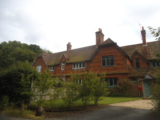
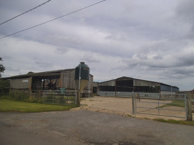
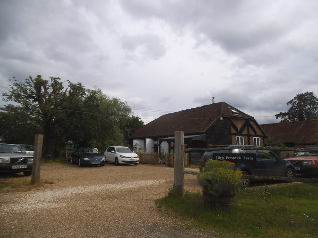
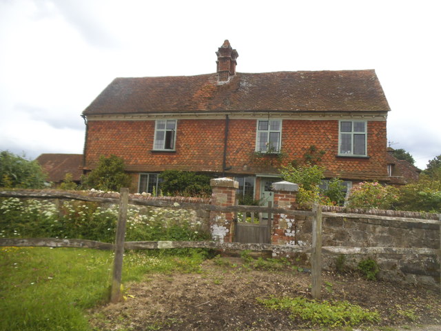
Images are sourced within 2km of 51.104041/-0.65189036 or Grid Reference SU9434. Thanks to Geograph Open Source API. All images are credited.


Birch Copse is located at Grid Ref: SU9434 (Lat: 51.104041, Lng: -0.65189036)
Administrative County: Surrey
District: Waverley
Police Authority: Surrey
What 3 Words
///propelled.destiny.intestine. Near Chiddingfold, Surrey
Nearby Locations
Related Wikis

Netherside Stream Outcrops
Netherside Stream Outcrops is a 2.9-hectare (7.2-acre) geological Site of Special Scientific Interest north-east of Haslemere in Surrey. It is a Geological...

Ramsnest Common
Ramsnest Common is a hamlet in the far south of the Borough of Waverley, the largest district of Surrey, England centred on the A283 1.5 miles (2.4 km...

Ramster
Ramster Garden is an open garden, near Chiddingfold, Surrey, covering over 20 acres (81,000 m2). First landscaped and laid out in the 1890s by Gauntlett...

Chiddingfold
Chiddingfold is a village and civil parish in the Weald in the Waverley district of Surrey, England. It lies on the A283 road between Milford and Petworth...

St Teresa of Avila Church, Chiddingfold
St Teresa of Avila Church is a Roman Catholic Parish church in Chiddingfold, Surrey. It is situated on the corner of Petworth Road and Woodside Road in...

Pickhurst
Pickhurst is a grade II* listed house set in 130 acres (53 ha) of land near Chiddingfold, Surrey, England. == History == It was designed by the Scottish...

All Saints' Church, Grayswood
All Saints' Church is an active parish church in the village of Grayswood, Surrey, England. The church stands in the centre of the village and was built...

Shillinglee
Shillinglee is an 18th-century house and estate in West Sussex, England near the Surrey border, in between the villages of Chiddingfold and Plaistow. It...
Nearby Amenities
Located within 500m of 51.104041,-0.65189036Have you been to Birch Copse?
Leave your review of Birch Copse below (or comments, questions and feedback).