Hookstone Green

Wood, Forest in Surrey Surrey Heath

England

Hookstone Green

Brook Place Grade II* listed building.
Brook Place Credit: JThomas

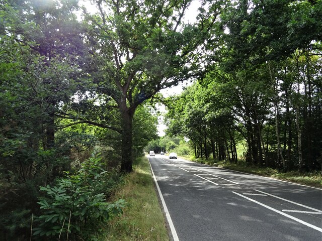
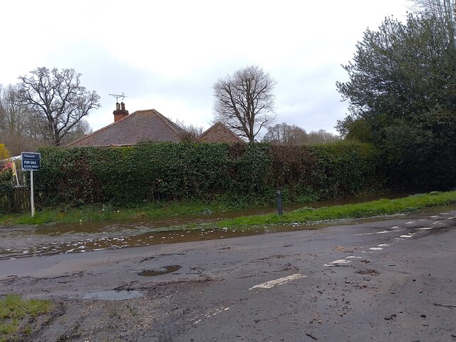
Hookstone Green is a picturesque village located in the county of Surrey, England. Nestled amidst lush greenery, Hookstone Green is known for its pristine woodlands and enchanting forests. The village is situated in the heart of Surrey, offering its residents and visitors a tranquil and idyllic escape from the bustling city life.

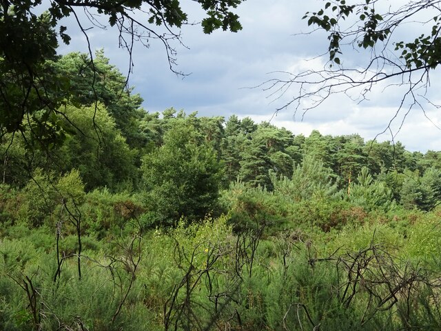
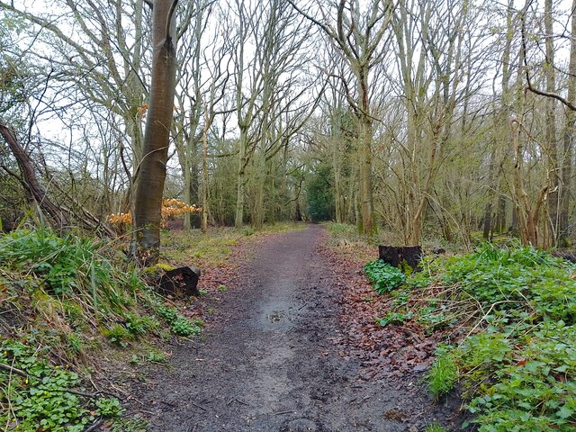
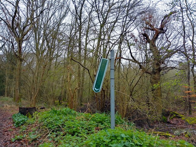
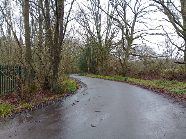
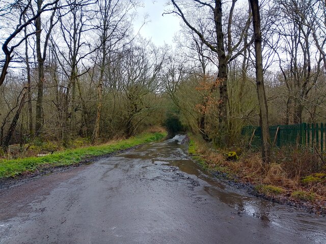
The woodlands in Hookstone Green are a significant feature of the village, providing a haven for nature enthusiasts and wildlife admirers. The dense canopy of trees creates a serene atmosphere and offers a plethora of recreational activities such as hiking, walking trails, and birdwatching. The woods are home to a diverse range of flora and fauna, including ancient trees, wildflowers, and various species of birds and animals.

The forests in Hookstone Green are equally captivating, with their towering trees and rich biodiversity. These forests provide a habitat for numerous wildlife species, including deer, foxes, and squirrels. The tranquil paths winding through the forest offer a peaceful retreat for those seeking solitude or a scenic spot for family picnics and gatherings.

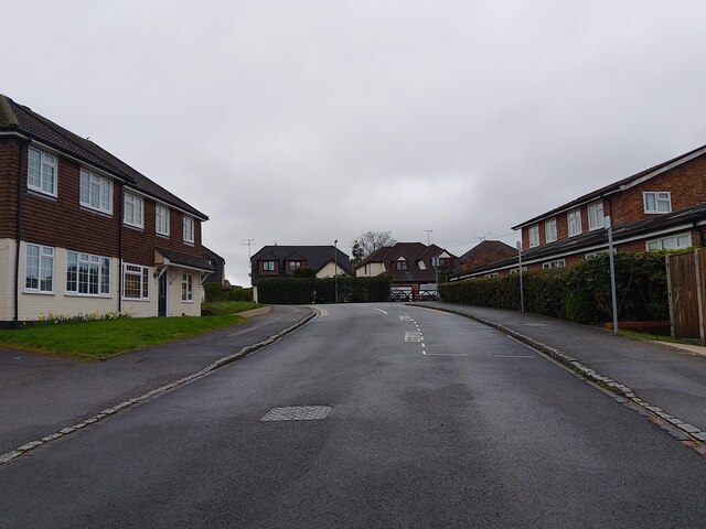
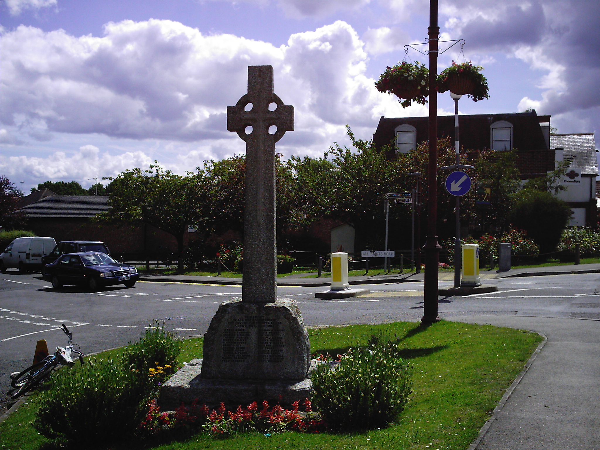
In addition to its natural beauty, Hookstone Green also boasts a close-knit community. The village is characterized by charming cottages, well-maintained gardens, and a sense of community spirit. Residents enjoy a range of amenities, including a village hall, a local pub, and a community center that hosts various events throughout the year.

Hookstone Green, with its woodlands and forests, offers a harmonious blend of natural beauty and community spirit. It is a place where residents and visitors can immerse themselves in the tranquility of nature while enjoying the warmth and camaraderie of a close-knit village community.

If you have any feedback on the listing, please let us know in the comments section below.

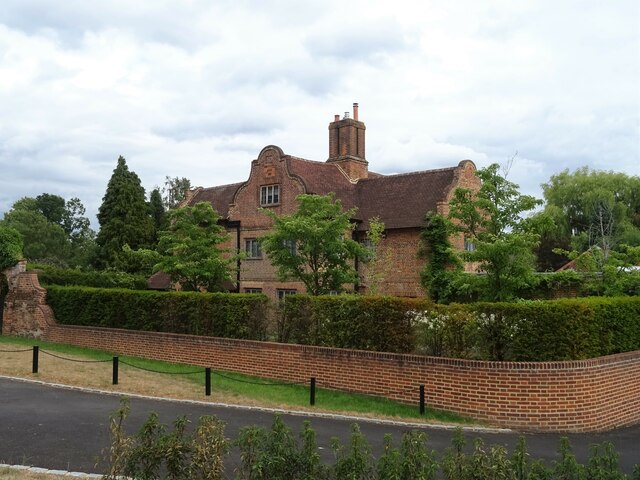
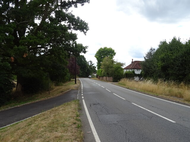
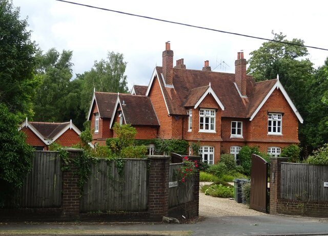
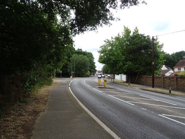
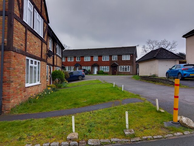
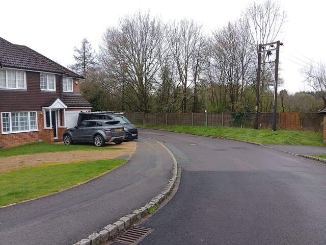
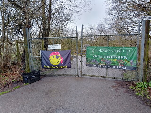
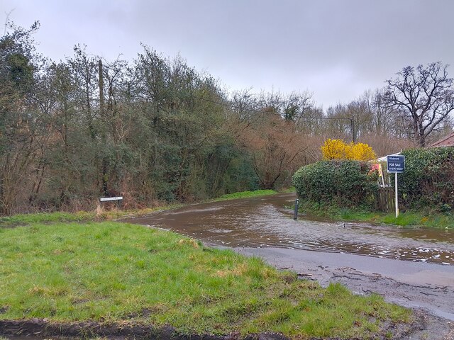
Hookstone Green Images

Images are sourced within 2km of 51.346908/-0.64481984 or Grid Reference SU9461. Thanks to Geograph Open Source API. All images are credited.

Brook Place Grade II* listed building.
Brook Place
Grade II* listed building.
Bagshot Road (A319) Looking west.
Bagshot Road (A319)
Looking west.
Mulberry House On Bagshot Road.
Mulberry House
On Bagshot Road.
Bagshot Road (A319)
Bagshot Road (A319)
Woodland, Turf Hill
Woodland, Turf Hill
Red Road (B311) Looking west.
Red Road (B311)
Looking west.
Elizabeth II postbox on Bagshot Road, West End Postbox No. GU24 6.
Elizabeth II postbox on Bagshot Road, West End
Postbox No. GU24 6.
Christie Close A cul-de-sac off All Saints Road. To the right is Lightwater Surgery.
Christie Close
A cul-de-sac off All Saints Road. To the right is Lightwater Surgery.
Houses on Christie Close Houses on Christie Close, set back from the road along a drive.
Houses on Christie Close
Houses on Christie Close, set back from the road along a drive.
Lightwater Surgery car park entrance The entrance to the car park for Lightwater Surgery, off Christie Close.
Lightwater Surgery car park entrance
The entrance to the car park for Lightwater Surgery, off Christie Close.
Christie Close A cul-de-sac off All Saints Road. Behind the fence is the Lightwater By-pass (A322).
Christie Close
A cul-de-sac off All Saints Road. Behind the fence is the Lightwater By-pass (A322).
Banners on wire gates Banners on the gates of W. Godfrey & Sons Ltd, a wholesale nursery.

The banner to the left reads "Have a Nice Day, Matey!" with a smiley face styled in a pirate bandana and eye patch. The banner to the right reads "W. GODFREY & SONS LTD
EST. 1921
WHOLESALE HERBACEOUS GROWERS
Celebrating our colourful 100th year!"
Banners on wire gates
Banners on the gates of W. Godfrey & Sons Ltd, a wholesale nursery. The banner to the left reads "Have a Nice Day, Matey!" with a smiley face styled in a pirate bandana and eye patch. The banner to the right reads "W. GODFREY & SONS LTD EST. 1921 WHOLESALE HERBACEOUS GROWERS Celebrating our colourful 100th year!"
Flooding on Burnt Pollard Lane The small stream that usually runs beside Burnt Pollard Lane has burst its banks with the heavy rain this week and is causing a 'river' to form along the lane. Perhaps not the best time to be trying to sell your house!
Flooding on Burnt Pollard Lane
The small stream that usually runs beside Burnt Pollard Lane has burst its banks with the heavy rain this week and is causing a 'river' to form along the lane. Perhaps not the best time to be trying to sell your house!
Flooding on Hook Mill Lane The small stream that usually runs beside Hook Mill Lane and down Burnt Pollard Lane has burst its banks with the heavy rain this week and is causing a 'river' to form along the Burnt Pollard Lane <a href="https://www.geograph.org.uk/photo/7445334">SU9462 : Flooding on Burnt Pollard Lane</a>. Perhaps not the best time to be trying to sell your house!
Flooding on Hook Mill Lane
The small stream that usually runs beside Hook Mill Lane and down Burnt Pollard Lane has burst its banks with the heavy rain this week and is causing a 'river' to form along the Burnt Pollard Lane SU9462 : Flooding on Burnt Pollard Lane. Perhaps not the best time to be trying to sell your house!
Bridleway off Rye Grove A bridleway from the corner of Rye Grove, through the woodland, leading to Halebourne Lane.
Bridleway off Rye Grove
A bridleway from the corner of Rye Grove, through the woodland, leading to Halebourne Lane.
Pointing at the ground A sign showing the route of the public bridleway off Rye Grove has broken, and now points to some nettles.
Pointing at the ground
A sign showing the route of the public bridleway off Rye Grove has broken, and now points to some nettles.
Rye Grove A tight corner on Rye Grove, a road between Woodlands Lane and a godcake at Hookmill Lane and Burnt Pollard Lane.
Rye Grove
A tight corner on Rye Grove, a road between Woodlands Lane and a godcake at Hookmill Lane and Burnt Pollard Lane.
Flooding on Rye Grove Heavy rain has caused a stream to burst its banks and use Rye Grove as its route instead.
Flooding on Rye Grove
Heavy rain has caused a stream to burst its banks and use Rye Grove as its route instead.
Show me another place!

Hookstone Green is located at Grid Ref: SU9461 (Lat: 51.346908, Lng: -0.64481984)

Administrative County: Surrey

District: Surrey Heath

Police Authority: Surrey

What 3 Words

///format.fried.common. Near Lightwater, Surrey

Related Wikis

Gordon's School

Gordon's School is a secondary school with academy status in West End near Woking, Surrey, England. It was founded as the Gordon Boys' Home in 1885. It...

West End, Surrey

West End is a village and civil parish in Surrey Heath, Surrey, England, approximately 25 miles (40 km) southwest of central London. It is midway between...

Brentmoor Heath

Brentmoor Heath is a 28.6-hectare (71-acre) Local Nature Reserve east of Camberley in Surrey. It is part of Brentmoor Heath and Folly Bog nature reserve...

Lightwater

Lightwater is a village in the Surrey Heath district of Surrey, England, about 27 miles (43 km) southwest of central London. Immediately surrounding towns...

Windlesham

Windlesham is a village in the Surrey Heath borough of Surrey, England, approximately 25 miles (40 km) south west of central London. Its name derives from...

Bisley, Surrey

Bisley is a village and civil parish in the Borough of Surrey Heath in Surrey, England, approximately 25 miles (40 km) southwest of central London. It...

Windlesham Arboretum

Windlesham Arboretum is between the villages of Windlesham and Lightwater in Surrey, United Kingdom, just south of Junction 3 on the M3. The arboretum...

The Flashes

The Flashes is a 115.1-hectare (284-acre) Local Nature Reserve west of Godalming in Surrey. It is owned by the National Trust and managed by Waverley...

Nearby Amenities

Located within 500m of 51.346908,-0.64481984
Power: tower
Lat/Long: 51.3467333/-0.6509758
Power: tower
Lat/Long: 51.3488141/-0.6467361
Power: tower
Lat/Long: 51.3508156/-0.6419418
Bus Stop
The Gordon School
Addr Street: Guildford Road
Bench: no
Bin: no
Naptan AtcoCode: 40004403048A
Naptan Bearing: SE
Naptan CommonName: The Gordon School
Naptan Indicator: O/s
Naptan Landmark: Gordon School
Naptan NaptanCode: surgagag
Naptan Street: Guildford Road
Naptan Verified: no
Public Transport: platform
Shelter: no
Source: naptan_import
Wheelchair: yes
Wheelchair Description: Step-free to stop on opposite corner of roundabout via island refuges (no tactile surface.)
Lat/Long: 51.3434519/-0.6491216
Polling Station: 2010
Lat/Long: 51.3433086/-0.640824
Crossing
Crossing Island: yes
Kerb: lowered
Sloped Curb: yes
Source: Surrey Air Survey
Lat/Long: 51.3436703/-0.6496683
Crossing
Crossing Island: yes
Kerb: lowered
Sloped Curb: yes
Source: Surrey Air Survey
Lat/Long: 51.3441671/-0.6504907
Crossing
Crossing: unmarked
Crossing Island: yes
Kerb: lowered
Sloped Curb: yes
Source: Surrey Air Survey
Lat/Long: 51.3438629/-0.6496338
Crossing
Crossing: unmarked
Crossing Island: yes
Kerb: lowered
Sloped Curb: yes
Source: Surrey Air Survey
Tactile Paving: no
Lat/Long: 51.3439428/-0.649694
Crossing
Crossing: unmarked
Crossing Island: no
Kerb: lowered
Sloped Curb: yes
Source: Surrey Air Survey
Tactile Paving: no
Lat/Long: 51.3440952/-0.644388
Crossing
Crossing Island: yes
Kerb: lowered
Sloped Curb: yes
Lat/Long: 51.344472/-0.6416361
Crossing
Crossing Island: yes
Kerb: lowered
Sloped Curb: yes
Lat/Long: 51.3444599/-0.6416967
Crossing
Crossing: unmarked
Kerb: lowered
Sloped Curb: yes
Lat/Long: 51.344437/-0.6418273
Power: pole
Lat/Long: 51.3502047/-0.6419411
Power: pole
Lat/Long: 51.3496494/-0.6454951
Power: pole
Lat/Long: 51.3493428/-0.647437
Power: pole
Lat/Long: 51.3490564/-0.6491751
Building: house
Source: Esri
Lat/Long: 51.3465523/-0.6461261
Building: house
Source: Esri
Lat/Long: 51.3469822/-0.6466211
Building: house
Source: Esri
Lat/Long: 51.3473463/-0.6470324
The data included in this document is from www.openstreetmap.org. The data is made available under ODbL.

Have you been to Hookstone Green?

Leave your review of Hookstone Green below (or comments, questions and feedback).