The Warren

Wood, Forest in Northamptonshire

England

The Warren

Laxton Church The Church and surrounding buildings in the village of Laxton
Laxton Church Credit: Richard Thomas

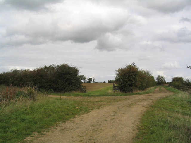
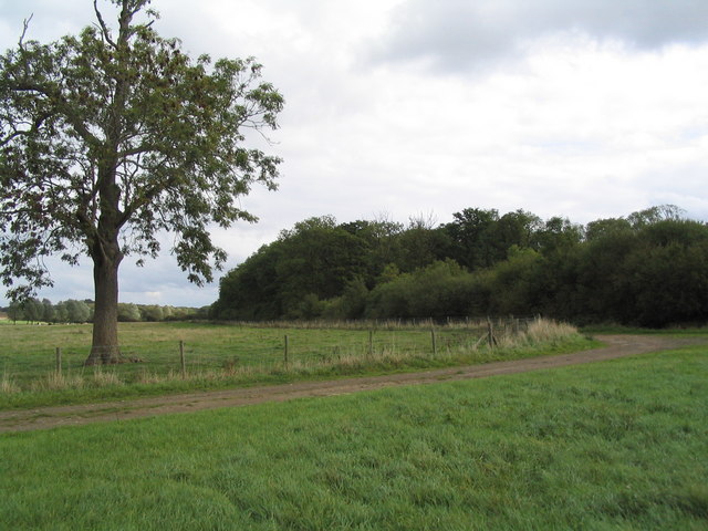
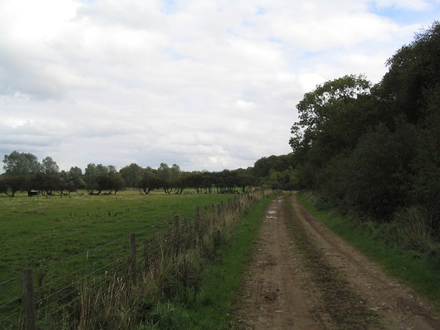
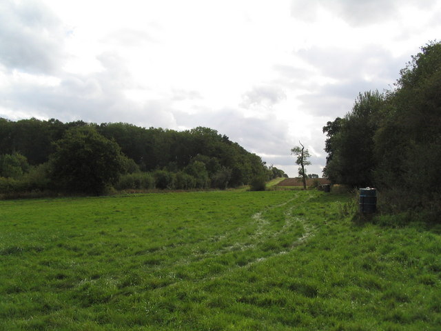
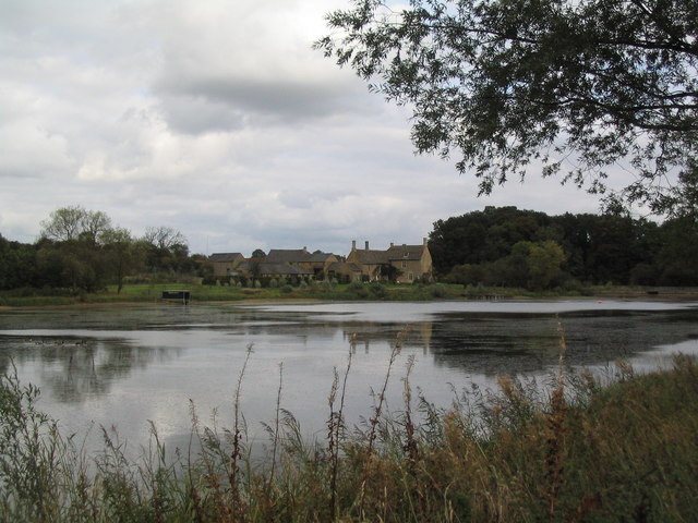
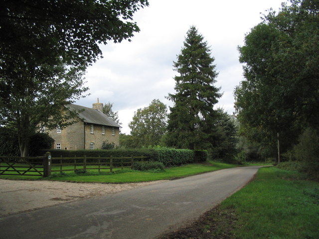
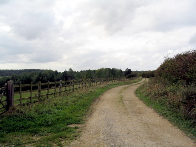
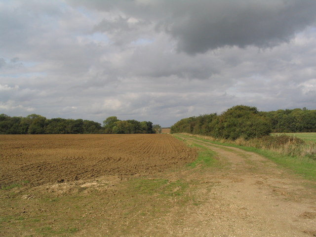
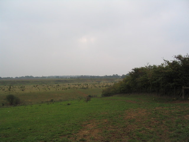
The Warren, located in Northamptonshire, is a picturesque woodland and forest area that offers a peaceful retreat from the bustling city life. Spanning across a vast expanse of land, The Warren is renowned for its natural beauty and diverse range of flora and fauna.

The woodland is characterized by a dense canopy of trees, including oak, beech, and birch, which provide a sheltered environment for a variety of wildlife species. Visitors can expect to encounter deer, foxes, rabbits, and a plethora of bird species, making it a haven for nature enthusiasts and photographers.

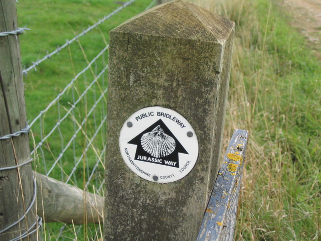
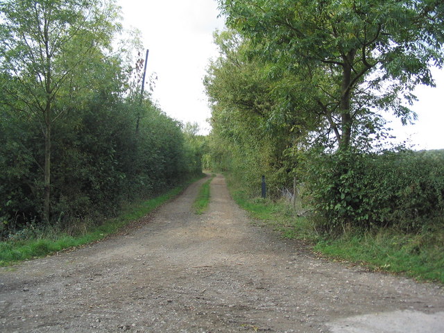
The Warren also boasts a network of walking trails and paths, allowing visitors to explore and immerse themselves in the stunning surroundings. The trails are well-maintained and vary in difficulty, catering to both novice and experienced hikers. Along the way, hikers are treated to breathtaking views of the forest, with sunlight filtering through the leaves and casting a dappled glow on the forest floor.

For those seeking a more tranquil experience, The Warren offers several picnic areas and benches where visitors can relax and enjoy the serenity of the surroundings. The peaceful ambiance and beauty of the forest make it a popular spot for families and couples looking to escape the city and reconnect with nature.

Overall, The Warren in Northamptonshire is a true gem for nature lovers, offering a diverse range of plant and animal life, scenic views, and a peaceful atmosphere that is sure to rejuvenate the soul.

If you have any feedback on the listing, please let us know in the comments section below.

The Warren Images

Images are sourced within 2km of 52.546718/-0.61541019 or Grid Reference SP9395. Thanks to Geograph Open Source API. All images are credited.

Laxton Church The Church and surrounding buildings in the village of Laxton
Laxton Church
The Church and surrounding buildings in the village of Laxton
Laxton Village Representative of the houses in Laxton, all stone built and to a classic design
Laxton Village
Representative of the houses in Laxton, all stone built and to a classic design
Track junction west of Harringworth Lodge The track to the left runs north-west to join a track south-west to Gretton. The tracks are part of an old network of ironstone railways, with the site of Harringworth sidings in the distance. See link <span class="nowrap"><a title="http://www.irsociety.co.uk/Archives/2/ironstone_tramways.htm" rel="nofollow ugc noopener" href="http://www.irsociety.co.uk/Archives/2/ironstone_tramways.htm">Link</a><img style="margin-left:2px;" alt="External link" title="External link - shift click to open in new window" src="https://s1.geograph.org.uk/img/external.png" width="10" height="10"/></span> (Thanks to Chris Lowe for this information)
Track junction west of Harringworth Lodge
The track to the left runs north-west to join a track south-west to Gretton. The tracks are part of an old network of ironstone railways, with the site of Harringworth sidings in the distance. See link LinkExternal link (Thanks to Chris Lowe for this information)
Edge of Hollow Wood
Edge of Hollow Wood
Jurassic Way running east along edge of Hollow Wood You only know this is the Jurassic Way because it is on the OS map. Don't expect to see many signs on the ground.
Jurassic Way running east along edge of Hollow Wood
You only know this is the Jurassic Way because it is on the OS map. Don't expect to see many signs on the ground.
Woodland gap The gap between Household Coppice (left) and Hollow Wood (right), view south from the Jurassic Way
Woodland gap
The gap between Household Coppice (left) and Hollow Wood (right), view south from the Jurassic Way
Hen's tooth Footpath signs in this area are rare
Hen's tooth
Footpath signs in this area are rare
Harringworth Lodge Viewed from the south-west over its lovely lake
Harringworth Lodge
Viewed from the south-west over its lovely lake
House on minor road from Deene to Harringworth
Entrance to lane The lane runs west, off the minor road between Deene and Harringworth. I'm not sure of its status, but the landowner who happened to be passing as I took this picture, said he was happy for cyclists to use it
Entrance to lane
The lane runs west, off the minor road between Deene and Harringworth. I'm not sure of its status, but the landowner who happened to be passing as I took this picture, said he was happy for cyclists to use it
Lane heading west past Geese Wood The 1940s OS map shows that there was once more extensive woodland on the south (left) side of the lane.
Lane heading west past Geese Wood
The 1940s OS map shows that there was once more extensive woodland on the south (left) side of the lane.
Woodland gap viewed from the south The short section of lane running west from the minor road between Deene and Harringworth <a href="https://www.geograph.org.uk/photo/256337">SP9394 : Entrance to lane</a> swings north through the gap between Hollow Wood (left) and Household Coppice (right) to join the Jurassic Way
Woodland gap viewed from the south
The short section of lane running west from the minor road between Deene and Harringworth SP9394 : Entrance to lane swings north through the gap between Hollow Wood (left) and Household Coppice (right) to join the Jurassic Way
Looking towards former quarry workings The low ground in the middle distance is marked as a quarry on my 1987 OS map, but no quarry is shown on the 1940s or on the current map
Looking towards former quarry workings
The low ground in the middle distance is marked as a quarry on my 1987 OS map, but no quarry is shown on the 1940s or on the current map
Cattle in disused quarry The former quarry has reverted to scrubby ground, and hosts cattle with rather mean-looking horns. What breed?
Cattle in disused quarry
The former quarry has reverted to scrubby ground, and hosts cattle with rather mean-looking horns. What breed?
Memorial at entrance to Spanhoe Airfield The airfield, still in use by light aircraft, was home to the US 315th Troop Carrier Group during the 1944-45 liberation of Europe
Memorial at entrance to Spanhoe Airfield
The airfield, still in use by light aircraft, was home to the US 315th Troop Carrier Group during the 1944-45 liberation of Europe
Abandoned jet at Spanhoe airfield
End of runway, Spanhoe airfield
Footpath towards Town Wood, Laxton The footpath runs through a narrow belt of woodland
Footpath towards Town Wood, Laxton
The footpath runs through a narrow belt of woodland
Show me another place!

The Warren is located at Grid Ref: SP9395 (Lat: 52.546718, Lng: -0.61541019)

Unitary Authority: North Northamptonshire

Police Authority: Northamptonshire

What 3 Words

///lessening.cello.spice. Near Seaton, Rutland

Nearby Locations

Lodge Pond The Warren

Related Wikis

Laxton, Northamptonshire

Laxton is a village in North Northamptonshire, seven miles (11 km) east of Corby and approximately one mile (1.6 km) west of the A43. At the time of the...

Bulwick

Bulwick is a village and civil parish in North Northamptonshire, England. According to the 2001 census it had a population of 152 people, including Blatherwycke...

RAF Spanhoe

Royal Air Force Spanhoe or more simply RAF Spanhoe (also known as Harringworth or Wakerley) is a former Royal Air Force station near Uppingham in Northamptonshire...

Bulwick Meadows

Bulwick Meadows is a 4.2-hectare (10-acre) biological Site of Special Scientific Interest in Bulwick, north-east of Corby in Northamptonshire.These marshy...

Nearby Amenities

Located within 500m of 52.546718,-0.61541019
The data included in this document is from www.openstreetmap.org. The data is made available under ODbL.

Have you been to The Warren?

Leave your review of The Warren below (or comments, questions and feedback).