Lodge Pond

Lake, Pool, Pond, Freshwater Marsh in Northamptonshire

England

Lodge Pond

Track junction, north-east of Gretton The main track continues down to the left. I'm not sure of the right-of-way status of these tracks; but some sections are 'Permitted Path'. They are good for cycling.
Track junction, north-east of Gretton Credit: Tim Heaton

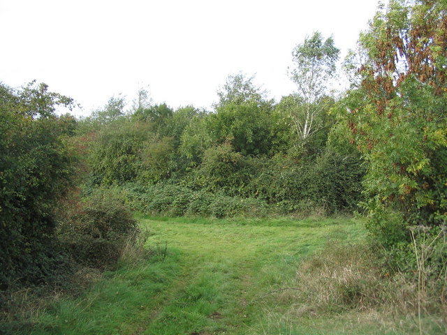
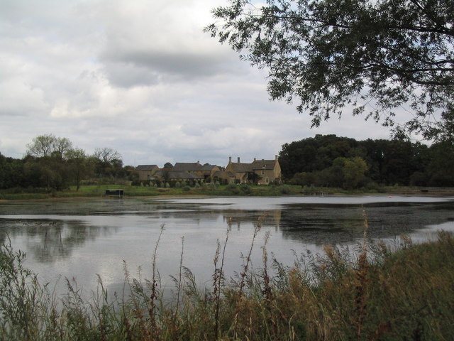
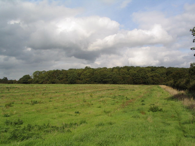
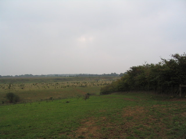
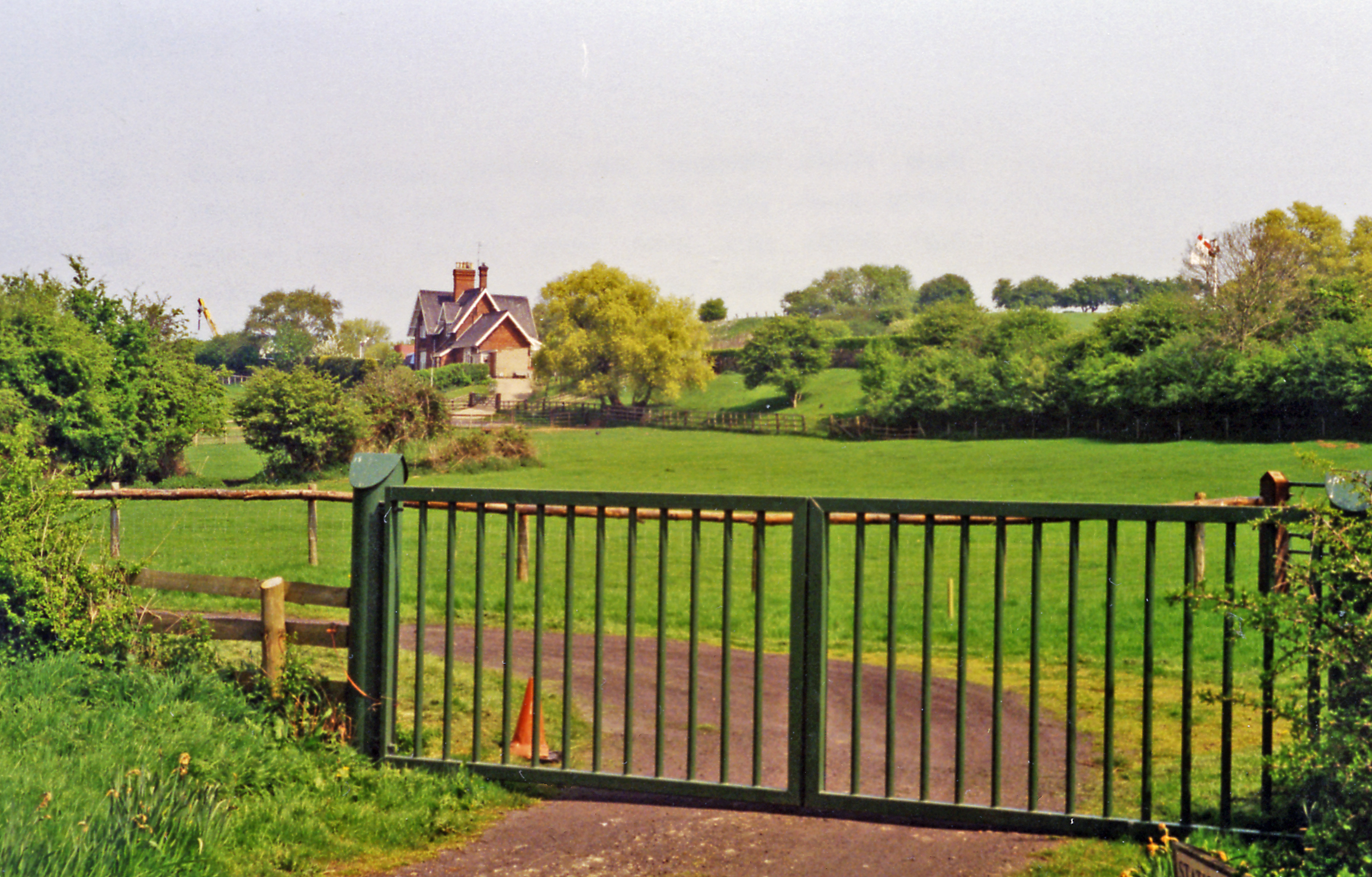
Lodge Pond is a picturesque freshwater pond located in Northamptonshire, England. It is situated in the heart of a natural reserve, surrounded by lush greenery and diverse wildlife. The pond covers an area of approximately 5 acres, making it an ideal habitat for various species of aquatic organisms.

The pond is fed by a small stream that flows from nearby springs, ensuring a constant supply of fresh water. The water is crystal clear, allowing visitors to observe the underwater ecosystem with ease. The pond is home to a wide range of fish species, including perch, roach, and carp, making it a popular spot for anglers.

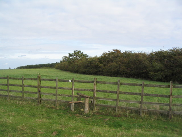
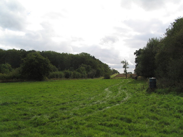
Surrounding the pond is a thriving marshland, which provides a haven for numerous bird species. Birdwatchers can spot common waterfowl like mallards and coots, as well as more elusive species such as herons and kingfishers. The serene atmosphere and abundant wildlife make Lodge Pond a fantastic destination for nature lovers and photographers alike.

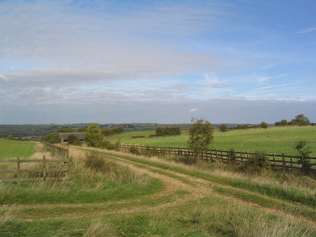
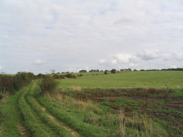
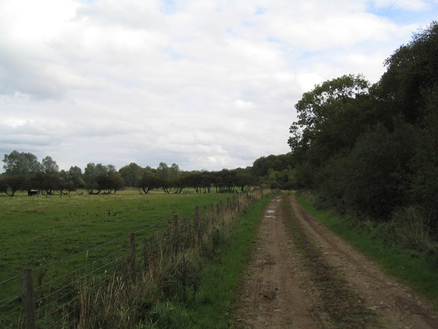
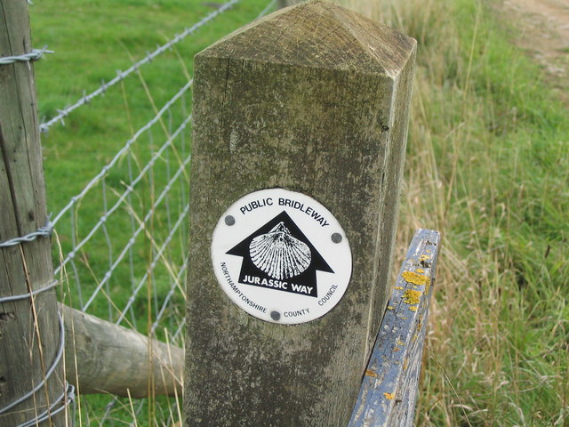
Visitors can explore the pond's surroundings via designated walking trails, which offer stunning views of the water and its inhabitants. The area is also equipped with various amenities, including picnic areas and benches, allowing visitors to relax and enjoy the tranquility of the pond.

Overall, Lodge Pond in Northamptonshire is a beautiful freshwater ecosystem teeming with life. Its idyllic setting and diverse wildlife make it a must-visit destination for anyone seeking a peaceful and enchanting natural experience.

If you have any feedback on the listing, please let us know in the comments section below.
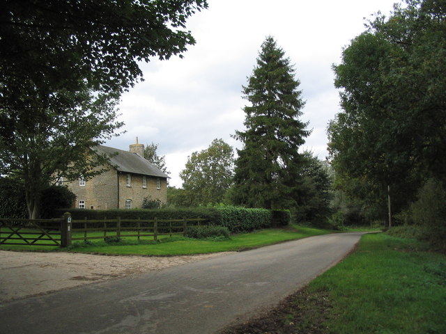
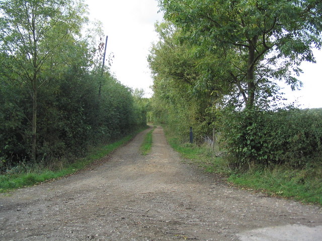
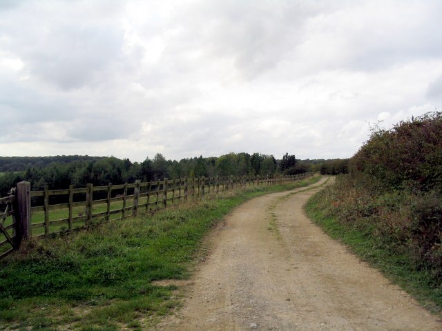
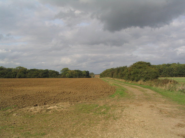
Lodge Pond Images

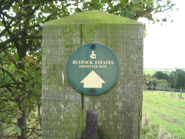
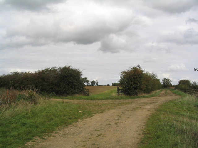
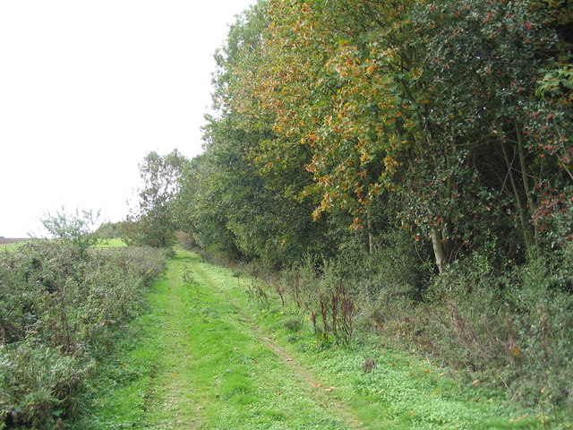
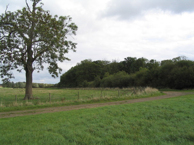
Images are sourced within 2km of 52.546233/-0.62852113 or Grid Reference SP9395. Thanks to Geograph Open Source API. All images are credited.

Track junction, north-east of Gretton The main track continues down to the left. I'm not sure of the right-of-way status of these tracks; but some sections are 'Permitted Path'. They are good for cycling.
Track junction, north-east of Gretton
The main track continues down to the left. I'm not sure of the right-of-way status of these tracks; but some sections are 'Permitted Path'. They are good for cycling.
Footpath stile The stile has a rare Northamptonshire County Council footpath marker. I say this as a resident of neighbouring Leicestershire, where footpaths are much better marked.
Footpath stile
The stile has a rare Northamptonshire County Council footpath marker. I say this as a resident of neighbouring Leicestershire, where footpaths are much better marked.
Another track junction, north-east of Gretton The track from Gretton joins from the left (south-west)
Another track junction, north-east of Gretton
The track from Gretton joins from the left (south-west)
Track swinging eastward towards the Harringworth-Laxton road This section is marked as a Permissive Path
Track swinging eastward towards the Harringworth-Laxton road
This section is marked as a Permissive Path
Thank you Bulwick Estates These signs are present on a number of tracks in this area
Thank you Bulwick Estates
These signs are present on a number of tracks in this area
Track junction west of Harringworth Lodge The track to the left runs north-west to join a track south-west to Gretton. The tracks are part of an old network of ironstone railways, with the site of Harringworth sidings in the distance. See link <span class="nowrap"><a title="http://www.irsociety.co.uk/Archives/2/ironstone_tramways.htm" rel="nofollow ugc noopener" href="http://www.irsociety.co.uk/Archives/2/ironstone_tramways.htm">Link</a><img style="margin-left:2px;" alt="External link" title="External link - shift click to open in new window" src="https://s1.geograph.org.uk/img/external.png" width="10" height="10"/></span> (Thanks to Chris Lowe for this information)
Track junction west of Harringworth Lodge
The track to the left runs north-west to join a track south-west to Gretton. The tracks are part of an old network of ironstone railways, with the site of Harringworth sidings in the distance. See link LinkExternal link (Thanks to Chris Lowe for this information)
Jurassic Way heading south-west to Gretton The trees on the right form the foot of a very steep bank, whose origin eludes me.
Jurassic Way heading south-west to Gretton
The trees on the right form the foot of a very steep bank, whose origin eludes me.
Edge of Hollow Wood
Edge of Hollow Wood
Jurassic Way running east along edge of Hollow Wood You only know this is the Jurassic Way because it is on the OS map. Don't expect to see many signs on the ground.
Jurassic Way running east along edge of Hollow Wood
You only know this is the Jurassic Way because it is on the OS map. Don't expect to see many signs on the ground.
Woodland gap The gap between Household Coppice (left) and Hollow Wood (right), view south from the Jurassic Way
Woodland gap
The gap between Household Coppice (left) and Hollow Wood (right), view south from the Jurassic Way
Hen's tooth Footpath signs in this area are rare
Hen's tooth
Footpath signs in this area are rare
Harringworth Lodge Viewed from the south-west over its lovely lake
Harringworth Lodge
Viewed from the south-west over its lovely lake
House on minor road from Deene to Harringworth
Entrance to lane The lane runs west, off the minor road between Deene and Harringworth. I'm not sure of its status, but the landowner who happened to be passing as I took this picture, said he was happy for cyclists to use it
Entrance to lane
The lane runs west, off the minor road between Deene and Harringworth. I'm not sure of its status, but the landowner who happened to be passing as I took this picture, said he was happy for cyclists to use it
Lane heading west past Geese Wood The 1940s OS map shows that there was once more extensive woodland on the south (left) side of the lane.
Lane heading west past Geese Wood
The 1940s OS map shows that there was once more extensive woodland on the south (left) side of the lane.
Woodland gap viewed from the south The short section of lane running west from the minor road between Deene and Harringworth <a href="https://www.geograph.org.uk/photo/256337">SP9394 : Entrance to lane</a> swings north through the gap between Hollow Wood (left) and Household Coppice (right) to join the Jurassic Way
Woodland gap viewed from the south
The short section of lane running west from the minor road between Deene and Harringworth SP9394 : Entrance to lane swings north through the gap between Hollow Wood (left) and Household Coppice (right) to join the Jurassic Way
Mavis Wood, viewed from south-west My dog-eared 1987 1:50000 OS map shows a track around this wood, no longer present.
Mavis Wood, viewed from south-west
My dog-eared 1987 1:50000 OS map shows a track around this wood, no longer present.
Looking towards former quarry workings The low ground in the middle distance is marked as a quarry on my 1987 OS map, but no quarry is shown on the 1940s or on the current map
Looking towards former quarry workings
The low ground in the middle distance is marked as a quarry on my 1987 OS map, but no quarry is shown on the 1940s or on the current map
Show me another place!

Lodge Pond is located at Grid Ref: SP9395 (Lat: 52.546233, Lng: -0.62852113)

Unitary Authority: North Northamptonshire

Police Authority: Northamptonshire

What 3 Words

///salon.supposing.tastings. Near Seaton, Rutland

Nearby Locations

Lodge Pond The Warren

Related Wikis

Gretton Rural District

Gretton was a rural district in Northamptonshire, England from 1894 to 1935. It was formed from the Northamptonshire part of the Uppingham rural sanitary...

RAF Spanhoe

Royal Air Force Spanhoe or more simply RAF Spanhoe (also known as Harringworth or Wakerley) is a former Royal Air Force station near Uppingham in Northamptonshire...

Laxton, Northamptonshire

Laxton is a village in North Northamptonshire, seven miles (11 km) east of Corby and approximately one mile (1.6 km) west of the A43. At the time of the...

Harringworth railway station

Harringworth railway station was a railway station near Harringworth, Northamptonshire. It was on the Oakham to Kettering Line of the Midland Railway,...

Have you been to Lodge Pond?

Leave your review of Lodge Pond below (or comments, questions and feedback).