Red House Wood
Wood, Forest in Yorkshire Scarborough
England
Red House Wood
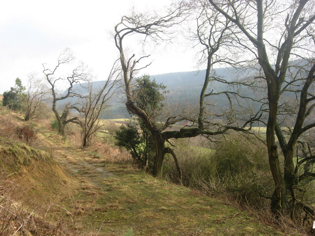
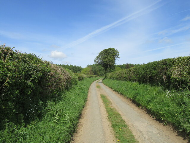
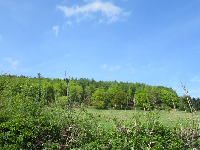
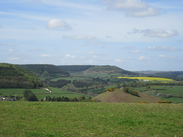
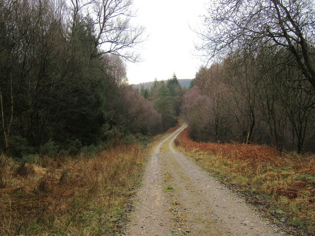
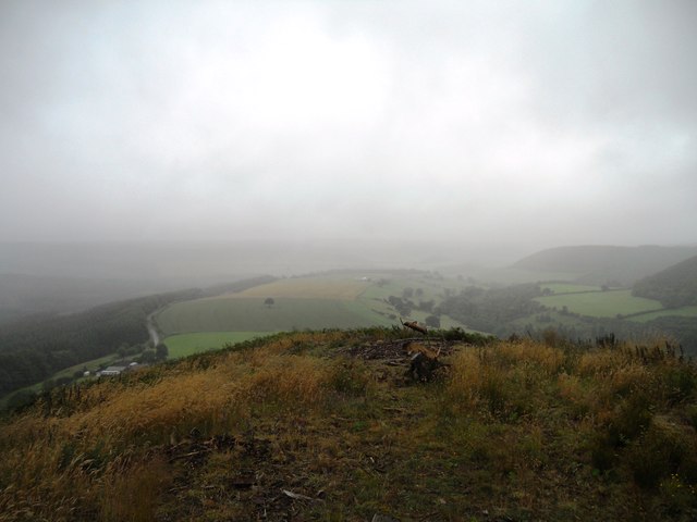
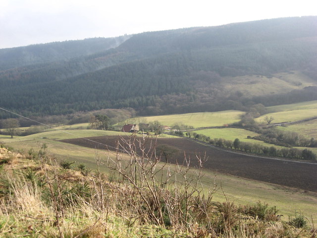
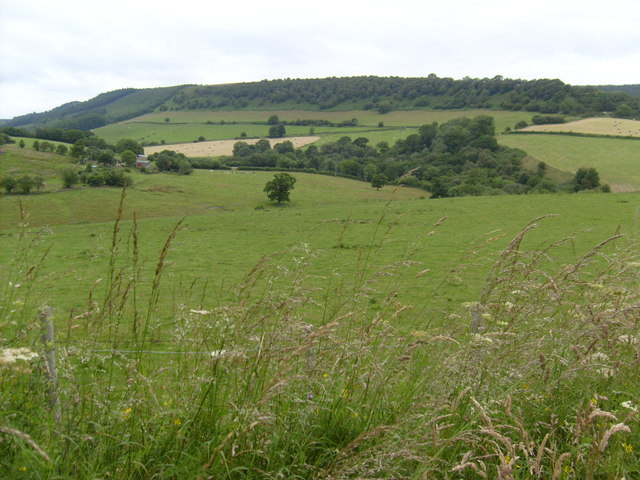
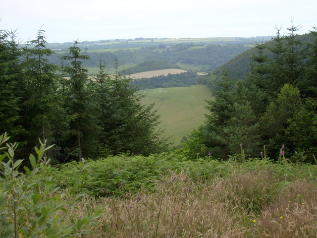
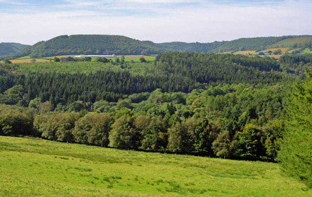
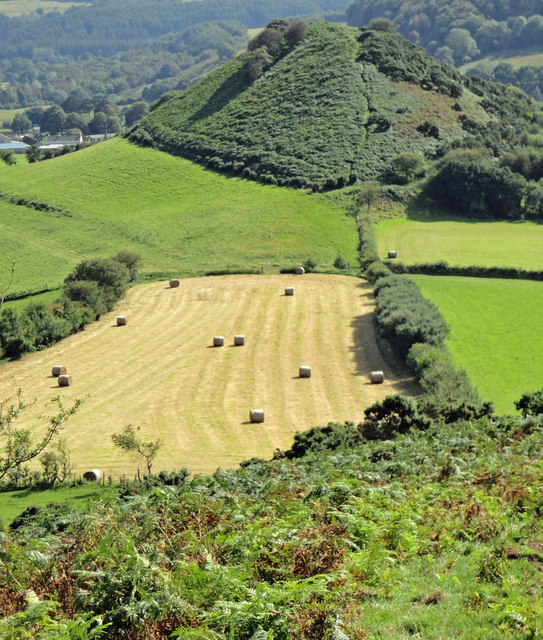
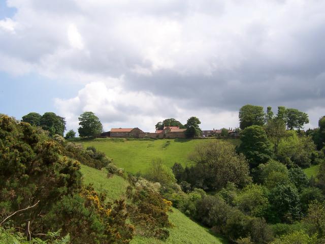
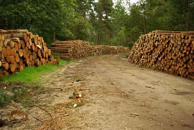
Red House Wood is a captivating woodland located in the county of Yorkshire, England. Spanning over an area of approximately 50 acres, this forested area offers a delightful retreat for nature enthusiasts and those seeking tranquility amidst the beauty of the outdoors.
The woodland is characterized by its dense canopy of trees, predominantly consisting of oak, beech, and birch. The varying heights and sizes of these trees create a diverse habitat, harboring an abundance of plant and animal species. Walking along the well-maintained trails, visitors can observe an array of wildflowers, ferns, and mosses that flourish in the forest floor.
The enchanting atmosphere of Red House Wood is amplified by the presence of a meandering stream that flows through the heart of the woodland. The gentle sound of water trickling over rocks adds to the serenity of the surroundings, providing a soothing backdrop to the symphony of bird songs that can be heard throughout the day.
This woodland is not only a haven for nature enthusiasts but also serves as an important ecological site. It is home to a diverse range of wildlife, including deer, foxes, squirrels, and a variety of bird species. The forest's secluded nature provides a safe haven for these animals, allowing them to thrive in their natural habitat.
Red House Wood is a popular destination for hikers, birdwatchers, and picnickers alike. With its picturesque setting and diverse ecosystem, it offers a wonderful opportunity to reconnect with nature and enjoy the peaceful ambiance that only a woodland can provide.
If you have any feedback on the listing, please let us know in the comments section below.
Red House Wood Images
Images are sourced within 2km of 54.314846/-0.56777972 or Grid Reference SE9391. Thanks to Geograph Open Source API. All images are credited.


Red House Wood is located at Grid Ref: SE9391 (Lat: 54.314846, Lng: -0.56777972)
Division: North Riding
Administrative County: North Yorkshire
District: Scarborough
Police Authority: North Yorkshire
What 3 Words
///parting.recap.crescendo. Near Burniston, North Yorkshire
Nearby Locations
Related Wikis

Darncombe-cum-Langdale End
Darncombe-cum-Langdale End is a civil parish in the Scarborough district of North Yorkshire, England. According to the 2001 UK census, Darncombe-cum-Langdale...

Broxa-cum-Troutsdale
Broxa-cum-Troutsdale is a civil parish in the Scarborough district of North Yorkshire, England. The population as of the 2011 census remained less than...
Broxa, North Yorkshire
Broxa is a village in the Scarborough district of North Yorkshire, England, within the North York Moors National Park. The village is 6.2 miles (10 km...

Silpho
Silpho is a village and civil parish in the Scarborough district of the county of North Yorkshire, England. According to the 2001 UK census, Silpho parish...
Wykeham Forest
Wykeham Forest is a 2,760-acre (1,115-hectare) woodland 6 miles (9.7 km) in the North York Moors National Park, near to Wykeham, west of Scarborough, England...

Hackness
Hackness is a village and civil parish in the Scarborough district of the county of North Yorkshire, England. It lies within the North York Moors National...
Harwood Dale
Harwood Dale is a village and civil parish in the Scarborough district of North Yorkshire, England. It lies within the North York Moors National Park...
Suffield, North Yorkshire
Suffield is a hamlet in the parish of Suffield-cum-Everley in the Scarborough district of North Yorkshire, England. the hamlet is 4.5 miles (7.2 km) north...
Nearby Amenities
Located within 500m of 54.314846,-0.56777972Have you been to Red House Wood?
Leave your review of Red House Wood below (or comments, questions and feedback).