Dungee Wood

Wood, Forest in Bedfordshire

England

Dungee Wood

Track to Dungee Farm
Track to Dungee Farm Credit: Bikeboy

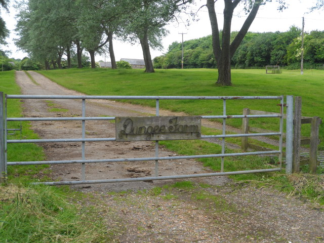
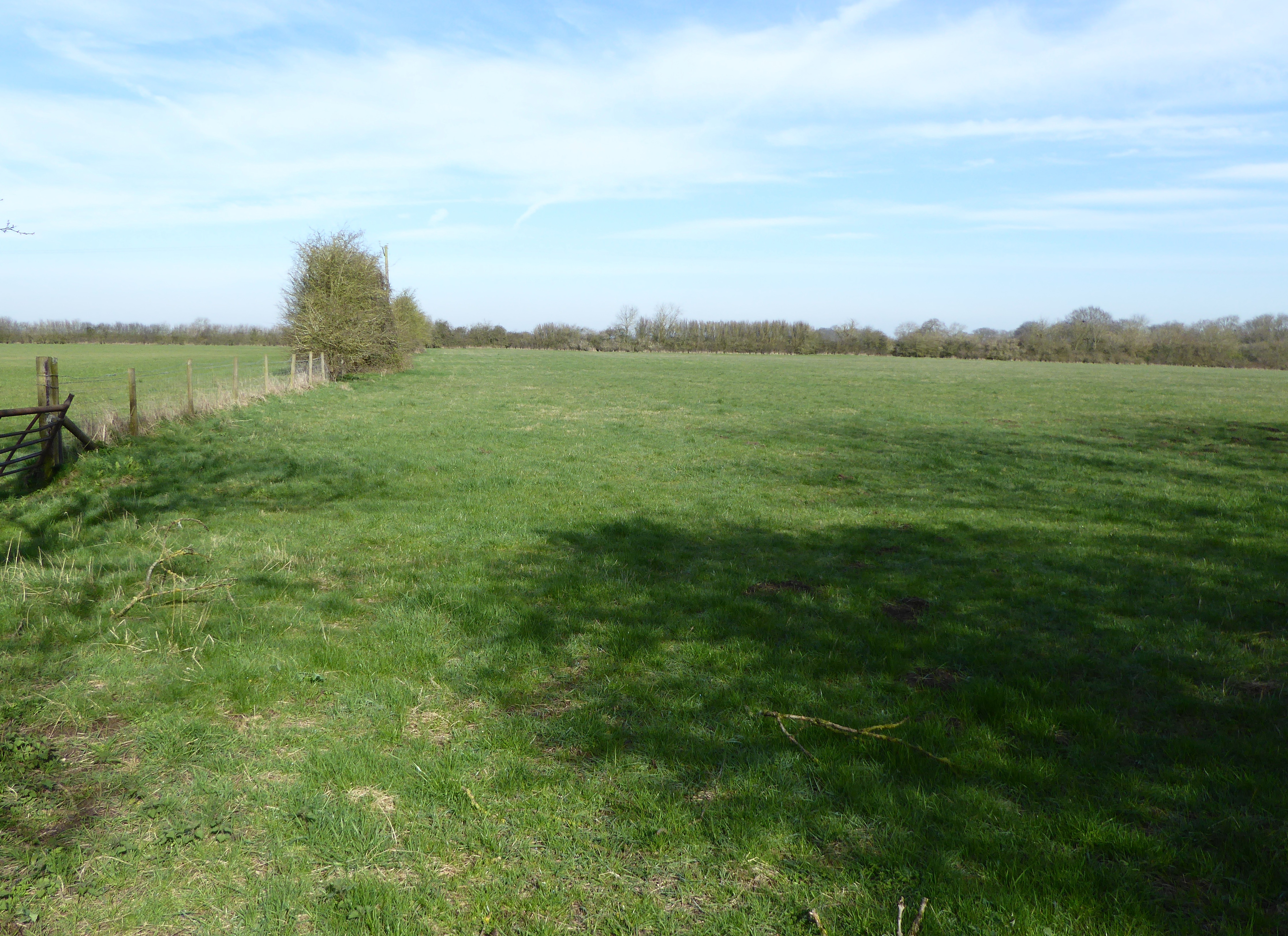
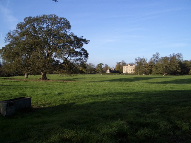
Dungee Wood is a picturesque woodland located in the rural county of Bedfordshire, England. Situated near the village of Dungee, this woodland covers an area of approximately 50 acres and is known for its natural beauty and diverse ecosystem.

The wood is primarily composed of deciduous trees, including oak, beech, and birch, which create a dense canopy that provides shade and shelter for a variety of wildlife. The forest floor is covered in a thick layer of leaf litter, creating a rich habitat for small mammals, insects, and fungi.

Dungee Wood is a popular destination for nature enthusiasts and hikers, with a network of well-maintained trails winding through the forest. These trails offer visitors the opportunity to explore the wood at their own pace and discover its hidden treasures, such as ancient trees, wildflowers, and small streams.

The wood is also home to a diverse range of bird species, making it a haven for birdwatchers. Visitors may spot woodpeckers, owls, and various songbirds as they wander through the peaceful woodland.

In addition to its natural beauty, Dungee Wood holds historical significance. It is believed to have been a hunting ground for nobility in medieval times, and remnants of old hunting lodges can still be found scattered throughout the area.

Overall, Dungee Wood is a tranquil and enchanting woodland that offers a peaceful escape from the bustling urban life. Its natural charm and rich biodiversity make it a delightful destination for anyone seeking to reconnect with nature.

If you have any feedback on the listing, please let us know in the comments section below.
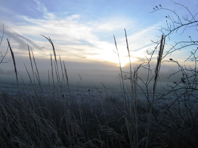
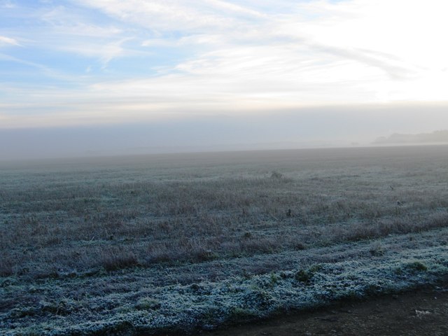
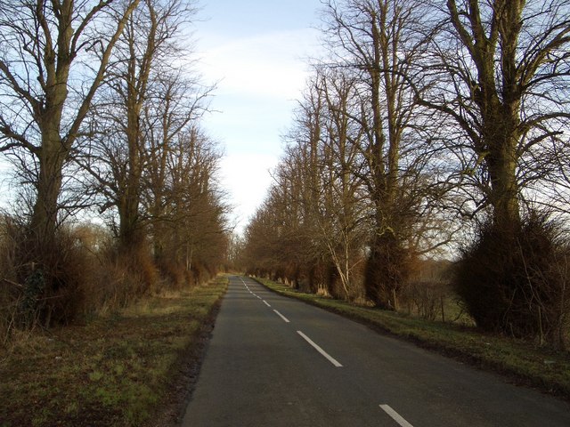
Dungee Wood Images

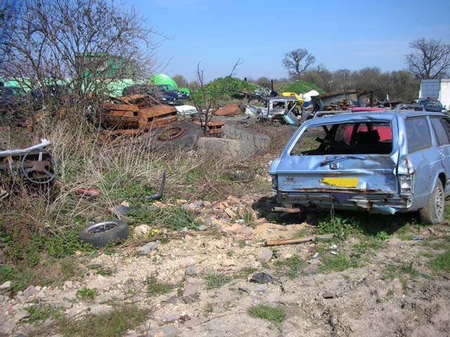
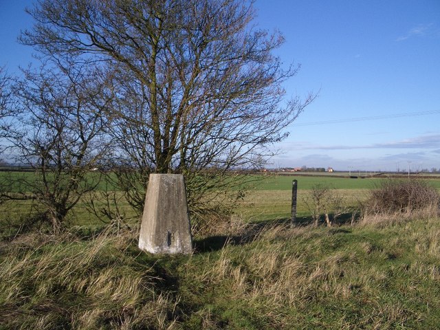
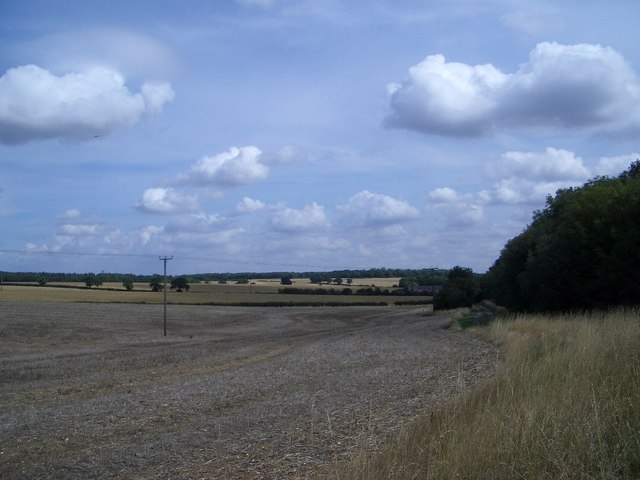
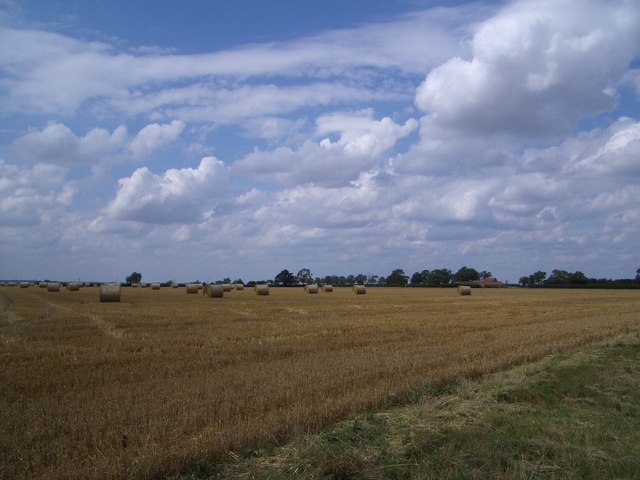
Images are sourced within 2km of 52.224114/-0.63802752 or Grid Reference SP9359. Thanks to Geograph Open Source API. All images are credited.

Track to Dungee Farm
Dungee Barn
Dungee Barn
Glebe Farm, Bozeat
Glebe Farm, Bozeat
Frosty fields
Frosty fields
Frosty field
Frosty field
Tree Avenue on Dungee to Hinwick Road Looking northwestwards, this fine avenue of trees extends for over 1km along the road that leads from Dungee Corner near Bozeat to the hamlet of Hinwick. The planting may originally have been associated with nearby Hinwick House.
Tree Avenue on Dungee to Hinwick Road
Looking northwestwards, this fine avenue of trees extends for over 1km along the road that leads from Dungee Corner near Bozeat to the hamlet of Hinwick. The planting may originally have been associated with nearby Hinwick House.
Agricultural machinery on the former Podington Airfield
Agricultural machinery
on the former Podington Airfield
The Three Shires Way leaves Podington Airfield Forty Acre Wood is seen in the background.
The Three Shires Way leaves Podington Airfield
Forty Acre Wood is seen in the background.
Car breaker's yard on Podington airfield
Roman Road to Irchester The road is now a byway. Blackthorn blossom can be seen.
Roman Road to Irchester
The road is now a byway. Blackthorn blossom can be seen.
Roman Road with Cowslips Looking south
Roman Road with Cowslips
Looking south
Dungee Barn, Harrold Road, Bozeat Dungee Barn, viewed from the rear, is a traditional vernacular U-shaped farm range built mostly of local stone and with brick quoins. At the front there are signs of another adjoining barn, with slit vents, of which little remains. The taller element has a wagon sized entrance at the front. There is a sizeable farm pond immediately behind camera.
Dungee Barn, Harrold Road, Bozeat
Dungee Barn, viewed from the rear, is a traditional vernacular U-shaped farm range built mostly of local stone and with brick quoins. At the front there are signs of another adjoining barn, with slit vents, of which little remains. The taller element has a wagon sized entrance at the front. There is a sizeable farm pond immediately behind camera.
Cast Iron Support Pillars, Dungee Barn, Bozeat Dungee Barn has simple cast iron support pillars suggesting that it is of Victorian date. Thankfully, the Barn has received repairs to its roof tiling and some buttressing of its walls in more recent times.
Cast Iron Support Pillars, Dungee Barn, Bozeat
Dungee Barn has simple cast iron support pillars suggesting that it is of Victorian date. Thankfully, the Barn has received repairs to its roof tiling and some buttressing of its walls in more recent times.
Trig Point near Harrold Park Farm This Trig Point is readily accessible beside the Three Shire Bridleway where it is joined by another bridleway that leads directly up from Harrold via Park Wood. The trig point is in good condition.
Trig Point near Harrold Park Farm
This Trig Point is readily accessible beside the Three Shire Bridleway where it is joined by another bridleway that leads directly up from Harrold via Park Wood. The trig point is in good condition.
Harvest Gathered in at Dungee Farm This view of the recently harvested cornfield looks to the north-east from the bridleway that emerges on the north side of Park Wood near Harrold. Dungee Farm is visible beyond the edge of the nearby woods. In the far-distance and on the skyline from left to right are Dungee, Forty Acre and Great Odell Woods.
Harvest Gathered in at Dungee Farm
This view of the recently harvested cornfield looks to the north-east from the bridleway that emerges on the north side of Park Wood near Harrold. Dungee Farm is visible beyond the edge of the nearby woods. In the far-distance and on the skyline from left to right are Dungee, Forty Acre and Great Odell Woods.
Harvest Gathered in at Dungee Corner This view of the recently harvested crop looks north-westwards from the Three Shire Bridleway across to Dungee Barn - see SP9259.
Harvest Gathered in at Dungee Corner
This view of the recently harvested crop looks north-westwards from the Three Shire Bridleway across to Dungee Barn - see SP9259.
Benchmark Detail on Trig Point near Harrold Park Farm The OS Bench Mark shows the number detail: S6835. The whole trig point is also shown in another photo in this grid square.
Benchmark Detail on Trig Point near Harrold Park Farm
The OS Bench Mark shows the number detail: S6835. The whole trig point is also shown in another photo in this grid square.
Harrold Park Farm The isolated Harrold Park Farm is viewed here from the nearby Three Shire Bridleway. Park Wood is shown to the rear of the farmhouse on the right.
Harrold Park Farm
The isolated Harrold Park Farm is viewed here from the nearby Three Shire Bridleway. Park Wood is shown to the rear of the farmhouse on the right.
Show me another place!

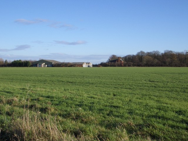
Dungee Wood is located at Grid Ref: SP9359 (Lat: 52.224114, Lng: -0.63802752)

Unitary Authority: Bedford

Police Authority: Bedfordshire

What 3 Words

///widgets.clock.outhouse. Near Bozeat, Northamptonshire

Related Wikis

Dungee Corner Meadow

Dungee Corner Meadow is a 5.1-hectare (13-acre) biological Site of Special Scientific Interest east of Bozeat in Northamptonshire.This well drained hay...
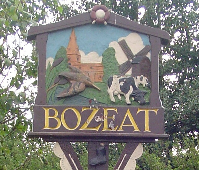
Bozeat

Bozeat locally is a village and civil parish in the postal district of Wellingborough, North Northamptonshire, England, about 6 miles (10 km) south of...

Hinwick

Hinwick ( HIN-ik) is a hamlet in northwest Bedfordshire, England, United Kingdom; it is around nine miles north west of Bedford and is about 1 km (0.62...
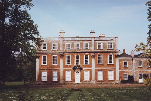
Hinwick House

Hinwick House is a Grade I-listed Queen Anne country house located about 90 minutes from Central London, near Podington in North Bedfordshire. The estate...

Have you been to Dungee Wood?

Leave your review of Dungee Wood below (or comments, questions and feedback).