Dungee Plantation

Wood, Forest in Bedfordshire

England

Dungee Plantation

Track to Dungee Farm
Track to Dungee Farm Credit: Bikeboy

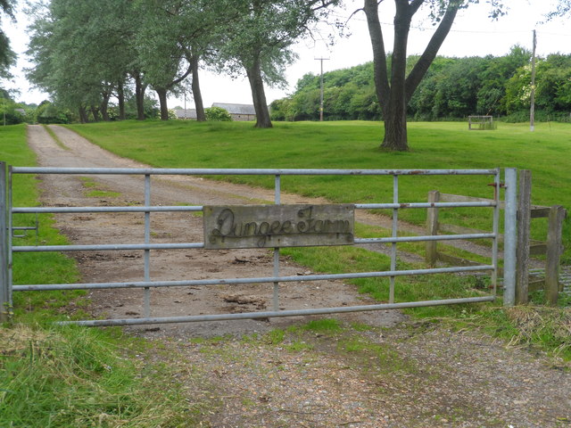
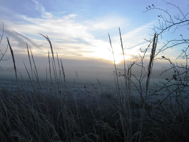
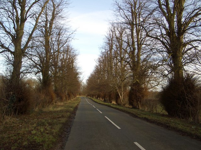
Dungee Plantation is a picturesque woodland area located in Bedfordshire, England. Situated in the heart of the county, the plantation is renowned for its natural beauty and rich biodiversity, attracting nature enthusiasts and hikers alike.

Covering an area of approximately 200 acres, Dungee Plantation is predominantly made up of dense woodlands and lush forests. The plantation is characterized by a variety of tree species, including oak, beech, and birch, which contribute to the area's stunning scenic views. The towering trees create a dense canopy, providing a haven for numerous bird species and small mammals.

Visitors to Dungee Plantation can explore a network of well-maintained trails and footpaths, allowing them to immerse themselves in the tranquil surroundings. The pathways wind through the woodland, leading to hidden clearings and secluded spots, perfect for picnics or simply enjoying the peaceful ambiance.

Wildlife enthusiasts will be delighted by the diverse range of fauna that calls Dungee Plantation home. Squirrels, foxes, and deer are commonly spotted, while birdwatchers can expect to see species such as woodpeckers, owls, and various songbirds.

Dungee Plantation also serves as an important nature conservation area. The woodland management practices implemented here aim to promote biodiversity and maintain the health of the ecosystem. Regular tree planting initiatives and habitat restoration efforts contribute to the ongoing preservation of this natural treasure.

Overall, Dungee Plantation offers a serene and enchanting experience for those seeking solace in nature. Its scenic beauty, diverse wildlife, and commitment to conservation make it a must-visit destination for both locals and tourists alike.

If you have any feedback on the listing, please let us know in the comments section below.

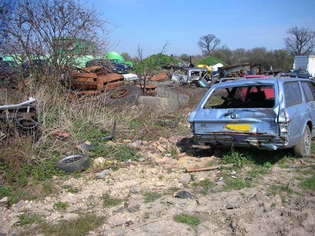
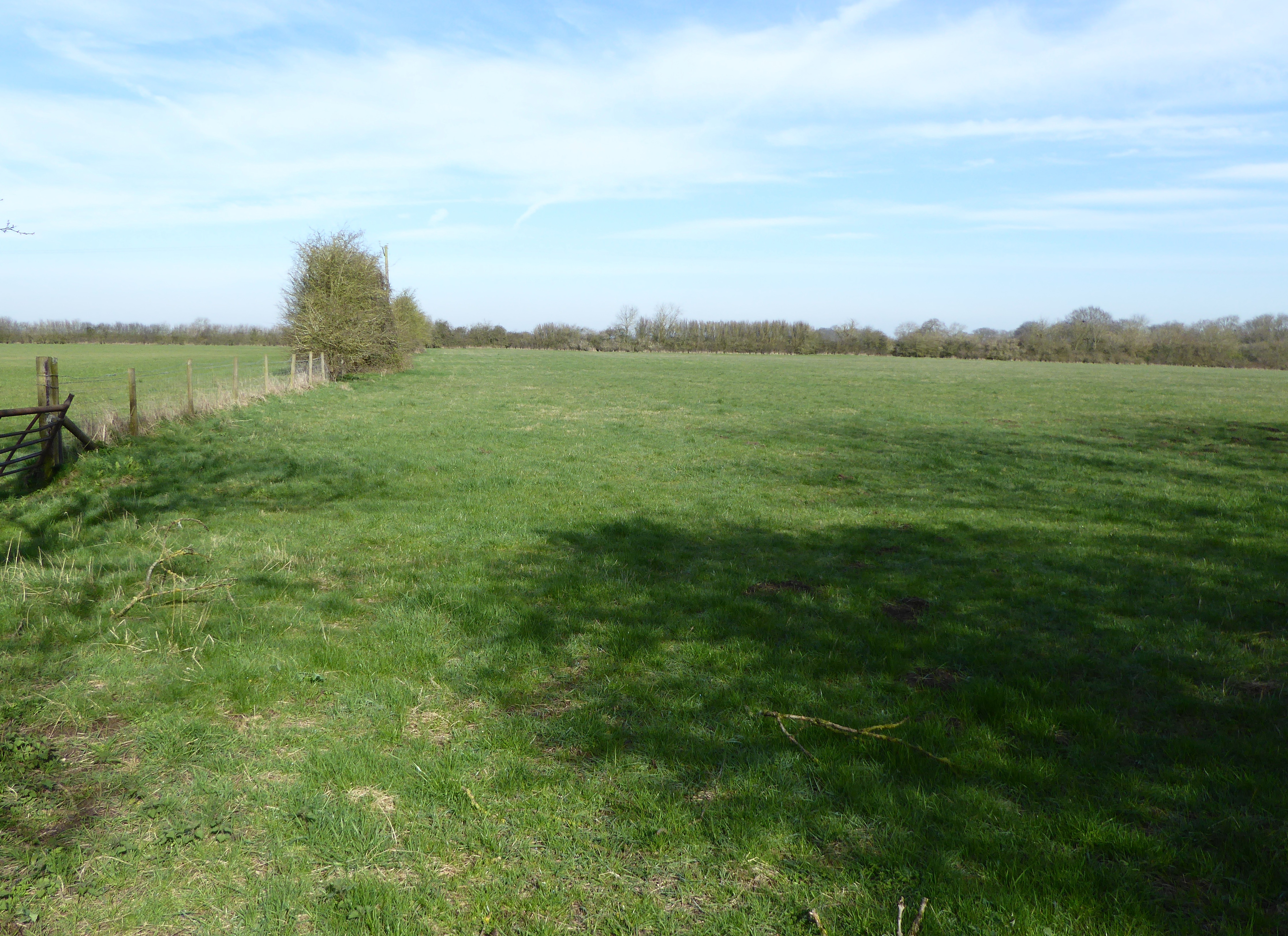
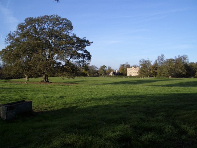
Dungee Plantation Images

Images are sourced within 2km of 52.228483/-0.63872843 or Grid Reference SP9359. Thanks to Geograph Open Source API. All images are credited.

Track to Dungee Farm
Dungee Barn
Dungee Barn
Glebe Farm, Bozeat
Glebe Farm, Bozeat
Frosty fields
Frosty fields
Frosty field
Frosty field
Parish Boundary Brook Looking north. The brook is the boundary between Strixton and Bozeat. The public footpath from Bozeat to Wollaston runs along the bank. The spinney is named Well Ley Plantation. Poplars Farm can be seen in the background
Parish Boundary Brook
Looking north. The brook is the boundary between Strixton and Bozeat. The public footpath from Bozeat to Wollaston runs along the bank. The spinney is named Well Ley Plantation. Poplars Farm can be seen in the background
Poplars Farm Looking north-east along a farm road. The farm house can be glimpsed on the left.
Poplars Farm
Looking north-east along a farm road. The farm house can be glimpsed on the left.
Stile and water-trough The public footpath beyond the stile has been restored across the wheat crop. The village of Wollaston is seen in the background.
Stile and water-trough
The public footpath beyond the stile has been restored across the wheat crop. The village of Wollaston is seen in the background.
Tree Avenue on Dungee to Hinwick Road Looking northwestwards, this fine avenue of trees extends for over 1km along the road that leads from Dungee Corner near Bozeat to the hamlet of Hinwick. The planting may originally have been associated with nearby Hinwick House.
Tree Avenue on Dungee to Hinwick Road
Looking northwestwards, this fine avenue of trees extends for over 1km along the road that leads from Dungee Corner near Bozeat to the hamlet of Hinwick. The planting may originally have been associated with nearby Hinwick House.
Agricultural machinery on the former Podington Airfield
Agricultural machinery
on the former Podington Airfield
The Three Shires Way leaves Podington Airfield Forty Acre Wood is seen in the background.
The Three Shires Way leaves Podington Airfield
Forty Acre Wood is seen in the background.
Car breaker's yard on Podington airfield
Roman Road to Irchester now a byway. The Blackthorn is still in flower.
Roman Road to Irchester
now a byway. The Blackthorn is still in flower.
Roman Road to Irchester The road is now a byway. Blackthorn blossom can be seen.
Roman Road to Irchester
The road is now a byway. Blackthorn blossom can be seen.
Roman Road with Cowslips Looking south
Roman Road with Cowslips
Looking south
Roman road with ruts The road is now a byway, and easily damaged by modern vehicles
Roman road with ruts
The road is now a byway, and easily damaged by modern vehicles
Dungee Barn, Harrold Road, Bozeat Dungee Barn, viewed from the rear, is a traditional vernacular U-shaped farm range built mostly of local stone and with brick quoins. At the front there are signs of another adjoining barn, with slit vents, of which little remains. The taller element has a wagon sized entrance at the front. There is a sizeable farm pond immediately behind camera.
Dungee Barn, Harrold Road, Bozeat
Dungee Barn, viewed from the rear, is a traditional vernacular U-shaped farm range built mostly of local stone and with brick quoins. At the front there are signs of another adjoining barn, with slit vents, of which little remains. The taller element has a wagon sized entrance at the front. There is a sizeable farm pond immediately behind camera.
Cast Iron Support Pillars, Dungee Barn, Bozeat Dungee Barn has simple cast iron support pillars suggesting that it is of Victorian date. Thankfully, the Barn has received repairs to its roof tiling and some buttressing of its walls in more recent times.
Cast Iron Support Pillars, Dungee Barn, Bozeat
Dungee Barn has simple cast iron support pillars suggesting that it is of Victorian date. Thankfully, the Barn has received repairs to its roof tiling and some buttressing of its walls in more recent times.
Show me another place!

Dungee Plantation is located at Grid Ref: SP9359 (Lat: 52.228483, Lng: -0.63872843)

Unitary Authority: Bedford

Police Authority: Bedfordshire

What 3 Words

///resolves.thumb.overlaid. Near Bozeat, Northamptonshire

Related Wikis

Dungee Corner Meadow

Dungee Corner Meadow is a 5.1-hectare (13-acre) biological Site of Special Scientific Interest east of Bozeat in Northamptonshire.This well drained hay...

Hinwick

Hinwick ( HIN-ik) is a hamlet in northwest Bedfordshire, England, United Kingdom; it is around nine miles north west of Bedford and is about 1 km (0.62...
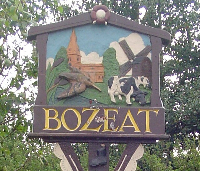
Bozeat

Bozeat locally is a village and civil parish in the postal district of Wellingborough, North Northamptonshire, England, about 6 miles (10 km) south of...
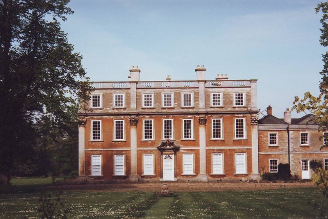
Hinwick House

Hinwick House is a Grade I-listed Queen Anne country house located about 90 minutes from Central London, near Podington in North Bedfordshire. The estate...

Nearby Amenities

Located within 500m of 52.228483,-0.63872843
Place: farm
Lat/Long: 52.2307994/-0.6360335
The data included in this document is from www.openstreetmap.org. The data is made available under ODbL.

Have you been to Dungee Plantation?

Leave your review of Dungee Plantation below (or comments, questions and feedback).