Beighton's Gorse

Wood, Forest in Lincolnshire South Kesteven

England

Beighton's Gorse

View from ridge
View from ridge Credit: Alex McGregor

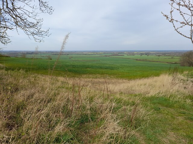
Beighton's Gorse is a small woodland area located in the county of Lincolnshire, England. Situated near the village of Beighton, the gorse is part of the wider Lincolnshire Woodlands, known for their natural beauty and diverse wildlife.

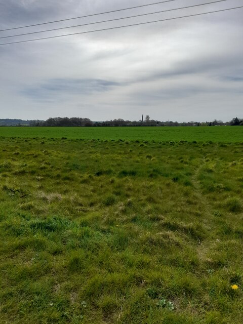
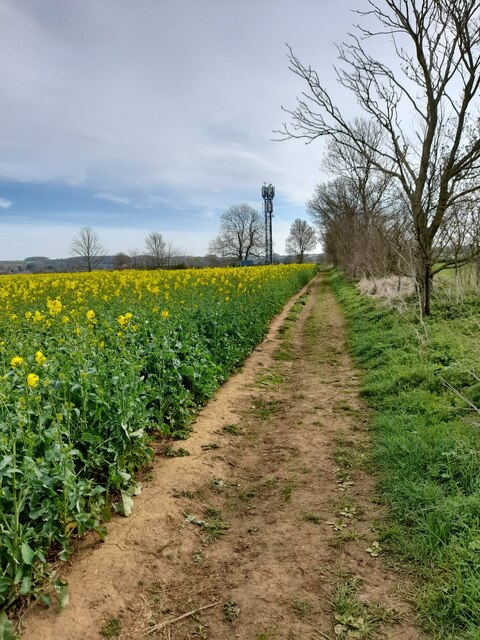
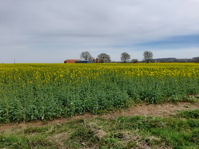
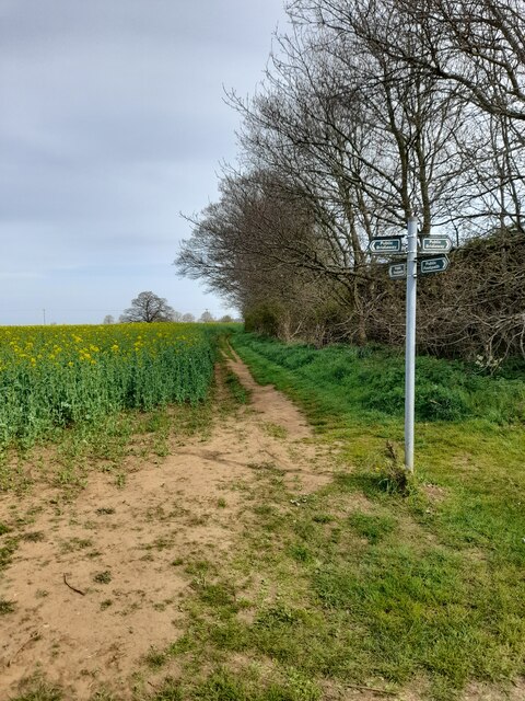
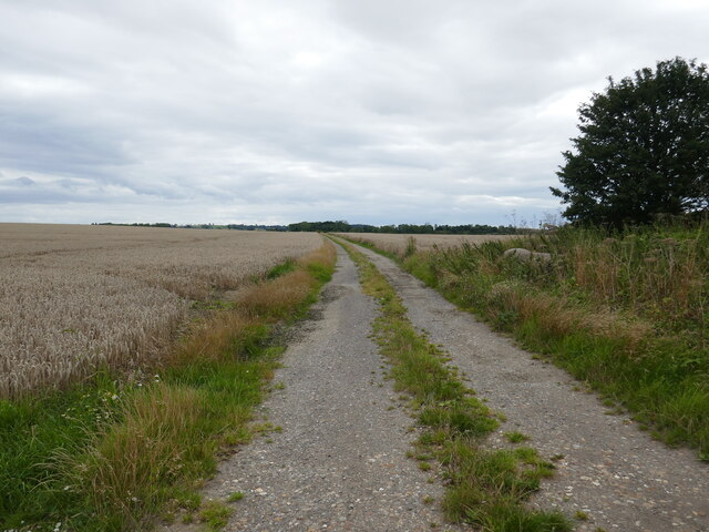
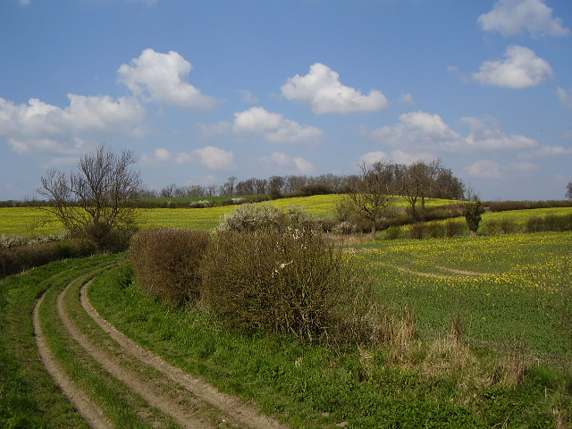
Covering an area of approximately 20 acres, Beighton's Gorse is characterized by its dense, thorny gorse bushes that dominate the landscape. These yellow-flowered shrubs create a vibrant display during the spring and summer months, adding a splash of color to the woodland.

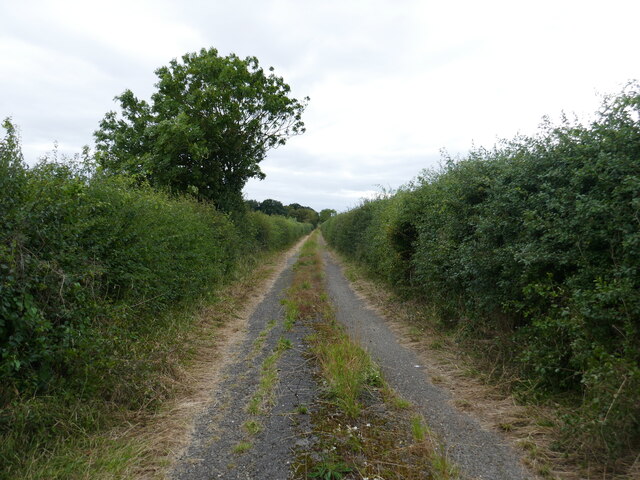
The gorse is also home to a variety of other plant species, including ferns, brambles, and wildflowers, which thrive in the sheltered and slightly acidic soil. This diverse vegetation provides a rich habitat for various insects, birds, and small mammals that inhabit the woodland.

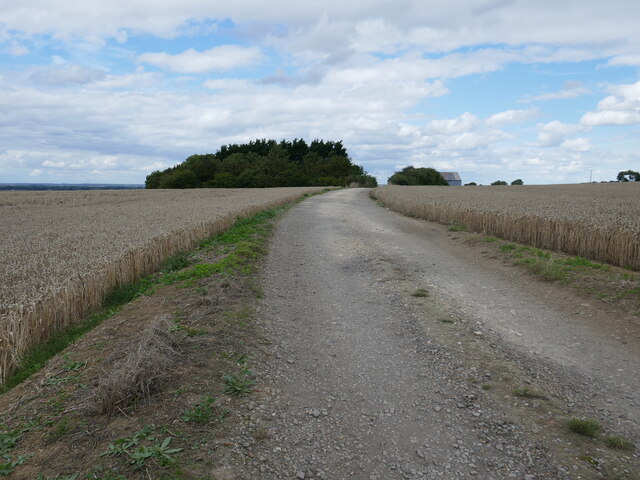
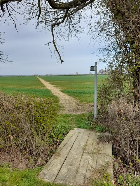
The woodland is easily accessible, with several footpaths and trails crisscrossing the area, making it a popular spot for walkers, nature enthusiasts, and photographers. The peaceful atmosphere and tranquil surroundings make it an ideal location for those seeking a break from the hustle and bustle of everyday life.

Visitors to Beighton's Gorse are encouraged to respect the natural environment and wildlife, sticking to designated paths and avoiding any damage to the delicate flora and fauna. As with any woodland area, it is advisable to wear appropriate footwear and be mindful of potential hazards, such as uneven terrain and fallen branches.

Overall, Beighton's Gorse is a charming and picturesque woodland that offers a peaceful escape and a chance to connect with nature in the heart of Lincolnshire.

If you have any feedback on the listing, please let us know in the comments section below.

Beighton's Gorse Images

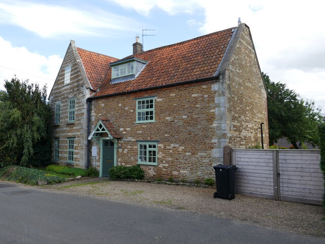
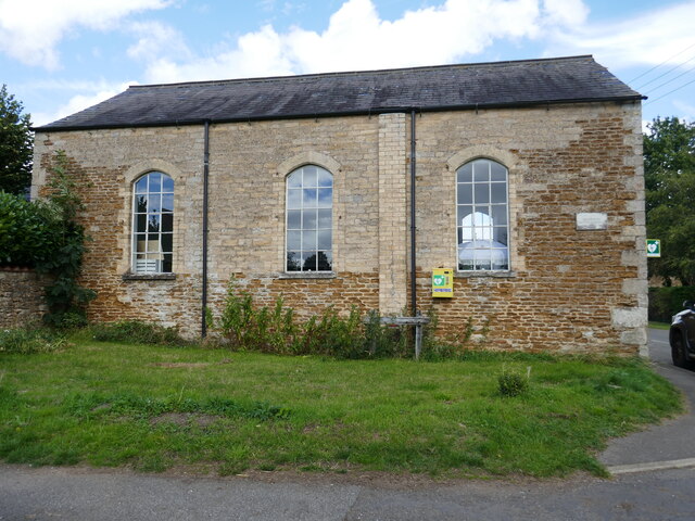
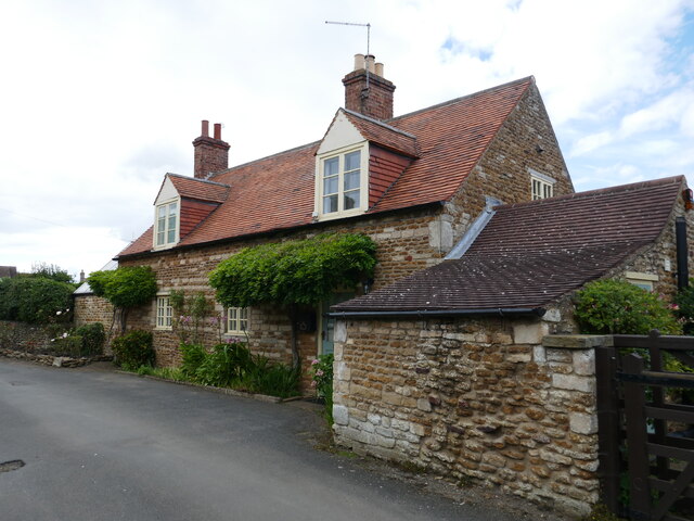
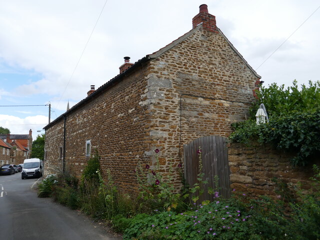
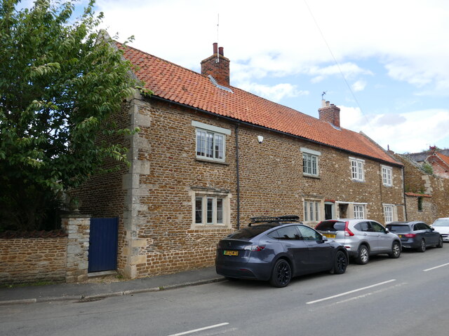
Images are sourced within 2km of 53.026472/-0.61473917 or Grid Reference SK9348. Thanks to Geograph Open Source API. All images are credited.

View from ridge
View from ridge
View across fields
View across fields
Communication mast
Communication mast
Victoria farm
Victoria farm
Public footpath
Public footpath
3 Church Lane, Caythorpe A former school dating from 1838 <span class="nowrap"><a title="https://historicengland.org.uk/listing/the-list/list-entry/1360306?section=official-list-entry" rel="nofollow ugc noopener" href="https://historicengland.org.uk/listing/the-list/list-entry/1360306?section=official-list-entry">Link</a><img style="margin-left:2px;" alt="External link" title="External link - shift click to open in new window" src="https://s1.geograph.org.uk/img/external.png" width="10" height="10"/></span>
3 Church Lane, Caythorpe
A former school dating from 1838 LinkExternal link
Wheat field, Caythorpe
Farm track to Gorse Barn
Farm track to Wheatgrass Lane, Caythorpe
Track to Shield's Gorse
St Vincent's church, Caythorpe A rare exmple of a twin naved church <span class="nowrap"><a title="https://historicengland.org.uk/listing/the-list/list-entry/1317320?section=official-list-entry" rel="nofollow ugc noopener" href="https://historicengland.org.uk/listing/the-list/list-entry/1317320?section=official-list-entry">Link</a><img style="margin-left:2px;" alt="External link" title="External link - shift click to open in new window" src="https://s1.geograph.org.uk/img/external.png" width="10" height="10"/></span>
St Vincent's church, Caythorpe
A rare exmple of a twin naved church LinkExternal link
Commercial premises, High Street, Caythorpe
Templeway House, Caythorpe Seventeenth century house <span class="nowrap"><a title="https://historicengland.org.uk/listing/the-list/list-entry/1317395?section=official-list-entry" rel="nofollow ugc noopener" href="https://historicengland.org.uk/listing/the-list/list-entry/1317395?section=official-list-entry">Link</a><img style="margin-left:2px;" alt="External link" title="External link - shift click to open in new window" src="https://s1.geograph.org.uk/img/external.png" width="10" height="10"/></span>
Templeway House, Caythorpe
Seventeenth century house LinkExternal link
Former chapel, Caythorpe Now in commercial use.
Former chapel, Caythorpe
Now in commercial use.
26 Church Lane, Caythorpe Seventeenth century cottage <span class="nowrap"><a title="https://historicengland.org.uk/listing/the-list/list-entry/1165459?section=official-list-entry" rel="nofollow ugc noopener" href="https://historicengland.org.uk/listing/the-list/list-entry/1165459?section=official-list-entry">Link</a><img style="margin-left:2px;" alt="External link" title="External link - shift click to open in new window" src="https://s1.geograph.org.uk/img/external.png" width="10" height="10"/></span>
26 Church Lane, Caythorpe
Seventeenth century cottage LinkExternal link
21 and 23 Church Lane, Caythorpe Face away from the street.
21 and 23 Church Lane, Caythorpe
Face away from the street.
8 and 10 Church Lane, Caythorpe Seventeenth century house now subdivided <span class="nowrap"><a title="https://historicengland.org.uk/listing/the-list/list-entry/1062435?section=official-list-entry" rel="nofollow ugc noopener" href="https://historicengland.org.uk/listing/the-list/list-entry/1062435?section=official-list-entry">Link</a><img style="margin-left:2px;" alt="External link" title="External link - shift click to open in new window" src="https://s1.geograph.org.uk/img/external.png" width="10" height="10"/></span>
8 and 10 Church Lane, Caythorpe
Seventeenth century house now subdivided LinkExternal link
Public footpath
Public footpath
Show me another place!

Beighton's Gorse is located at Grid Ref: SK9348 (Lat: 53.026472, Lng: -0.61473917)

Administrative County: Lincolnshire

District: South Kesteven

Police Authority: Lincolnshire

What 3 Words

///relations.bounding.serenade. Near Caythorpe, Lincolnshire

Nearby Locations

Caythorpe Beighton's Gorse

Related Wikis

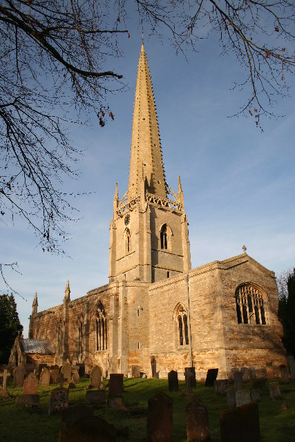
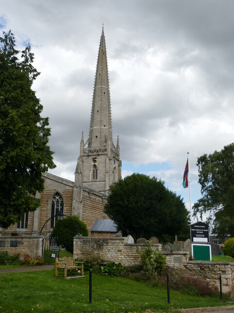
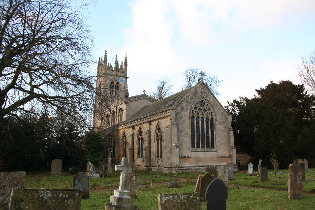
St Vincent's Church, Caythorpe

St Vincent's Church is a Grade I listed Church of England parish church in Caythorpe, Lincolnshire, England. It is at the southern edge of the Lincoln...

Caythorpe, Lincolnshire

Caythorpe is a large village and civil parish in the South Kesteven district of Lincolnshire, England. The population at 2011 census was 1,374. It is situated...

Frieston

Frieston is a village in the South Kesteven district of Lincolnshire, England. It is situated just west of the A607 road, and 7 miles (11 km) north from...

Caythorpe railway station

Caythorpe railway station was a station in Caythorpe, Lincolnshire. Built to serve the nearby village of the same name. It was on the Grantham and Lincoln...

Hough-on-the-Hill

Hough-on-the-Hill is a village and civil parish in the South Kesteven district of Lincolnshire, England. The population of the civil parish including Brandon...

Loveden

Loveden is a deanery of the Diocese of Lincoln, England, and a former wapentake.Loveden is located broadly to the North of Grantham and includes the villages...

Brandon, Lincolnshire

Brandon is a small village in South Kesteven, south Lincolnshire, England, part of the civil parish of Hough-on-the-Hill (where the population is listed...

Fulbeck

Fulbeck is a small village and civil parish in the South Kesteven district of Lincolnshire, England. The population (including Byards Leap) taken at the...

Nearby Amenities

Located within 500m of 53.026472,-0.61473917
Grass Verge
Ele: 70.5418701
Lat/Long: 53.0291396/-0.6106939
Kings Hill Farm
Place: farm
Source: Bing
Lat/Long: 53.0272069/-0.608728
Resurgam Farm
Place: farm
Source: Bing
Lat/Long: 53.0241451/-0.6086789
Generator Method: photovoltaic
Generator Output Electricity: yes
Generator Source: solar
Generator Type: solar_photovoltaic_panel
Location: roof
Power: generator
Lat/Long: 53.0271444/-0.6087549
The data included in this document is from www.openstreetmap.org. The data is made available under ODbL.

Have you been to Beighton's Gorse?

Leave your review of Beighton's Gorse below (or comments, questions and feedback).