Barfold Firs
Wood, Forest in Sussex Chichester
England
Barfold Firs

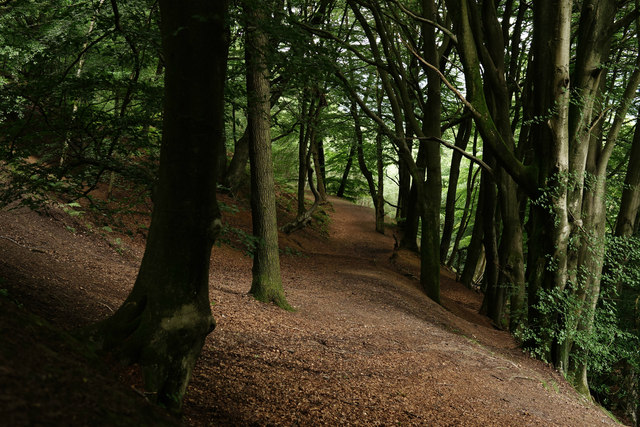
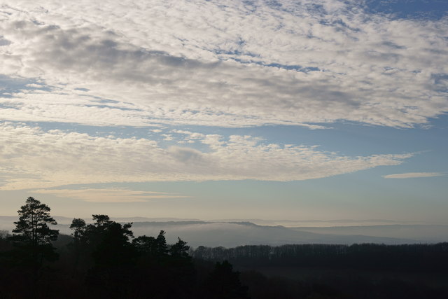
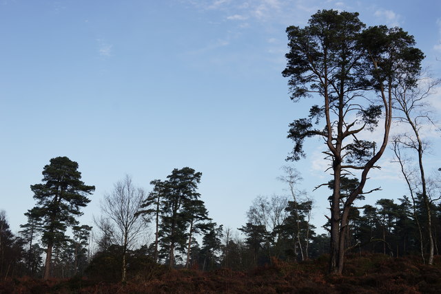
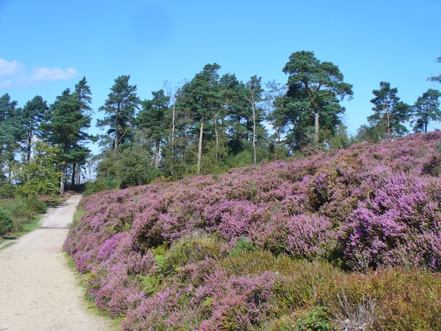
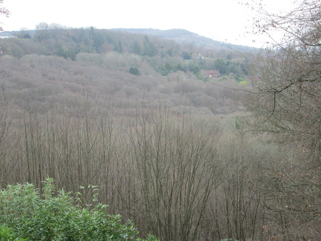
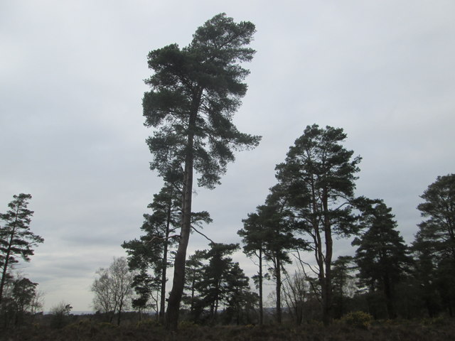
Barfold Firs is a picturesque woodland located in the county of Sussex, England. Covering an area of approximately 150 acres, this ancient forest is known for its dense growth of fir trees, which give it its unique name. The woodland is nestled in a rural setting, surrounded by rolling hills and meandering streams, creating a tranquil and serene atmosphere.
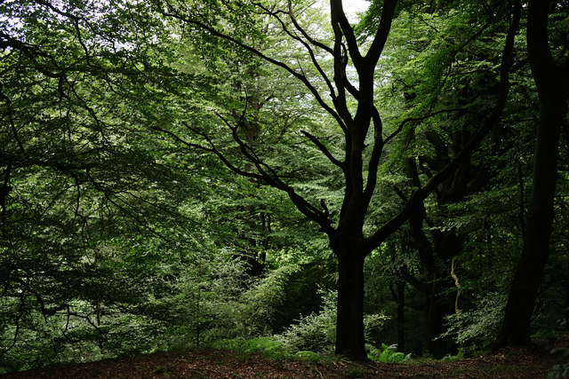
The firs in Barfold Firs are predominantly Norway spruce trees, characterized by their tall stature and symmetrical shape. These evergreen conifers create a dense canopy, providing habitat and shelter for a variety of wildlife. The forest floor is adorned with a rich carpet of mosses, ferns, and wildflowers, adding to the enchanting beauty of the woodland.
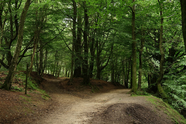
Visitors to Barfold Firs can explore a network of well-maintained trails that wind through the forest, offering stunning views and opportunities for wildlife spotting. The woodland is home to a diverse range of bird species, including woodpeckers, owls, and various songbirds. Deer, foxes, and squirrels are also frequently spotted within the forest, adding to the natural charm of the area.
Barfold Firs is a popular destination for nature enthusiasts, hikers, and photographers, seeking solace in the tranquil surroundings and capturing the beauty of the forest. The woodland is managed by the Sussex Wildlife Trust, ensuring the preservation of its natural heritage and promoting sustainable practices.
Whether it is a leisurely stroll through the tree-lined paths, a birdwatching expedition, or simply a moment of peace amidst nature, Barfold Firs offers a rejuvenating experience for all who visit.
If you have any feedback on the listing, please let us know in the comments section below.
Barfold Firs Images
Images are sourced within 2km of 51.074596/-0.67682712 or Grid Reference SU9231. Thanks to Geograph Open Source API. All images are credited.


Barfold Firs is located at Grid Ref: SU9231 (Lat: 51.074596, Lng: -0.67682712)
Administrative County: West Sussex
District: Chichester
Police Authority: Sussex
What 3 Words
///meant.bossy.flinches. Near Haslemere, Surrey
Nearby Locations
Related Wikis

Haste Hill
Haste Hill is a hill near Haslemere, Surrey in England which was probably the original settlement of the town of Haslemere. It was used as the site of...

Blackdown, West Sussex
Blackdown, or Black Down, summit elevation 279.7 metres (918 ft) AMSL, is the highest point in both the historic county of Sussex and the South Downs National...

Ramsnest Common
Ramsnest Common is a hamlet in the far south of the Borough of Waverley, the largest district of Surrey, England centred on the A283 1.5 miles (2.4 km...

Haslemere Town Hall
Haslemere Town Hall is a municipal building in the High Street, Haslemere, Surrey, England. The structure, which serves as the meeting place of Haslemere...

Iberia Flight 062
Iberia Flight 062 was a twin-engined Sud Aviation Caravelle registered EC-BDD operating a scheduled flight from Málaga Airport, Spain, to London Heathrow...

Ramster
Ramster Garden is an open garden, near Chiddingfold, Surrey, covering over 20 acres (81,000 m2). First landscaped and laid out in the 1890s by Gauntlett...
The Curry Club
The Curry Club was founded by Pat Chapman in 1982, to further the understanding and appreciation of the cuisines of the Indian subcontinent. In 2007 it...

Netherside Stream Outcrops
Netherside Stream Outcrops is a 2.9-hectare (7.2-acre) geological Site of Special Scientific Interest north-east of Haslemere in Surrey. It is a Geological...
Nearby Amenities
Located within 500m of 51.074596,-0.67682712Have you been to Barfold Firs?
Leave your review of Barfold Firs below (or comments, questions and feedback).