DDDDD
Settlement in Somerset Mendip
England
DDDDD
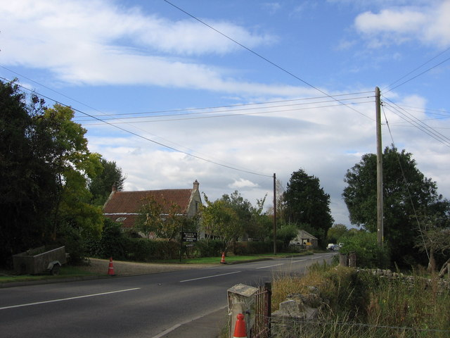
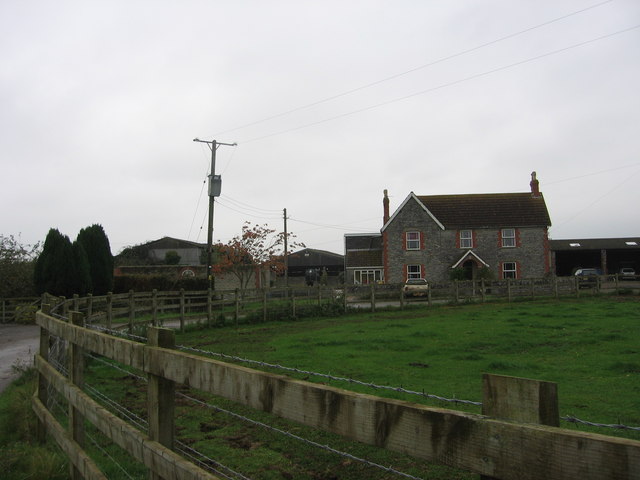
DDDDD is a small village located in Somerset, England. With a population of approximately 500 residents, it is nestled in the picturesque countryside of the county. The village is renowned for its quaint charm, historical significance, and natural beauty.
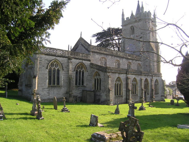
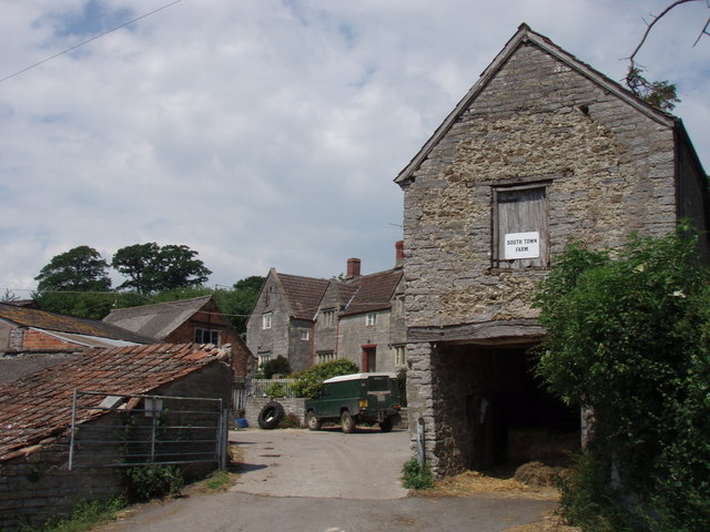
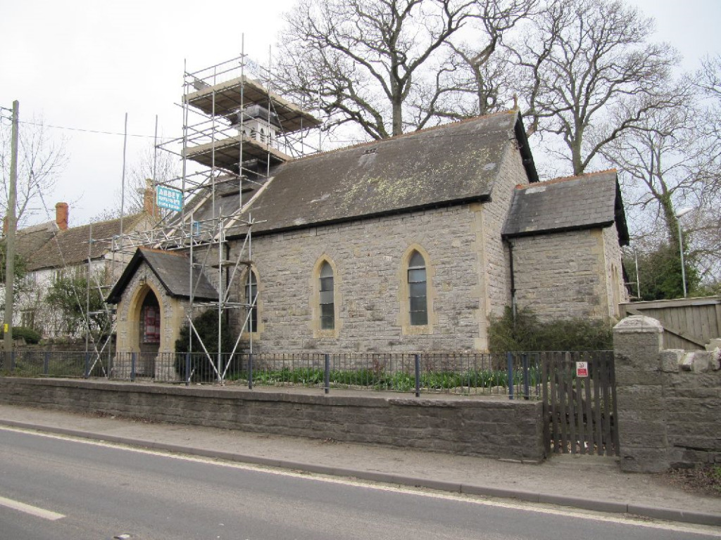
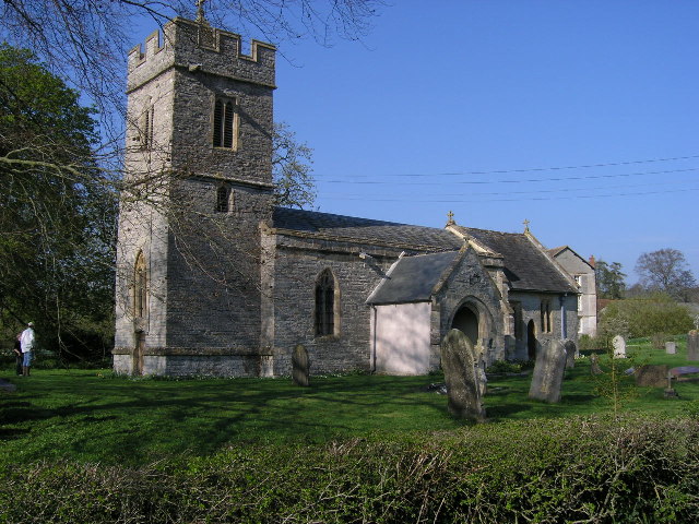
One of the defining features of DDDDD is its rich history. The village dates back to the medieval period and still retains many well-preserved historical buildings. The DDDDD Parish Church, a Grade I listed building, stands as a testament to the village's heritage. Visitors can also explore the ruins of DDDDD Castle, which was once a stronghold during the English Civil War.
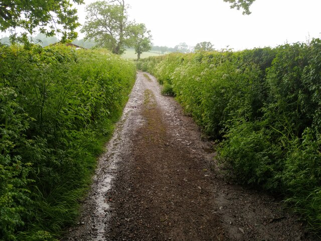
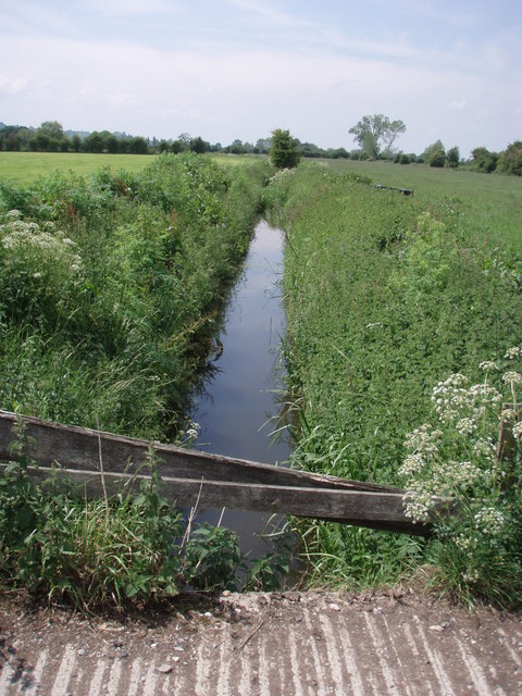
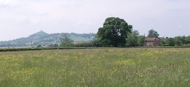
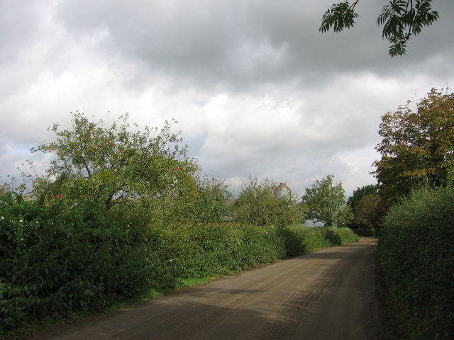
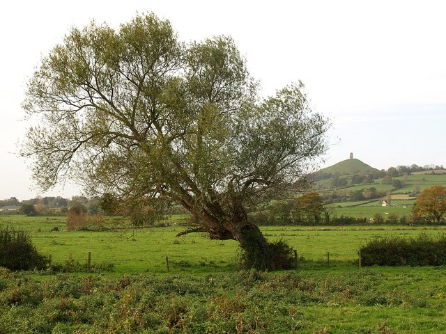
Nature enthusiasts will find themselves captivated by DDDDD's scenic surroundings. The village is surrounded by rolling hills, lush green fields, and meandering streams. The nearby DDDDD Nature Reserve is a haven for wildlife, offering numerous walking trails and birdwatching opportunities.
Despite its small size, DDDDD boasts a vibrant community spirit. The village hosts various events throughout the year, including a summer fair and a Christmas market. The local pub, The DDDDD Arms, is a popular gathering spot for both residents and visitors, offering a warm and welcoming atmosphere.
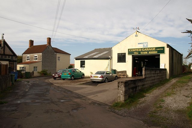
DDDDD is also conveniently located near several attractions. Just a short drive away is the bustling town of Somerset, which offers an array of shops, restaurants, and cultural sites. Additionally, the stunning coastline of the English Channel is within easy reach, providing opportunities for seaside walks and water activities.
In summary, DDDDD, Somerset, is a charming village that seamlessly blends history, natural beauty, and community spirit. Whether you are seeking a tranquil retreat or an exploration of England's past, DDDDD offers a delightful experience for all.
If you have any feedback on the listing, please let us know in the comments section below.
DDDDD Images
Images are sourced within 2km of 51.147461/-2.656464 or Grid Reference ST5438. Thanks to Geograph Open Source API. All images are credited.


DDDDD is located at Grid Ref: ST5438 (Lat: 51.147461, Lng: -2.656464)
Administrative County: Somerset
District: Mendip
Police Authority: Avon and Somerset
What 3 Words
///mimed.cheered.contemplate. Near Glastonbury, Somerset
Nearby Locations
Related Wikis

West Pennard
West Pennard (or West Pennard Manor) is a village and civil parish east of Glastonbury, situated at the foot of Pennard Hill, in Somerset, England. The...

Ponter's Ball Dyke
Ponter's Ball Dyke is a linear earthwork located near Glastonbury in Somerset, England. It crosses, at right angles, an ancient road that continues on...

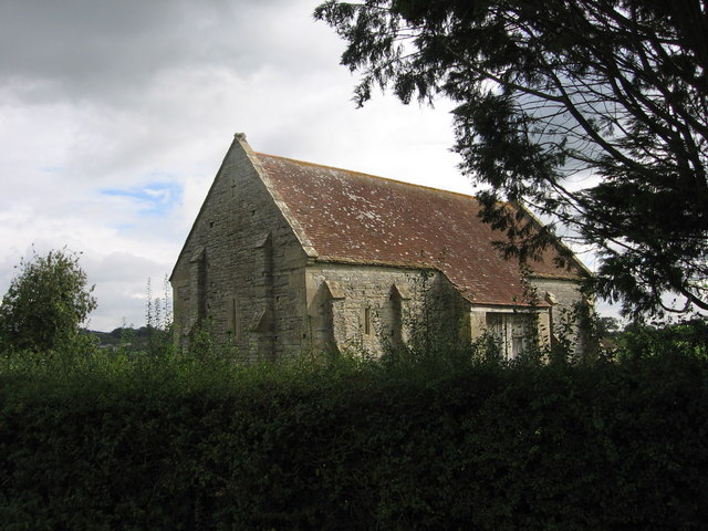
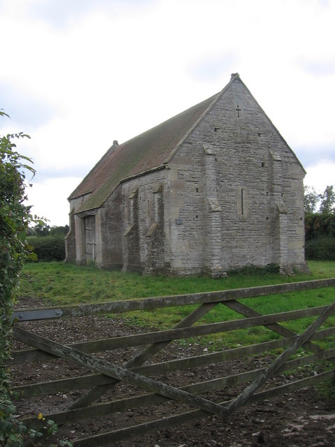
West Pennard Court Barn
West Pennard Court Barn (which is also known as the Court Barn, West Bradley) is a late 14th or early 15th century tithe barn which was built for Glastonbury...

Oaks of Avalon
The Oaks of Avalon is the collective name given to a pair of ancient oak trees, Gog and Magog, that stand in Glastonbury in Somerset, South West England...
St Andrew's Church, Edgarley
St Andrew's Church is a former Church of England mission church in Edgarley, Somerset, England. It was built in 1897 and is now used as a private chapel...
Church of St Andrew, West Bradley
The Anglican Church of St Andrew in West Bradley, within the English county of Somerset, dates from the 14th century. It is a Grade II* listed building...
West Pennard railway station
West Pennard railway station was a station on the Highbridge branch of the Somerset and Dorset Joint Railway. Opened on 3 February 1862, it was reduced...

West Bradley
West Bradley is a village and civil parish 4 miles south-east of Glastonbury in Somerset, England. The parish includes the hamlets of Hornblotton and Lottisham...
Nearby Amenities
Located within 500m of 51.147461,-2.656464Have you been to DDDDD?
Leave your review of DDDDD below (or comments, questions and feedback).