East Street
Settlement in Somerset Mendip
England
East Street
East Street is a charming residential area located in Somerset, England. Situated in the heart of the town, it is a bustling street that exudes a vibrant atmosphere and offers a diverse range of amenities.
The street is lined with a mix of well-maintained Victorian and Georgian houses, showcasing the architectural heritage of the area. Many of these properties have been converted into shops, cafes, and restaurants, adding to the street's appeal. The facades of the buildings are often adorned with colorful flower displays, creating a picturesque setting.
East Street is a hub of activity, particularly during the daytime when locals and tourists flock to explore its various offerings. The street boasts an array of independent boutiques, galleries, and antique shops, making it a haven for shoppers seeking unique and one-of-a-kind finds. Additionally, there are several art studios and workshops, showcasing the talent of local artists and providing a platform for creative expression.
Food enthusiasts will find themselves spoiled for choice on East Street. The street is home to a wide range of eateries, ranging from traditional British pubs serving hearty meals to trendy cafes offering artisanal coffee and pastries. There are also international cuisine options, including Italian, Indian, and Thai restaurants, catering to diverse tastes.
East Street's vibrant atmosphere extends beyond daylight hours, with several pubs and bars offering live music and entertainment in the evenings. The street also hosts various events throughout the year, such as street fairs and food festivals, bringing the community together in celebration.
In summary, East Street is a bustling, picturesque street in Somerset that offers a mix of charming architecture, unique shops, and a vibrant culinary scene. It is a must-visit destination for anyone seeking a taste of local culture and a memorable shopping experience.
If you have any feedback on the listing, please let us know in the comments section below.
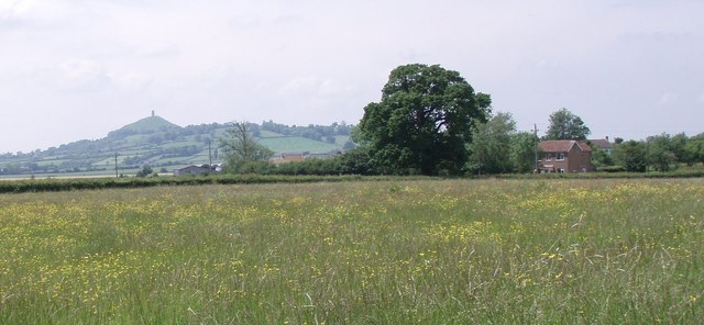
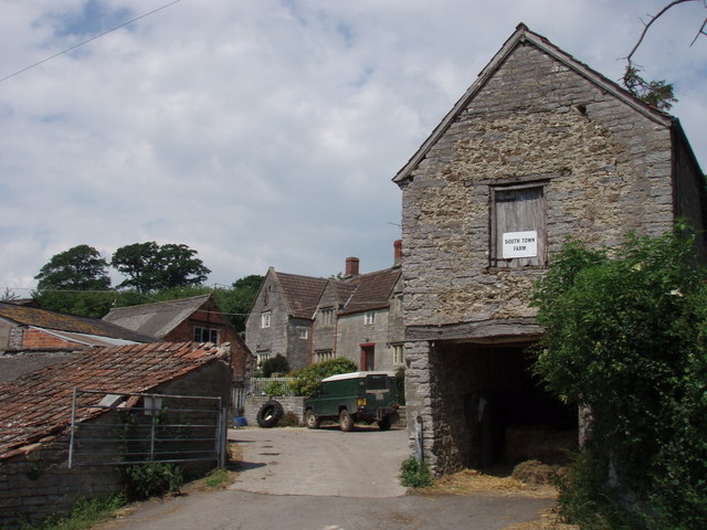
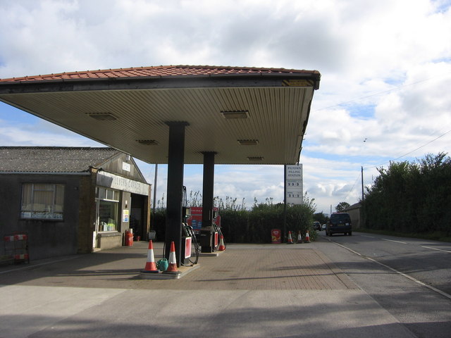
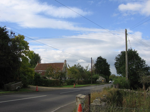
East Street Images
Images are sourced within 2km of 51.147461/-2.656464 or Grid Reference ST5438. Thanks to Geograph Open Source API. All images are credited.


East Street is located at Grid Ref: ST5438 (Lat: 51.147461, Lng: -2.656464)
Administrative County: Somerset
District: Mendip
Police Authority: Avon and Somerset
What 3 Words
///mimed.cheered.contemplate. Near Glastonbury, Somerset
Nearby Locations
Related Wikis

West Pennard
West Pennard (or West Pennard Manor) is a village and civil parish east of Glastonbury, situated at the foot of Pennard Hill, in Somerset, England. The...

Ponter's Ball Dyke
Ponter's Ball Dyke is a linear earthwork located near Glastonbury in Somerset, England. It crosses, at right angles, an ancient road that continues on...

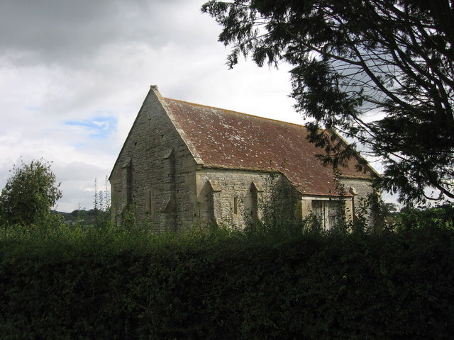
West Pennard Court Barn
West Pennard Court Barn (which is also known as the Court Barn, West Bradley) is a late 14th or early 15th century tithe barn which was built for Glastonbury...

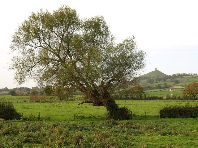
Oaks of Avalon
The Oaks of Avalon is the collective name given to a pair of ancient oak trees, Gog and Magog, that stand in Glastonbury in Somerset, South West England...
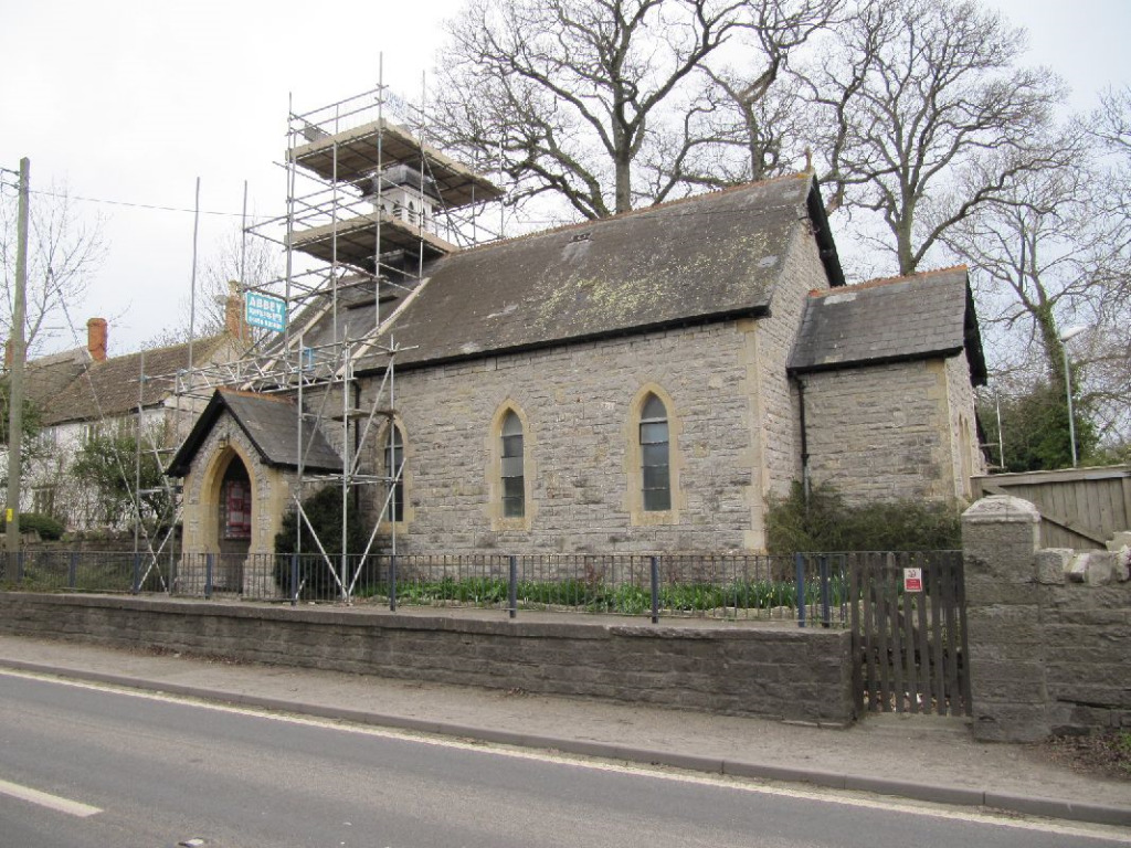
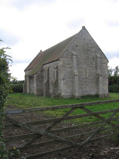
St Andrew's Church, Edgarley
St Andrew's Church is a former Church of England mission church in Edgarley, Somerset, England. It was built in 1897 and is now used as a private chapel...
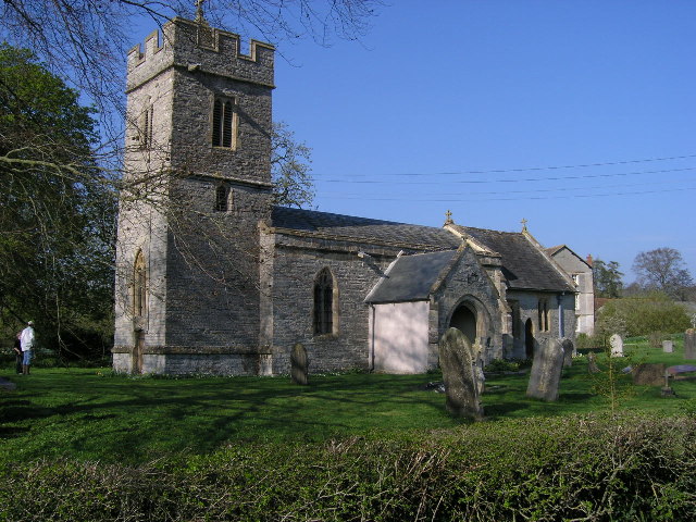
Church of St Andrew, West Bradley
The Anglican Church of St Andrew in West Bradley, within the English county of Somerset, dates from the 14th century. It is a Grade II* listed building...
West Pennard railway station
West Pennard railway station was a station on the Highbridge branch of the Somerset and Dorset Joint Railway. Opened on 3 February 1862, it was reduced...

West Bradley
West Bradley is a village and civil parish 4 miles south-east of Glastonbury in Somerset, England. The parish includes the hamlets of Hornblotton and Lottisham...
Nearby Amenities
Located within 500m of 51.147461,-2.656464Have you been to East Street?
Leave your review of East Street below (or comments, questions and feedback).