Longbeer Copse
Wood, Forest in Surrey Waverley
England
Longbeer Copse
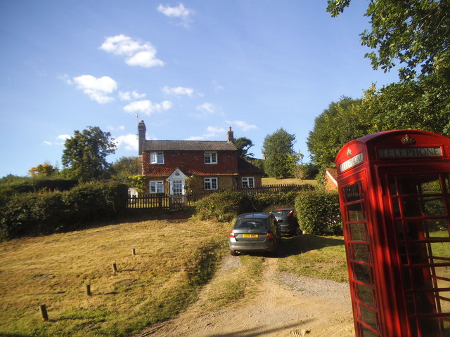
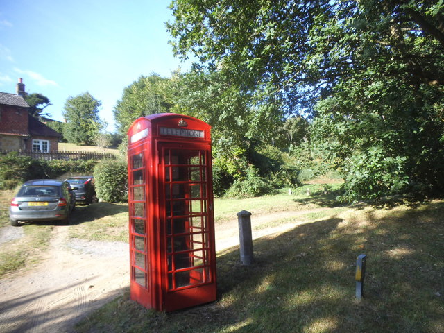
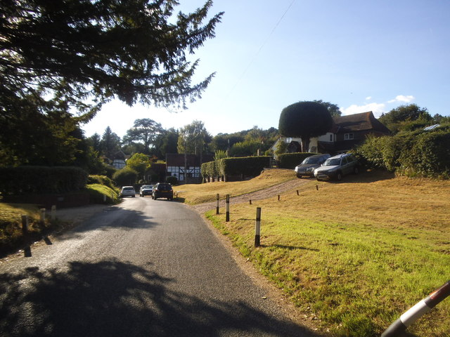
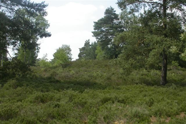
Longbeer Copse is a picturesque woodland located in Surrey, England. Covering an area of approximately 50 acres, it is a well-preserved example of a traditional English forest. The copse is situated near the village of Longbeer, which is known for its scenic surroundings and rich natural heritage.
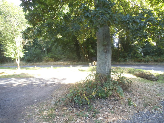
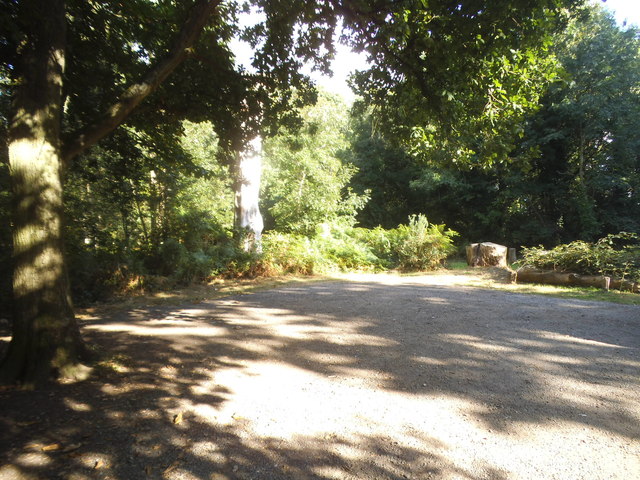
The woodland is composed of a diverse range of tree species, including oak, beech, and birch. These tall, majestic trees create a dense canopy that provides shade and shelter for a variety of wildlife. The forest floor is adorned with a carpet of moss, ferns, and wildflowers, adding to the overall beauty of the copse.
Longbeer Copse is home to numerous animal species, making it a popular destination for nature enthusiasts and wildlife photographers. Visitors may spot deer, foxes, rabbits, and a wide variety of bird species, including woodpeckers and owls. It is also a habitat for several rare and endangered species, such as the dormouse and the silver-washed fritillary butterfly.
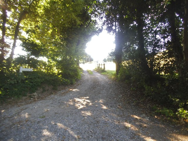
The copse offers several walking trails, allowing visitors to explore its natural wonders at their own pace. These trails wind through the woodland, offering glimpses of hidden ponds, babbling brooks, and ancient trees. There are also designated picnic areas where visitors can relax and enjoy the tranquility of the forest.
Longbeer Copse is a true gem of Surrey, offering a peaceful retreat from the hustle and bustle of everyday life. With its stunning scenery and abundant wildlife, it is a must-visit destination for nature lovers and those seeking a connection with the natural world.
If you have any feedback on the listing, please let us know in the comments section below.
Longbeer Copse Images
Images are sourced within 2km of 51.136872/-0.67779237 or Grid Reference SU9238. Thanks to Geograph Open Source API. All images are credited.


Longbeer Copse is located at Grid Ref: SU9238 (Lat: 51.136872, Lng: -0.67779237)
Administrative County: Surrey
District: Waverley
Police Authority: Surrey
What 3 Words
///clipboard.pasting.workbook. Near Wormley, Surrey
Nearby Locations
Related Wikis

Brook, Surrey
Brook is a hamlet in the civil parish of Witley in the Waverley district in south-west Surrey. It is in the far west of Wormley, beyond Sandhills with...

Brook Brick Pit
Brook Brick Pit is a 0.9-hectare (2.2-acre) geological Site of Special Scientific Interest west of Wormley Surrey. It is a Geological Conservation Review...
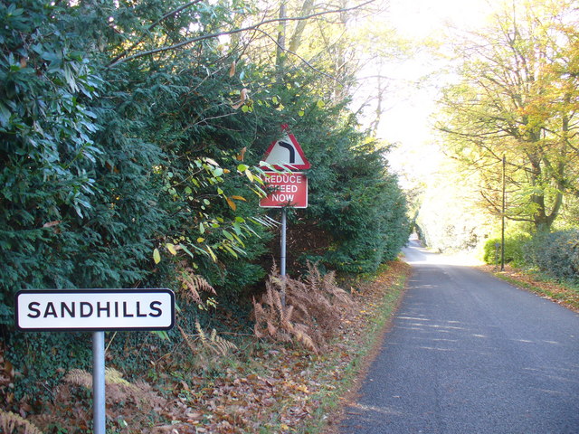
Sandhills, Surrey
Sandhills is a small hamlet located between the villages of Wormley and Brook in Surrey, UK. It is part of the Surrey Hills Area of Outstanding Beauty...
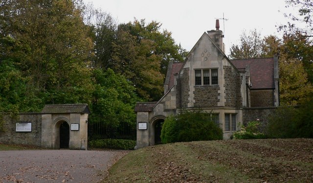
Witley Park
Witley Park, formerly known as Lea Park, is an estate dating from the 19th-century between Godalming and Haslemere, Surrey, England. Its landscaped grounds...

Witley Camp
Witley Military Camp, often simplified to Camp Witley, was a temporary army camp set up on Witley Common, Surrey, England during both the First and Second...
Witley Common
Witley Common is an area of woodland and heath, close to Witley, Surrey, in the United Kingdom. It is part of a much larger Site of Special Scientific...

South West Surrey (UK Parliament constituency)
South West Surrey is a constituency represented in the House of Commons of the UK Parliament. Since 2005, the seat has been represented by Conservative...

Wormley, Surrey
Wormley is a village in Surrey, England in the parish of Witley, around Witley station, off the A283 Petworth Road about 5 km (3.1 mi) SSW of Godalming...
Nearby Amenities
Located within 500m of 51.136872,-0.67779237Have you been to Longbeer Copse?
Leave your review of Longbeer Copse below (or comments, questions and feedback).