West Firs
Wood, Forest in Surrey Waverley
England
West Firs
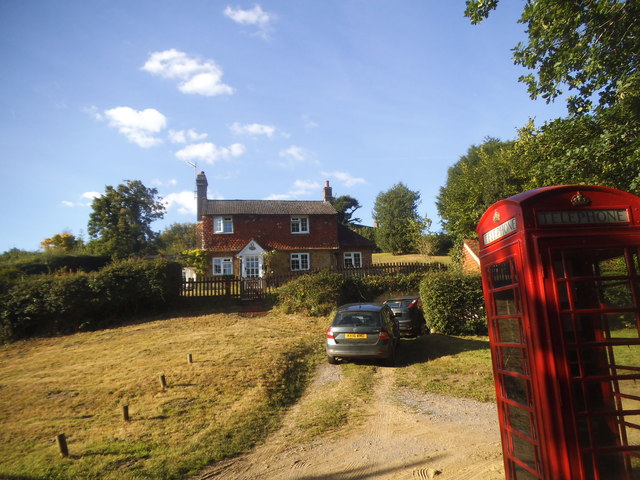
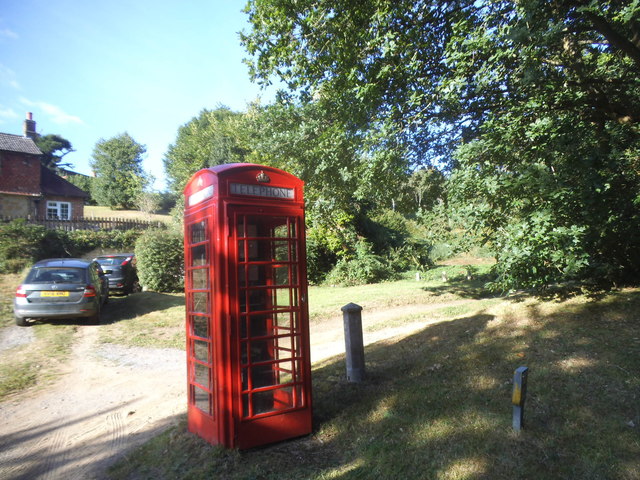
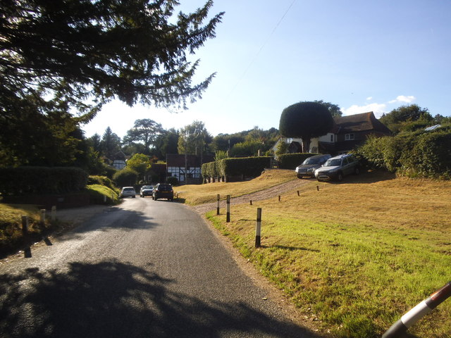
West Firs, Surrey (Wood, Forest) is a charming village located in the southeastern county of Surrey, England. Situated amidst a picturesque landscape, the village is nestled within a dense forest, offering residents and visitors a tranquil and idyllic setting.
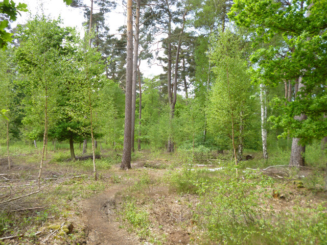
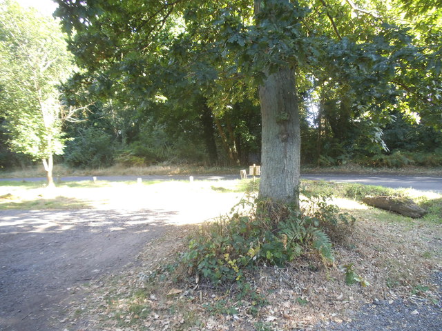
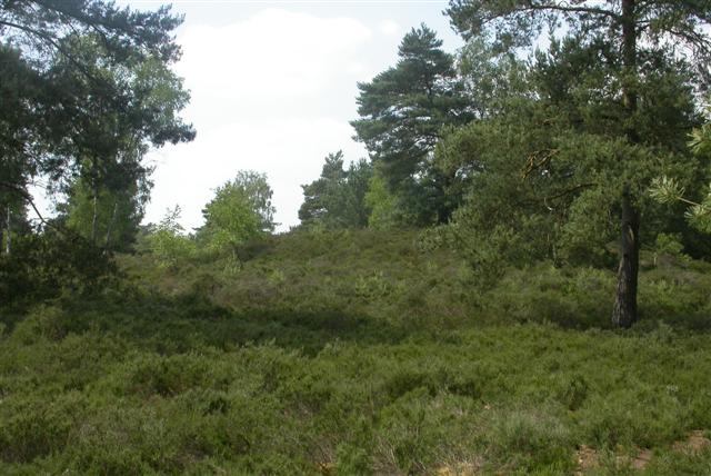
The village takes its name from the abundance of fir trees that populate the surrounding woodlands. These evergreen trees provide a stunning backdrop to the village, with their tall, slender trunks and vibrant green foliage.
West Firs is known for its close-knit community and traditional charm. The village is dotted with quaint cottages, many of which date back several centuries, showcasing the rich history and heritage of the area. The architectural style of these buildings adds to the village's character, with their thatched roofs, exposed beams, and colorful flower gardens.
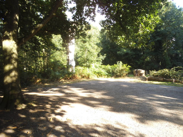
The village is home to a handful of local amenities, including a cozy village pub, a small grocery store, and a charming village hall that hosts various community events throughout the year. The surrounding forest offers ample opportunities for outdoor activities, such as hiking, cycling, and wildlife spotting.
Despite its peaceful and rural setting, West Firs benefits from its proximity to larger towns and cities. The nearby town of Guildford provides residents with a wider range of amenities, including shops, restaurants, and leisure facilities. Additionally, the village enjoys good transport links, with easy access to major roads and public transportation, allowing for convenient travel to neighboring areas.
In summary, West Firs, Surrey (Wood, Forest) offers a serene and picturesque village setting, surrounded by lush greenery and a rich history. It is an ideal place for those seeking a peaceful countryside lifestyle while still having access to modern amenities and nearby urban centers.
If you have any feedback on the listing, please let us know in the comments section below.
West Firs Images
Images are sourced within 2km of 51.142544/-0.67682979 or Grid Reference SU9238. Thanks to Geograph Open Source API. All images are credited.


West Firs is located at Grid Ref: SU9238 (Lat: 51.142544, Lng: -0.67682979)
Administrative County: Surrey
District: Waverley
Police Authority: Surrey
What 3 Words
///rail.excusing.pitchers. Near Wormley, Surrey
Nearby Locations
Related Wikis
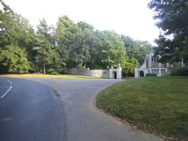
Witley Park
Witley Park, formerly known as Lea Park, is an estate dating from the 19th-century between Godalming and Haslemere, Surrey, England. Its landscaped grounds...

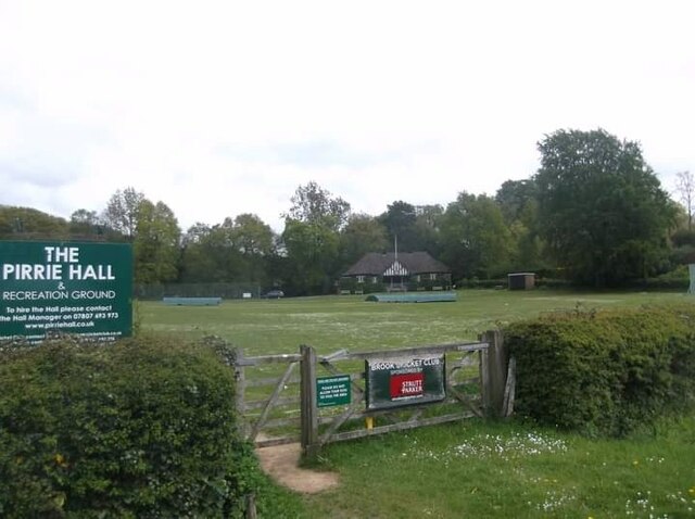
Brook, Surrey
Brook is a hamlet in the civil parish of Witley in the Waverley district in south-west Surrey. It is in the far west of Wormley, beyond Sandhills with...

Brook Brick Pit
Brook Brick Pit is a 0.9-hectare (2.2-acre) geological Site of Special Scientific Interest west of Wormley Surrey. It is a Geological Conservation Review...
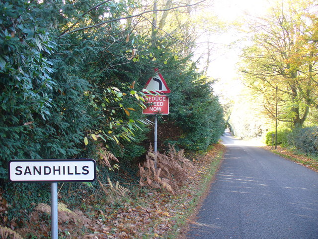
Sandhills, Surrey
Sandhills is a small hamlet located between the villages of Wormley and Brook in Surrey, UK. It is part of the Surrey Hills Area of Outstanding Beauty...

Witley Camp
Witley Military Camp, often simplified to Camp Witley, was a temporary army camp set up on Witley Common, Surrey, England during both the First and Second...
Witley Common
Witley Common is an area of woodland and heath, close to Witley, Surrey, in the United Kingdom. It is part of a much larger Site of Special Scientific...

South West Surrey (UK Parliament constituency)
South West Surrey is a constituency represented in the House of Commons of the UK Parliament. Since 2005, the seat has been represented by Conservative...

Thursley
Thursley is a village and civil parish in southwest Surrey, west of the A3 between Milford and Hindhead. An associated hamlet is Bowlhead Green. To the...
Nearby Amenities
Located within 500m of 51.142544,-0.67682979Have you been to West Firs?
Leave your review of West Firs below (or comments, questions and feedback).