Tapp's Plantation
Wood, Forest in Lincolnshire South Kesteven
England
Tapp's Plantation
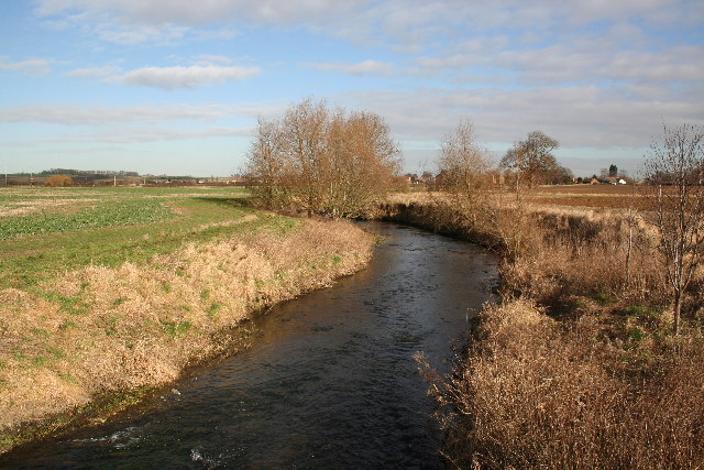
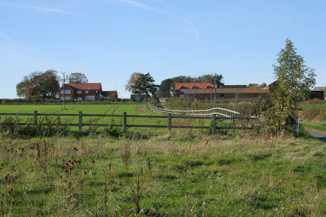
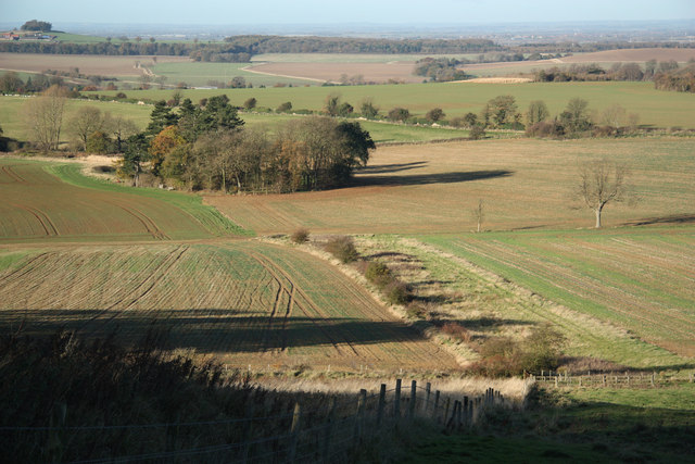
Tapp's Plantation is a historic and picturesque location situated in Lincolnshire, England. Nestled within a dense woodland, the plantation is renowned for its natural beauty and rich history.
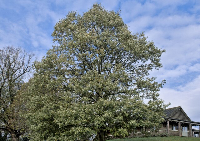
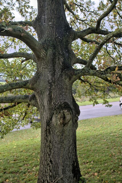
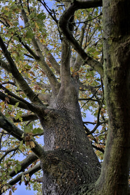
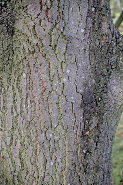
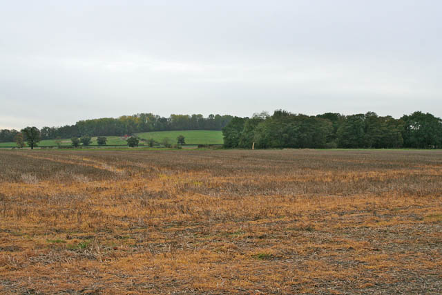
Covering a vast area of approximately 100 acres, Tapp's Plantation is home to a diverse range of flora and fauna. The woodland consists primarily of oak, beech, and pine trees, creating a serene and tranquil environment. The plantation is also home to various species of birds, small mammals, and insects, making it a popular spot for nature enthusiasts and wildlife photographers.
The history of Tapp's Plantation dates back several centuries. It was originally established as a timber plantation in the 18th century, serving as a source of timber for the local community. Over the years, the plantation has undergone various transformations and is now primarily maintained for its ecological and recreational value.
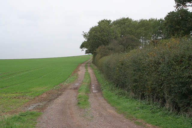
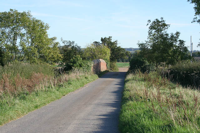
Visitors to Tapp's Plantation can enjoy a range of activities. The plantation features well-maintained walking trails, offering visitors the opportunity to explore the woodland and immerse themselves in nature. The trails are suitable for all ages and fitness levels, making it an ideal destination for families and individuals alike.
Tapp's Plantation also offers designated picnic areas, providing a perfect spot for visitors to relax and enjoy the peaceful surroundings. Additionally, the plantation hosts educational programs and guided tours, allowing visitors to learn about the unique ecosystem and history of the area.
Overall, Tapp's Plantation is a stunning and historically significant location, offering visitors a chance to connect with nature and appreciate the beauty of Lincolnshire's woodlands.
If you have any feedback on the listing, please let us know in the comments section below.
Tapp's Plantation Images
Images are sourced within 2km of 52.942835/-0.62756148 or Grid Reference SK9239. Thanks to Geograph Open Source API. All images are credited.


Tapp's Plantation is located at Grid Ref: SK9239 (Lat: 52.942835, Lng: -0.62756148)
Administrative County: Lincolnshire
District: South Kesteven
Police Authority: Lincolnshire
What 3 Words
///flashing.deaf.earphones. Near Great Gonerby, Lincolnshire
Nearby Locations
Related Wikis
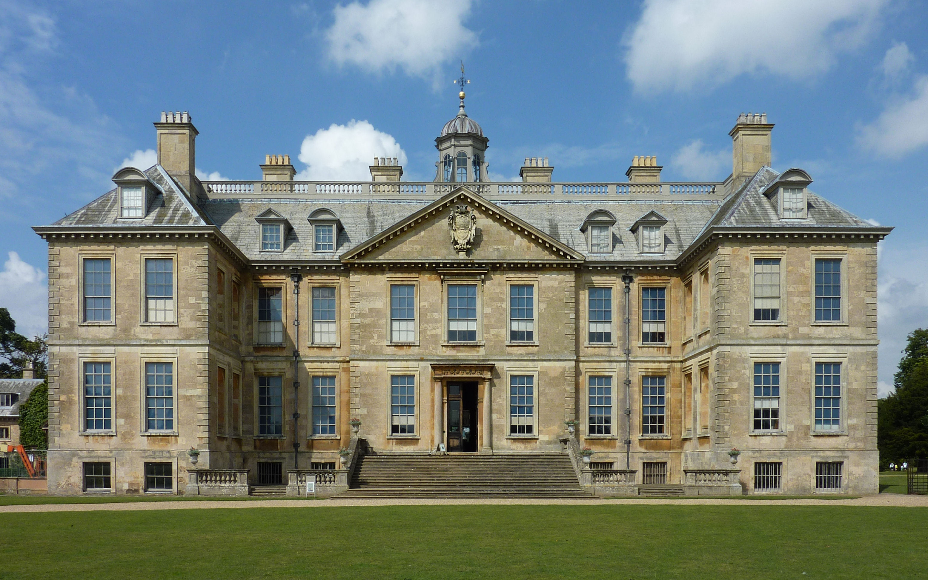
Belton House
Belton House is a Grade I listed country house in the parish of Belton near Grantham in Lincolnshire, England, built between 1685 and 1687 by Sir John...

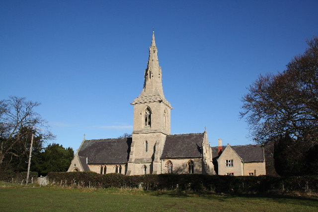
St Peter and St Paul's Church, Belton
The Church of St Peter and St Paul, Belton, South Kesteven, Lincolnshire is a functioning parish church and a Grade I listed building. Since the 17th century...

Belton, South Kesteven
Belton is a village in the civil parish of Belton and Manthorpe, in the South Kesteven district of Lincolnshire, England. It is situated on the A607 road...
Belton and Manthorpe
Belton and Manthorpe is a civil parish in the South Kesteven district of Lincolnshire, England, consisting of Belton and Manthorpe, just north of Grantham...

Belton House Boathouse
The Boathouse on Boathouse Pond, Belton House, Belton, Lincolnshire was designed by Anthony Salvin in 1838–1839. It is a Grade II listed building. ��2...
Manthorpe, Grantham
Manthorpe is a village in the South Kesteven district of Lincolnshire, England. It is on the northern edge of the town of Grantham and on the Grantham...

Syston, Lincolnshire
Syston is a village and civil parish in the South Kesteven district of Lincolnshire, England. The population of the civil parish was 162 at the 2011 census...

Murder of Julie Pacey
The murder of Julie Pacey (1955/1956 – 26 September 1994) was a mysterious, and still unsolved, murder of a mother in her own home in Grantham, England...
Nearby Amenities
Located within 500m of 52.942835,-0.62756148Have you been to Tapp's Plantation?
Leave your review of Tapp's Plantation below (or comments, questions and feedback).