Backleys Wood
Wood, Forest in Yorkshire Scarborough
England
Backleys Wood
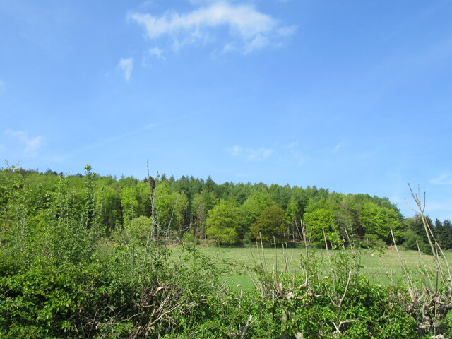
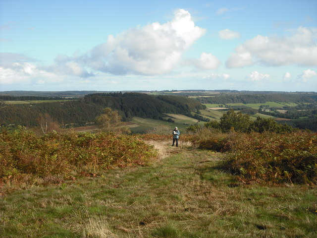
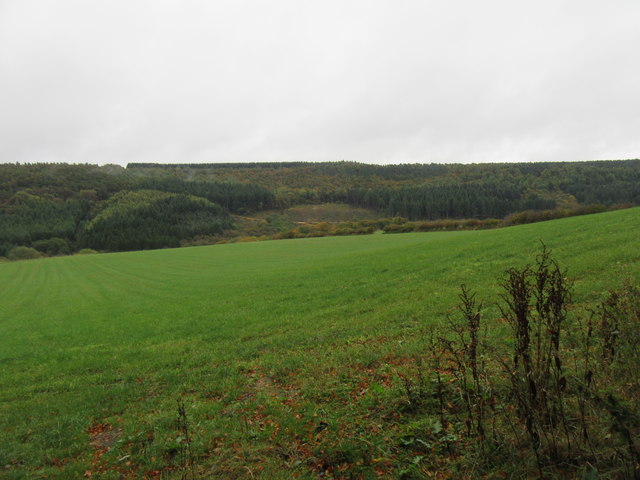
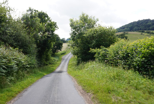
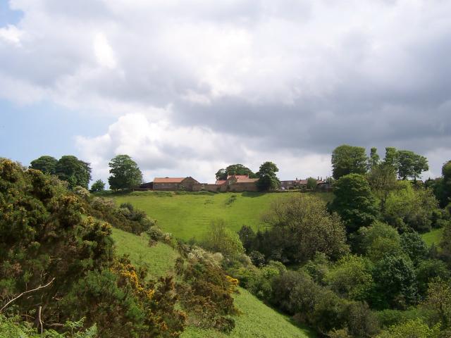
Backleys Wood is a picturesque woodland located in the county of Yorkshire, England. Covering an area of approximately 50 acres, this enchanting forest is a popular destination for nature enthusiasts and outdoor lovers. Situated in a rural setting, the wood is surrounded by rolling hills and offers visitors a serene and tranquil environment.
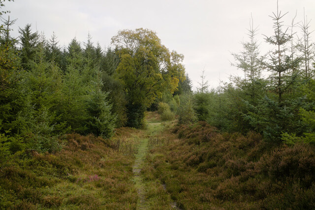
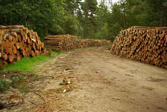
The wood is predominantly composed of deciduous trees, with a rich variety of species including oak, beech, birch, and ash. These trees provide a vibrant display of colors throughout the year, particularly during the autumn months when the leaves transform into shades of red, orange, and gold. The dense canopy created by the foliage offers shade on sunny days and shelters the woodland floor, which is carpeted with a lush undergrowth of ferns, wildflowers, and mosses.
Backleys Wood is home to a diverse range of wildlife, making it a haven for animal enthusiasts. Red squirrels can often be spotted scampering through the treetops, while badgers and foxes roam the forest floor. A variety of bird species can be observed, including woodpeckers, owls, and various songbirds.
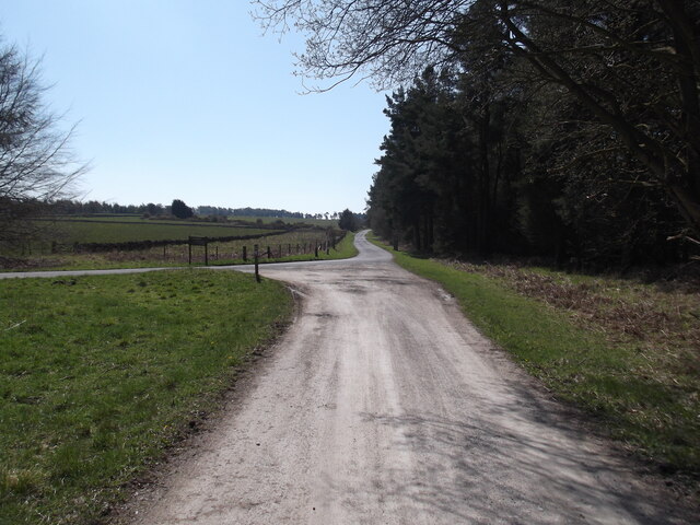
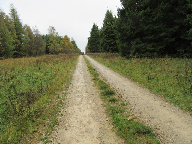
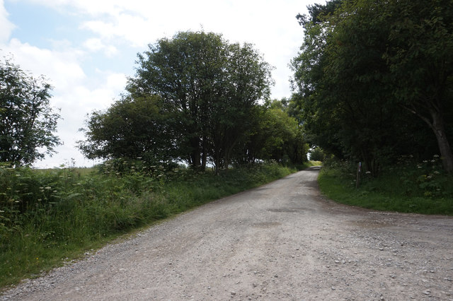
For visitors seeking outdoor activities, Backleys Wood offers numerous walking trails and pathways, allowing visitors to explore its natural beauty. The wood is also equipped with benches and picnic areas, providing the perfect spot for a leisurely lunch or a peaceful break amidst nature.
Overall, Backleys Wood in Yorkshire is a captivating woodland that offers a delightful escape from the hustle and bustle of everyday life. Its stunning landscapes, diverse flora and fauna, and tranquil ambiance make it a must-visit destination for anyone seeking a connection with nature.
If you have any feedback on the listing, please let us know in the comments section below.
Backleys Wood Images
Images are sourced within 2km of 54.297503/-0.58944909 or Grid Reference SE9190. Thanks to Geograph Open Source API. All images are credited.


Backleys Wood is located at Grid Ref: SE9190 (Lat: 54.297503, Lng: -0.58944909)
Division: North Riding
Administrative County: North Yorkshire
District: Scarborough
Police Authority: North Yorkshire
What 3 Words
///transcribes.encroach.adopt. Near East Ayton, North Yorkshire
Nearby Locations
Related Wikis

Darncombe-cum-Langdale End
Darncombe-cum-Langdale End is a civil parish in the former Scarborough district of North Yorkshire, England. According to the 2001 UK census, Darncombe...

Broxa-cum-Troutsdale
Broxa-cum-Troutsdale is a civil parish in the Scarborough district of North Yorkshire, England. The population as of the 2011 census remained less than...
Broxa, North Yorkshire
Broxa is a village in the Scarborough district of North Yorkshire, England, within the North York Moors National Park. The village is 6.2 miles (10 km...
Wykeham Forest
Wykeham Forest is a 2,760-acre (1,115-hectare) woodland 6 miles (9.7 km) in the North York Moors National Park, near to Wykeham, west of Scarborough, England...
Nearby Amenities
Located within 500m of 54.297503,-0.58944909Have you been to Backleys Wood?
Leave your review of Backleys Wood below (or comments, questions and feedback).