Highfield Copse
Wood, Forest in Surrey Guildford
England
Highfield Copse
Highfield Copse is a picturesque woodland located in Surrey, England. Covering an area of approximately 50 acres, it is a popular destination for nature enthusiasts and those seeking tranquility amidst the beautiful countryside.
The copse is primarily composed of native broadleaf trees, such as oak, beech, and birch, which create a dense and lush canopy overhead. This provides a haven for a wide variety of wildlife, including deer, foxes, and numerous bird species. The forest floor is adorned with a carpet of wildflowers during the spring and summer months, adding bursts of color to the landscape.
Walking trails wind their way through the copse, offering visitors the opportunity to explore the natural beauty at their own pace. These paths are well-maintained and suitable for all ages and abilities. Along the way, benches and picnic areas are strategically placed, providing resting spots and the chance to enjoy a picnic surrounded by nature.
Highfield Copse is also home to a small pond, which serves as a watering hole for animals and attracts a range of aquatic life. The pond is a popular spot for birdwatching and observing dragonflies and other insects.
Managed by a local conservation organization, Highfield Copse is carefully preserved to protect its ecological significance. Regular maintenance ensures the copse remains a thriving habitat for wildlife and a peaceful escape for visitors.
Overall, Highfield Copse is a hidden gem in Surrey, offering a serene and enchanting woodland experience for all who visit.
If you have any feedback on the listing, please let us know in the comments section below.
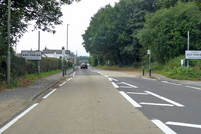
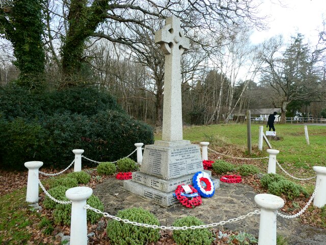
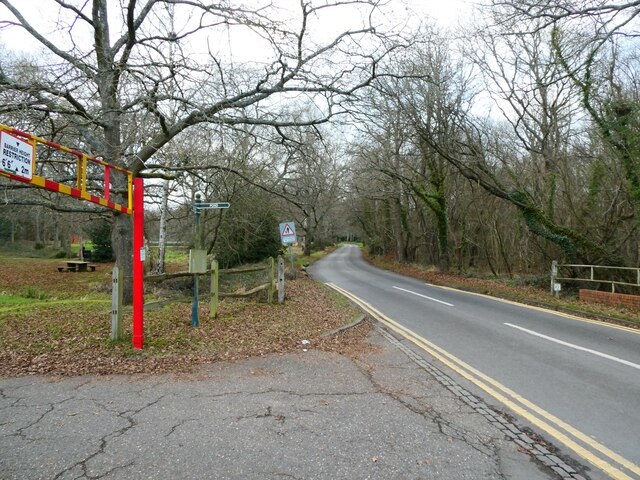
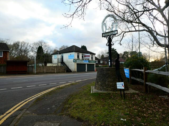
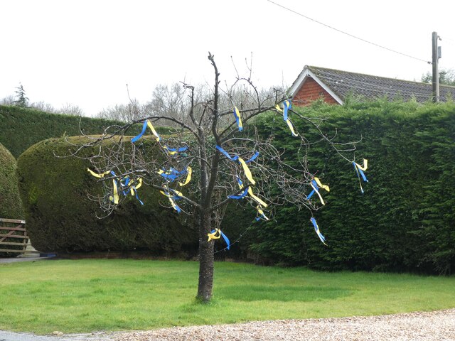
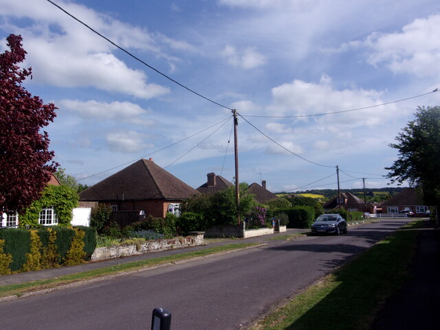
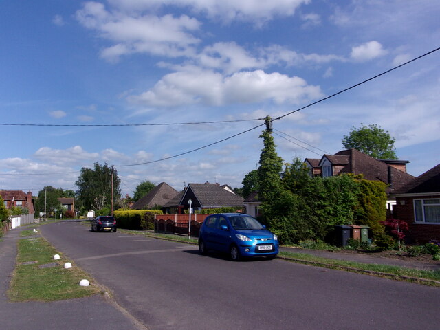
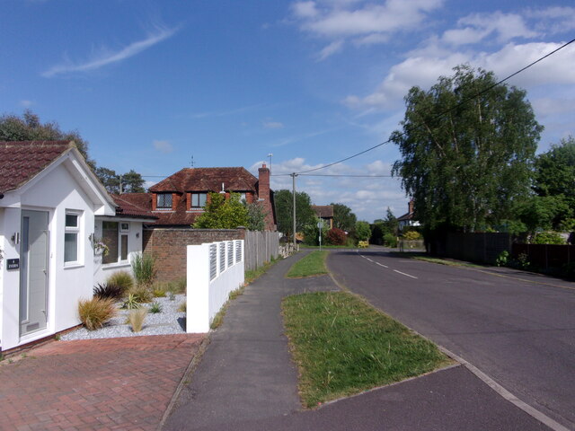
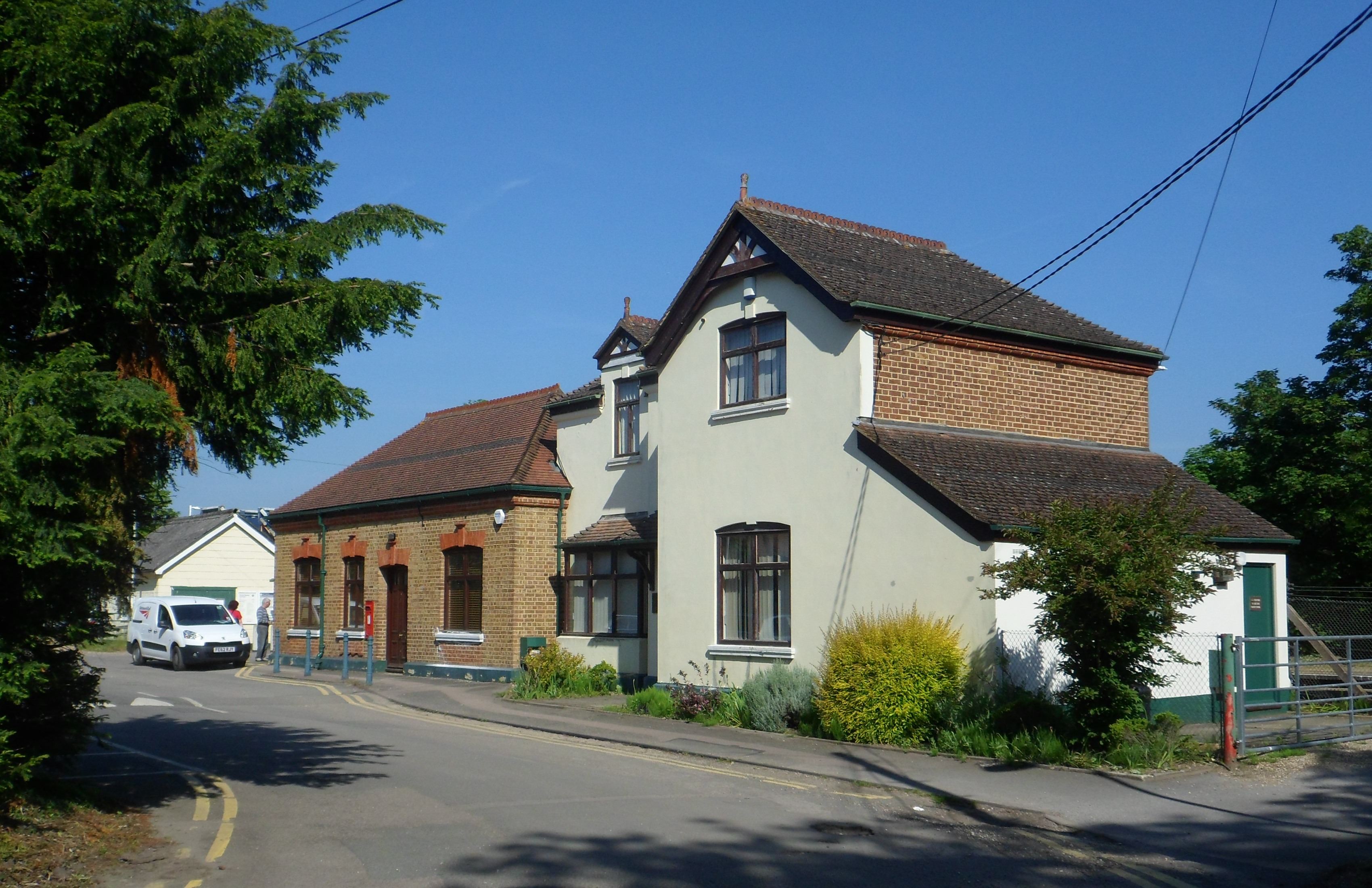
Highfield Copse Images
Images are sourced within 2km of 51.242018/-0.68717244 or Grid Reference SU9150. Thanks to Geograph Open Source API. All images are credited.


Highfield Copse is located at Grid Ref: SU9150 (Lat: 51.242018, Lng: -0.68717244)
Administrative County: Surrey
District: Guildford
Police Authority: Surrey
What 3 Words
///shopping.hairstyle.glaze. Near Normandy, Surrey
Nearby Locations
Related Wikis
2007 United Kingdom foot-and-mouth outbreak
The 2007 United Kingdom foot-and-mouth outbreak occurred when the discharge of infectious effluent from a laboratory in Surrey led to foot-and-mouth disease...
Wanborough railway station
Wanborough railway station is in Flexford, Surrey, England. It serves the villages of Normandy to the north and Wanborough to the south. South Western...

Ash Green Halt railway station
Ash Green Halt railway station known for a time as Ash Green, served the village of Ash, Surrey in England on the original route of the Alton Line which...
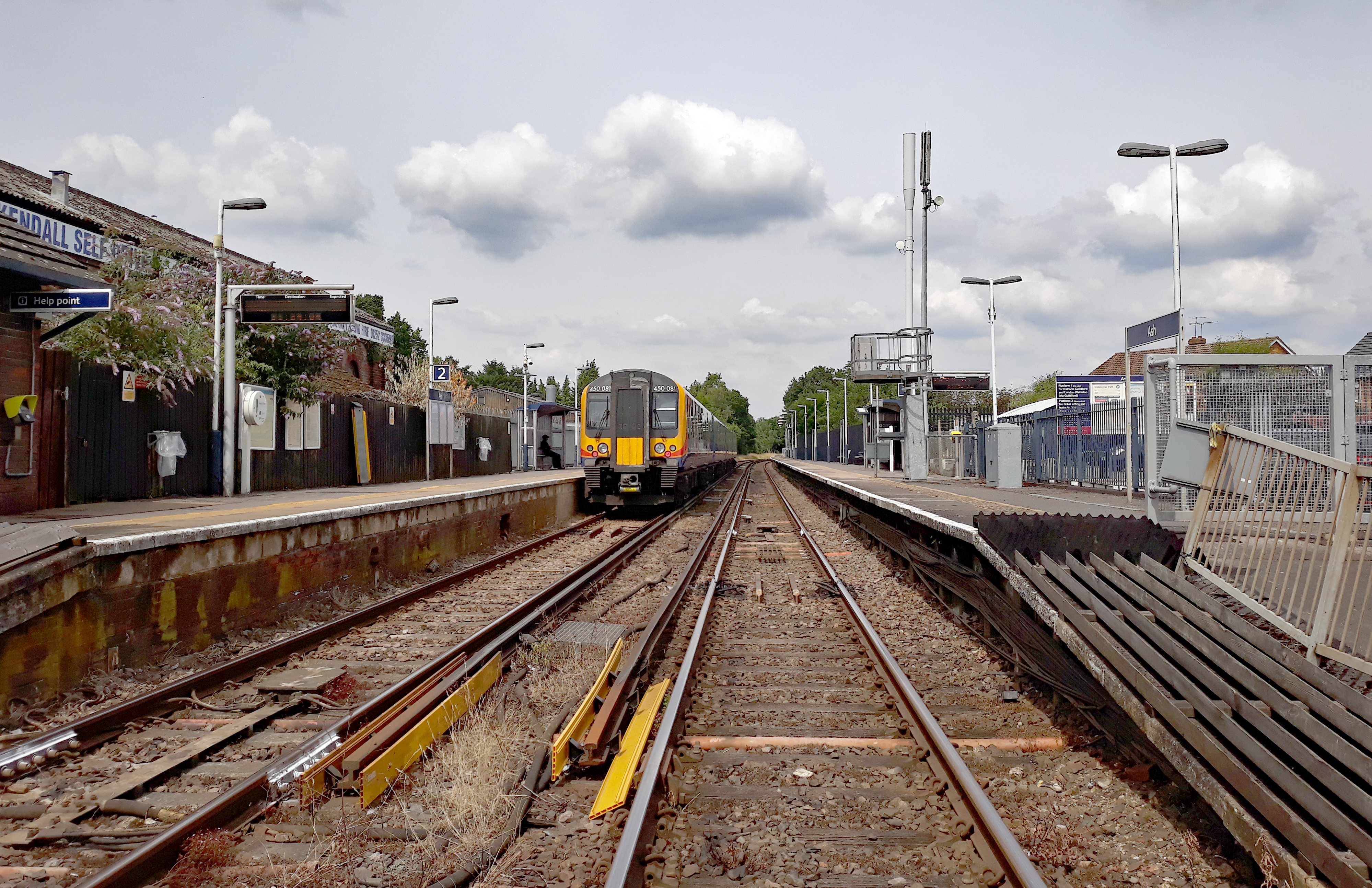
Ash railway station
Ash railway station serves the village of Ash in Surrey, England. The station is served by South Western Railway, who manage the station, and by Great...
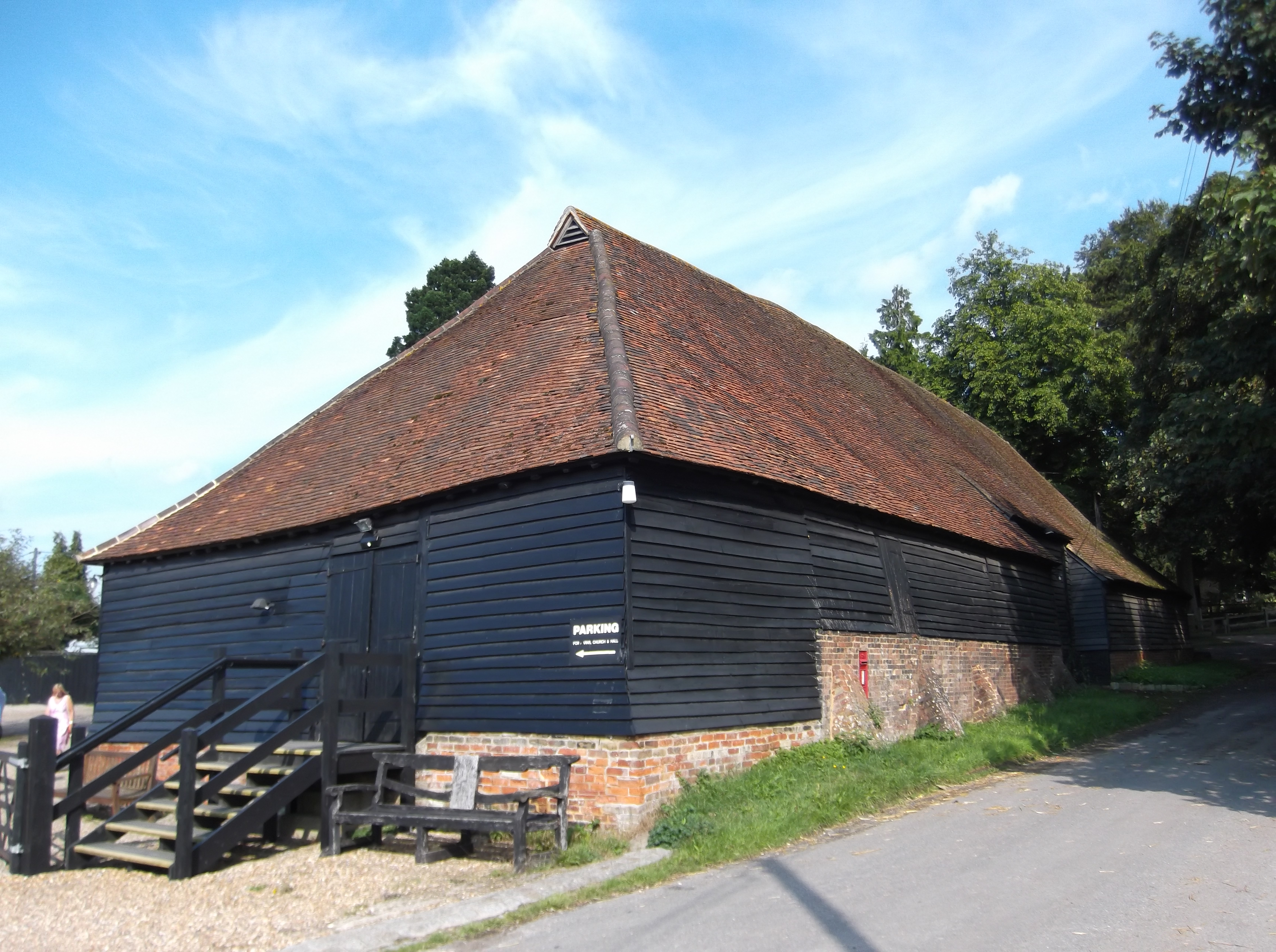
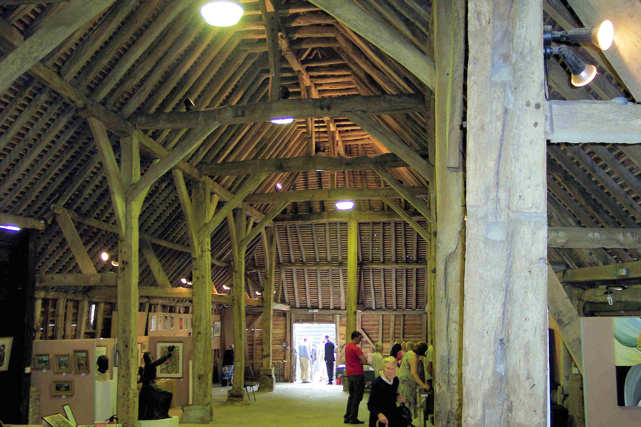
Wanborough Grange
Wanborough Grange refers to an existing late medieval barn and formerly its surrounding monastic grange in Wanborough, Surrey, England. == History == The...
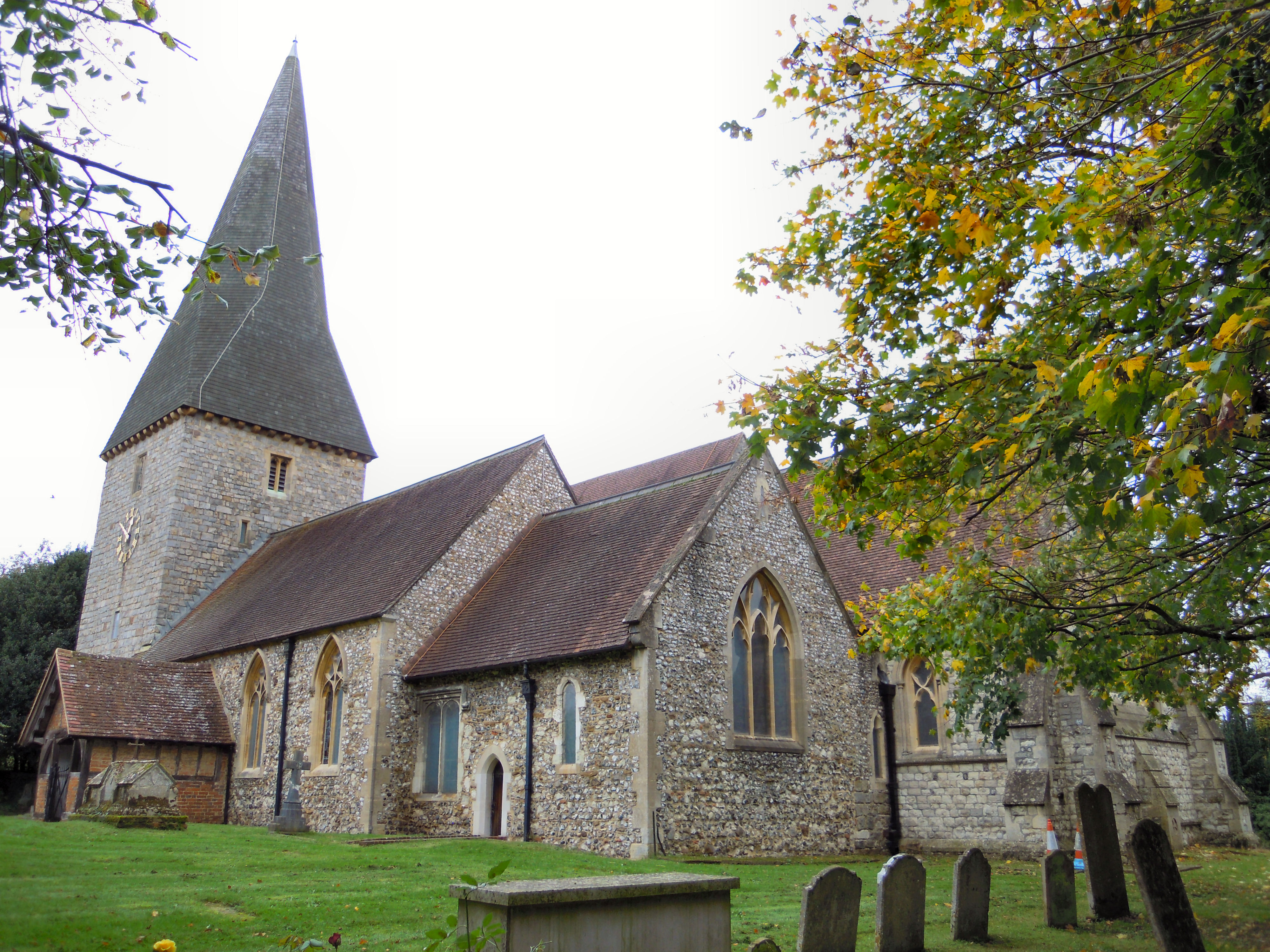
St Peter's church, Ash
St Peter's church is the Church of England parish church for the village of Ash in Surrey. Of 12th-century origin with later additions, the church has...
Wanborough, Surrey
Wanborough () is a rural village and civil parish in Surrey approximately 4 miles (6 km) west of Guildford on the northern slopes of the Hog's Back. Wanborough...

Ash Cemetery, Surrey
Ash Cemetery, also known as Emery Gates Cemetery on Church Road is the burial ground for the village of Ash in Surrey, England. == History == At a meeting...
Nearby Amenities
Located within 500m of 51.242018,-0.68717244Have you been to Highfield Copse?
Leave your review of Highfield Copse below (or comments, questions and feedback).