Kiln Copse
Wood, Forest in Surrey Guildford
England
Kiln Copse
Kiln Copse is a picturesque woodland located in Surrey, England. Covering an area of approximately 30 hectares, it is known for its natural beauty and diverse range of flora and fauna. The copse is situated on the outskirts of a small village, providing a tranquil and secluded environment for visitors to enjoy.
The woodland is primarily composed of native broadleaf trees, including oak, ash, and beech, which create a vibrant canopy during the summer months. The forest floor is covered with a thick carpet of ferns, moss, and wildflowers, adding to the area's enchanting atmosphere. Additionally, several small streams meander through the copse, providing a source of water for the surrounding vegetation.
Kiln Copse is home to a variety of wildlife species, making it a popular destination for nature enthusiasts. Birdwatchers can spot a wide range of species, such as woodpeckers, owls, and thrushes, while small mammals like foxes, badgers, and squirrels can be observed scurrying through the undergrowth. The copse is also a haven for insects, including butterflies and bees, which are attracted to the abundant wildflowers.
The woodland offers several well-maintained walking trails, allowing visitors to explore its beauty at their own pace. These paths wind through the ancient trees, offering breathtaking views and opportunities for peaceful contemplation. Kiln Copse is a cherished natural gem in Surrey, providing a serene escape from the hustle and bustle of everyday life.
If you have any feedback on the listing, please let us know in the comments section below.
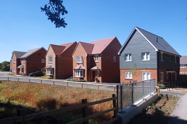
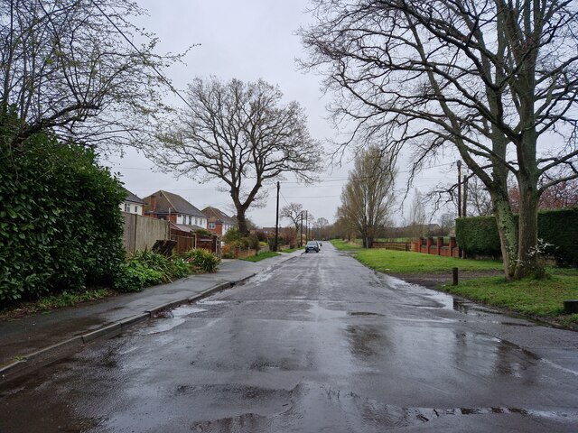
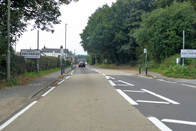
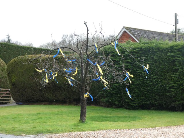
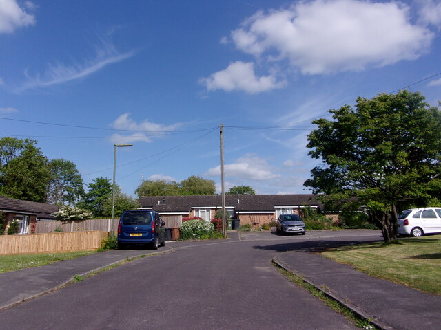
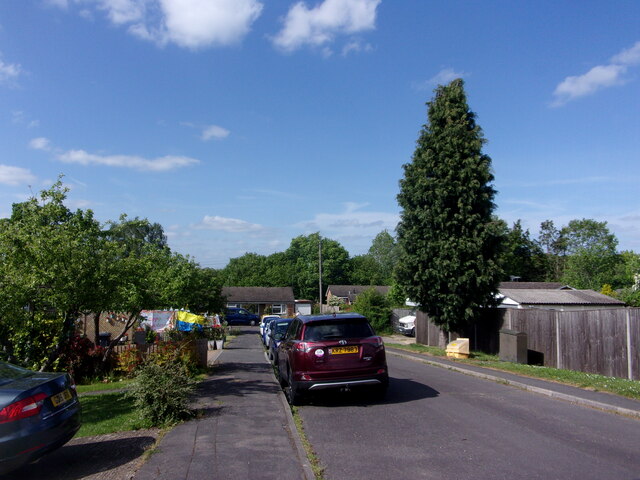
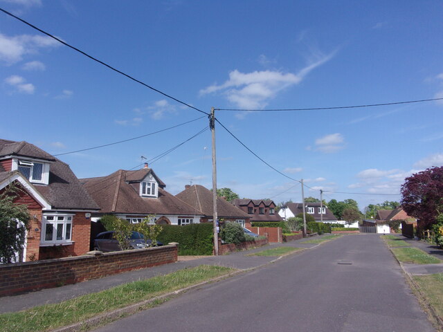
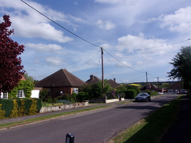
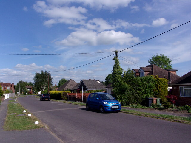
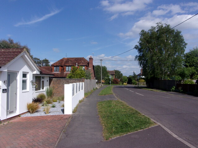
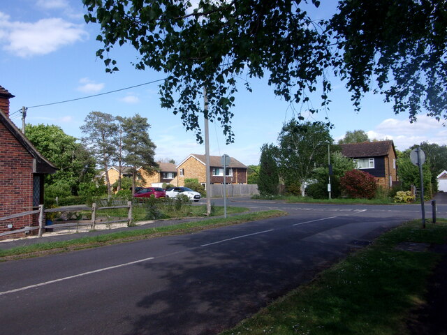
Kiln Copse Images
Images are sourced within 2km of 51.242734/-0.69412903 or Grid Reference SU9150. Thanks to Geograph Open Source API. All images are credited.


Kiln Copse is located at Grid Ref: SU9150 (Lat: 51.242734, Lng: -0.69412903)
Administrative County: Surrey
District: Guildford
Police Authority: Surrey
What 3 Words
///section.allowable.crouching. Near Normandy, Surrey
Nearby Locations
Related Wikis

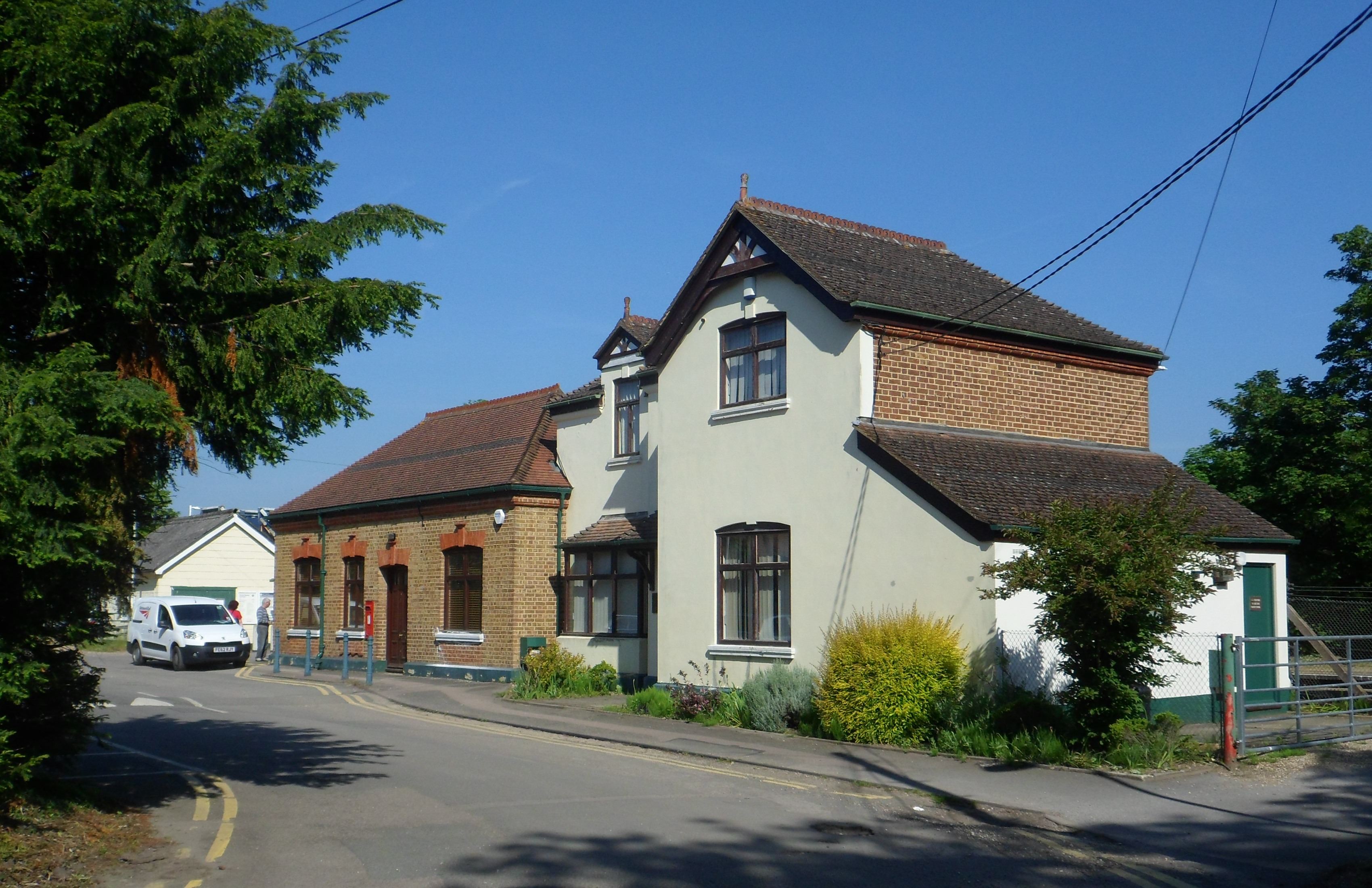
Ash Green Halt railway station
Ash Green Halt railway station known for a time as Ash Green, served the village of Ash, Surrey in England on the original route of the Alton Line which...
2007 United Kingdom foot-and-mouth outbreak
The 2007 United Kingdom foot-and-mouth outbreak occurred when the discharge of infectious effluent from a laboratory in Surrey led to foot-and-mouth disease...
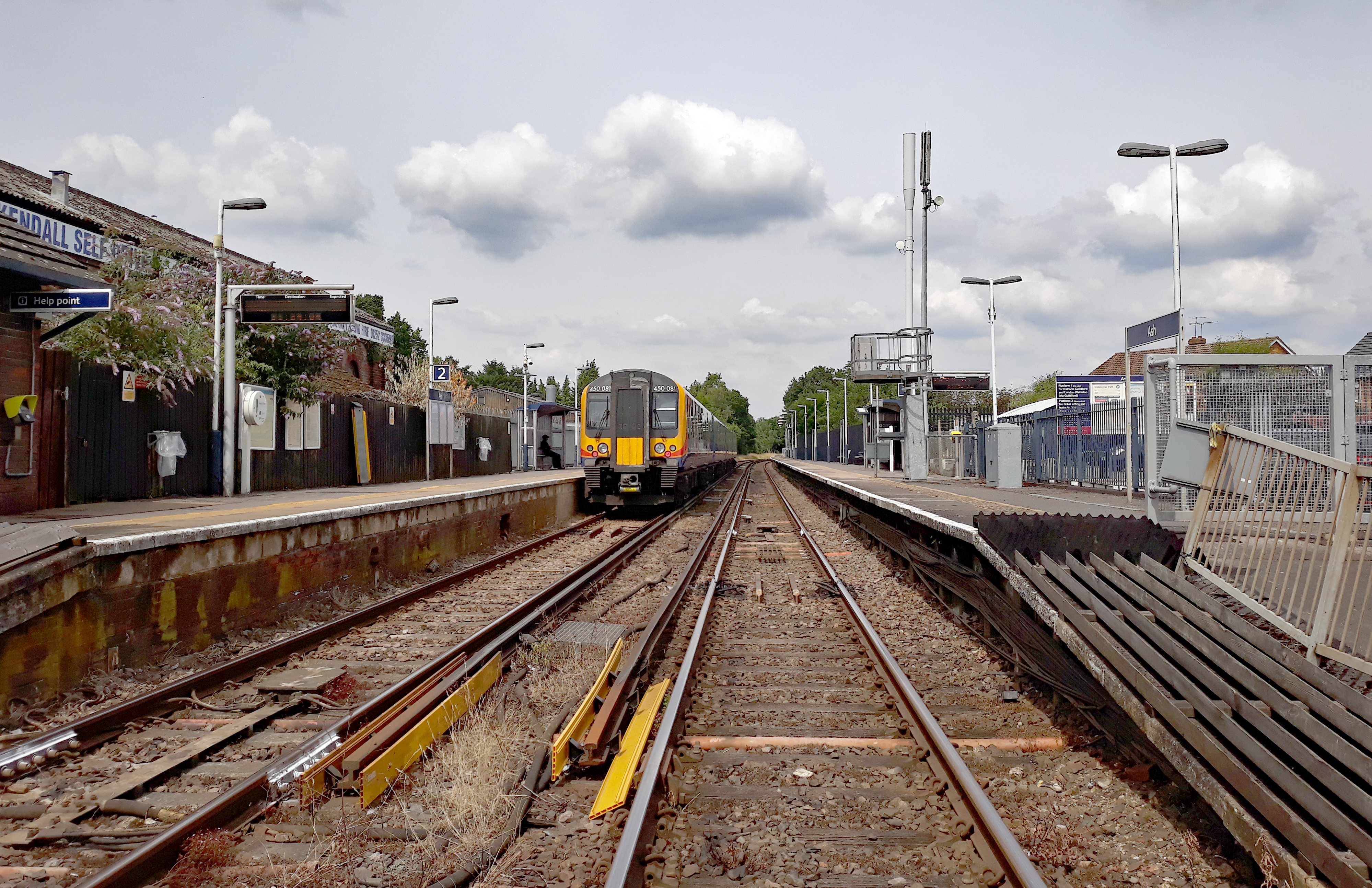
Ash railway station
Ash railway station serves the village of Ash in Surrey, England. The station is served by South Western Railway, who manage the station, and by Great...
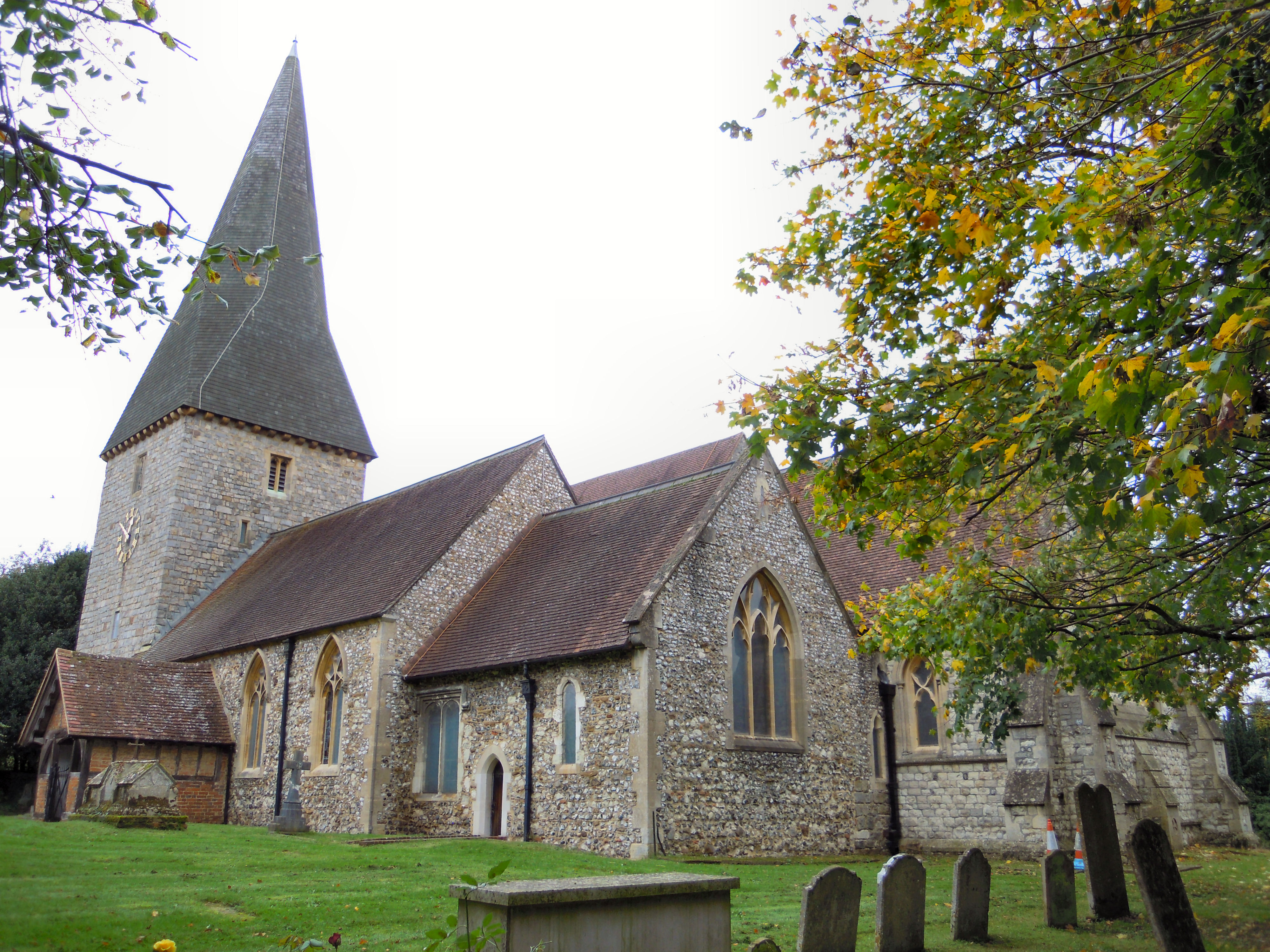
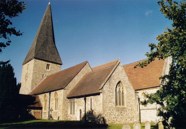
St Peter's church, Ash
St Peter's church is the Church of England parish church for the village of Ash in Surrey. Of 12th-century origin with later additions, the church has...

Ash Cemetery, Surrey
Ash Cemetery, also known as Emery Gates Cemetery on Church Road is the burial ground for the village of Ash in Surrey, England. == History == At a meeting...
Wanborough railway station
Wanborough railway station is in Flexford, Surrey, England. It serves the villages of Normandy to the north and Wanborough to the south. South Western...
Ash, Surrey
Ash is a village and civil parish in the far west of the borough of Guildford, Surrey. Ash is on the eastern side of the River Blackwater, with a station...

Seale Chalk Pit
Seale Chalk Pit is a 1.2-hectare (3.0-acre) geological Site of Special Scientific Interest west of Guildford in Surrey. It is a Geological Conservation...
Nearby Amenities
Located within 500m of 51.242734,-0.69412903Have you been to Kiln Copse?
Leave your review of Kiln Copse below (or comments, questions and feedback).