Frinkley Plantation
Wood, Forest in Lincolnshire South Kesteven
England
Frinkley Plantation
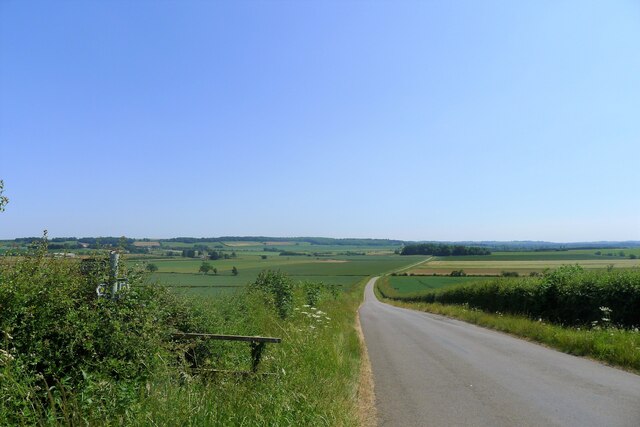
Frinkley Plantation is a well-known wood and forest located in Lincolnshire, England. Covering a vast area, it is a popular destination for nature enthusiasts and outdoor lovers.
The plantation is home to a diverse range of flora and fauna, making it an important ecological site in the region. The woodlands are dominated by various species of trees, including oak, beech, and pine, creating a picturesque landscape throughout the year. The vibrant colors of the foliage during autumn attract many visitors seeking to experience the breathtaking beauty of nature.
Frinkley Plantation offers a serene environment for visitors to indulge in recreational activities such as hiking, cycling, and birdwatching. The network of well-maintained trails allows visitors to explore the woodland and discover hidden gems along the way, including small streams and picturesque viewpoints.
Wildlife is abundant in Frinkley Plantation, with a variety of bird species such as woodpeckers, owls, and songbirds making it their habitat. Additionally, deer, foxes, and rabbits can often be spotted roaming freely within the forest, creating a sense of tranquility and harmony with nature.
The plantation is managed by local authorities to preserve its natural beauty and protect its wildlife. Educational programs and guided tours are organized to promote awareness about the importance of conservation and environmental sustainability.
Frinkley Plantation is not only a natural treasure but also a place of relaxation and rejuvenation for locals and tourists alike. Its enchanting atmosphere and stunning scenery make it a must-visit destination for anyone seeking a connection with nature.
If you have any feedback on the listing, please let us know in the comments section below.
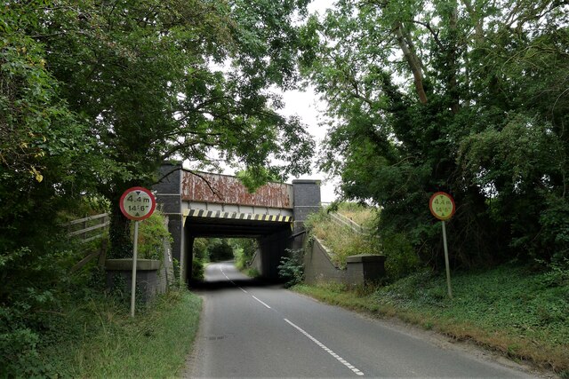
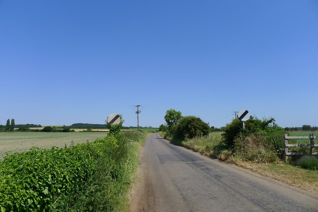
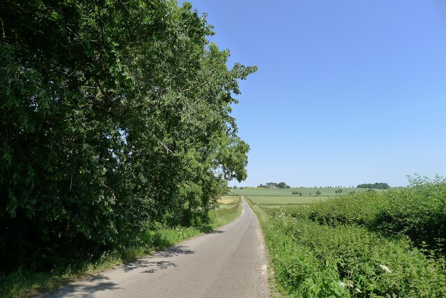
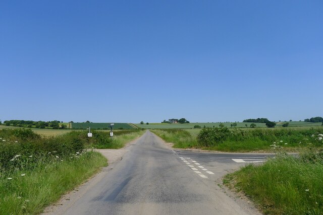
Frinkley Plantation Images
Images are sourced within 2km of 52.976436/-0.63975232 or Grid Reference SK9142. Thanks to Geograph Open Source API. All images are credited.


Frinkley Plantation is located at Grid Ref: SK9142 (Lat: 52.976436, Lng: -0.63975232)
Administrative County: Lincolnshire
District: South Kesteven
Police Authority: Lincolnshire
What 3 Words
///resolves.certainly.majors. Near Great Gonerby, Lincolnshire
Nearby Locations
Related Wikis

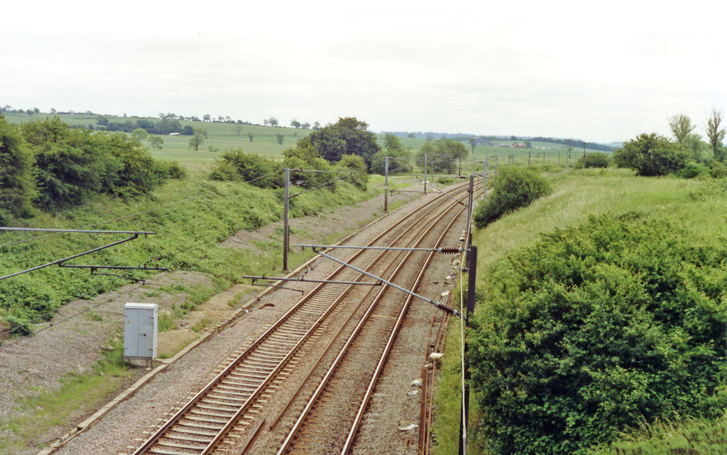
Barkston railway station
Barkston railway station is a former station serving the village of Barkston, Lincolnshire. It was on the Great Northern Railway main line near to the...
Hougham railway station
Hougham railway station is a former railway station in Hougham, Lincolnshire. The station was about a mile east of the village of Hougham itself and was...

Barkston
Barkston is an English village and civil parish in the South Kesteven district of Lincolnshire. The parish population was 497 at the 2001 census and 493...

Gelston, Lincolnshire
Gelston is a village in the South Kesteven district of Lincolnshire, England. It is 2 miles (3 km) west from the A607 road, 5 miles (8 km) north from Grantham...

Marston, Lincolnshire
Marston is a village and civil parish in the South Kesteven district of Lincolnshire, England. The population of the civil parish at the 2011 census was...

Syston, Lincolnshire
Syston is a village and civil parish in the South Kesteven district of Lincolnshire, England. The population of the civil parish was 162 at the 2011 census...

Honington railway station
Honington railway station was a station in the village of Honington, Lincolnshire. It was located on junction with the line Grantham and Lincoln railway...

Honington, Lincolnshire
Honington is an English village and civil parish in the South Kesteven district of Lincolnshire. It lies just north of the junction between the A153 and...
Nearby Amenities
Located within 500m of 52.976436,-0.63975232Have you been to Frinkley Plantation?
Leave your review of Frinkley Plantation below (or comments, questions and feedback).