Cow Close Plantation

Wood, Forest in Lincolnshire South Kesteven

England

Cow Close Plantation

Jericho Wood Sitting on the northern end of Great Gonerby's ridge.
This is a difficult square to Geograph, with no easy access other than by the occasional direct train between Grantham and Ancaster. And then, as the train speeds along just the few hundred yards not in a cutting (with trees obscuring the view over half of that), just seconds in which to take a picture.
Jericho Wood Credit: Tim Heaton

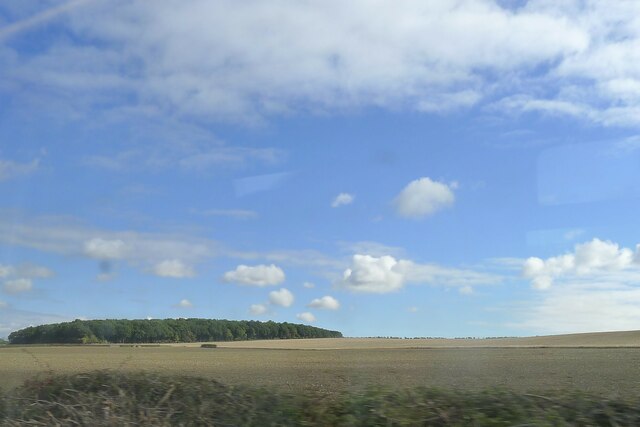
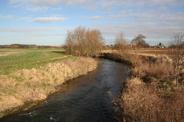
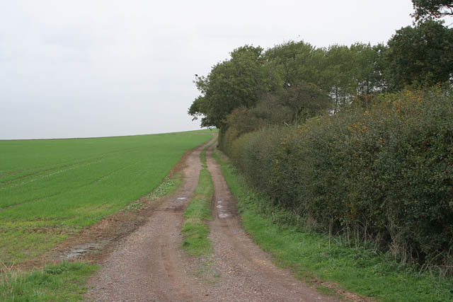
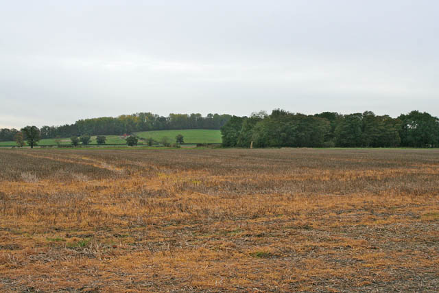
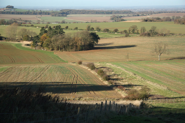
Cow Close Plantation is a woodland area located in Lincolnshire, England. Situated near the village of Wood, this plantation covers a vast area, consisting mainly of dense forest and various species of trees. The plantation is a popular destination for nature enthusiasts, hikers, and wildlife photographers.

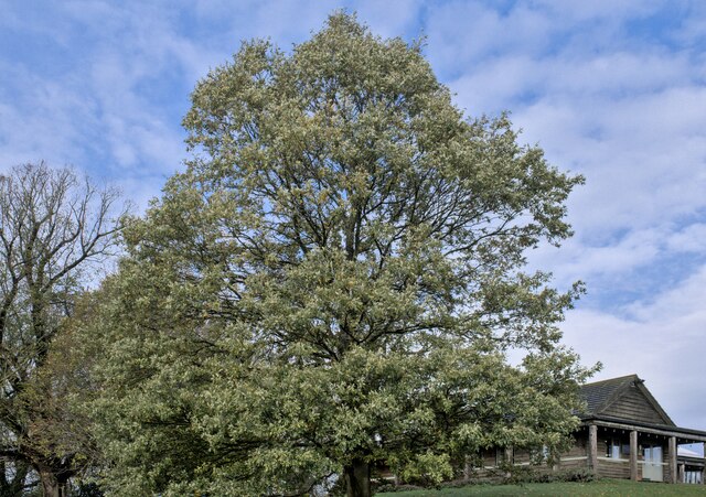
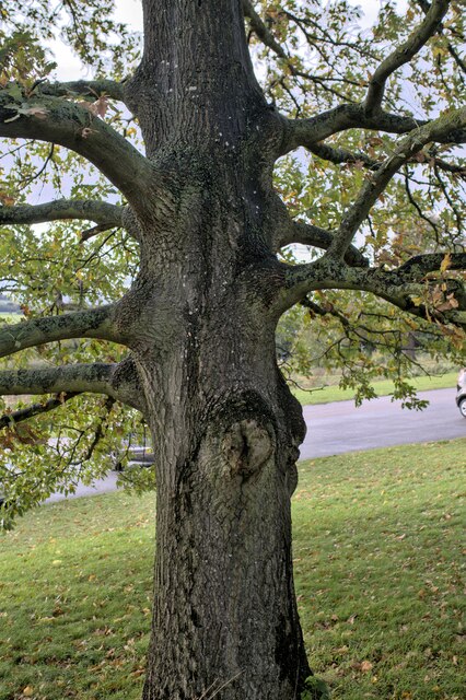
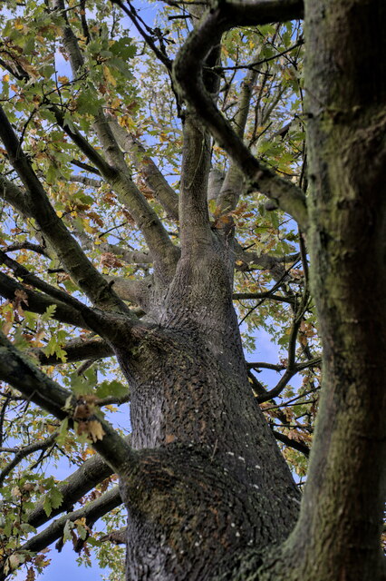
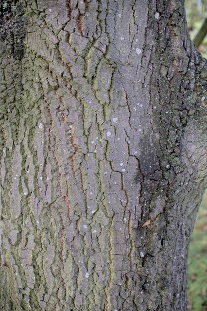
The woodland of Cow Close Plantation is predominantly composed of deciduous trees such as oak, beech, and birch, creating a vibrant and diverse ecosystem. The lush vegetation provides a sheltered habitat for a wide range of wildlife, including birds, mammals, and insects. Visitors to the plantation may have the opportunity to spot species such as woodpeckers, deer, squirrels, and foxes, among others.

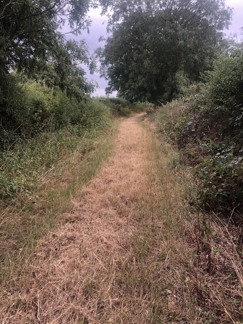
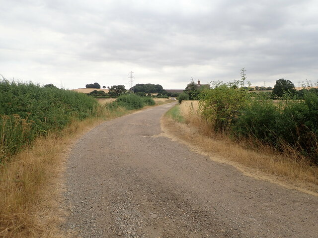
The plantation offers a network of well-maintained trails, allowing visitors to explore the woodland at their own pace. These paths wind through the trees, providing glimpses of picturesque clearings and serene ponds. There are also designated picnic areas, providing opportunities for visitors to relax and enjoy the tranquil surroundings.

Cow Close Plantation is managed by the local authorities, who ensure the preservation and conservation of the woodland. They undertake regular maintenance activities, such as tree planting and forest management, to maintain the health and diversity of the ecosystem.

Overall, Cow Close Plantation is a remarkable woodland area in Lincolnshire, offering visitors a chance to immerse themselves in nature and enjoy the beauty of the forest. Whether it is for a peaceful walk, wildlife observation, or simply appreciating the natural surroundings, this plantation provides a serene and captivating experience for all who visit.

If you have any feedback on the listing, please let us know in the comments section below.

Cow Close Plantation Images

Images are sourced within 2km of 52.952995/-0.64254205 or Grid Reference SK9140. Thanks to Geograph Open Source API. All images are credited.

Jericho Wood Sitting on the northern end of Great Gonerby's ridge.
This is a difficult square to Geograph, with no easy access other than by the occasional direct train between Grantham and Ancaster. And then, as the train speeds along just the few hundred yards not in a cutting (with trees obscuring the view over half of that), just seconds in which to take a picture.
Jericho Wood
Sitting on the northern end of Great Gonerby's ridge. This is a difficult square to Geograph, with no easy access other than by the occasional direct train between Grantham and Ancaster. And then, as the train speeds along just the few hundred yards not in a cutting (with trees obscuring the view over half of that), just seconds in which to take a picture.
Turkey Oak Quercus cerris, the Turkey Oak was introduced in 1700.
Turkey Oak
Quercus cerris, the Turkey Oak was introduced in 1700.
Quercus cerris The trunk of the tree seen in <a href="https://www.geograph.org.uk/photo/7339767">SK9340 : Turkey Oak</a>.
Quercus cerris
The trunk of the tree seen in SK9340 : Turkey Oak.
Always look up The crown and upper parts of the tree seen in <a href="https://www.geograph.org.uk/photo/7339767">SK9340 : Turkey Oak</a>.
Always look up
The crown and upper parts of the tree seen in SK9340 : Turkey Oak.
Quercus cerris, Turkey Oak The bark of the tree seen in <a href="https://www.geograph.org.uk/photo/7339767">SK9340 : Turkey Oak</a> and <a href="https://www.geograph.org.uk/photo/7339769">SK9340 : Quercus cerris</a>.
Quercus cerris, Turkey Oak
The bark of the tree seen in SK9340 : Turkey Oak and SK9340 : Quercus cerris.
Footpath Heading south towards Oakdale Farm
Footpath
Heading south towards Oakdale Farm
Oakdale Farm
Oakdale Farm
Church of St Mary, Syston Listed Grade II, from the 11th century <span class="nowrap"><a title="https://historicengland.org.uk/listing/the-list/list-entry/1147012?section=official-list-entry" rel="nofollow ugc noopener" href="https://historicengland.org.uk/listing/the-list/list-entry/1147012?section=official-list-entry">Link</a><img style="margin-left:2px;" alt="External link" title="External link - shift click to open in new window" src="https://s1.geograph.org.uk/img/external.png" width="10" height="10"/></span>
Church of St Mary, Syston
Listed Grade II, from the 11th century LinkExternal link
Churchyard wall, Syston Listed Grade II, early 19th century. The opening, which now allows access to the extended graveyard, was originally made to frame the vista of the church when seen from Syston Park to the east   <span class="nowrap"><a title="https://historicengland.org.uk/listing/the-list/list-entry/1360319?section=official-list-entry" rel="nofollow ugc noopener" href="https://historicengland.org.uk/listing/the-list/list-entry/1360319?section=official-list-entry">Link</a><img style="margin-left:2px;" alt="External link" title="External link - shift click to open in new window" src="https://s1.geograph.org.uk/img/external.png" width="10" height="10"/></span>
Churchyard wall, Syston
Listed Grade II, early 19th century. The opening, which now allows access to the extended graveyard, was originally made to frame the vista of the church when seen from Syston Park to the east LinkExternal link
South door, Church of St Mary, Syston "South door has a restored Saxon lintel with standing figures of saints under an architectural arcade. Above is a C12 tympanum with a billet moulded hood mould, a double order of star motifs and a central panel filled with diagonal trellis lines. The central parts of the lintel and the tympanum were cut by the insertion of a pointed arch during the C13, but this was removed during the C19 and an approximation of the original design substituted." <span class="nowrap"><a title="https://historicengland.org.uk/listing/the-list/list-entry/1147012?section=official-list-entry" rel="nofollow ugc noopener" href="https://historicengland.org.uk/listing/the-list/list-entry/1147012?section=official-list-entry">Link</a><img style="margin-left:2px;" alt="External link" title="External link - shift click to open in new window" src="https://s1.geograph.org.uk/img/external.png" width="10" height="10"/></span>
South door, Church of St Mary, Syston
"South door has a restored Saxon lintel with standing figures of saints under an architectural arcade. Above is a C12 tympanum with a billet moulded hood mould, a double order of star motifs and a central panel filled with diagonal trellis lines. The central parts of the lintel and the tympanum were cut by the insertion of a pointed arch during the C13, but this was removed during the C19 and an approximation of the original design substituted." LinkExternal link
St.Mary's church, Syston, Lincs. A Norman tower, nave and chancel arch, also, a restored tympanum over the south door. A fine church tucked away by the old hall.
St.Mary's church, Syston, Lincs.
A Norman tower, nave and chancel arch, also, a restored tympanum over the south door. A fine church tucked away by the old hall.
River Witham Looking north towards Barkston from Hambleton Bridge
River Witham
Looking north towards Barkston from Hambleton Bridge
St Mary's Church, Syston
Sand Lane Bridge Railway bridge on Sand Lane near Marston
Sand Lane Bridge
Railway bridge on Sand Lane near Marston
Entrance to Cliff Farm Jericho Wood on the horizon, <a href="https://www.geograph.org.uk/gridref/SK9040">SK9040</a>
Entrance to Cliff Farm
Jericho Wood on the horizon, SK9040
Farm track near Cliff Lane. Looking towards Oakdale Farm with a field of beans ready for harvesting.
Farm track near Cliff Lane.
Looking towards Oakdale Farm with a field of beans ready for harvesting.
Aubry's Screed near Syston This farm track turns right off River Lane, itself a similar track which turns south to Little Oak Wood. Aubry's Screed, on the left, is a narrow belt of mixed woodland which climbs Hambleton Hill. The grid square boundary goes across the picture just where the track disappears from view.
Aubry's Screed near Syston
This farm track turns right off River Lane, itself a similar track which turns south to Little Oak Wood. Aubry's Screed, on the left, is a narrow belt of mixed woodland which climbs Hambleton Hill. The grid square boundary goes across the picture just where the track disappears from view.
Little Oak Wood and farmland near Syston
Show me another place!

Cow Close Plantation is located at Grid Ref: SK9140 (Lat: 52.952995, Lng: -0.64254205)

Administrative County: Lincolnshire

District: South Kesteven

Police Authority: Lincolnshire

What 3 Words

///heats.crockery.bowls. Near Great Gonerby, Lincolnshire

Related Wikis

Barkston railway station

Barkston railway station is a former station serving the village of Barkston, Lincolnshire. It was on the Great Northern Railway main line near to the...

Belton and Manthorpe

Belton and Manthorpe is a civil parish in the South Kesteven district of Lincolnshire, England, consisting of Belton and Manthorpe, just north of Grantham...

Syston, Lincolnshire

Syston is a village and civil parish in the South Kesteven district of Lincolnshire, England. The population of the civil parish was 162 at the 2011 census...

St Peter and St Paul's Church, Belton

The Church of St Peter and St Paul, Belton, South Kesteven, Lincolnshire is a functioning parish church and a Grade I listed building. Since the 17th century...

Nearby Amenities

Located within 500m of 52.952995,-0.64254205
Gonerby Grange
Place: farm
Source: Bing
Lat/Long: 52.951382/-0.6487353
The data included in this document is from www.openstreetmap.org. The data is made available under ODbL.

Have you been to Cow Close Plantation?

Leave your review of Cow Close Plantation below (or comments, questions and feedback).