Jericho Big Wood

Wood, Forest in Lincolnshire South Kesteven

England

Jericho Big Wood

Bridge on Sand Lane Carrying the East Coast Main Line north of Grantham.
Bridge on Sand Lane Credit: Tim Heaton

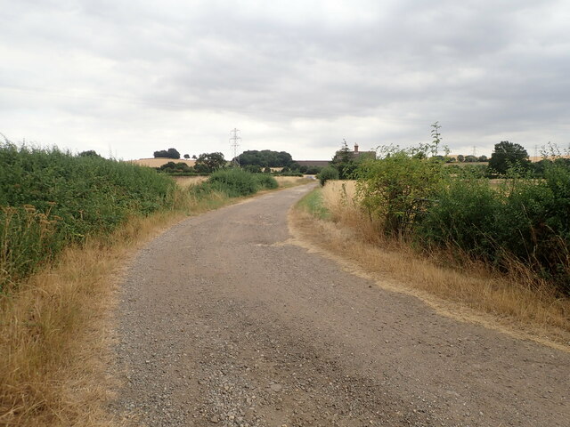
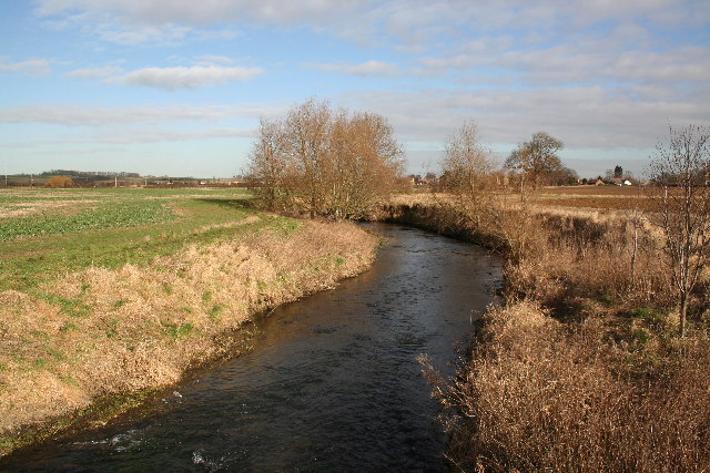
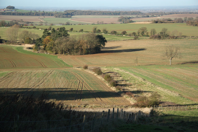
Jericho Big Wood is a beautiful forest located in the county of Lincolnshire, England. Spread across a vast area, this woodland is known for its stunning natural beauty and diverse wildlife. It is situated near the village of Jericho, giving it its name.

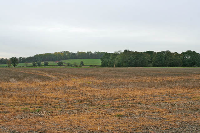
The forest is characterized by its dense canopy of tall trees, which includes a mix of deciduous and coniferous species. Visitors to Jericho Big Wood can expect to see towering oak, beech, and birch trees, along with majestic pines and spruces. The forest floor is covered in a lush carpet of ferns and wildflowers, creating a vibrant and picturesque landscape.

Jericho Big Wood is a haven for wildlife enthusiasts and nature lovers. The forest is home to a wide range of animal species, including deer, foxes, rabbits, and various bird species. It provides a vital habitat for these creatures, offering shelter, food, and protection.

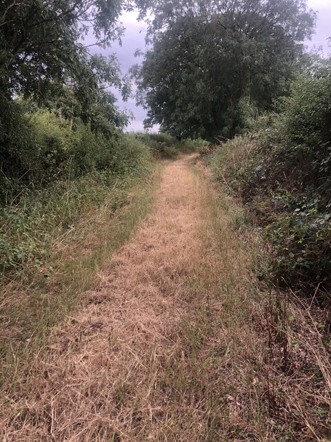
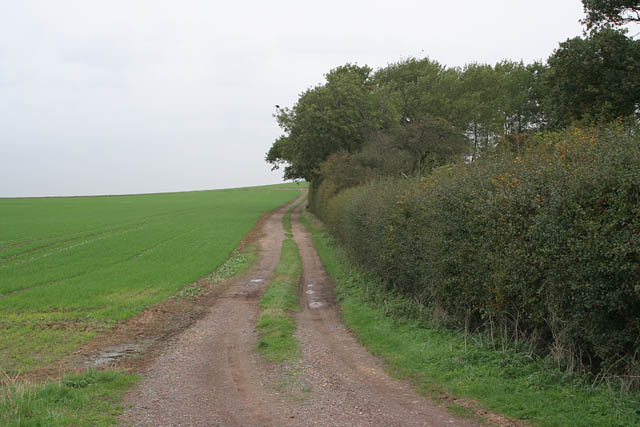
Visitors can explore the forest through a network of well-maintained walking trails. These trails wind through the forest, offering breathtaking views and opportunities for wildlife spotting. There are also designated picnic areas and benches where visitors can rest and enjoy the tranquility of the surroundings.

Jericho Big Wood is a popular destination for outdoor activities such as hiking, birdwatching, and photography. It provides a serene escape from the bustle of city life and offers a chance to reconnect with nature. With its stunning beauty and abundant wildlife, Jericho Big Wood is a must-visit for anyone seeking a peaceful and picturesque experience in Lincolnshire.

If you have any feedback on the listing, please let us know in the comments section below.

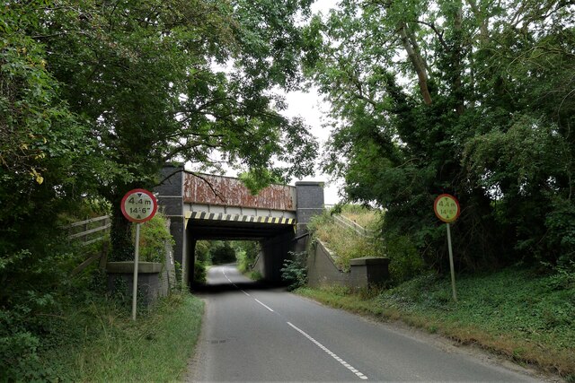
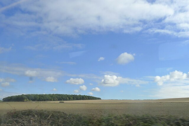
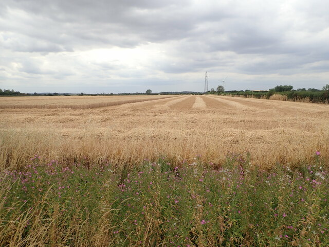
Jericho Big Wood Images

Images are sourced within 2km of 52.956997/-0.6458258 or Grid Reference SK9140. Thanks to Geograph Open Source API. All images are credited.

Bridge on Sand Lane Carrying the East Coast Main Line north of Grantham.
Bridge on Sand Lane
Carrying the East Coast Main Line north of Grantham.
Jericho Wood Sitting on the northern end of Great Gonerby's ridge.
This is a difficult square to Geograph, with no easy access other than by the occasional direct train between Grantham and Ancaster. And then, as the train speeds along just the few hundred yards not in a cutting (with trees obscuring the view over half of that), just seconds in which to take a picture.
Jericho Wood
Sitting on the northern end of Great Gonerby's ridge. This is a difficult square to Geograph, with no easy access other than by the occasional direct train between Grantham and Ancaster. And then, as the train speeds along just the few hundred yards not in a cutting (with trees obscuring the view over half of that), just seconds in which to take a picture.
Church of St Mary, Syston Listed Grade II, from the 11th century <span class="nowrap"><a title="https://historicengland.org.uk/listing/the-list/list-entry/1147012?section=official-list-entry" rel="nofollow ugc noopener" href="https://historicengland.org.uk/listing/the-list/list-entry/1147012?section=official-list-entry">Link</a><img style="margin-left:2px;" alt="External link" title="External link - shift click to open in new window" src="https://s1.geograph.org.uk/img/external.png" width="10" height="10"/></span>
Church of St Mary, Syston
Listed Grade II, from the 11th century LinkExternal link
Churchyard wall, Syston Listed Grade II, early 19th century. The opening, which now allows access to the extended graveyard, was originally made to frame the vista of the church when seen from Syston Park to the east   <span class="nowrap"><a title="https://historicengland.org.uk/listing/the-list/list-entry/1360319?section=official-list-entry" rel="nofollow ugc noopener" href="https://historicengland.org.uk/listing/the-list/list-entry/1360319?section=official-list-entry">Link</a><img style="margin-left:2px;" alt="External link" title="External link - shift click to open in new window" src="https://s1.geograph.org.uk/img/external.png" width="10" height="10"/></span>
Churchyard wall, Syston
Listed Grade II, early 19th century. The opening, which now allows access to the extended graveyard, was originally made to frame the vista of the church when seen from Syston Park to the east LinkExternal link
South door, Church of St Mary, Syston "South door has a restored Saxon lintel with standing figures of saints under an architectural arcade. Above is a C12 tympanum with a billet moulded hood mould, a double order of star motifs and a central panel filled with diagonal trellis lines. The central parts of the lintel and the tympanum were cut by the insertion of a pointed arch during the C13, but this was removed during the C19 and an approximation of the original design substituted." <span class="nowrap"><a title="https://historicengland.org.uk/listing/the-list/list-entry/1147012?section=official-list-entry" rel="nofollow ugc noopener" href="https://historicengland.org.uk/listing/the-list/list-entry/1147012?section=official-list-entry">Link</a><img style="margin-left:2px;" alt="External link" title="External link - shift click to open in new window" src="https://s1.geograph.org.uk/img/external.png" width="10" height="10"/></span>
South door, Church of St Mary, Syston
"South door has a restored Saxon lintel with standing figures of saints under an architectural arcade. Above is a C12 tympanum with a billet moulded hood mould, a double order of star motifs and a central panel filled with diagonal trellis lines. The central parts of the lintel and the tympanum were cut by the insertion of a pointed arch during the C13, but this was removed during the C19 and an approximation of the original design substituted." LinkExternal link
Part-harvested wheat field, near Marston
Footpath Heading south towards Oakdale Farm
Footpath
Heading south towards Oakdale Farm
Oakdale Farm
Oakdale Farm
Derelict buildings at Mickling Farm
St.Mary's church, Syston, Lincs. A Norman tower, nave and chancel arch, also, a restored tympanum over the south door. A fine church tucked away by the old hall.
St.Mary's church, Syston, Lincs.
A Norman tower, nave and chancel arch, also, a restored tympanum over the south door. A fine church tucked away by the old hall.
River Witham Looking north towards Barkston from Hambleton Bridge
River Witham
Looking north towards Barkston from Hambleton Bridge
St Mary's Church, Syston
Sand Lane Bridge Railway bridge on Sand Lane near Marston
Sand Lane Bridge
Railway bridge on Sand Lane near Marston
Entrance to Cliff Farm Jericho Wood on the horizon, <a href="https://www.geograph.org.uk/gridref/SK9040">SK9040</a>
Entrance to Cliff Farm
Jericho Wood on the horizon, SK9040
Cliff Lane near Marston, Lincolnshire
Farm track near Cliff Lane. Looking towards Oakdale Farm with a field of beans ready for harvesting.
Farm track near Cliff Lane.
Looking towards Oakdale Farm with a field of beans ready for harvesting.
Aubry's Screed near Syston This farm track turns right off River Lane, itself a similar track which turns south to Little Oak Wood. Aubry's Screed, on the left, is a narrow belt of mixed woodland which climbs Hambleton Hill. The grid square boundary goes across the picture just where the track disappears from view.
Aubry's Screed near Syston
This farm track turns right off River Lane, itself a similar track which turns south to Little Oak Wood. Aubry's Screed, on the left, is a narrow belt of mixed woodland which climbs Hambleton Hill. The grid square boundary goes across the picture just where the track disappears from view.
Little Oak Wood and farmland near Syston
Show me another place!

Jericho Big Wood is located at Grid Ref: SK9140 (Lat: 52.956997, Lng: -0.6458258)

Administrative County: Lincolnshire

District: South Kesteven

Police Authority: Lincolnshire

What 3 Words

///tablets.clerk.litters. Near Great Gonerby, Lincolnshire

Related Wikis

Barkston railway station

Barkston railway station is a former station serving the village of Barkston, Lincolnshire. It was on the Great Northern Railway main line near to the...

Syston, Lincolnshire

Syston is a village and civil parish in the South Kesteven district of Lincolnshire, England. The population of the civil parish was 162 at the 2011 census...

Belton and Manthorpe

Belton and Manthorpe is a civil parish in the South Kesteven district of Lincolnshire, England, consisting of Belton and Manthorpe, just north of Grantham...

Barkston

Barkston is an English village and civil parish in the South Kesteven district of Lincolnshire. The parish population was 497 at the 2001 census and 493...

Belton, South Kesteven

Belton is a village in the civil parish of Belton and Manthorpe, in the South Kesteven district of Lincolnshire, England. It is situated on the A607 road...

St Peter and St Paul's Church, Belton

The Church of St Peter and St Paul, Belton, South Kesteven, Lincolnshire is a functioning parish church and a Grade I listed building. Since the 17th century...

Oak Bank School

Oak Bank School is a co-educational special school with academy status located in Leighton Buzzard, Bedfordshire, England. The school accepts pupils from...
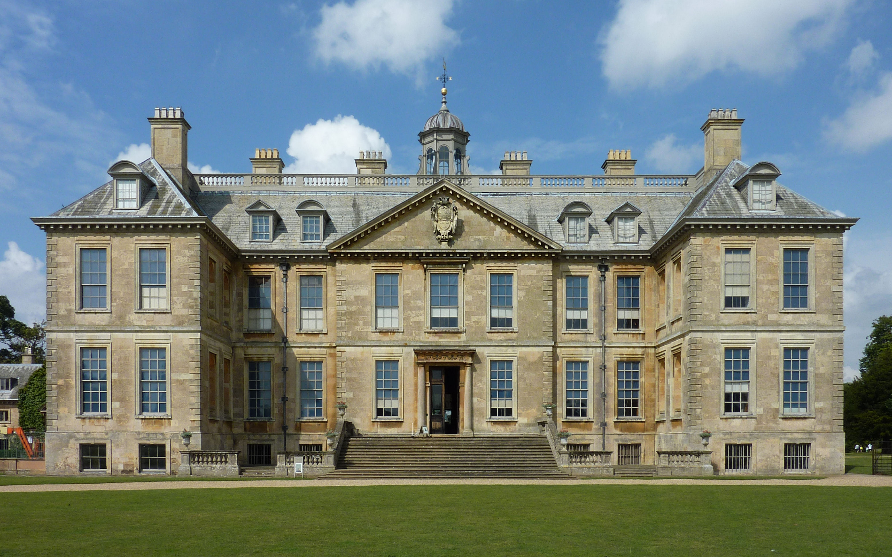
Belton House

Belton House is a Grade I listed country house in the parish of Belton near Grantham in Lincolnshire, England, built between 1685 and 1687 by Sir John...

Related Videos

Walking along Eastern Avenue, Belton Park, Belton House

An exciting walk along Eastern Avenue, Belton Park, from Belton House ha-ha to the dear sanctuary fence facing Bellmount ...

Omar Westfield Twin Lodge Holiday Home For Sale at Wagtail Country Park, Lincolnshire

A chance to own a desirable lakeside holiday home in the heart of Wagtail Country Park, Lincolnshire. This stylish and modern ...

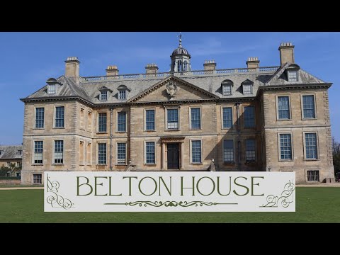
Belton House | National Trust

Belton House is a Grade I listed country house in the parish of Belton near Grantham in Lincolnshire, England, built between 1685 ...

Nearby Amenities

Located within 500m of 52.956997,-0.6458258
Jericho Farm
Place: farm
Source: Bing
Lat/Long: 52.9587313/-0.6474923
The data included in this document is from www.openstreetmap.org. The data is made available under ODbL.

Have you been to Jericho Big Wood?

Leave your review of Jericho Big Wood below (or comments, questions and feedback).