Brickyard Plantation
Wood, Forest in Lincolnshire South Kesteven
England
Brickyard Plantation

Brickyard Plantation, located in the beautiful county of Lincolnshire, England, is a stunning woodland area known for its rich history and natural beauty. Spanning over several acres, the plantation is a haven for nature enthusiasts and those seeking tranquility.
The plantation gets its name from the brick kilns that were once used to produce bricks during the 19th century. Today, these kilns serve as a reminder of the area's industrial past and have become a part of its unique charm. The woodland itself is dominated by a variety of tree species, including oak, beech, and birch, creating a diverse and vibrant ecosystem.
Visitors to Brickyard Plantation can enjoy a network of well-maintained walking trails that wind through the woods, offering breathtaking views and opportunities for wildlife spotting. The area is home to a multitude of bird species, making it a popular destination for birdwatchers. Red deer can also be spotted grazing in the open meadows, adding to the enchanting ambiance of the plantation.
In addition to its natural beauty, Brickyard Plantation offers a range of recreational activities for visitors. There are picnic areas and benches strategically placed throughout the woodland, allowing visitors to relax and enjoy the peaceful surroundings. The plantation also hosts educational programs and events, promoting awareness and appreciation for the local environment.
Overall, Brickyard Plantation in Lincolnshire is a captivating destination that combines history, nature, and recreation. Its picturesque woodland and diverse wildlife make it a must-visit location for anyone seeking a serene escape from the bustling city life.
If you have any feedback on the listing, please let us know in the comments section below.
Brickyard Plantation Images
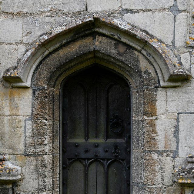
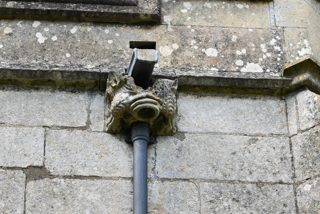
Images are sourced within 2km of 52.847076/-0.65291612 or Grid Reference SK9028. Thanks to Geograph Open Source API. All images are credited.
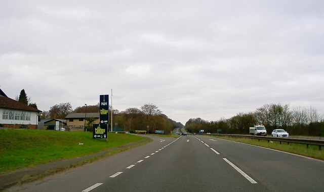


Brickyard Plantation is located at Grid Ref: SK9028 (Lat: 52.847076, Lng: -0.65291612)
Administrative County: Lincolnshire
District: South Kesteven
Police Authority: Lincolnshire
What 3 Words
///fights.includes.youthful. Near Colsterworth, Lincolnshire
Nearby Locations
Related Wikis
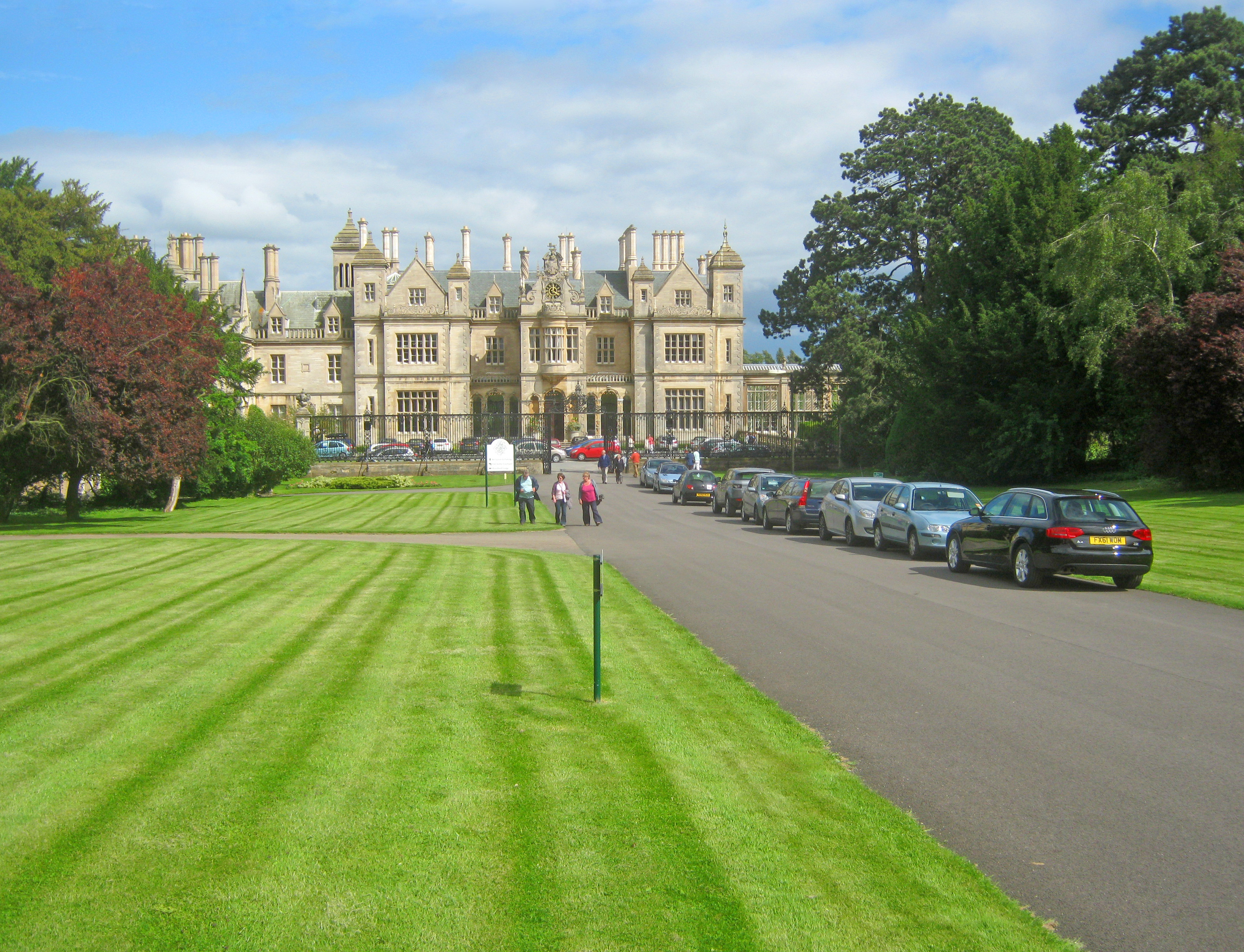
Stoke Rochford Hall
Stoke Rochford Hall is a large house built in scenic grounds, with a nearby golf course, next to the A1 in south Lincolnshire, England. The parkland and...

Stoke Rochford
Stoke Rochford is a small English village and civil parish 5.5 miles (9 km) south of Grantham in the South Kesteven district of Lincolnshire. The population...

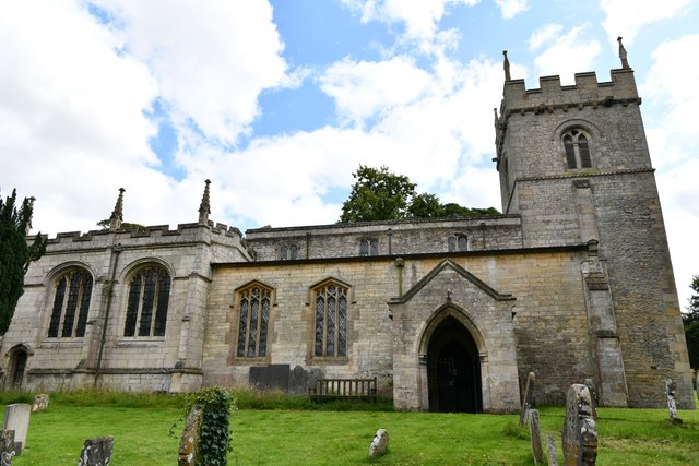
St Andrew and St Mary's Church, Stoke Rochford
St Andrew and St Mary's Church is a Grade I listed Church of England parish church dedicated to Saint Andrew and Saint Mary, in the parish of Easton and...

Great Ponton
Great Ponton is an English village and civil parish in the South Kesteven district of Lincolnshire, 3 miles (5 km) south of Grantham on the A1 trunk road...
Nearby Amenities
Located within 500m of 52.847076,-0.65291612Have you been to Brickyard Plantation?
Leave your review of Brickyard Plantation below (or comments, questions and feedback).