Ash Lound
Wood, Forest in Lincolnshire North Kesteven
England
Ash Lound

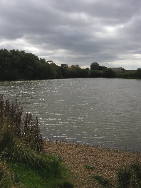
Ash Lound, located in Lincolnshire, England, is a small village surrounded by lush woodlands and forests. Situated in the northern part of the county, Ash Lound is known for its picturesque natural beauty and tranquil atmosphere.
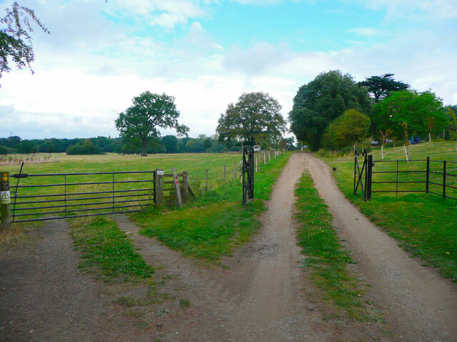
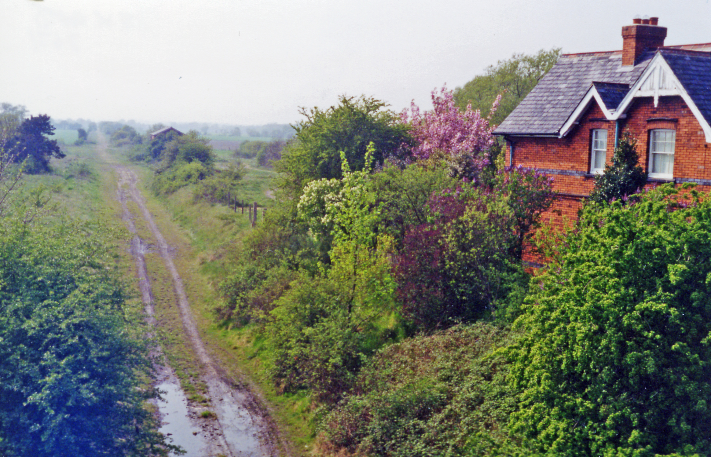
The village is set amidst a dense canopy of trees, predominantly ash trees, from which it derives its name. These woodlands offer a sanctuary for a variety of wildlife, making it a haven for nature enthusiasts and birdwatchers. The forested areas surrounding Ash Lound provide ample opportunities for hiking, cycling, and exploring the great outdoors.
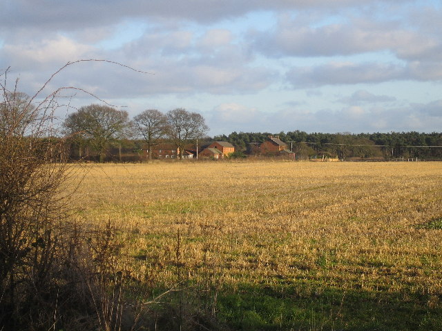
Despite its secluded location, Ash Lound is not completely isolated. It is conveniently situated near the market town of Gainsborough, which provides essential amenities and services to residents and visitors alike. The village itself has a close-knit community, with a small population that fosters a friendly and welcoming atmosphere.
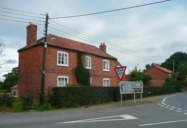
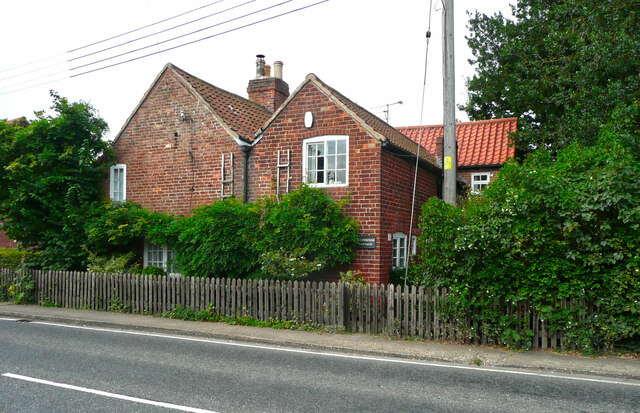
Historically, Ash Lound has been inhabited for centuries, with evidence of human settlement dating back to the Roman period. The village retains its rural charm, with traditional architecture and stone-built houses. The surrounding forests have been managed sustainably, ensuring the preservation of this natural treasure for future generations.
In conclusion, Ash Lound is a picturesque village nestled within a woodland paradise. Its serene ambiance, coupled with its proximity to amenities, makes it an ideal place to reside or visit for those seeking a peaceful retreat amidst nature's beauty.
If you have any feedback on the listing, please let us know in the comments section below.
Ash Lound Images
Images are sourced within 2km of 53.228091/-0.64110844 or Grid Reference SK9070. Thanks to Geograph Open Source API. All images are credited.


Ash Lound is located at Grid Ref: SK9070 (Lat: 53.228091, Lng: -0.64110844)
Administrative County: Lincolnshire
District: North Kesteven
Police Authority: Lincolnshire
What 3 Words
///diverts.darts.treetop. Near Skellingthorpe, Lincolnshire
Nearby Locations
Related Wikis
Jerusalem, Lincolnshire
Jerusalem is a small ribbon development in the North Kesteven district of Lincolnshire, England. It conjoined to the south of Skellingthorpe, and is part...

Doddington, Lincolnshire
Doddington is a village in the civil parish of Doddington and Whisby in the North Kesteven district of Lincolnshire, England. The population of the civil...

Doddington Hall, Lincolnshire
Doddington Hall is, from the outside, an Elizabethan prodigy house or mansion complete with walled courtyards and a gabled gatehouse. Inside it was largely...

Skellingthorpe
Skellingthorpe is a village and civil parish in the North Kesteven district of Lincolnshire, England. The population of the village at the 2011 census...

Skellingthorpe railway station (Lancashire, Derbyshire and East Coast Railway)
Skellingthorpe (Lancashire, Derbyshire and East Coast Railway) railway station is one of two former railway stations in Skellingthorpe, Lincolnshire, England...
Doddington and Harby railway station
Doddington and Harby railway station is a former railway station on the Nottinghamshire border with Lincolnshire, England. == Context == The station was...

Harby, Nottinghamshire
Harby is a village and civil parish in the Newark and Sherwood district of Nottinghamshire, England. It is close to the Lincolnshire border with Doddington...

Birchwood, Lincoln
Birchwood is a district and suburb of Lincoln in Lincolnshire, England. The district population in the 2021 Census was 8,932. It is located midway between...
Nearby Amenities
Located within 500m of 53.228091,-0.64110844Have you been to Ash Lound?
Leave your review of Ash Lound below (or comments, questions and feedback).