Magpie Wood
Wood, Forest in Buckinghamshire
England
Magpie Wood

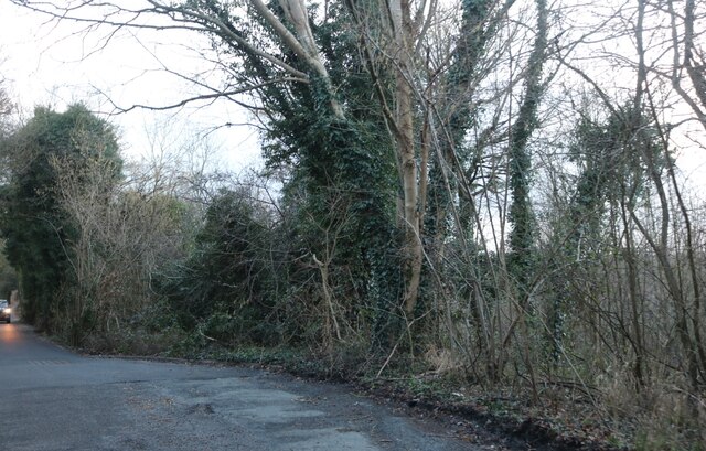
Magpie Wood is a picturesque forest located in the county of Buckinghamshire, England. It covers an area of approximately 200 acres and is known for its diverse range of flora and fauna, making it a popular destination for nature enthusiasts and wildlife lovers.
The wood is predominantly composed of ancient and semi-natural woodland, with a mix of deciduous and coniferous trees such as oak, beech, pine, and birch. The dense canopy of trees provides a sheltered environment for a variety of wildlife, including deer, foxes, badgers, and a wide range of bird species such as magpies, woodpeckers, and owls – giving the wood its name.
Magpie Wood offers a network of well-maintained footpaths and trails, allowing visitors to explore the natural beauty of the area. The paths wind through the wood, offering stunning views of the surrounding countryside and glimpses of wildlife along the way. The peaceful ambiance of the wood makes it an ideal spot for walking, jogging, or simply enjoying a leisurely stroll.
The wood is also home to a number of rare plant species, including orchids and bluebells, which create a colorful display during the spring months. This attracts many visitors who come to witness the vibrant burst of color and enjoy the fragrant scents that fill the air.
Magpie Wood is easily accessible, with ample parking facilities and nearby amenities. It provides a tranquil escape from the hustle and bustle of everyday life, offering a chance to connect with nature and enjoy the beauty of Buckinghamshire's countryside.
If you have any feedback on the listing, please let us know in the comments section below.
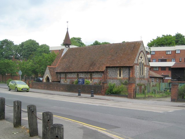
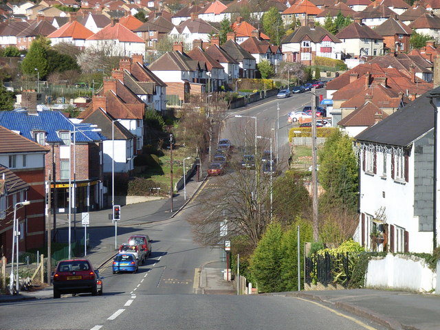
Magpie Wood Images
Images are sourced within 2km of 51.618717/-0.7003248 or Grid Reference SU9091. Thanks to Geograph Open Source API. All images are credited.


Magpie Wood is located at Grid Ref: SU9091 (Lat: 51.618717, Lng: -0.7003248)
Unitary Authority: Buckinghamshire
Police Authority: Thames Valley
What 3 Words
///part.star.area. Near High Wycombe, Buckinghamshire
Nearby Locations
Related Wikis

Gomm Valley
Gomm Valley is a 4.1-hectare (10-acre) biological Site of Special Scientific Interest in Micklefield, a district of High Wycombe in Buckinghamshire. It...

Chepping Wycombe
Chepping Wycombe is a civil parish in the ceremonial county of Buckinghamshire, England. The parish includes the three large villages of Tylers Green,...
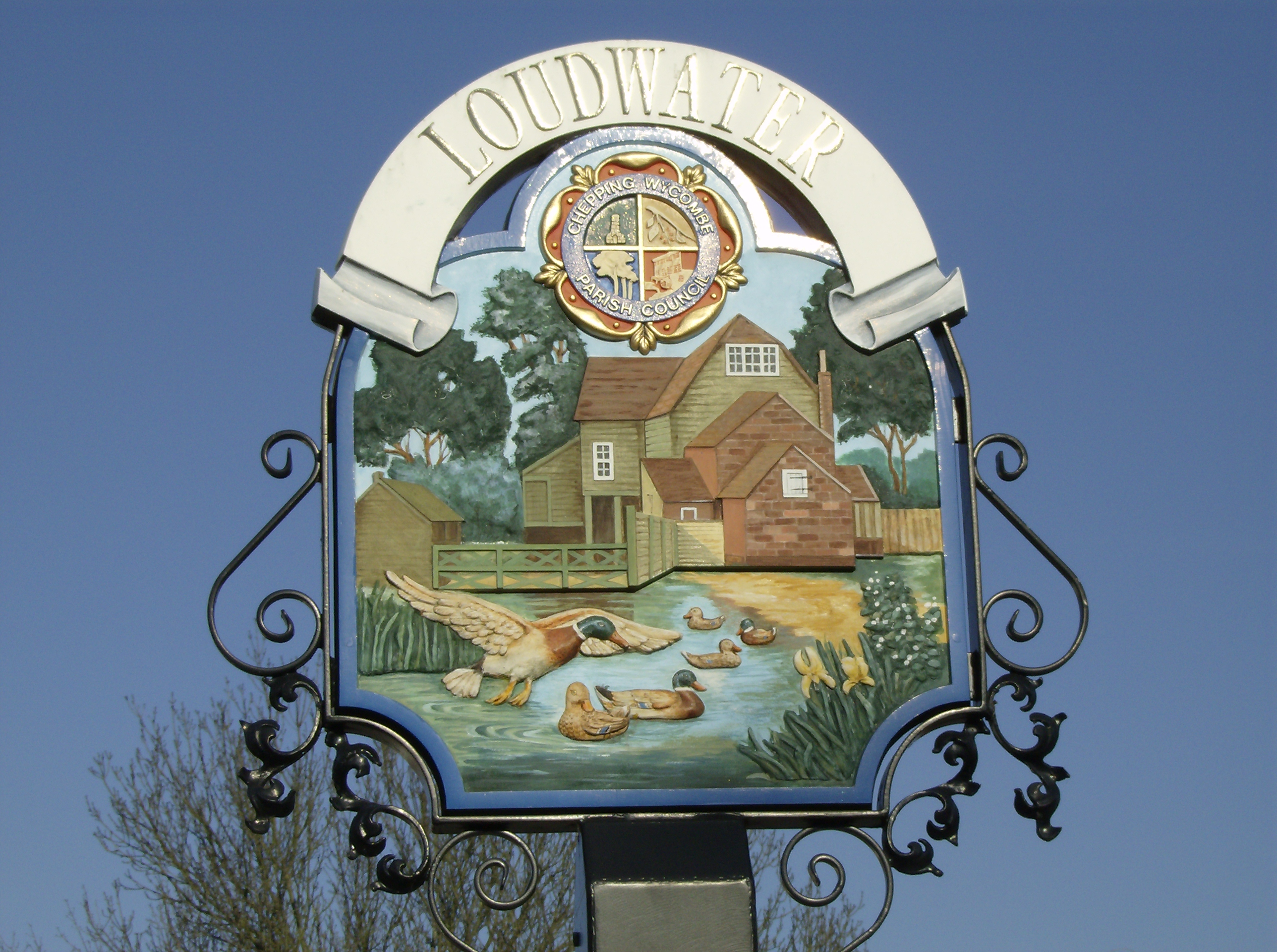
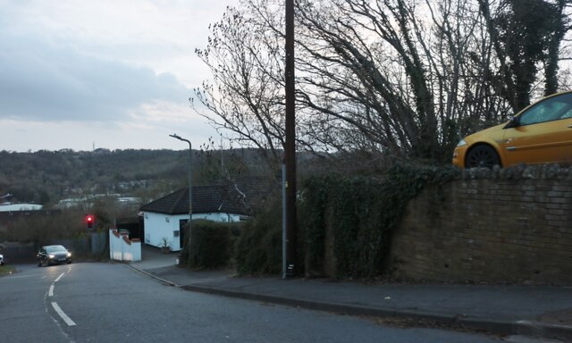
Loudwater, Buckinghamshire
Loudwater is a village in the parish of Chepping Wycombe in Buckinghamshire, England. It is located in the valley to the east of High Wycombe, on the...
Beacon Hill, Buckinghamshire
The hamlet of Beacon Hill, is situated off the B474 near Penn and on the outskirts of High Wycombe Buckinghamshire. Nearby is the Golf Course at Wycombe...
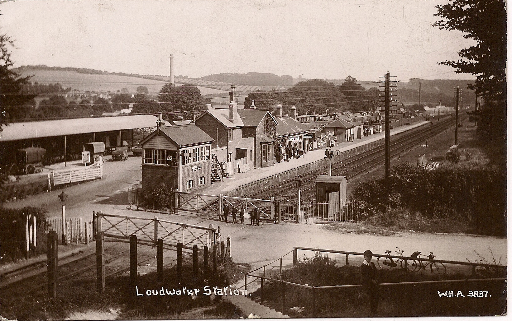
Loudwater railway station
Loudwater railway station was a railway station which served Loudwater, Buckinghamshire and Flackwell Heath, on the Wycombe Railway. == History == Loudwater...
Wycombe Marsh
Wycombe Marsh is an area of High Wycombe, Buckinghamshire, England. It lies on the River Wye and the A40 road, approximately 1.5 miles (2.4 km) south-east...

Micklefield, High Wycombe
Micklefield is a ward of High Wycombe, Buckinghamshire, located on the eastern side of the town. Surrounded on one side by the Chiltern Hills and King...
Bowerdean, Micklefield and Totteridge
Bowerdean, Micklefield and Totteridge is a political division of Buckinghamshire County Council in Buckinghamshire, England. It is a two-seat constituency...
Nearby Amenities
Located within 500m of 51.618717,-0.7003248Have you been to Magpie Wood?
Leave your review of Magpie Wood below (or comments, questions and feedback).