Jubilee Plantation
Wood, Forest in Lincolnshire South Kesteven
England
Jubilee Plantation

Jubilee Plantation is a picturesque woodland located in the county of Lincolnshire, England. Covering an area of approximately 100 hectares, this plantation is known for its diverse range of trees and tranquil atmosphere. It is situated near the village of Wood, nestled within the larger Forest area of Lincolnshire.
The plantation was established in 1977 in celebration of Queen Elizabeth II's Silver Jubilee, hence the name "Jubilee Plantation." The intention was to create a lasting legacy that would provide a green space for the local community to enjoy for generations to come. Since its establishment, the plantation has become a popular spot for nature enthusiasts, walkers, and families looking to escape the hustle and bustle of everyday life.
The woodland is characterized by a rich variety of tree species, including oak, beech, birch, and pine. This diversity provides a habitat for a wide range of wildlife, making it a haven for birdwatchers and wildlife photographers. Visitors may spot species such as woodpeckers, squirrels, deer, and even the occasional fox.
Jubilee Plantation offers well-maintained walking trails that wind their way through the woodland, allowing visitors to explore its beauty at their own pace. Picnic areas and benches are scattered throughout, offering visitors the opportunity to take a break and immerse themselves in the peaceful surroundings.
Overall, Jubilee Plantation in Lincolnshire is a cherished natural haven, providing a tranquil escape for locals and visitors alike. Its diverse range of trees, wildlife, and well-maintained trails make it a must-visit destination for nature lovers and those seeking a serene outdoor experience.
If you have any feedback on the listing, please let us know in the comments section below.
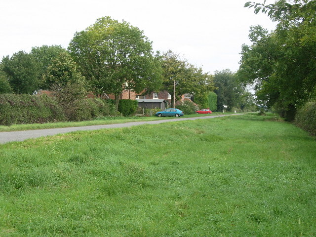
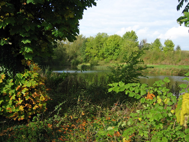
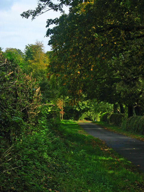
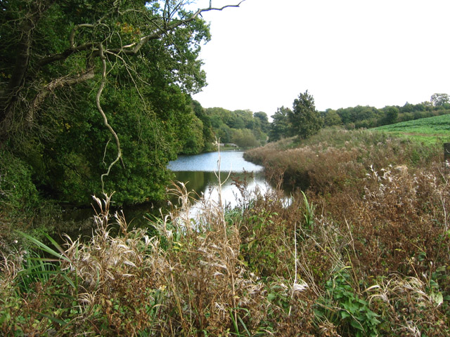
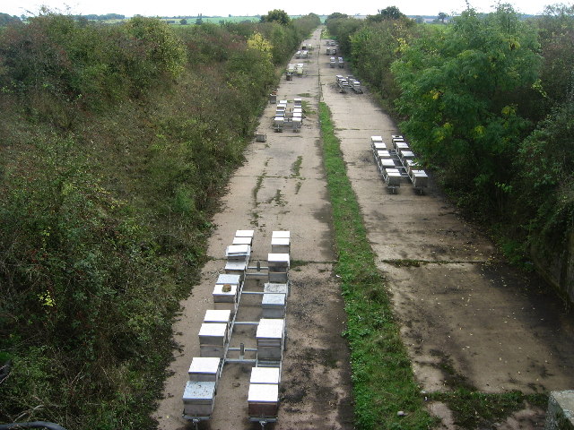
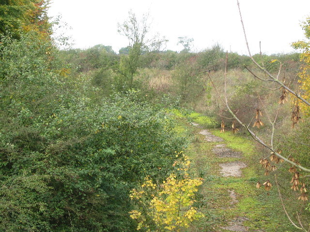
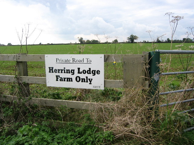
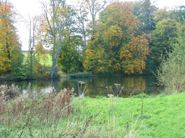
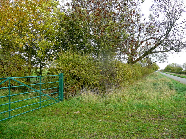
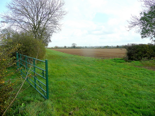
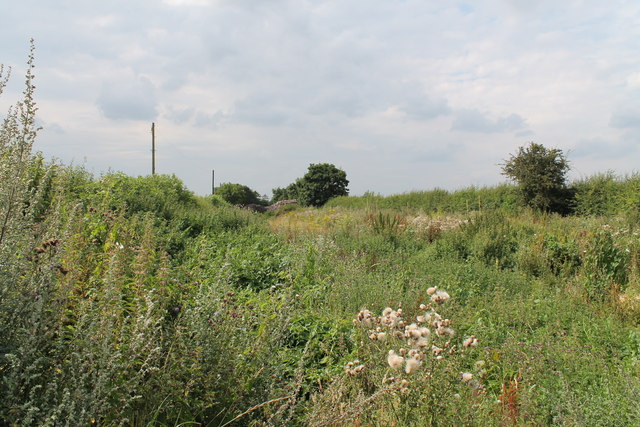
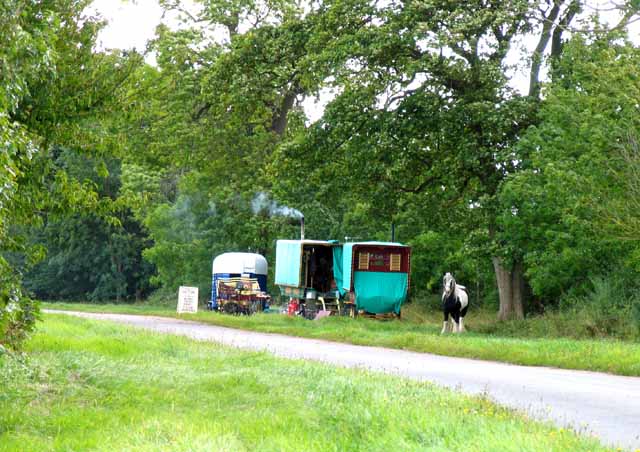
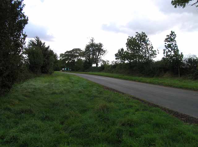
Jubilee Plantation Images
Images are sourced within 2km of 52.844612/-0.66635579 or Grid Reference SK8928. Thanks to Geograph Open Source API. All images are credited.


Jubilee Plantation is located at Grid Ref: SK8928 (Lat: 52.844612, Lng: -0.66635579)
Administrative County: Lincolnshire
District: South Kesteven
Police Authority: Lincolnshire
What 3 Words
///removal.desire.parkland. Near Colsterworth, Lincolnshire
Nearby Locations
Related Wikis
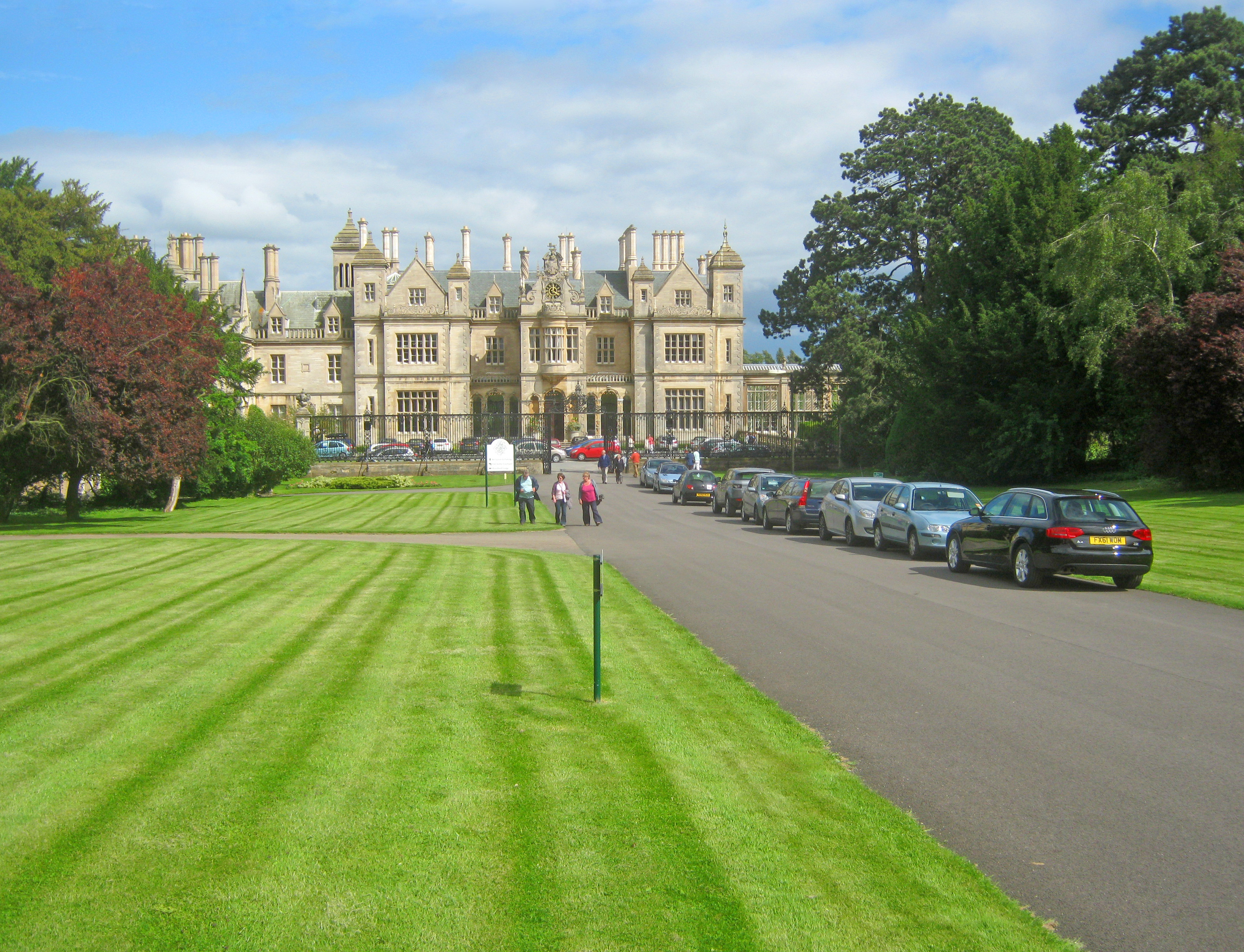
Stoke Rochford Hall
Stoke Rochford Hall is a large house built in scenic grounds, with a nearby golf course, next to the A1 in south Lincolnshire, England. The parkland and...

Stoke Rochford
Stoke Rochford is a small English village and civil parish 5.5 miles (9 km) south of Grantham in the South Kesteven district of Lincolnshire. The population...

Ponton Heath Barrow Cemetery
The Ponton Heath Barrow Cemetery is a group of at least eleven Middle Bronze Age round barrows south of Grantham, in the South Kesteven district of Lincolnshire...

St Andrew and St Mary's Church, Stoke Rochford
St Andrew and St Mary's Church is a Grade I listed Church of England parish church dedicated to Saint Andrew and Saint Mary, in the parish of Easton and...
Nearby Amenities
Located within 500m of 52.844612,-0.66635579Have you been to Jubilee Plantation?
Leave your review of Jubilee Plantation below (or comments, questions and feedback).