Ash Holt
Wood, Forest in Lincolnshire South Kesteven
England
Ash Holt
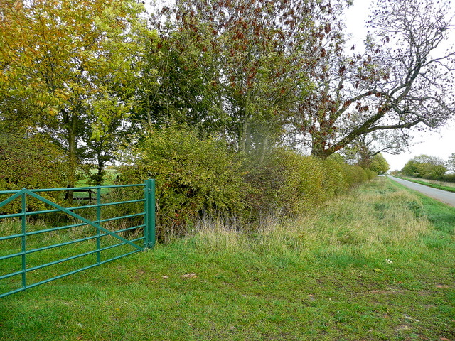
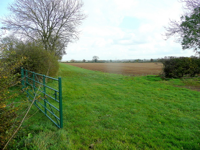
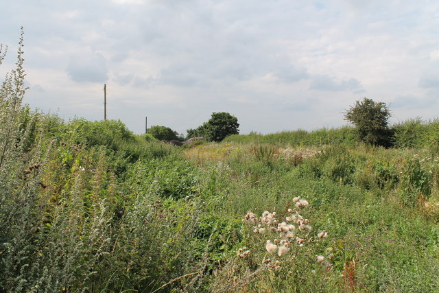
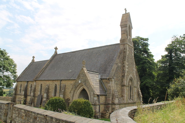
Ash Holt is a small village located in the county of Lincolnshire, England. Situated in the heart of the Lincolnshire Wolds, it is known for its picturesque setting and natural beauty. The village is surrounded by lush woodlands and dense forests, earning it the nickname "Wood" or "Forest".
The village itself is characterized by its quaint and charming atmosphere, with traditional stone cottages and narrow winding lanes. It is home to a close-knit community, with a population of around 300 residents. The village is primarily residential, with a few small businesses and amenities to cater to the locals.
Nature enthusiasts and outdoor lovers are drawn to Ash Holt for its stunning natural surroundings. The woodlands and forests surrounding the village offer ample opportunities for hiking, biking, and wildlife spotting. The area is known for its diverse range of flora and fauna, including rare plant species and various bird species.
Despite its rural setting, Ash Holt is well-connected to nearby towns and cities. The village is located just a short drive away from the market town of Louth and the coastal town of Mablethorpe, providing residents with easy access to a wider range of amenities and services.
In summary, Ash Holt is a peaceful and idyllic village nestled in the beautiful Lincolnshire Wolds. With its stunning woodlands, charming atmosphere, and strong sense of community, it offers a tranquil retreat for those seeking a slower pace of life and a deep connection with nature.
If you have any feedback on the listing, please let us know in the comments section below.
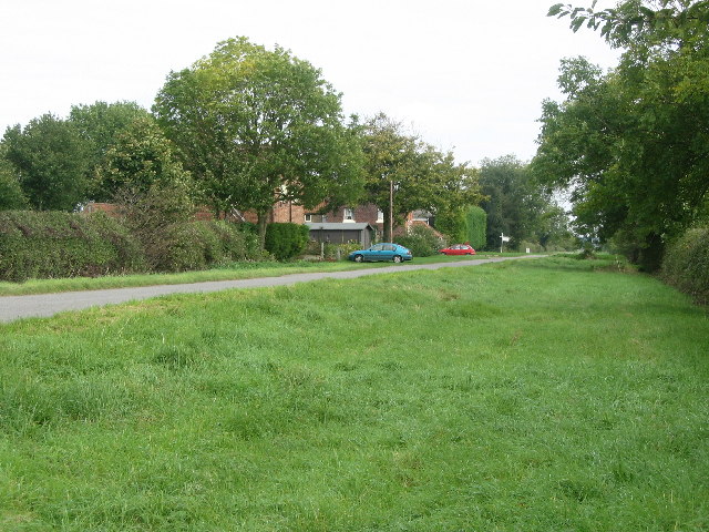
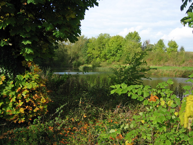
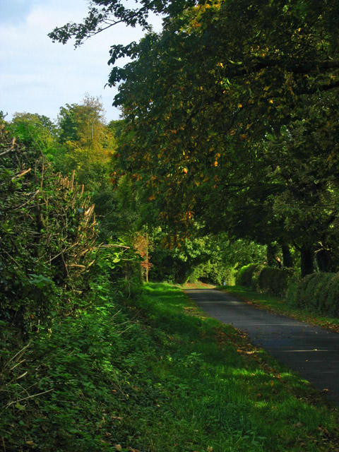
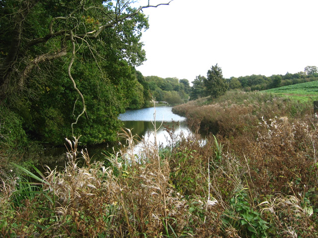
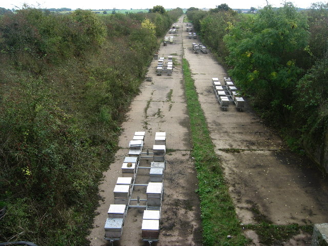
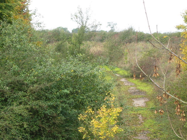
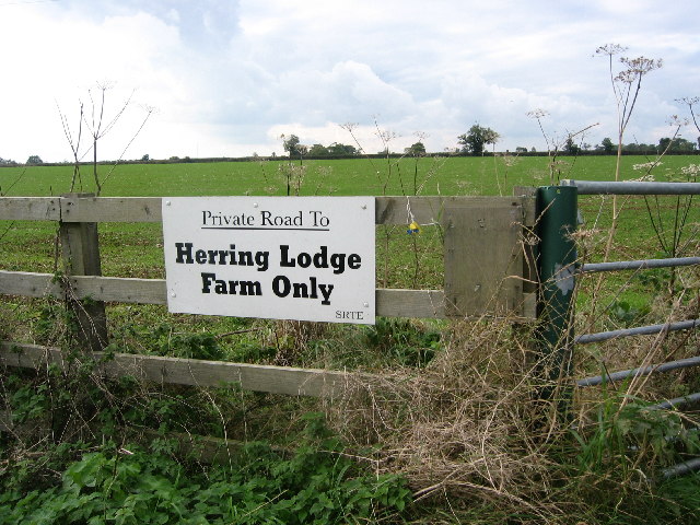
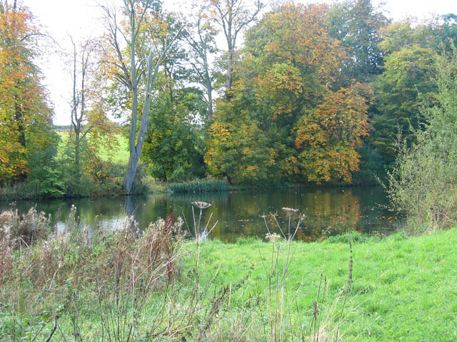
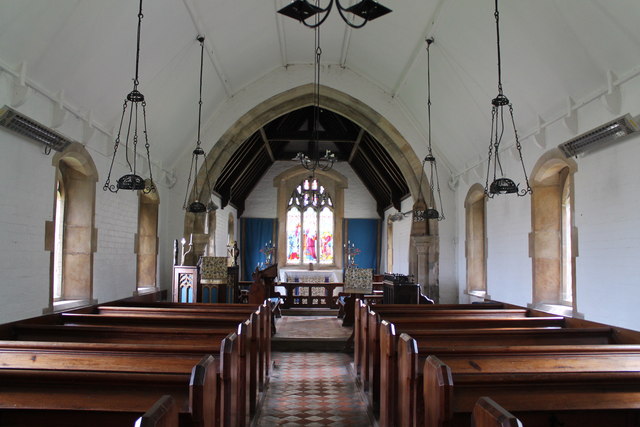
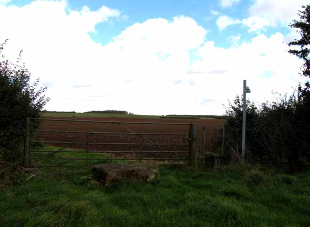
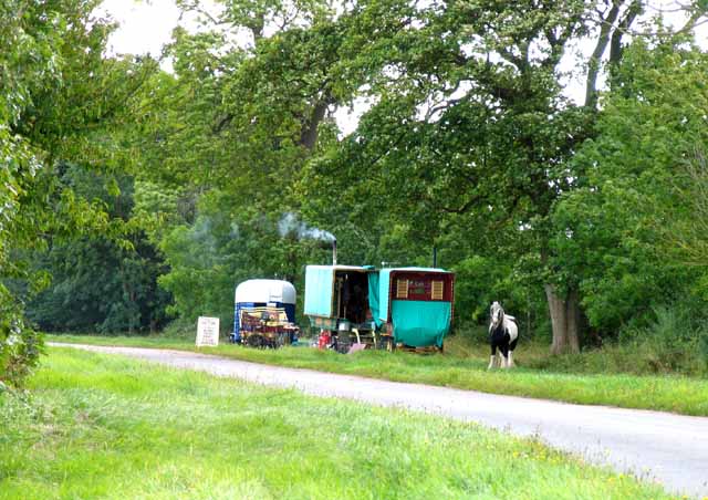
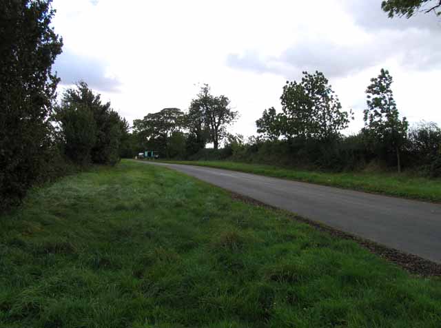
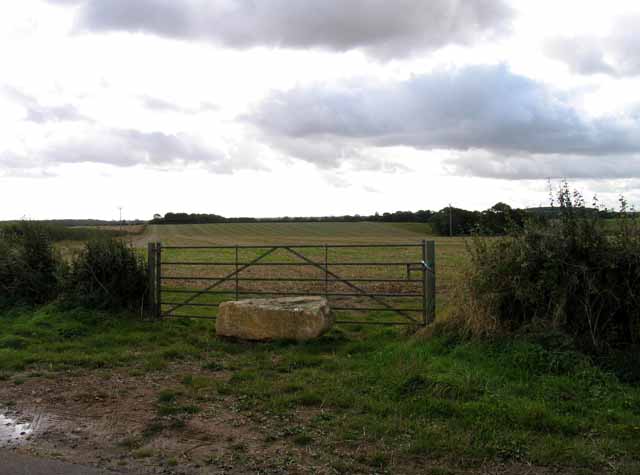
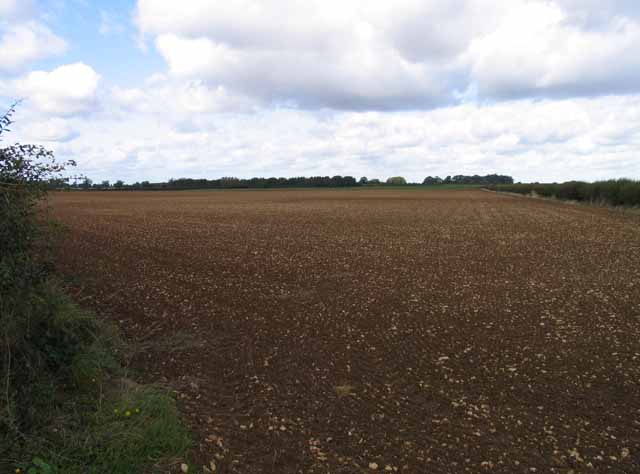
Ash Holt Images
Images are sourced within 2km of 52.84419/-0.67202584 or Grid Reference SK8928. Thanks to Geograph Open Source API. All images are credited.
Ash Holt is located at Grid Ref: SK8928 (Lat: 52.84419, Lng: -0.67202584)
Administrative County: Lincolnshire
District: South Kesteven
Police Authority: Lincolnshire
What 3 Words
///radiating.shunning.lame. Near Colsterworth, Lincolnshire
Nearby Locations
Related Wikis

Ponton Heath Barrow Cemetery
The Ponton Heath Barrow Cemetery is a group of at least eleven Middle Bronze Age round barrows south of Grantham, in the South Kesteven district of Lincolnshire...
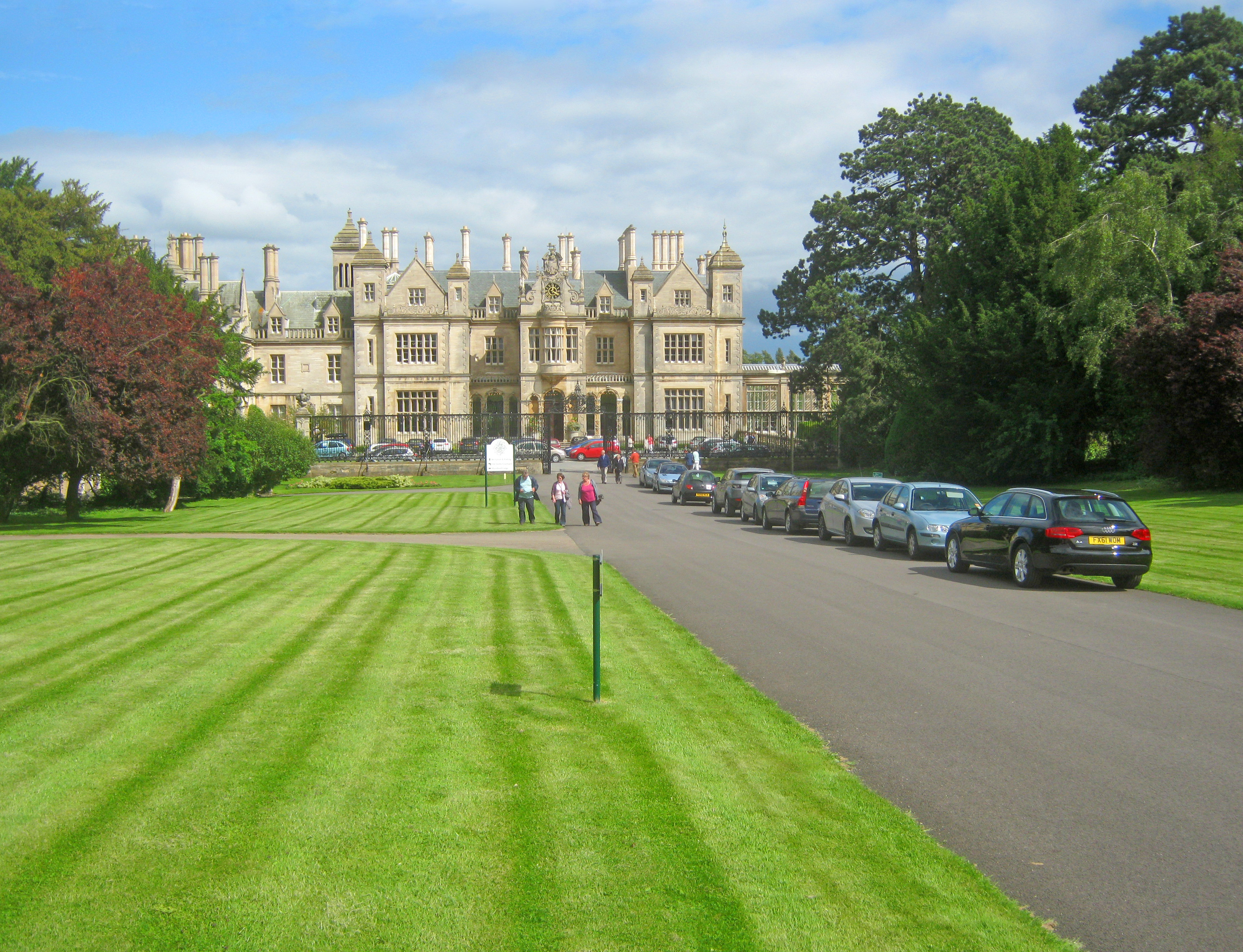
Stoke Rochford Hall
Stoke Rochford Hall is a large house built in scenic grounds, with a nearby golf course, next to the A1 in south Lincolnshire, England. The parkland and...
Skillington
Skillington is a village and civil parish in the South Kesteven district of Lincolnshire, England. The population of the civil parish at the 2021 census...

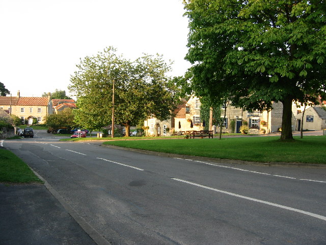
Stoke Rochford
Stoke Rochford is a small English village and civil parish 5.5 miles (9 km) south of Grantham in the South Kesteven district of Lincolnshire. The population...
Nearby Amenities
Located within 500m of 52.84419,-0.67202584Have you been to Ash Holt?
Leave your review of Ash Holt below (or comments, questions and feedback).