Gypsy Plantation

Wood, Forest in Lincolnshire South Kesteven

England

Gypsy Plantation

Hungerton Hall, Hungerton Built in 1782-85 for the Gregory de Ligne family of Harlaxton fame. Local limestone. The Tuscan porch is a later addition. Although Pevsner states that only one of the original flanking pavilions remains - formerly the brewhouse - there appear to be two here. Grade II listed.
Hungerton Hall, Hungerton Credit: Stephen Richards

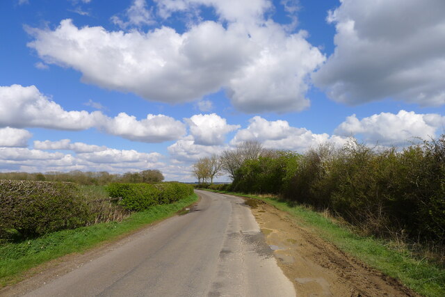
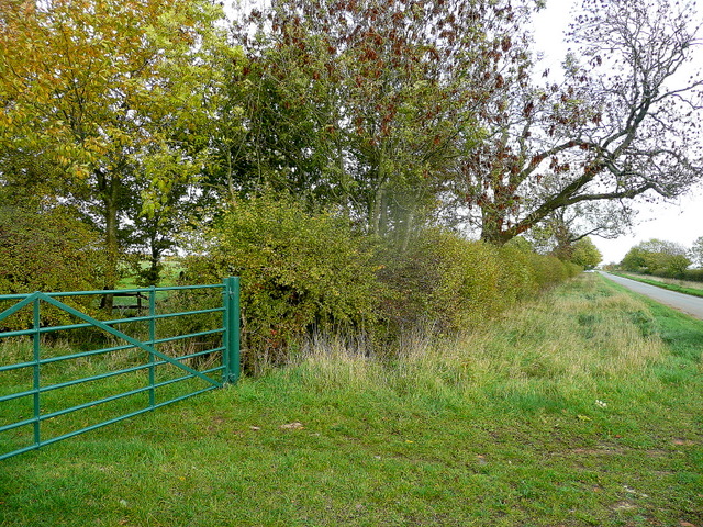
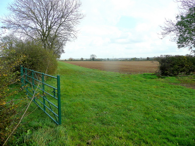
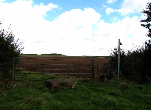
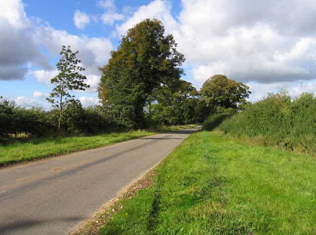
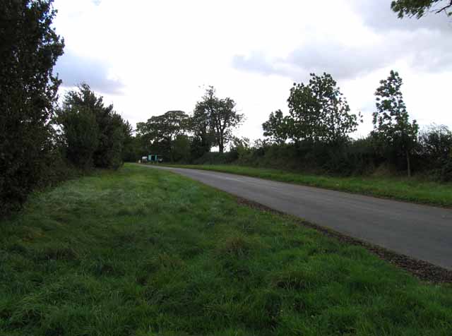
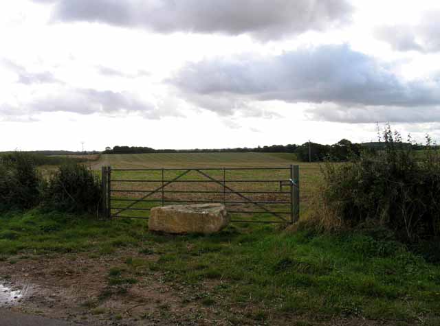
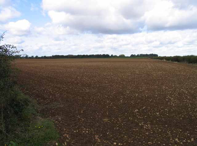
Gypsy Plantation, located in Lincolnshire, is a serene and picturesque woodland area known for its natural beauty and rich biodiversity. Covering a vast expanse of land, the plantation is primarily composed of dense woodlands and enchanting forests, offering a tranquil retreat for nature lovers and outdoor enthusiasts.

The plantation is home to a diverse range of plant species, including towering oak trees, majestic beech trees, and vibrant wildflowers that blanket the forest floor. This creates a captivating and ever-changing landscape throughout the seasons, with vibrant hues of green in spring and summer, and a stunning array of warm golden and red tones in autumn.

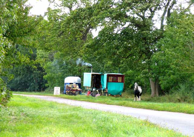
The woodland ecosystem also provides a habitat for a variety of wildlife species, making it an ideal location for birdwatching and animal spotting. Visitors may encounter native creatures such as deer, squirrels, rabbits, and a myriad of bird species, including woodpeckers, nightingales, and owls.

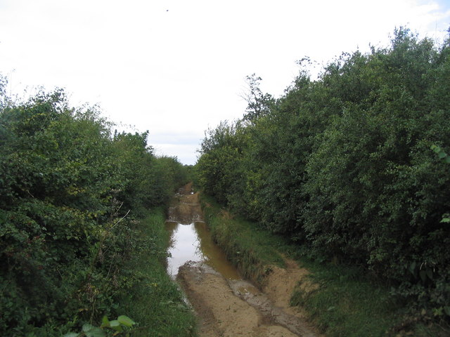
Gypsy Plantation offers several walking trails and paths that meander through the woods, allowing visitors to explore the area at their own pace. These paths are well-maintained and provide a safe and enjoyable experience for hikers, joggers, and families with children.

In addition to its natural beauty, Gypsy Plantation also holds historical significance, with remnants of old structures and artifacts scattered throughout the area. These remnants serve as a reminder of the plantation's past and add a touch of intrigue to the overall experience.

Overall, Gypsy Plantation in Lincolnshire is a captivating destination for those seeking solace in nature, offering a harmonious blend of scenic beauty, wildlife, and historical charm.

If you have any feedback on the listing, please let us know in the comments section below.

Gypsy Plantation Images

Images are sourced within 2km of 52.858462/-0.68056139 or Grid Reference SK8829. Thanks to Geograph Open Source API. All images are credited.

Hungerton Hall, Hungerton Built in 1782-85 for the Gregory de Ligne family of Harlaxton fame. Local limestone. The Tuscan porch is a later addition. Although Pevsner states that only one of the original flanking pavilions remains - formerly the brewhouse - there appear to be two here. Grade II listed.
Hungerton Hall, Hungerton
Built in 1782-85 for the Gregory de Ligne family of Harlaxton fame. Local limestone. The Tuscan porch is a later addition. Although Pevsner states that only one of the original flanking pavilions remains - formerly the brewhouse - there appear to be two here. Grade II listed.
Bend where Gorse Lane breaks away from the line of the Roman road For most of its length from its junction with the A607 near Croxgton Kerial (behind), Gorse Lane follows the line of a Roman road, the Salt Way. Margary provides evidence that the line of the Roman road continued straight ahead at the bend, running into the field beyond the hedge on the right, from where it continued on a straight course to Saltersford on the River Witham <span class="nowrap"><a title="https://archive.org/details/in.gov.ignca.6845" rel="nofollow ugc noopener" href="https://archive.org/details/in.gov.ignca.6845">Link</a><img style="margin-left:2px;" alt="External link" title="External link - shift click to open in new window" src="https://s1.geograph.org.uk/img/external.png" width="10" height="10"/></span>.
Bend where Gorse Lane breaks away from the line of the Roman road
For most of its length from its junction with the A607 near Croxgton Kerial (behind), Gorse Lane follows the line of a Roman road, the Salt Way. Margary provides evidence that the line of the Roman road continued straight ahead at the bend, running into the field beyond the hedge on the right, from where it continued on a straight course to Saltersford on the River Witham LinkExternal link.
Ponton Heath Farm, near Great Ponton, Lincolnshire
Gate by Heath Lane Looking east towardsPonton Heath Farm.
Gate by Heath Lane
Looking east towardsPonton Heath Farm.
Green Gate Opening onto arable land with wide headland near Ponton Heath Farm.
Green Gate
Opening onto arable land with wide headland near Ponton Heath Farm.
St Catherine's church. Wyville Grade II listed.
The church was built at the expense of George Gregory of Harlaxton in 1857, and the chancel in 1868. Also has a western bellcote, north porch and vestry.Plain interior.
St Catherine's church. Wyville
Grade II listed. The church was built at the expense of George Gregory of Harlaxton in 1857, and the chancel in 1868. Also has a western bellcote, north porch and vestry.Plain interior.
Interior, St Catherine's church, Wyville See <a href="https://www.geograph.org.uk/photo/3108732">SK8829 : St Catherine's church. Wyville</a>
Interior, St Catherine's church, Wyville
Footpath to Great Ponton
Heath Lane towards Hungarton
Knives sharpened It is interesting to note that the trees beyond the caravans are named "Gypsy Plantation".
Knives sharpened
It is interesting to note that the trees beyond the caravans are named "Gypsy Plantation".
Towards Great Ponton
Blocked gateway A chunk of ironstone to discourage entry to the field!
Blocked gateway
A chunk of ironstone to discourage entry to the field!
Fields south of Heath Lane Note how many small pieces of stone there are.
Fields south of Heath Lane
Note how many small pieces of stone there are.
Heath Lane passes The Pines
Field boundary south of Heath Lane The hedge no longer comes up to the road.
Field boundary south of Heath Lane
The hedge no longer comes up to the road.
Ploughed field, south-east of The Pines On the south side of Heath Lane.
Ploughed field, south-east of The Pines
On the south side of Heath Lane.
One block of ironstone is not enough Entrance barred to a double field gate on the north side of Heath Lane.
One block of ironstone is not enough
Entrance barred to a double field gate on the north side of Heath Lane.
One block or two? Field entrance blocked by stone inside the gate, on the north side of Heath Lane.
One block or two?
Field entrance blocked by stone inside the gate, on the north side of Heath Lane.
Show me another place!

Gypsy Plantation is located at Grid Ref: SK8829 (Lat: 52.858462, Lng: -0.68056139)

Administrative County: Lincolnshire

District: South Kesteven

Police Authority: Lincolnshire

What 3 Words

///secrets.silent.stoppage. Near Grantham, Lincolnshire

Related Wikis

Ponton Heath Barrow Cemetery

The Ponton Heath Barrow Cemetery is a group of at least eleven Middle Bronze Age round barrows south of Grantham, in the South Kesteven district of Lincolnshire...

Stroxton

Stroxton () is a village in the South Kesteven district of Lincolnshire, England. It is situated 3 miles (4.8 km) south from the centre of Grantham and...
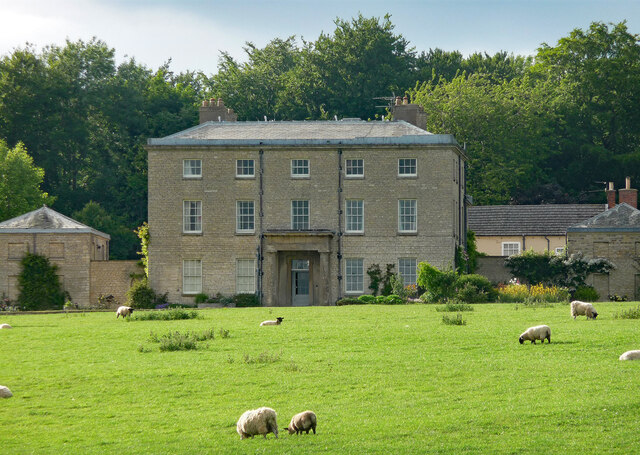
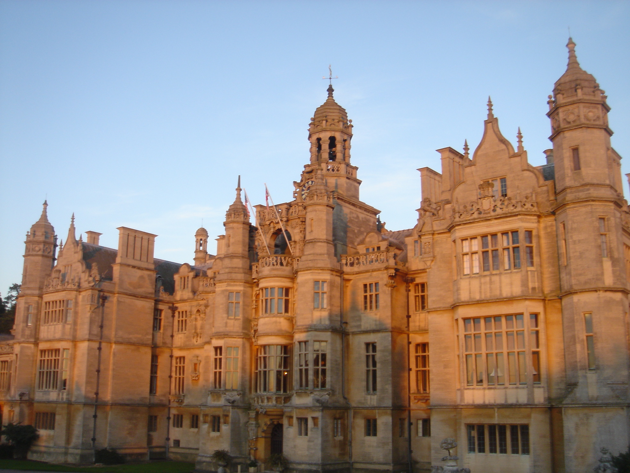
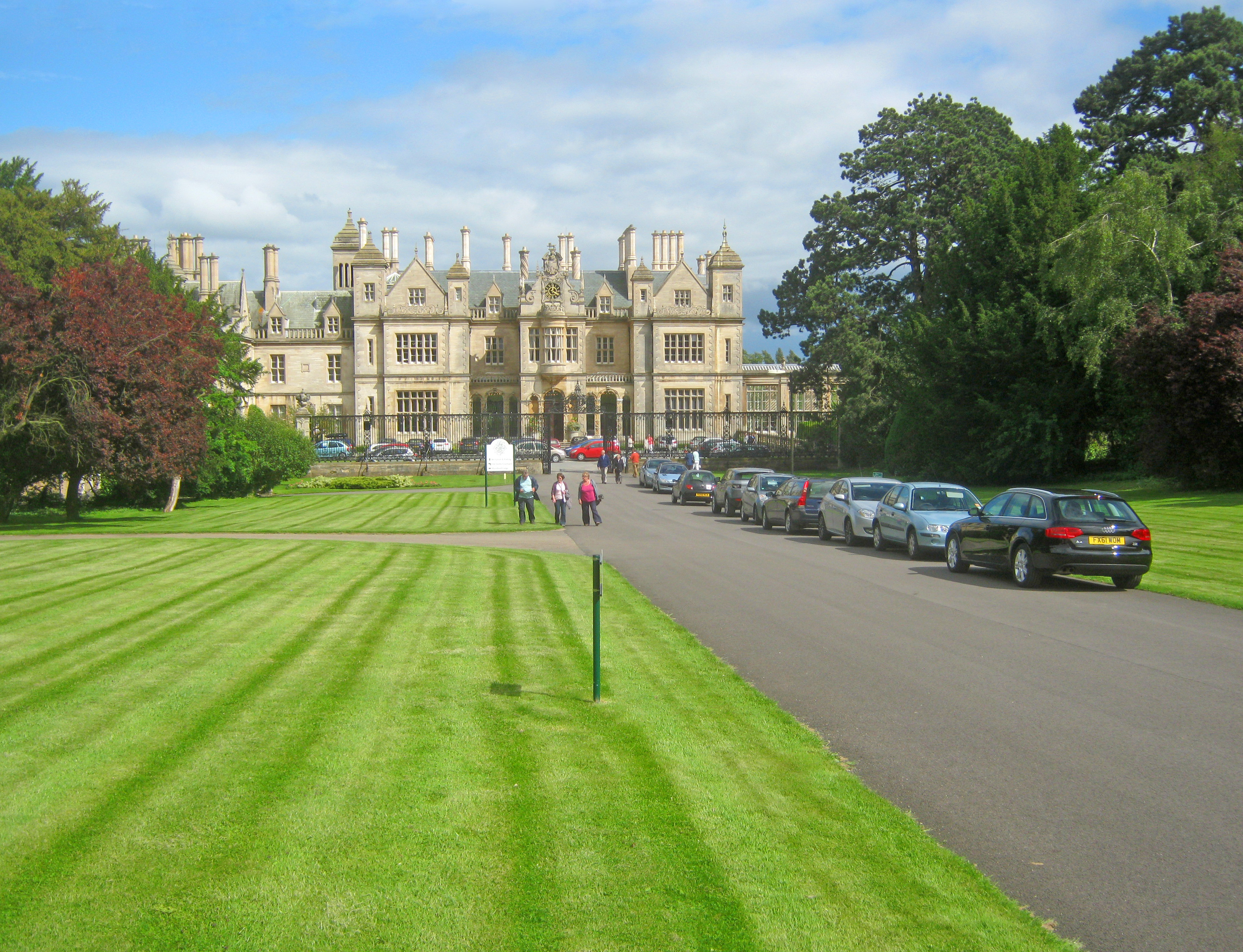
Harlaxton Manor

Harlaxton Manor is a Victorian country house in Harlaxton, Lincolnshire, England. It was built for Gregory Gregory, a local squire and businessman. Gregory...

RAF Harlaxton

Royal Air Force Harlaxton or more simply RAF Harlaxton is a former Royal Air Force station near the village of Harlaxton, 3 mi (4.8 km) south west of Grantham...

Harlaxton

Harlaxton is a village and civil parish in the South Kesteven district of Lincolnshire, England. It lies on the edge of the Vale of Belvoir and just off...

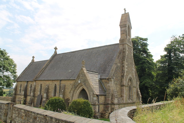
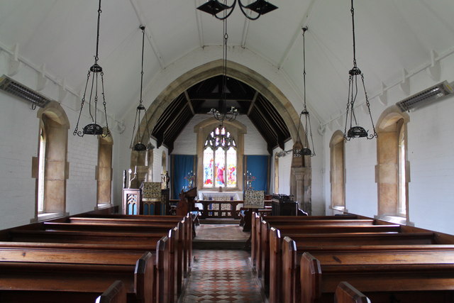
St Mary and St Peter's Church, Harlaxton

St Mary and St Peter's Church is a Grade I listed Church of England parish church dedicated to Saint Mary and Saint Peter in Harlaxton, Lincolnshire, England...

King Lud's Entrenchments and The Drift

King Lud's Entrenchments and The Drift is a 23.9 hectares (59 acres) biological Site of Special Scientific Interest which straddles the border between...

Stoke Rochford Hall

Stoke Rochford Hall is a large house built in scenic grounds, with a nearby golf course, next to the A1 in south Lincolnshire, England. The parkland and...

Nearby Amenities

Located within 500m of 52.858462,-0.68056139
Ponton Heath
Place: locality
Source: Bing
Lat/Long: 52.8595011/-0.6790942
Power: pole
Lat/Long: 52.8585268/-0.6836681
Power: pole
Lat/Long: 52.8570563/-0.6782124
Power: pole
Lat/Long: 52.8574417/-0.6796179
Power: pole
Lat/Long: 52.8566773/-0.6768713
Power: pole
Lat/Long: 52.8562821/-0.675482
Power: pole
Lat/Long: 52.8589349/-0.6850896
Power: pole
Lat/Long: 52.8567278/-0.6737136
Power: pole
Lat/Long: 52.8593074/-0.6864629
Power: pole
Lat/Long: 52.8581835/-0.6823216
Power: pole
Lat/Long: 52.8576834/-0.6733971
Power: pole
Lat/Long: 52.8578013/-0.6809215
Power: pole
Lat/Long: 52.8563082/-0.6858621
Power: pole
Lat/Long: 52.8576814/-0.6840543
Barrier: stile
Material: wood
Stile: stepover
Lat/Long: 52.8596365/-0.6843478
The data included in this document is from www.openstreetmap.org. The data is made available under ODbL.

Have you been to Gypsy Plantation?

Leave your review of Gypsy Plantation below (or comments, questions and feedback).