Burton's Plantation

Wood, Forest in Lincolnshire South Kesteven

England

Burton's Plantation

Hungerton Hall, Hungerton Built in 1782-85 for the Gregory de Ligne family of Harlaxton fame. Local limestone. The Tuscan porch is a later addition. Although Pevsner states that only one of the original flanking pavilions remains - formerly the brewhouse - there appear to be two here. Grade II listed.
Hungerton Hall, Hungerton Credit: Stephen Richards

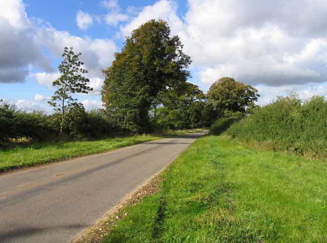
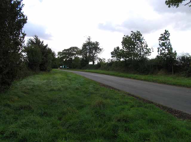
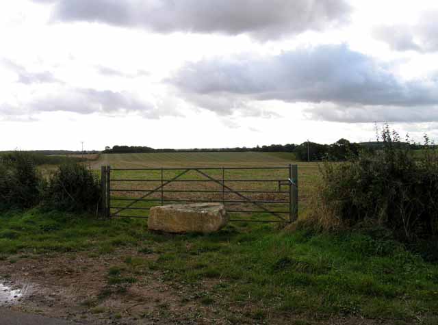
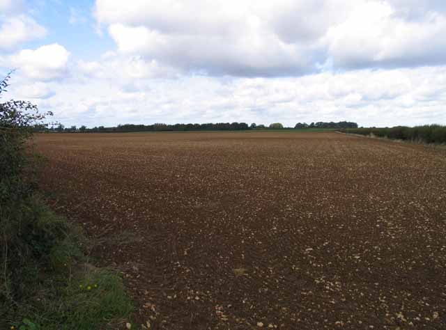
Burton's Plantation, located in Lincolnshire, England, is a captivating woodland area known for its lush greenery and tranquil atmosphere. Situated within the larger area of Burton's Forest, this plantation offers a serene escape from the bustling city life.

The woodland is predominantly composed of a variety of tree species, including oak, beech, and birch, creating a diverse and vibrant ecosystem. The tall, towering trees provide a dense canopy, filtering the sunlight and casting dappled shadows on the forest floor, creating a picturesque setting.

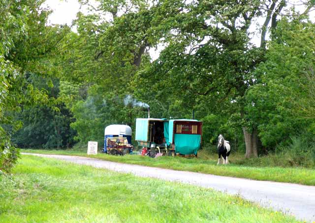
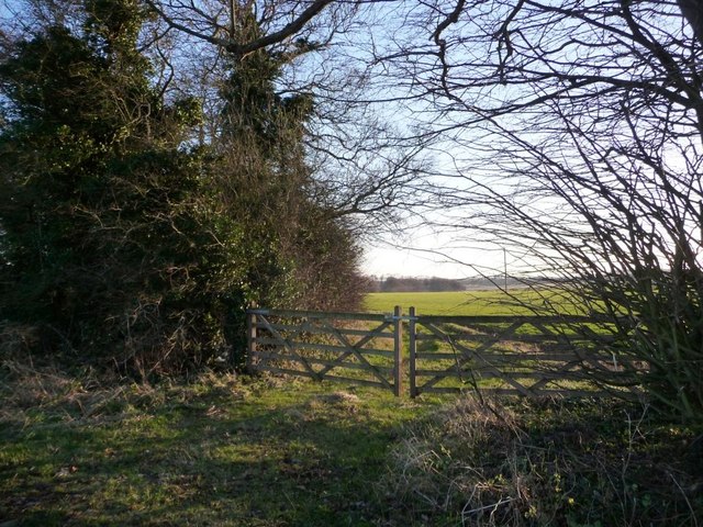
Burton's Plantation is home to a rich array of wildlife, making it a popular spot for nature enthusiasts and bird watchers. Numerous bird species, such as woodpeckers, finches, and thrushes, can be spotted throughout the year. Additionally, the woodland provides a habitat for small mammals like squirrels, rabbits, and hedgehogs.

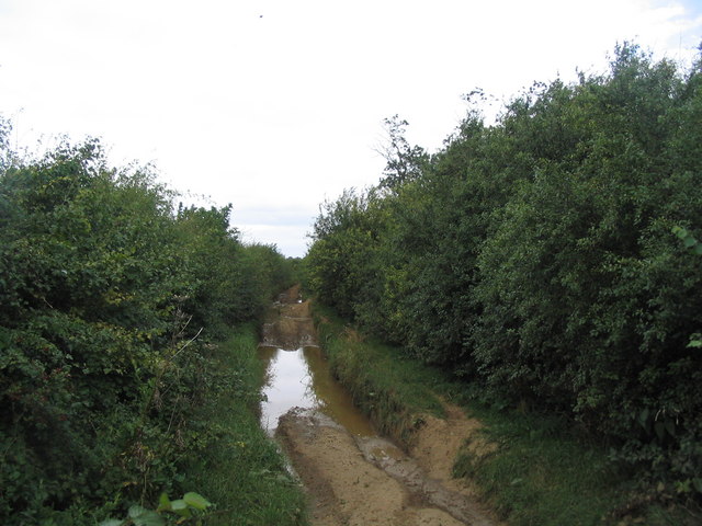
Visitors to Burton's Plantation can explore a network of well-maintained footpaths and trails, allowing them to immerse themselves in the beauty of the woodland. The plantation also features picnic areas, making it an ideal place for families and friends to enjoy a leisurely outdoor lunch amidst the natural surroundings.

The plantation is open to the public year-round, offering a peaceful retreat for those seeking solace in nature. Whether it's a leisurely stroll, a bird-watching expedition, or simply a moment of tranquility away from the outside world, Burton's Plantation provides a serene and picturesque setting for all who visit.

If you have any feedback on the listing, please let us know in the comments section below.

Burton's Plantation Images

Images are sourced within 2km of 52.852012/-0.6907515 or Grid Reference SK8829. Thanks to Geograph Open Source API. All images are credited.

Hungerton Hall, Hungerton Built in 1782-85 for the Gregory de Ligne family of Harlaxton fame. Local limestone. The Tuscan porch is a later addition. Although Pevsner states that only one of the original flanking pavilions remains - formerly the brewhouse - there appear to be two here. Grade II listed.
Hungerton Hall, Hungerton
Built in 1782-85 for the Gregory de Ligne family of Harlaxton fame. Local limestone. The Tuscan porch is a later addition. Although Pevsner states that only one of the original flanking pavilions remains - formerly the brewhouse - there appear to be two here. Grade II listed.
St Catherine's church. Wyville Grade II listed.
The church was built at the expense of George Gregory of Harlaxton in 1857, and the chancel in 1868. Also has a western bellcote, north porch and vestry.Plain interior.
St Catherine's church. Wyville
Grade II listed. The church was built at the expense of George Gregory of Harlaxton in 1857, and the chancel in 1868. Also has a western bellcote, north porch and vestry.Plain interior.
Interior, St Catherine's church, Wyville See <a href="https://www.geograph.org.uk/photo/3108732">SK8829 : St Catherine's church. Wyville</a>
Interior, St Catherine's church, Wyville
Footpath to Great Ponton
Heath Lane towards Hungarton
Knives sharpened It is interesting to note that the trees beyond the caravans are named "Gypsy Plantation".
Knives sharpened
It is interesting to note that the trees beyond the caravans are named "Gypsy Plantation".
Towards Great Ponton
Blocked gateway A chunk of ironstone to discourage entry to the field!
Blocked gateway
A chunk of ironstone to discourage entry to the field!
Fields south of Heath Lane Note how many small pieces of stone there are.
Fields south of Heath Lane
Note how many small pieces of stone there are.
Heath Lane passes The Pines
Field boundary south of Heath Lane The hedge no longer comes up to the road.
Field boundary south of Heath Lane
The hedge no longer comes up to the road.
Ploughed field, south-east of The Pines On the south side of Heath Lane.
Ploughed field, south-east of The Pines
On the south side of Heath Lane.
One block of ironstone is not enough Entrance barred to a double field gate on the north side of Heath Lane.
One block of ironstone is not enough
Entrance barred to a double field gate on the north side of Heath Lane.
One block or two? Field entrance blocked by stone inside the gate, on the north side of Heath Lane.
One block or two?
Field entrance blocked by stone inside the gate, on the north side of Heath Lane.
South side of arable field, Ponton Heath On the north side of Heath Lane, east of The Pines.
South side of arable field, Ponton Heath
On the north side of Heath Lane, east of The Pines.
Western edge of arable field, Ponton Heath In the long shadow of the boundary hedge on a late December afternoon.
Western edge of arable field, Ponton Heath
In the long shadow of the boundary hedge on a late December afternoon.
Eastern side of pasture field, Ponton Heath With a long shadow cast by the hedge on the north side of Heath Lane.
Eastern side of pasture field, Ponton Heath
With a long shadow cast by the hedge on the north side of Heath Lane.
Field gates at the side of Gypsy Plantation On the south side of Heath Lane.
Field gates at the side of Gypsy Plantation
On the south side of Heath Lane.
Show me another place!

Burton's Plantation is located at Grid Ref: SK8829 (Lat: 52.852012, Lng: -0.6907515)

Administrative County: Lincolnshire

District: South Kesteven

Police Authority: Lincolnshire

What 3 Words

///smart.plotting.thumb. Near Colsterworth, Lincolnshire

Related Wikis

Ponton Heath Barrow Cemetery

The Ponton Heath Barrow Cemetery is a group of at least eleven Middle Bronze Age round barrows south of Grantham, in the South Kesteven district of Lincolnshire...

King Lud's Entrenchments and The Drift

King Lud's Entrenchments and The Drift is a 23.9 hectares (59 acres) biological Site of Special Scientific Interest which straddles the border between...

RAF Saltby

Royal Air Force Saltby or more simply RAF Saltby is a former Royal Air Force station located near Saltby, Leicestershire, England The following units were...

Buckminster Gliding Club

The Buckminster Gliding Club (BGC) is a gliding club based at Saltby Airfield on the Leicestershire / Lincolnshire border, England. It is affiliated with...

Stroxton

Stroxton () is a village in the South Kesteven district of Lincolnshire, England. It is situated 3 miles (4.8 km) south from the centre of Grantham and...
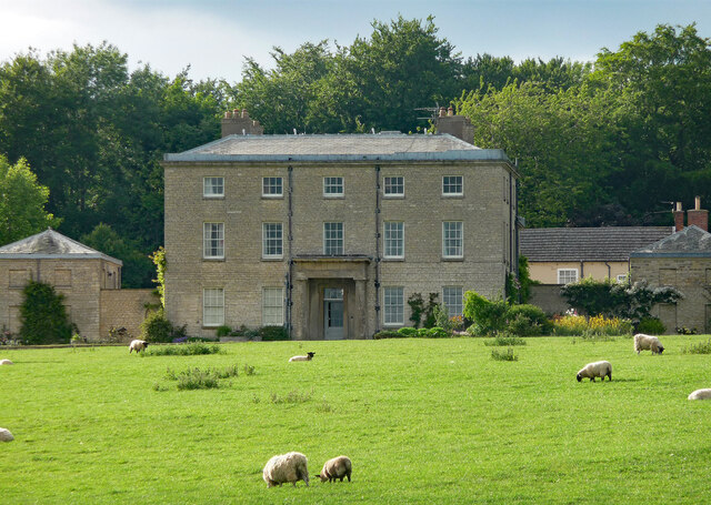
Harlaxton Manor

Harlaxton Manor is a Victorian country house in Harlaxton, Lincolnshire, England. It was built for Gregory Gregory, a local squire and businessman. Gregory...

Skillington

Skillington is a village and civil parish in the South Kesteven district of Lincolnshire, England. The population of the civil parish at the 2021 census...

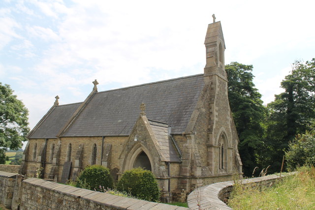
St Mary and St Peter's Church, Harlaxton

St Mary and St Peter's Church is a Grade I listed Church of England parish church dedicated to Saint Mary and Saint Peter in Harlaxton, Lincolnshire, England...

Nearby Amenities

Located within 500m of 52.852012,-0.6907515
Wyville
Is In: Lincolnshire, England, UK
Place: hamlet
Source: NPE
Lat/Long: 52.8543662/-0.6907722
Beech Farm
Place: farm
Source: Bing
Lat/Long: 52.8541404/-0.6896352
Sycamore Farm
Place: farm
Source: Bing
Lat/Long: 52.8528871/-0.6923725
The City
Place: locality
Source: Bing
Lat/Long: 52.8525227/-0.686845
The Ell
Place: locality
Source: Bing
Lat/Long: 52.8486251/-0.6882968
Turning Circle
Lat/Long: 52.8529548/-0.6931817
The data included in this document is from www.openstreetmap.org. The data is made available under ODbL.

Have you been to Burton's Plantation?

Leave your review of Burton's Plantation below (or comments, questions and feedback).