Brick Kiln Covert
Wood, Forest in Rutland
England
Brick Kiln Covert

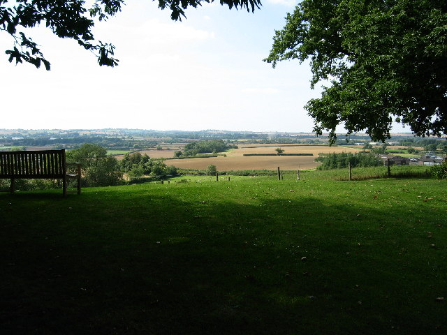
Brick Kiln Covert is a picturesque woodland area situated in the county of Rutland, England. Covering an approximate area of 20 acres, it is one of the many enchanting woodlands found in this region. The covert derives its name from the former brick kiln that once operated in the area, leaving behind remnants of its industrial past.
The woodland is predominantly composed of native deciduous trees, such as oak, ash, and birch, which create a dense canopy overhead, providing shade and shelter for a diverse range of flora and fauna. The forest floor is adorned with a vibrant carpet of wildflowers during the spring and summer months, including bluebells, primroses, and wood anemones, adding a burst of color to the woodland landscape.
Brick Kiln Covert is a haven for wildlife, attracting a variety of bird species, including woodpeckers, song thrushes, and tawny owls. It is also home to small mammals such as squirrels, rabbits, and badgers, which can often be spotted foraging among the undergrowth. The woodland is crisscrossed by a network of well-maintained footpaths, providing visitors with the opportunity to explore its natural beauty and enjoy peaceful walks.
This tranquil woodland retreat offers a serene escape from the hustle and bustle of everyday life, making it a popular destination for nature enthusiasts, walkers, and photographers alike. Its natural beauty, combined with its rich history, creates a unique and captivating experience for those who venture into Brick Kiln Covert.
If you have any feedback on the listing, please let us know in the comments section below.
Brick Kiln Covert Images
Images are sourced within 2km of 52.692706/-0.68825678 or Grid Reference SK8811. Thanks to Geograph Open Source API. All images are credited.


Brick Kiln Covert is located at Grid Ref: SK8811 (Lat: 52.692706, Lng: -0.68825678)
Unitary Authority: Rutland
Police Authority: Leicestershire
What 3 Words
///chest.countries.waggled. Near Burley, Rutland
Nearby Locations
Related Wikis

Burley Castle
Burley Castle, more commonly called Alstoe, was to the north of the village of Burley, two miles north-east of Oakham in the county of Rutland, grid reference...
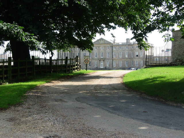
The Park, Burley-on-the-Hill
The Park was a cricket ground situated in the grounds of the mansion of George Finch, 9th Earl of Winchilsea at Burley-on-the-Hill in Rutland. It was used...
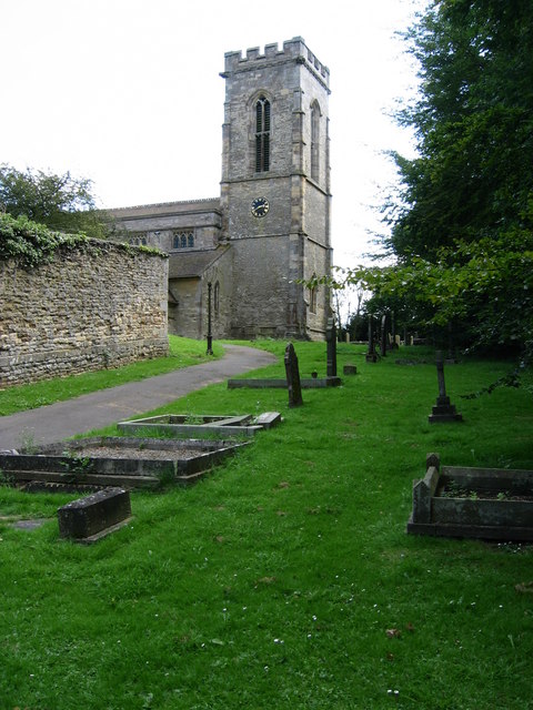
Holy Cross Church, Burley
Holy Cross Church is a redundant Anglican church in the village of Burley, Rutland, England. It is recorded in the National Heritage List for England as...

Oakham Rural District
Oakham was a rural district in Rutland, England from 1894 to 1974, covering the north of the county. The rural district had its origins in the Oakham Rural...
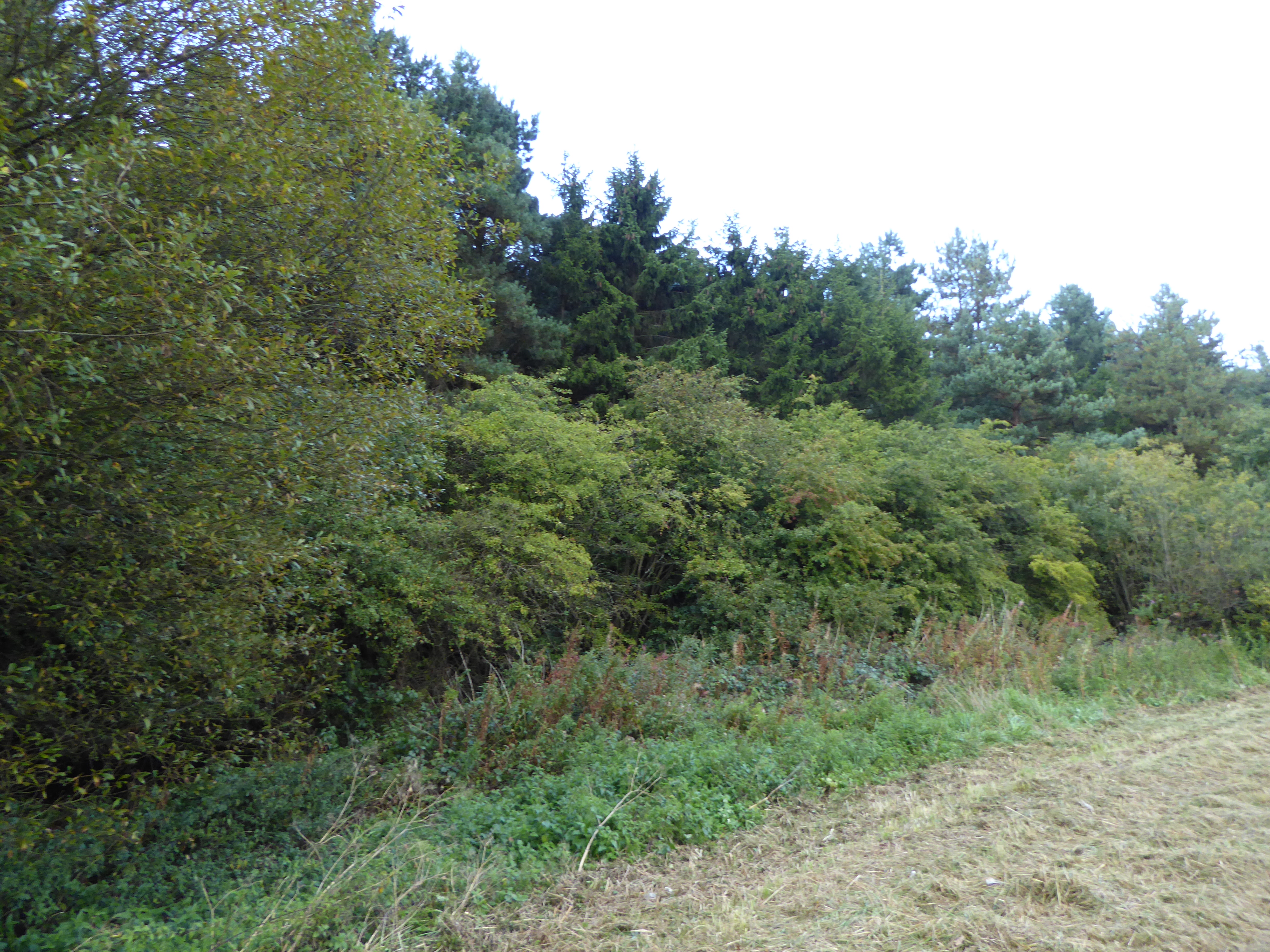
Burley and Rushpit Woods
Burley and Rushpit Woods is a 161.2 hectares (398 acres) biological Site of Special Scientific Interest in the parish of Burley, east of Oakham in Rutland...
Burley, Rutland
Burley, or Burley-on-the-Hill, is a village and civil parish in the county of Rutland in the East Midlands of England. It is located two miles (3 km)...

HM Prison Ashwell
HM Prison Ashwell was a Category C men's prison located in the parish of Burley, in the county of Rutland, England. The site of the former prison is located...
Cottesmore Amateurs F.C.
Cottesmore AFC (formerly known as Cottesmore Amateurs FC) is a football club based in Cottesmore, Rutland, England. They are currently members of the Leicestershire...
Nearby Amenities
Located within 500m of 52.692706,-0.68825678Have you been to Brick Kiln Covert?
Leave your review of Brick Kiln Covert below (or comments, questions and feedback).