Parson's Wood
Wood, Forest in Lincolnshire North Kesteven
England
Parson's Wood
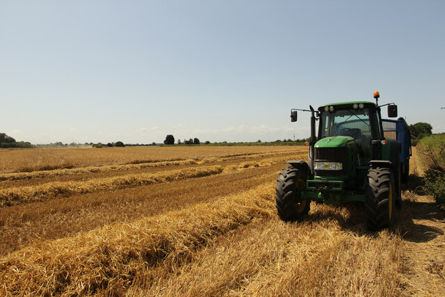
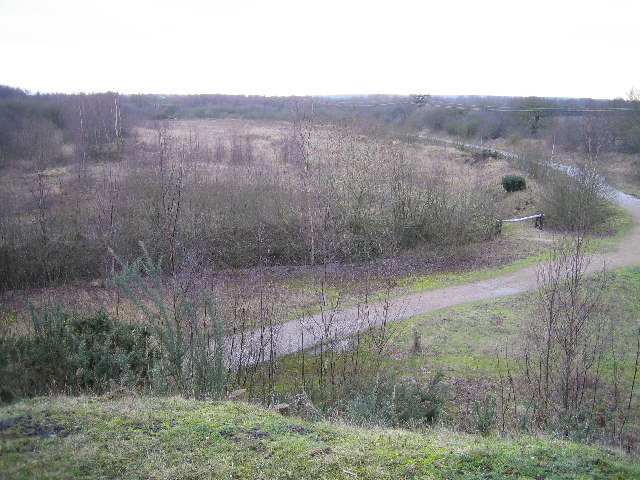
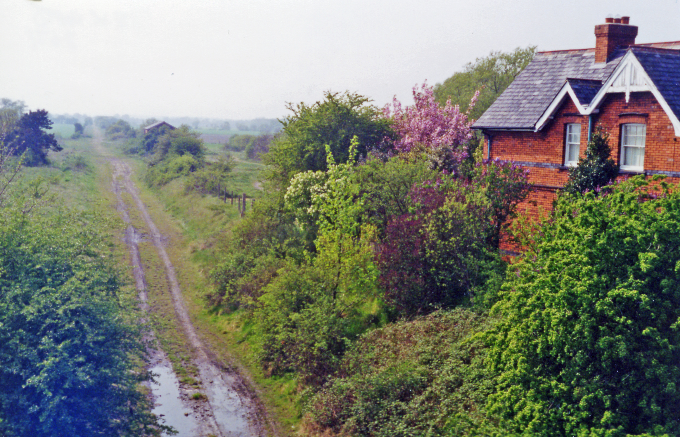
Parson's Wood is a notable woodland located in the county of Lincolnshire, England. Situated near the town of Wood, this forested area is known for its natural beauty and diverse ecosystem. The wood spans across an expansive area of approximately 100 hectares, making it a significant natural landmark in the region.
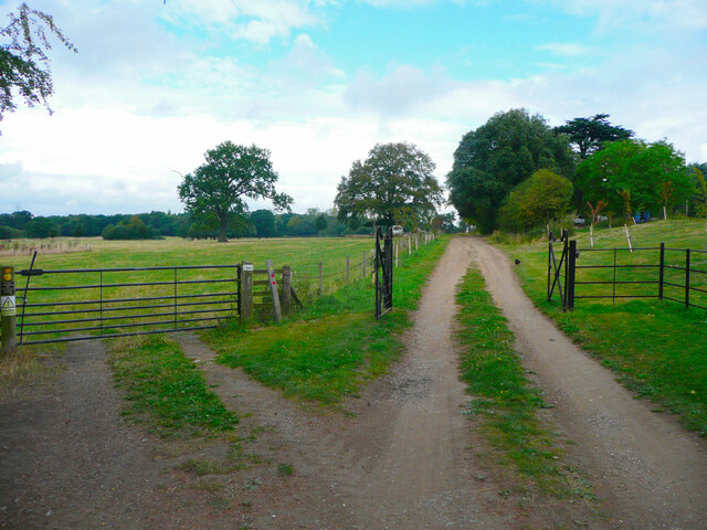
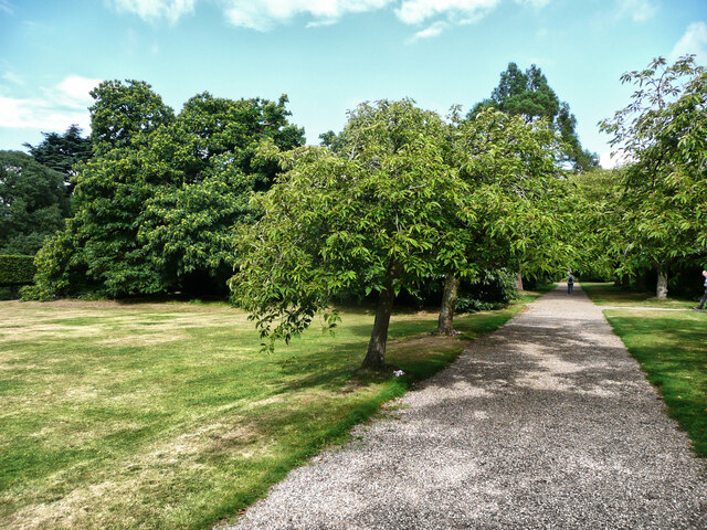
The wood is predominantly composed of deciduous trees, such as oak, beech, and birch, which create a vibrant and ever-changing landscape throughout the seasons. Visitors to Parson's Wood can enjoy leisurely walks along the well-maintained trails, immersing themselves in the peaceful ambiance of the woodland.
Aside from its picturesque scenery, Parson's Wood is also home to a wide variety of wildlife. The forest provides a habitat for numerous species, including birds, mammals, and insects. Birdwatchers can spot an array of feathered creatures such as woodpeckers, owls, and various songbirds. Additionally, small mammals like squirrels, foxes, and rabbits can be observed in their natural environment.
The wood is managed by local authorities, ensuring its preservation and conservation for future generations. Efforts are made to maintain the ecological balance of the woodland, allowing for the sustainable growth of its flora and fauna.
Parson's Wood is a popular destination for nature enthusiasts, photographers, and those seeking a tranquil escape from the hustle and bustle of everyday life. Its natural charm and diverse wildlife make it an ideal location for anyone looking to connect with nature in the heart of Lincolnshire.
If you have any feedback on the listing, please let us know in the comments section below.
Parson's Wood Images
Images are sourced within 2km of 53.210935/-0.674281 or Grid Reference SK8869. Thanks to Geograph Open Source API. All images are credited.


Parson's Wood is located at Grid Ref: SK8869 (Lat: 53.210935, Lng: -0.674281)
Administrative County: Lincolnshire
District: North Kesteven
Police Authority: Lincolnshire
What 3 Words
///levels.nest.mango. Near Skellingthorpe, Lincolnshire
Nearby Locations
Related Wikis
Doddington, Lincolnshire
Doddington is a village in the civil parish of Doddington and Whisby in the North Kesteven district of Lincolnshire, England. The population of the civil...

Doddington Hall, Lincolnshire
Doddington Hall is, from the outside, an Elizabethan prodigy house or mansion complete with walled courtyards and a gabled gatehouse. Inside it was largely...
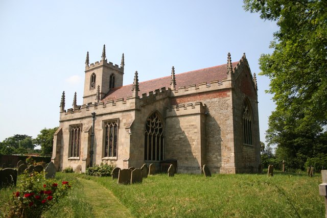
All Saints' Church, Harby
All Saints' Church, Harby is a Grade II listed parish church in the Church of England in Harby, Nottinghamshire. == History == The church in Harby was...

Harby, Nottinghamshire
Harby is a village and civil parish in the Newark and Sherwood district of Nottinghamshire, England. It is close to the Lincolnshire border with Doddington...
Eagle, Lincolnshire
Eagle is a village in the North Kesteven district of Lincolnshire, England. It is situated 7 miles (11 km) south-west from Lincoln and 2 miles (3.2 km...
Whisby
Whisby is a hamlet in the civil parish of Doddington and Whisby, in the North Kesteven district of Lincolnshire, England. It is situated 5 miles (8.0 km...
Doddington and Harby railway station
Doddington and Harby railway station is a former railway station on the Nottinghamshire border with Lincolnshire, England. == Context == The station was...
Wigsley
Wigsley is a village and civil parish in Nottinghamshire, England. The population of the civil parish taken at the 2011 census was 178. It is located...
Nearby Amenities
Located within 500m of 53.210935,-0.674281Have you been to Parson's Wood?
Leave your review of Parson's Wood below (or comments, questions and feedback).