Fox Holt
Wood, Forest in Lincolnshire North Kesteven
England
Fox Holt
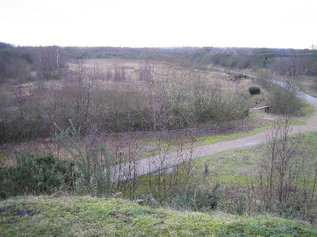
Fox Holt is a picturesque woodland area located in Lincolnshire, England. Situated near the town of Wood, the forest is known for its abundant wildlife and serene atmosphere. Covering an area of approximately 100 acres, Fox Holt is a popular destination for nature enthusiasts and outdoor lovers.
The woodland is characterized by its dense, mature trees, predominantly consisting of oak, birch, and beech varieties. The towering canopies provide a sheltered habitat for a diverse range of flora and fauna, creating a thriving ecosystem. Visitors to Fox Holt can expect to encounter a variety of bird species, including woodpeckers, owls, and various songbirds. Additionally, the forest is home to small mammals such as foxes, rabbits, and squirrels, which can often be spotted darting amongst the trees.
The forest offers several walking trails and paths, allowing visitors to immerse themselves in the natural beauty of the surroundings. These paths wind through the woodland, offering glimpses of tranquil ponds and meandering streams. It is not uncommon to stumble upon a hidden clearing, perfect for a peaceful picnic or a moment of quiet reflection.
Fox Holt is carefully maintained by local conservation efforts, ensuring the preservation of its natural beauty for generations to come. The forest is open to the public year-round and offers a wonderful escape from the hustle and bustle of everyday life. Whether it's a leisurely stroll, birdwatching, or simply enjoying the tranquility of nature, Fox Holt in Lincolnshire is a must-visit destination for nature enthusiasts.
If you have any feedback on the listing, please let us know in the comments section below.
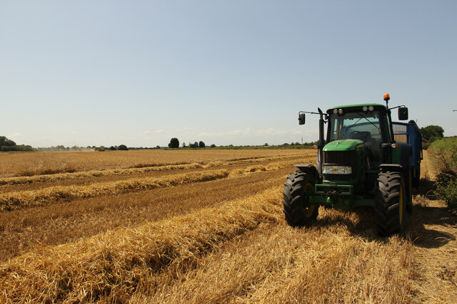
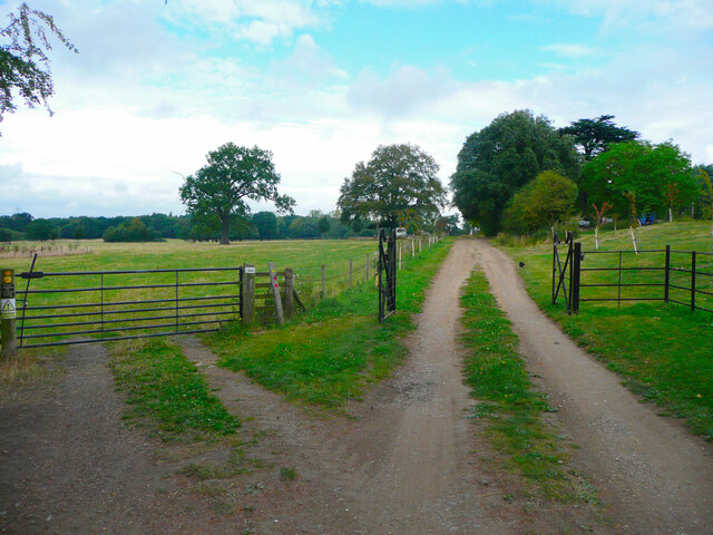
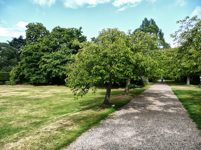
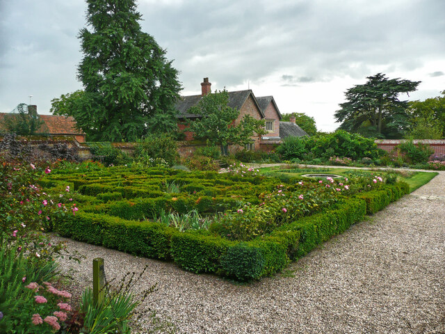
Fox Holt Images
Images are sourced within 2km of 53.216099/-0.67788066 or Grid Reference SK8869. Thanks to Geograph Open Source API. All images are credited.


Fox Holt is located at Grid Ref: SK8869 (Lat: 53.216099, Lng: -0.67788066)
Administrative County: Lincolnshire
District: North Kesteven
Police Authority: Lincolnshire
What 3 Words
///resembles.guests.vaulting. Near Skellingthorpe, Lincolnshire
Nearby Locations
Related Wikis
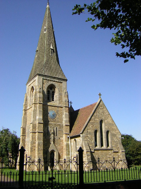
All Saints' Church, Harby
All Saints' Church, Harby is a Grade II listed parish church in the Church of England in Harby, Nottinghamshire. == History == The church in Harby was...

Harby, Nottinghamshire
Harby is a village and civil parish in the Newark and Sherwood district of Nottinghamshire, England. It is close to the Lincolnshire border with Doddington...
Doddington, Lincolnshire
Doddington is a village in the civil parish of Doddington and Whisby in the North Kesteven district of Lincolnshire, England. The population of the civil...

Doddington Hall, Lincolnshire
Doddington Hall is, from the outside, an Elizabethan prodigy house or mansion complete with walled courtyards and a gabled gatehouse. Inside it was largely...
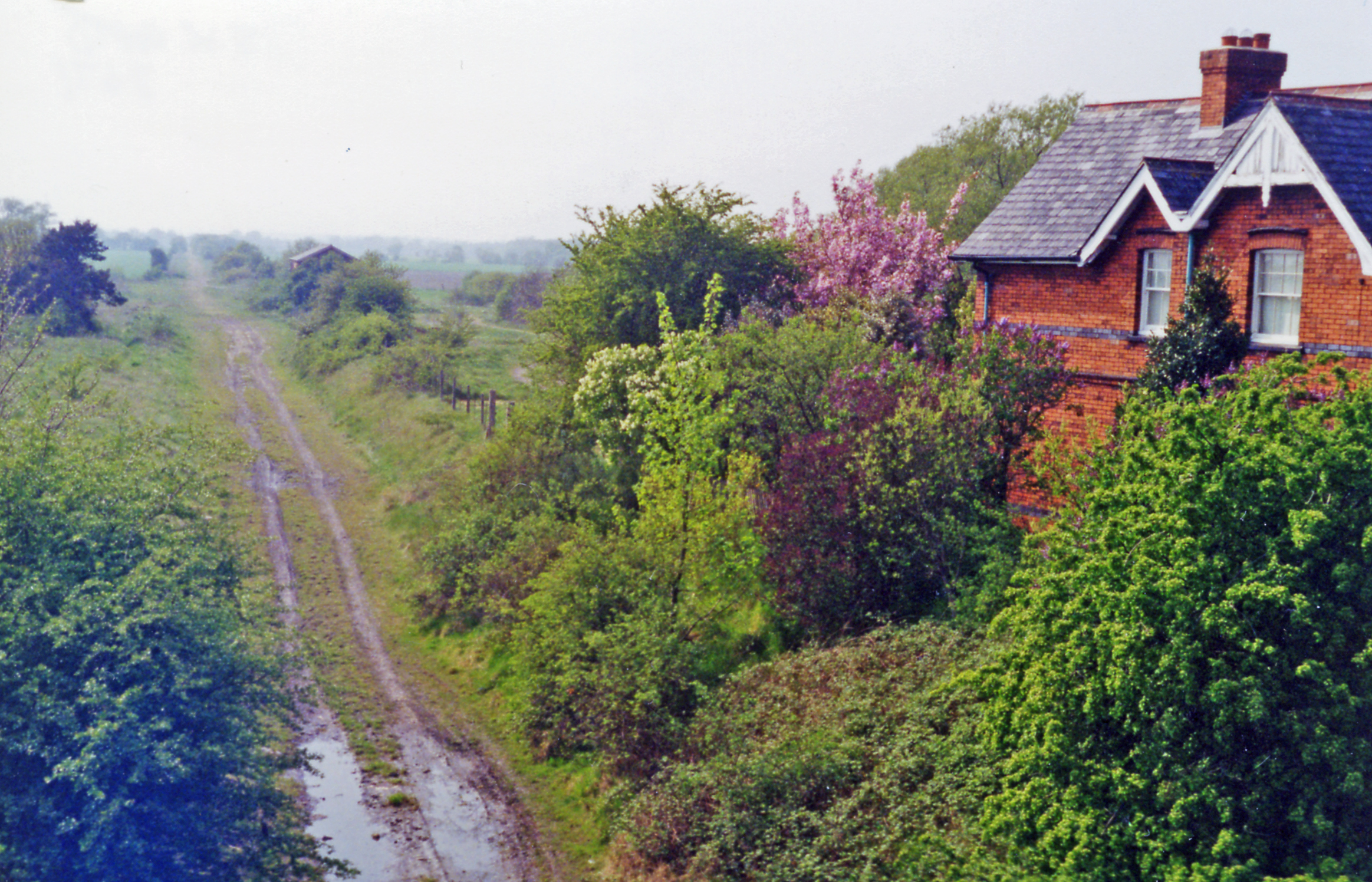
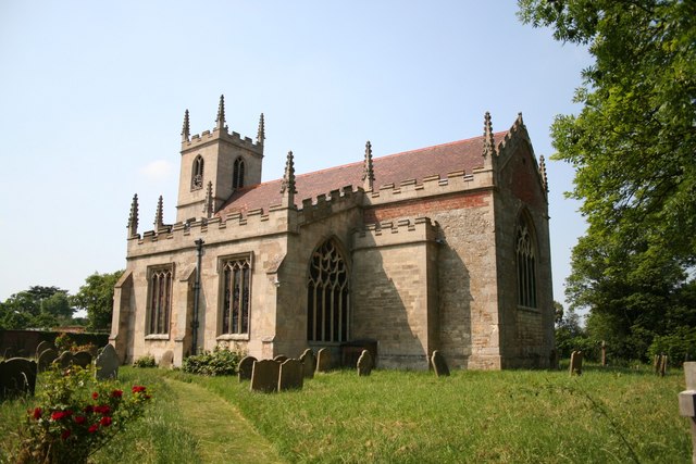
Doddington and Harby railway station
Doddington and Harby railway station is a former railway station on the Nottinghamshire border with Lincolnshire, England. == Context == The station was...
Wigsley
Wigsley is a village and civil parish in Nottinghamshire, England. The population of the civil parish taken at the 2011 census was 178. It is located...
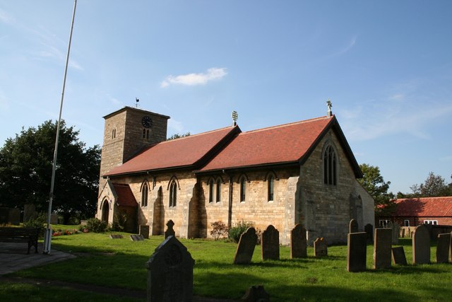
Eagle, Lincolnshire
Eagle is a village in the North Kesteven district of Lincolnshire, England. It is situated 7 miles (11 km) south-west from Lincoln and 2 miles (3.2 km...
Whisby
Whisby is a hamlet in the civil parish of Doddington and Whisby, in the North Kesteven district of Lincolnshire, England. It is situated 5 miles (8.0 km...
Nearby Amenities
Located within 500m of 53.216099,-0.67788066Have you been to Fox Holt?
Leave your review of Fox Holt below (or comments, questions and feedback).