Ashmore Green

Settlement in Berkshire

England

Ashmore Green

Track and farmland, Shaw Oil-seed rape, oaks and a cereal crop beside the byway connecting Long Lane and the western end of Curridge.
Track and farmland, Shaw Credit: Andrew Smith

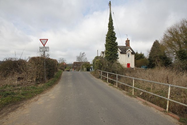
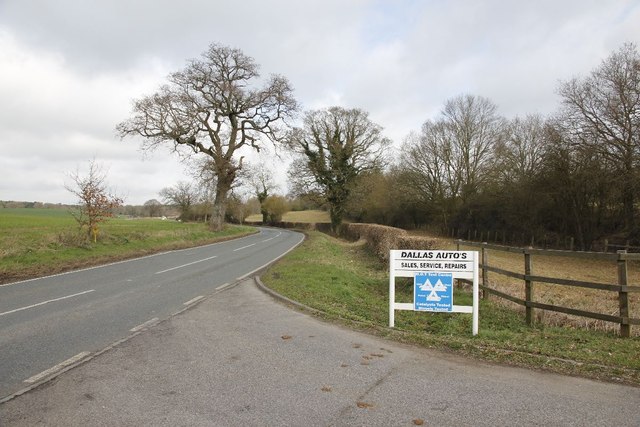
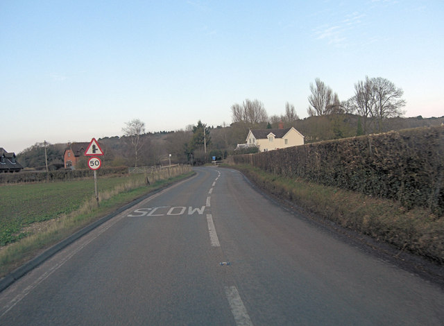
Ashmore Green is a small village located in the county of Berkshire, England. Situated in the civil parish of Cold Ash, it is nestled amidst picturesque countryside and offers a tranquil and idyllic setting. The village lies approximately 5 miles north-west of the town of Newbury and is easily accessible via the A4 road.

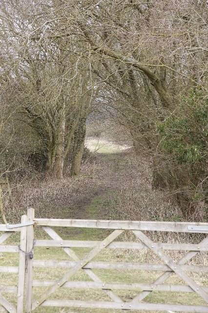
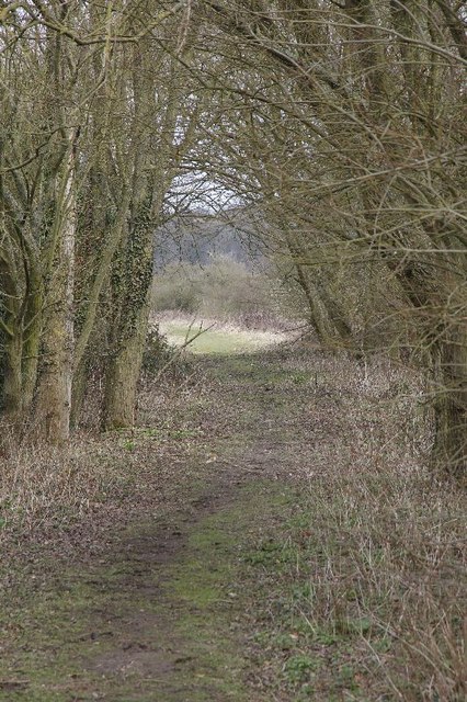
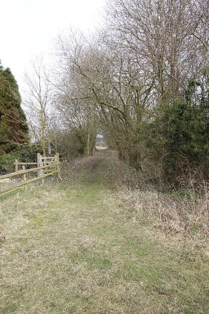
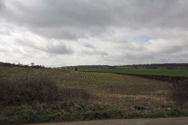
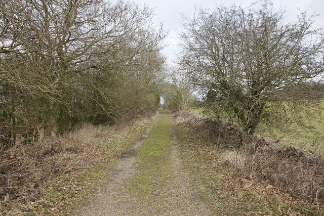
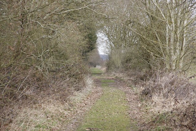
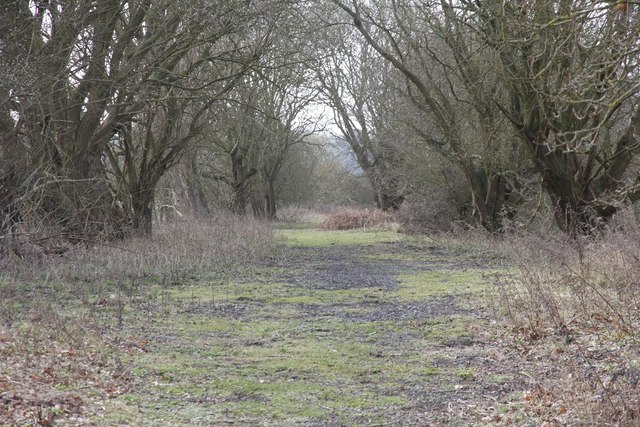
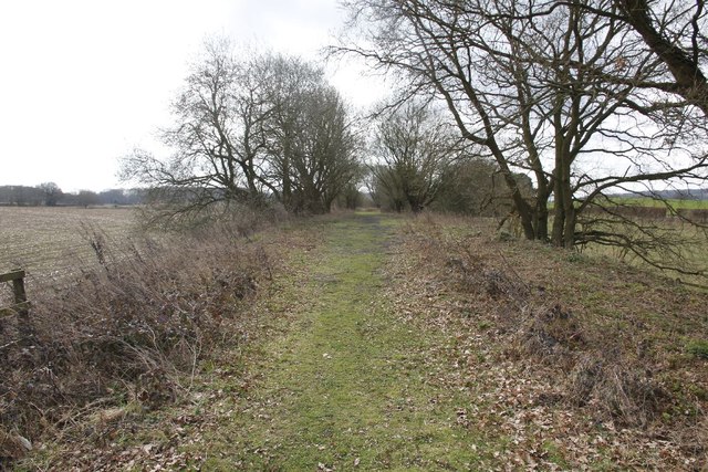
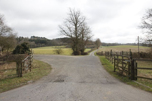
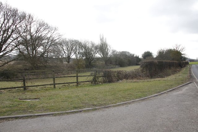
Ashmore Green is known for its charming rural character, with a mix of traditional and modern houses scattered throughout the area. The village is surrounded by lush green fields and farmland, providing stunning views and a peaceful atmosphere. It boasts a close-knit community, with a friendly and welcoming ambiance.

The village does not have many amenities itself, but residents have access to nearby facilities in Cold Ash and Newbury. Cold Ash offers a range of services including a primary school, village hall, post office, and a local shop. Newbury, a short drive away, provides a wider range of amenities including supermarkets, restaurants, leisure centers, and a train station.

For outdoor enthusiasts, Ashmore Green offers plenty of opportunities for walking, cycling, and exploring the beautiful countryside. The area is also home to a number of historical landmarks and attractions, such as the ruins of Donnington Castle and the stunning Highclere Castle.

Overall, Ashmore Green is a peaceful and picturesque village, ideal for those seeking a rural lifestyle while still having access to nearby amenities and attractions.

If you have any feedback on the listing, please let us know in the comments section below.

Ashmore Green Images

Images are sourced within 2km of 51.422217/-1.275112 or Grid Reference SU5069. Thanks to Geograph Open Source API. All images are credited.

Track and farmland, Shaw Oil-seed rape, oaks and a cereal crop beside the byway connecting Long Lane and the western end of Curridge.
Track and farmland, Shaw
Oil-seed rape, oaks and a cereal crop beside the byway connecting Long Lane and the western end of Curridge.
Passing by the road View up towards where the old Didcot,Newbury and Southampton went near Craven Farm
Passing by the road
View up towards where the old Didcot,Newbury and Southampton went near Craven Farm
Along the line View along the old Didcot, Newbury and Southampton Railway near Craven Farm. The railway has almost been erased in farmland just past the trees to the left.
Along the line
View along the old Didcot, Newbury and Southampton Railway near Craven Farm. The railway has almost been erased in farmland just past the trees to the left.
Hedge by the road Here you can see that the old Didcot to Newbury railway (on the right) ran not far from the B4009.
Hedge by the road
Here you can see that the old Didcot to Newbury railway (on the right) ran not far from the B4009.
Gate at Fishers Lane This is where the Didcot Newbury and Southampton railway used to run at Fishers Lane crossing towards Hermitage, the land is now privately owned.
Gate at Fishers Lane
This is where the Didcot Newbury and Southampton railway used to run at Fishers Lane crossing towards Hermitage, the land is now privately owned.
Further down the track A zoomed shot of further along the track bed from the Didcot, Newbury and Southampton railway at Fishers Crossing.
Further down the track
A zoomed shot of further along the track bed from the Didcot, Newbury and Southampton railway at Fishers Crossing.
Gate in the fence The fence of a property bordering the old Didcot, Newbury and Southampton railway. The property was part of the gatekeeper's cottage.
Gate in the fence
The fence of a property bordering the old Didcot, Newbury and Southampton railway. The property was part of the gatekeeper's cottage.
Railway towards Newbury The view from Fishers lane crossing in the Newbury direction, looking here you would not realise the Didcot, Newbury and Southampton railway was here.
Railway towards Newbury
The view from Fishers lane crossing in the Newbury direction, looking here you would not realise the Didcot, Newbury and Southampton railway was here.
Towards the crossing View towards Fishers lane crossing, part of the old Didcot,Newbury and Southampton railway. The crossing is about where the rise is and to the right would have been the crossing signal box. The building in the distance was the crossing operatives house.
Towards the crossing
View towards Fishers lane crossing, part of the old Didcot,Newbury and Southampton railway. The crossing is about where the rise is and to the right would have been the crossing signal box. The building in the distance was the crossing operatives house.
In the hedge Had a quick look round for any signs of the railway and came across a piece of line, no doubt used in the fencing beside the crossing.
In the hedge
Had a quick look round for any signs of the railway and came across a piece of line, no doubt used in the fencing beside the crossing.
Line near Cold Ash Farm This is the remains of the line near Cold Ash Farm.
Line near Cold Ash Farm
This is the remains of the line near Cold Ash Farm.
Track at Cold Ash Farm Zooming in with the camera shows the track bed is still there and clear.
Track at Cold Ash Farm
Zooming in with the camera shows the track bed is still there and clear.
Towards Fishers lane Zoomed in view of the line looking towards Fishers Lane crossing from near Cold Ash farm
Towards Fishers lane
Zoomed in view of the line looking towards Fishers Lane crossing from near Cold Ash farm
Line towards Fishers lane Viewiof the trackbed looking towards Fishers Lane crossing from near Cold Ash Farm.
Line towards Fishers lane
Viewiof the trackbed looking towards Fishers Lane crossing from near Cold Ash Farm.
Cold Ash Farm Crossing Think this world have been a farm crossing for Cold Ash Farm along the former Didcot, Newbury and Southampton Railway.
Cold Ash Farm Crossing
Think this world have been a farm crossing for Cold Ash Farm along the former Didcot, Newbury and Southampton Railway.
Dallas Autos The sign stands at the entrance to Cold Ash Farm as we look towards Hermitage along the B4009.
Dallas Autos
The sign stands at the entrance to Cold Ash Farm as we look towards Hermitage along the B4009.
From the entrance View of the former Didcot, Newbury and Southampton railway as it heads off on the left towards Fishers Lane crossing. The B4009 can just be seen on the right.
From the entrance
View of the former Didcot, Newbury and Southampton railway as it heads off on the left towards Fishers Lane crossing. The B4009 can just be seen on the right.
B4009 junction with Fisher's Lane
Show me another place!

Ashmore Green is located at Grid Ref: SU5069 (Lat: 51.422217, Lng: -1.275112)

Unitary Authority: West Berkshire

Police Authority: Thames Valley

What 3 Words

///flow.stumps.commuted. Near Cold Ash, Berkshire

Nearby Locations

Ashmore Green Cold Ash

Related Wikis

Ashmore Green

Ashmore Green is a small hamlet in Berkshire, England. It is situated just to the west of the village of Cold Ash and to the north of Thatcham in the West...

Cold Ash

Cold Ash is a village and civil parish in West Berkshire centred 1 mile (1.6 km) from Thatcham and 2.5 miles (4 km) northeast of Newbury. == Geography... ==
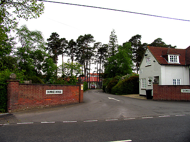
Downe House School

Downe House School is a selective independent girls' boarding and day school in Cold Ash, a village near Newbury, Berkshire, for girls aged 11–18.The Good...

Order of Silence

The Order of Silence (also known as The White Ladies) was a small Christian community based in Cold Ash, Berkshire between 1912 and 1921.Members of the...

Cold Ash Quarry

Cold Ash Quarry is a 0.4-hectare (0.99-acre) geological Site of Special Scientific Interest north of Newbury in Berkshire. It is a Geological Conservation...

Thatcham

Thatcham is a market town and civil parish in the West Berkshire unitary area of the county of Berkshire, England. It is 3 miles (4.8 km) east of Newbury...

West Berkshire Community Hospital

West Berkshire Community Hospital is a small hospital located in the Benham Hill area of Newbury, in West Berkshire, England. It is managed by Berkshire...

Benham Hill

Benham Hill is a hill and small settlement in the Shaw portion of the civil parish of Shaw-cum-Donnington in the English county of Berkshire, between...

Nearby Amenities

Located within 500m of 51.422217,-1.275112
Ashmore Green
Place: hamlet
Wikidata: Q4805691
Lat/Long: 51.4225154/-1.2739273
Location Transition: yes
Power: pole
Lat/Long: 51.4186573/-1.27342
Power: pole
Lat/Long: 51.4188635/-1.2720088
Power: pole
Lat/Long: 51.4186675/-1.2710209
Power: pole
Lat/Long: 51.4234636/-1.2787834
Power: pole
Transformer: distribution
Lat/Long: 51.4228732/-1.2782684
Power: pole
Lat/Long: 51.4239637/-1.2755165
Power: pole
Lat/Long: 51.4239168/-1.2779573
Power: pole
Lat/Long: 51.4239018/-1.2791508
Power: pole
Lat/Long: 51.4238817/-1.2803847
Power: pole
Lat/Long: 51.4230538/-1.280441
Power: pole
Lat/Long: 51.4217141/-1.2805858
Power: pole
Lat/Long: 51.4209096/-1.2806609
Power: pole
Lat/Long: 51.4200783/-1.2807709
Location Transition: yes
Power: tower
Lat/Long: 51.418685/-1.2772653
Power: tower
Lat/Long: 51.4188857/-1.2781209
Power: tower
Lat/Long: 51.4196952/-1.2796792
Power: tower
Lat/Long: 51.4203392/-1.2808299
The data included in this document is from www.openstreetmap.org. The data is made available under ODbL.

Have you been to Ashmore Green?

Leave your review of Ashmore Green below (or comments, questions and feedback).