Lower Hanger Wood

Wood, Forest in Surrey Waverley

England

Lower Hanger Wood

New build in Haslemere (I) Wey Hill
New build in Haslemere (I) Credit: Basher Eyre

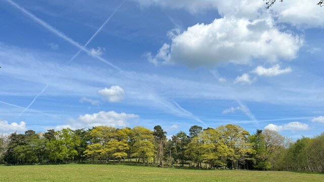
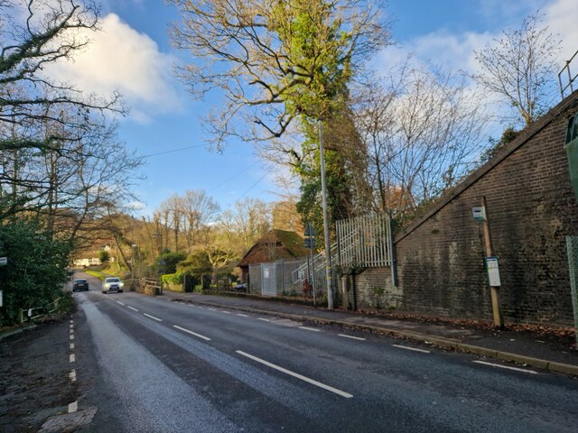
Lower Hanger Wood, located in Surrey, England, is a picturesque woodland area known for its natural beauty and diverse flora and fauna. Covering an area of approximately 200 acres, it forms part of the larger Surrey Hills Area of Outstanding Natural Beauty. The wood is situated on the lower slopes of the North Downs, offering stunning views of the surrounding countryside.

Lower Hanger Wood is characterized by its dense, mature woodland, consisting primarily of oak and beech trees. These towering trees provide a habitat for a wide variety of wildlife, including deer, foxes, badgers, and a diverse range of bird species. The wood also features a network of well-maintained footpaths and trails, allowing visitors to explore the area and enjoy its natural wonders.

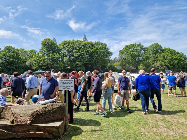
Visitors to Lower Hanger Wood can expect to experience a tranquil and peaceful environment, away from the hustle and bustle of urban life. The wood offers an ideal setting for walking, picnicking, and nature watching. During the spring months, the woodland floor comes alive with a vibrant display of wildflowers, creating a truly enchanting scene.

As part of the Surrey Hills Area of Outstanding Natural Beauty, Lower Hanger Wood is managed and protected by the local authorities to preserve its natural integrity. The wood is open to the public year-round, providing an opportunity for visitors to connect with nature and appreciate the unique beauty of this Surrey woodland.

If you have any feedback on the listing, please let us know in the comments section below.

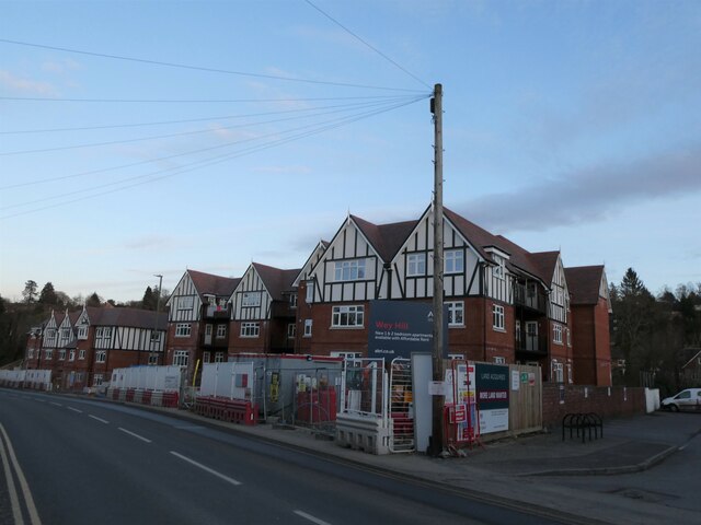
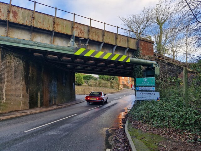
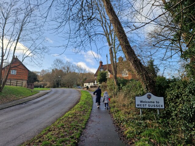
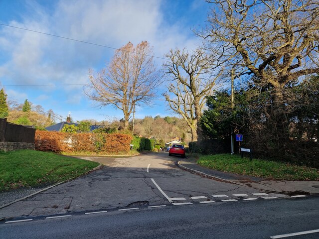
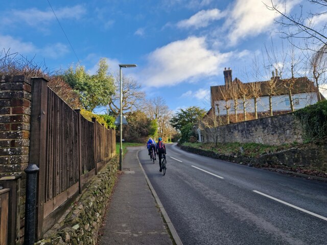
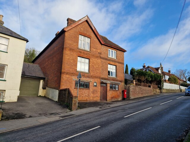
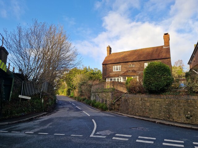
Lower Hanger Wood Images

Images are sourced within 2km of 51.088491/-0.75130822 or Grid Reference SU8732. Thanks to Geograph Open Source API. All images are credited.

New build in Haslemere (I) Wey Hill
New build in Haslemere (I)
Wey Hill
Line of trees east of Linchmere village I noticed that Linchmere was spelt "Lynchmere" on the road sign to the south of the village. It's "Linchmere" on all the maps.
Line of trees east of Linchmere village
I noticed that Linchmere was spelt "Lynchmere" on the road sign to the south of the village. It's "Linchmere" on all the maps.
Bordering on the ridiculous (2) Coming from West Sussex into Surrey, with the junction to Crichmere lane on the left
Bordering on the ridiculous (2)
Coming from West Sussex into Surrey, with the junction to Crichmere lane on the left
Bordering on the ridiculous (3) Coming from Surrey into West Sussex, just past The Mill pub
Bordering on the ridiculous (3)
Coming from Surrey into West Sussex, just past The Mill pub
Looking from Liphook Road into Eliot Drive
Cyclist in Liphook Road
Postbox in Liphook Road This was formerly Harding Stores and sub-postoffice
Postbox in Liphook Road
This was formerly Harding Stores and sub-postoffice
Looking from Liphook Road into Critchmere Lane
Bus stops by the railway bridge in Liphook Road
Haslemere Classic Car Rally Revisited (1)
Haslemere Classic Car Rally Revisited (2)
Haslemere Classic Car Rally Revisited (3)
Haslemere Classic Car Rally Revisited (4)
Haslemere Classic Car Rally Revisited (5)
Haslemere Classic Car Rally Revisited (6)
Haslemere Classic Car Rally Revisited (7)
Hillside, Camelsdale
The Old Quarry, Marley Combe
Show me another place!

Lower Hanger Wood is located at Grid Ref: SU8732 (Lat: 51.088491, Lng: -0.75130822)

Administrative County: Surrey

District: Waverley

Police Authority: Surrey

What 3 Words

///raft.petted.spinners. Near Hindhead, Surrey

Related Wikis

Woolmer Hill

Woolmer Hill is an area of high ground in the south-west corner of Surrey, England in the Borough of Waverley abutting Hampshire to the west and West Sussex...

Hammer Bottom

Hammer Bottom or Hammer Vale is a hamlet in the civil parish of Bramshott and Liphook, in the East Hampshire district in the county of Hampshire, England...

Woolmer Hill School

Woolmer Hill School, formerly Woolmer Hill Technology College, is the main secondary school in the area of Haslemere, Surrey. == Funding == A non-fee paying...

Shottermill & Haslemere F.C.

Shottermill & Haslemere Football Club is a football club based in Haslemere, Surrey, England. The club are currently members of the Surrey Intermediate...

Amesbury School

Amesbury School is a co-educational independent prep school in the Hindhead/Haslemere area of Surrey, England, educating pupils between the ages of 9 months...

Bramshott Common

Bramshott Common is part of a large expanse of heathland, including Ludshott Common, near Bramshott, Hampshire, England.It was the site of Bramshott Camps...

Bramshott Camp

Bramshott Military Camp, often simplified to Camp Bramshott, was a temporary army camp set up on Bramshott Common, Hampshire, England during both the First...

Linchmere

Linchmere, also spelled Lynchmere, is a village and a civil parish, the northernmost parish in the Chichester district of West Sussex, England. It is...

Nearby Amenities

Located within 500m of 51.088491,-0.75130822
Bridge Support: pier
Description: 3 Counties Bridge, the intersection of Surrey, Hampshire and West Sussex
Lat/Long: 51.0866534/-0.7536028
Hammer
Place: village
Wikidata: Q5645596
Wikipedia: en:Hammer, West Sussex
Lat/Long: 51.0844495/-0.7495874
Woolmer Hill
Place: village
Wikidata: Q9377810
Wikipedia: en:Woolmer Hill
Lat/Long: 51.0895053/-0.751326
Post Box
Collection Plate: CP5D
Collection Times: Mo-Fr 09:00; Sa 07:00
Drive Through: no
Last Checked: 2020-03-06
Operator: Royal Mail
Post Box Type: wall
Ref: GU27 29D
Royal Cypher: VR
Royal Cypher Wikidata: Q33102356
Wikimedia Commons: File:Post_Box_GU27_29D_Hammer_Vale,_Hampshire.jpg
Lat/Long: 51.0867956/-0.7576195
Hatchetts Drive
Naptan AtcoCode: 40004411118A
Naptan Bearing: SW
Naptan BusStopType: CUS
Naptan CommonName: Hatchetts Drive
Naptan Indicator: SW-bound
Naptan Landmark: Woolmer Hill Estate
Naptan NaptanCode: surgjdjg
Naptan Street: Hatchetts Drive
Naptan Verified: no
Source: naptan_import
Lat/Long: 51.0906923/-0.7498936
Bus Stop
Hatchetts Drive
Bus: yes
Naptan AtcoCode: 40004411118B
Naptan Bearing: NE
Naptan CommonName: Hatchetts Drive
Naptan Indicator: NE-bound
Naptan Landmark: Woolmer Hill Estate
Naptan NaptanCode: surdtmwa
Naptan Street: Hatchetts Drive
Naptan Verified: no
Public Transport: platform
Source: naptan_import
Lat/Long: 51.0907382/-0.749978
Bus Stop
Lower Hanger
Bus: yes
Naptan AtcoCode: 40004411954A
Naptan Bearing: W
Naptan CommonName: Lower Hanger
Naptan Indicator: W-bound
Naptan Landmark: Lower Hanger
Naptan NaptanCode: surgmtag
Naptan Street: Lower Hanger Road
Naptan Verified: no
Public Transport: platform
Source: naptan_import
Lat/Long: 51.0889208/-0.750741
Bus Stop
Lower Hanger
Bus: yes
Naptan AtcoCode: 40004411954B
Naptan Bearing: E
Naptan CommonName: Lower Hanger
Naptan Indicator: E-bound
Naptan Landmark: Lower Hanger
Naptan NaptanCode: surgmtaj
Naptan Street: Lower Hanger Road
Naptan Verified: no
Public Transport: platform
Source: naptan_import
Lat/Long: 51.0890721/-0.7505941
Bus Stop
Woolmer Hill School
Bus: yes
Naptan AtcoCode: 40004411955A
Naptan Bearing: N
Naptan CommonName: Woolmer Hill School
Naptan Indicator: Opp
Naptan Landmark: Woolmer Hill School
Naptan NaptanCode: surgmtam
Naptan Street: Woolmer Hill Road
Naptan Verified: no
Public Transport: platform
Source: naptan_import
Lat/Long: 51.092748/-0.7495525
Bus Stop
Bus: yes
Public Transport: platform
Lat/Long: 51.0867788/-0.7578555
Post Box
Collection Plate: CP5
Collection Times: Mo-Fr 16:30; Sa 12:00
Operator: Royal Mail
Post Box Type: wall
Ref: GU27 129
Royal Cypher: EVIIR
Royal Cypher Wikidata: Q33102324
Wikimedia Commons: File:Post_Box_GU27_129,_Hammer_Lane,_Linchmere,_Haslemere,_West_Sussex.jpg
Lat/Long: 51.0852671/-0.7528223
Post Box
Collection Plate: CP7D
Collection Times: Mo-Fr 09:00; Sa 07:00
Drive Through: no
Last Checked: 2020-09-06
Operator: Royal Mail
Post Box Type: lamp
Ref: GU27 4D
Royal Cypher: EIIR
Royal Cypher Wikidata: Q33102113
Lat/Long: 51.0868542/-0.7465454
School: entrance
Lat/Long: 51.0927865/-0.7493671
Post Box
Collection Plate: CP7
Collection Times: Mo-Fr 16:30; Sa 12:00
Drive Through: no
Last Checked: 2020-09-06
Operator: Royal Mail
Post Box Type: wall
Ref: GU27 102
Royal Cypher: EIIR
Royal Cypher Wikidata: Q33102113
Wikimedia Commons: File:Post_Box_GU27_102,_Woolmer_Hill_Road,_Haslemere,_Surrey.jpg
Lat/Long: 51.0909181/-0.7490543
Waste Basket
Lat/Long: 51.0889072/-0.7466327
The data included in this document is from www.openstreetmap.org. The data is made available under ODbL.

Have you been to Lower Hanger Wood?

Leave your review of Lower Hanger Wood below (or comments, questions and feedback).