Annises Plantation

Wood, Forest in Leicestershire Melton

England

Annises Plantation

Prepared field near Sproxton Lodge
Prepared field near Sproxton Lodge Credit: Jonathan Thacker

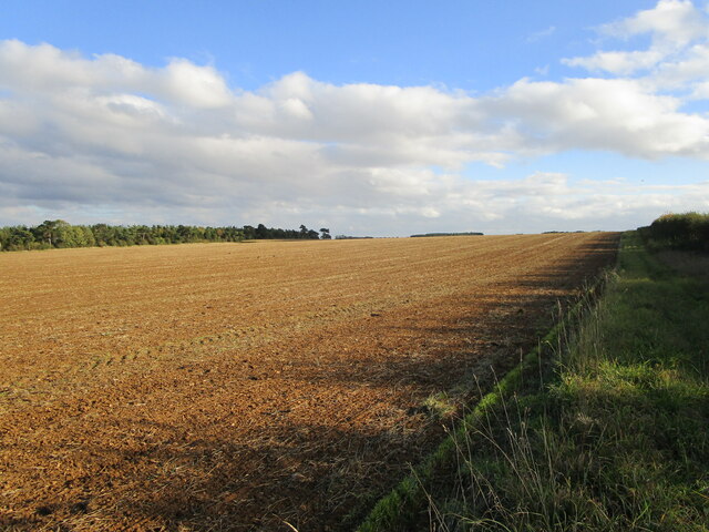
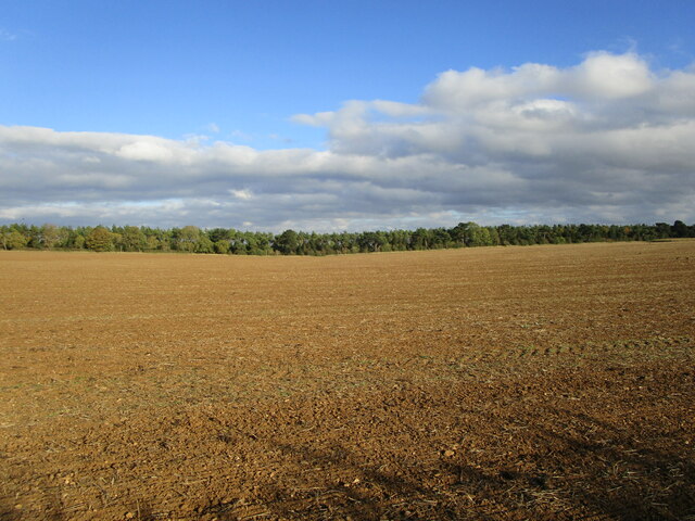
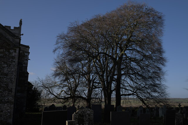
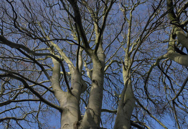
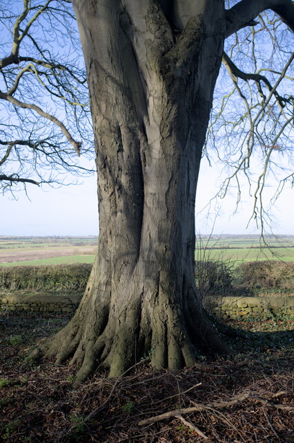
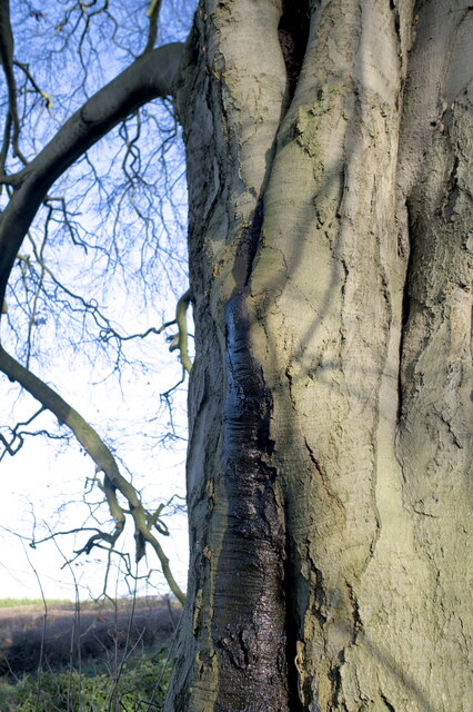
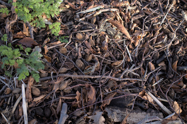
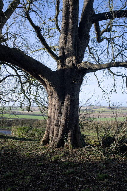
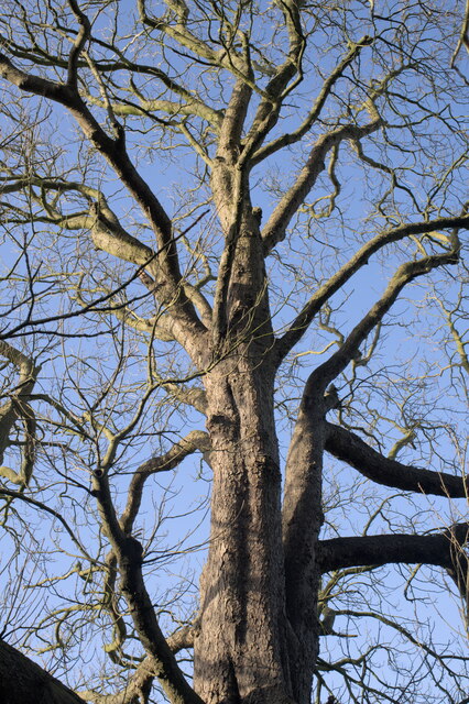
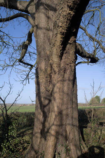
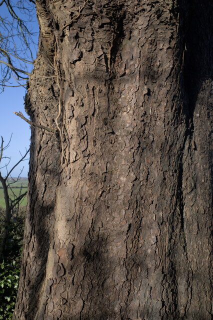
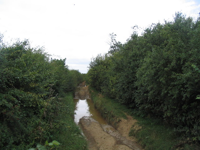
Annises Plantation is a picturesque woodland located in Leicestershire, England. Situated in a rural area, the plantation covers a total area of approximately 50 acres. It is known for its diverse range of trees, including oak, birch, beech, and ash, which create a beautiful and tranquil environment for visitors to enjoy.

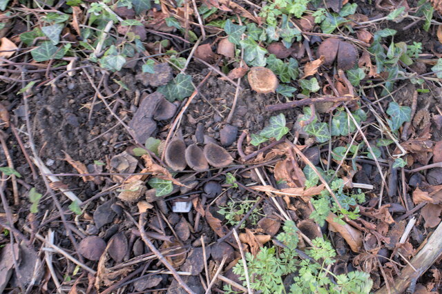
The woodland is home to a rich variety of wildlife, making it a popular spot for nature enthusiasts and birdwatchers. Visitors may catch a glimpse of woodland birds such as robins, blackbirds, and blue tits, as well as larger animals like squirrels and deer.

Annises Plantation offers several walking trails that wind through the woodland, providing visitors with an opportunity to explore the area and appreciate its natural beauty. The trails are well-maintained and suitable for all ages and fitness levels.

The plantation also features a picnic area, allowing visitors to relax and enjoy a meal surrounded by nature. Additionally, there are several benches strategically placed throughout the woodland, providing peaceful spots for contemplation or simply taking in the scenery.

Annises Plantation is open to the public throughout the year, with no admission fee. It is a popular destination for families, couples, and individuals seeking a peaceful escape from the hustle and bustle of city life. Whether it's a leisurely stroll, birdwatching, or a picnic in nature, Annises Plantation offers a serene and refreshing experience for all who visit.

If you have any feedback on the listing, please let us know in the comments section below.

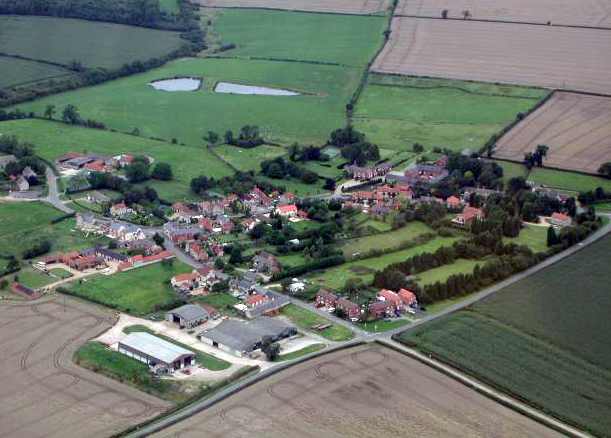
Annises Plantation Images

Images are sourced within 2km of 52.822905/-0.70906437 or Grid Reference SK8725. Thanks to Geograph Open Source API. All images are credited.

Prepared field near Sproxton Lodge
Prepared field and narrow strip of woodland
St Bartholomew's Church A grade II* church on a hilltop, outside the village it serves.  A sure sign of an ancient site co-opted by the early church.  See <span class="nowrap"><a title="https://historicengland.org.uk/listing/the-list/list-entry/1294595" rel="nofollow ugc noopener" href="https://historicengland.org.uk/listing/the-list/list-entry/1294595">Link</a><img style="margin-left:2px;" alt="External link" title="External link - shift click to open in new window" src="https://s1.geograph.org.uk/img/external.png" width="10" height="10"/></span>
St Bartholomew's Church
A grade II* church on a hilltop, outside the village it serves. A sure sign of an ancient site co-opted by the early church. See LinkExternal link
Ancient cross in St Bartholomew's churchyard. Dating from the 11th century this cross and its location are a scheduled ancient monument; see <span class="nowrap"><a title="https://historicengland.org.uk/listing/the-list/list-entry/1014512" rel="nofollow ugc noopener" href="https://historicengland.org.uk/listing/the-list/list-entry/1014512">Link</a><img style="margin-left:2px;" alt="External link" title="External link - shift click to open in new window" src="https://s1.geograph.org.uk/img/external.png" width="10" height="10"/></span> .

See also <a href="https://www.geograph.org.uk/photo/7060232">SK8524 : Carving on the cross</a> and <a href="https://www.geograph.org.uk/photo/7060234">SK8524 : The base of the cross</a>.
Ancient cross in St Bartholomew's churchyard.
Dating from the 11th century this cross and its location are a scheduled ancient monument; see LinkExternal link . See also SK8524 : Carving on the cross and SK8524 : The base of the cross.
Churchyard trees Four enormous trees in the churchyard of St Bartholomew's Church.  They are all Beech, although they appear to be at least two different varieties.
Churchyard trees
Four enormous trees in the churchyard of St Bartholomew's Church. They are all Beech, although they appear to be at least two different varieties.
Always look up The crown of one of the Beech trees in <a href="https://www.geograph.org.uk/photo/7059758">SK8524 : Churchyard trees</a>.
Always look up
The crown of one of the Beech trees in SK8524 : Churchyard trees.
Trunk of the Beech Tree This is the trunk of the tallest of the 4 trees in <a href="https://www.geograph.org.uk/photo/7059758">SK8524 : Churchyard trees</a>, the one seen in <a href="https://www.geograph.org.uk/photo/7059956">SK8524 : Always look up</a>
Trunk of the Beech Tree
This is the trunk of the tallest of the 4 trees in SK8524 : Churchyard trees, the one seen in SK8524 : Always look up
Bleeding Beech Something odd is going on with this ancient tree (see also <a href="https://www.geograph.org.uk/photo/7059963">SK8524 : Trunk of the Beech Tree</a>).  This dark stain on one side.  There are bleeding cankers (Phytophthora kernoviae) in Beech trees, but they do not look like this.  I hope it is not doomed.
Bleeding Beech
Something odd is going on with this ancient tree (see also SK8524 : Trunk of the Beech Tree). This dark stain on one side. There are bleeding cankers (Phytophthora kernoviae) in Beech trees, but they do not look like this. I hope it is not doomed.
Tree litter Last year's leaves and beech mast beneath the tree seen in <a href="https://www.geograph.org.uk/photo/7059956">SK8524 : Always look up</a> and <a href="https://www.geograph.org.uk/photo/7059963">SK8524 : Trunk of the Beech Tree</a>.
Tree litter
Last year's leaves and beech mast beneath the tree seen in SK8524 : Always look up and SK8524 : Trunk of the Beech Tree.
Another Churchyard Beech Nearest the gate is this tree, whose rough bark is quite unlike the smooth bark of the tree in <a href="https://www.geograph.org.uk/photo/7059963">SK8524 : Trunk of the Beech Tree</a>.  But it does appear to be another Beech, doubly confirmed by the mast scattered below it.  Curiously that Mast appears to be larger and more rounded in the shell.
Another Churchyard Beech
Nearest the gate is this tree, whose rough bark is quite unlike the smooth bark of the tree in SK8524 : Trunk of the Beech Tree. But it does appear to be another Beech, doubly confirmed by the mast scattered below it. Curiously that Mast appears to be larger and more rounded in the shell.
Looking up Looking up in the rough-barked Beech seen in <a href="https://www.geograph.org.uk/photo/7059992">SK8524 : Another Churchyard Beech</a>.
Looking up
Looking up in the rough-barked Beech seen in SK8524 : Another Churchyard Beech.
Fagus sylvatica Fagus sylvatica, the Common Beech.  The trunk of the tree in <a href="https://www.geograph.org.uk/photo/7059992">SK8524 : Another Churchyard Beech</a>.
Fagus sylvatica
Fagus sylvatica, the Common Beech. The trunk of the tree in SK8524 : Another Churchyard Beech.
Common Beech, Fagus sylvatica The bark of the tree in <a href="https://www.geograph.org.uk/photo/7059992">SK8524 : Another Churchyard Beech</a>.
Common Beech, Fagus sylvatica
The bark of the tree in SK8524 : Another Churchyard Beech.
Beech Mast Shells of beech mast, and leaf litter, beneath the tree in <a href="https://www.geograph.org.uk/photo/7059992">SK8524 : Another Churchyard Beech</a>.
Beech Mast
Shells of beech mast, and leaf litter, beneath the tree in SK8524 : Another Churchyard Beech.
Carving on the cross Carving on the north side of the cross seen in <a href="https://www.geograph.org.uk/photo/7059754">SK8524 : Ancient cross in St Bartholomew's churchyard.</a>.
Carving on the cross
Carving on the north side of the cross seen in SK8524 : Ancient cross in St Bartholomew's churchyard..
The base of the cross Worn carving on the base of <a href="https://www.geograph.org.uk/photo/7059754">SK8524 : Ancient cross in St Bartholomew's churchyard.</a> on the western side, below the head
The base of the cross
Worn carving on the base of SK8524 : Ancient cross in St Bartholomew's churchyard. on the western side, below the head
Benchmark on #14 School Hill Ordnance Survey cut mark benchmark levelled at 131.774m above Newlyn Datum verified 1970
Benchmark on #14 School Hill
Ordnance Survey cut mark benchmark levelled at 131.774m above Newlyn Datum verified 1970
Nos. 14 and 12 School Hill There is an Ordnance Survey benchmark <a href="https://www.geograph.org.uk/photo/7535668">SK8524 : Benchmark on #14 School Hill</a>  on a quoin of the left hand house on the left hand side of steps to the house door
Nos. 14 and 12 School Hill
There is an Ordnance Survey benchmark SK8524 : Benchmark on #14 School Hill on a quoin of the left hand house on the left hand side of steps to the house door
Show me another place!

Annises Plantation is located at Grid Ref: SK8725 (Lat: 52.822905, Lng: -0.70906437)

Administrative County: Leicestershire

District: Melton

Police Authority: Leicestershire

What 3 Words

///hazy.cards.range. Near Colsterworth, Lincolnshire

Nearby Locations

Annises Plantation

Related Wikis

Buckminster Gliding Club

The Buckminster Gliding Club (BGC) is a gliding club based at Saltby Airfield on the Leicestershire / Lincolnshire border, England. It is affiliated with...

RAF Saltby

Royal Air Force Saltby or more simply RAF Saltby is a former Royal Air Force station located near Saltby, Leicestershire, England The following units were...

Sproxton Quarry

Sproxton Quarry is a 5.4 hectares (13 acres) geological Site of Special Scientific Interest north-east of Sproxton in Leicestershire. It is a Geological...

Saltby

Saltby is a village and former civil parish, now in the parish of Sproxton, in the Melton borough of Leicestershire, England. It lies close to the River...

Sproxton, Leicestershire

Sproxton () is a village and civil parish within the Borough of Melton in Leicestershire, England, close to the border with Lincolnshire. It has approximately...

King Lud's Entrenchments and The Drift

King Lud's Entrenchments and The Drift is a 23.9 hectares (59 acres) biological Site of Special Scientific Interest which straddles the border between...

Skillington

Skillington is a village and civil parish in the South Kesteven district of Lincolnshire, England. The population of the civil parish at the 2021 census...

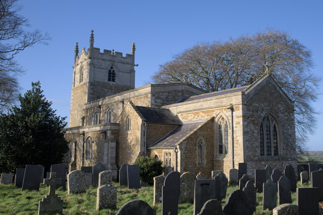
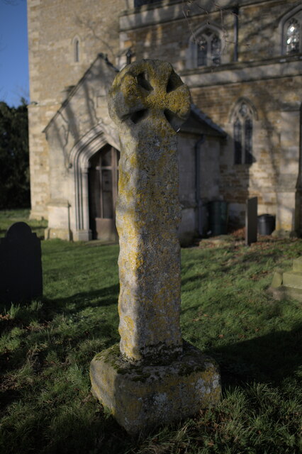
Church of St John the Baptist, Buckminster

The Church of St John the Baptist is a church in Buckminster, Leicestershire. It is a Grade I listed building. == History == The church consists of a nave...

Nearby Amenities

Located within 500m of 52.822905,-0.70906437
Place: farm
Lat/Long: 52.8257806/-0.7043211
The data included in this document is from www.openstreetmap.org. The data is made available under ODbL.

Have you been to Annises Plantation?

Leave your review of Annises Plantation below (or comments, questions and feedback).