Ash Copse

Wood, Forest in Sussex Chichester

England

Ash Copse

New Lipchis Way I've just realised where the "New Lipchis Way" gets its name. It's a 39-mile walk from Liphook (Lip) to Chichester Harbour (chis). There's an excellent view to the east from the bank on the left of the path.
New Lipchis Way Credit: Ian Cunliffe

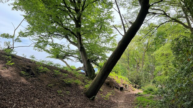
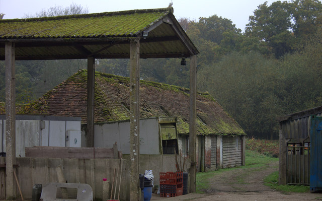
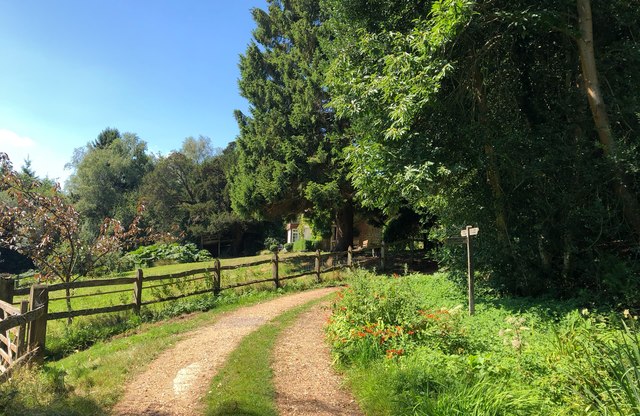
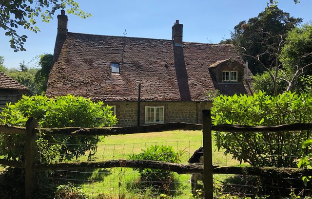
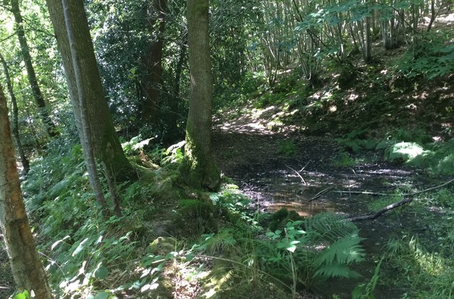
Ash Copse is a charming woodland located in Sussex, England. Spanning over 100 acres, it is known for its dense growth of ash trees, which lend the copse its name. The forest is situated in a picturesque area, surrounded by rolling hills and meadows, creating a tranquil and idyllic atmosphere.

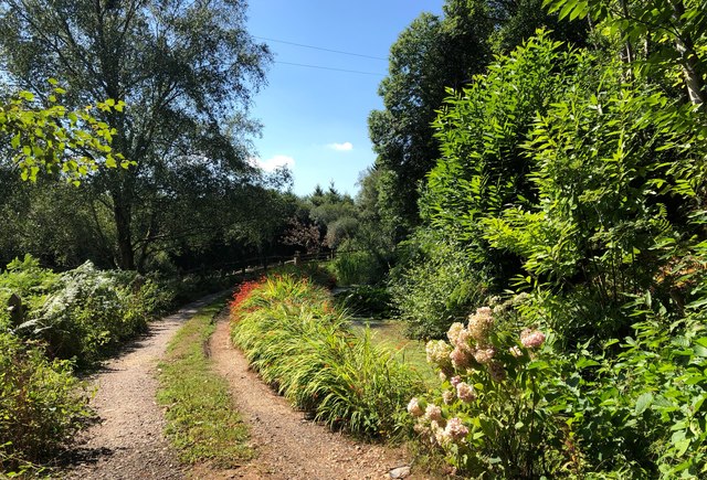
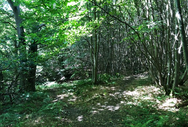
The copse boasts a diverse range of flora and fauna, making it a haven for nature enthusiasts. The ash trees dominate the landscape, their tall trunks reaching towards the sky, and their delicate leaves providing a beautiful canopy during the summer months. Beneath the trees, a lush undergrowth thrives, consisting of ferns, bluebells, and wildflowers, adding vibrant splashes of color to the woodland floor.

The forest is home to a variety of wildlife, including deer, foxes, and a plethora of bird species. The peaceful environment and abundance of natural resources make Ash Copse an ideal habitat for these creatures. Birdsong can often be heard echoing through the trees, providing a soothing soundtrack to visitors' walks.

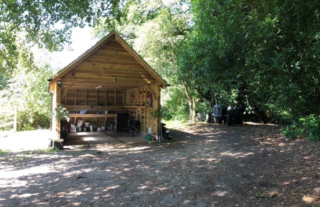
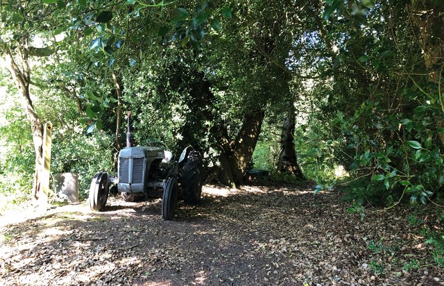
Ash Copse offers a range of walking trails, allowing visitors to explore the woodland at their own pace. These paths wind through the forest, providing glimpses of the surrounding countryside and offering opportunities for peaceful contemplation. The copse is also a popular spot for picnics and family outings, with designated picnic areas and open spaces for children to play.

Overall, Ash Copse is a stunning example of the natural beauty that Sussex has to offer. Its rich biodiversity, serene atmosphere, and scenic surroundings make it a must-visit destination for nature lovers and those seeking a peaceful retreat.

If you have any feedback on the listing, please let us know in the comments section below.

Ash Copse Images

Images are sourced within 2km of 51.068009/-0.76691668 or Grid Reference SU8630. Thanks to Geograph Open Source API. All images are credited.

New Lipchis Way I've just realised where the "New Lipchis Way" gets its name. It's a 39-mile walk from Liphook (Lip) to Chichester Harbour (chis). There's an excellent view to the east from the bank on the left of the path.
New Lipchis Way
I've just realised where the "New Lipchis Way" gets its name. It's a 39-mile walk from Liphook (Lip) to Chichester Harbour (chis). There's an excellent view to the east from the bank on the left of the path.
Pylon near the bridleway on the south side of Iron Hill
Trees and sunlight - NE of Hillands Plantations
Line of trees east of Linchmere village I noticed that Linchmere was spelt "Lynchmere" on the road sign to the south of the village. It's "Linchmere" on all the maps.
Line of trees east of Linchmere village
I noticed that Linchmere was spelt "Lynchmere" on the road sign to the south of the village. It's "Linchmere" on all the maps.
Linchmere House This house is almost opposite the church - on the east side of the lane through Linchmere.
Linchmere House
This house is almost opposite the church - on the east side of the lane through Linchmere.
Leaves and sunlight - Stanley Common
Conifers near Iron Hill
Chestnut Close The newer end of the Berg Estate built in the 1970s, low density housing in a former arboretum, within easy walking distance of the railway station.
Chestnut Close
The newer end of the Berg Estate built in the 1970s, low density housing in a former arboretum, within easy walking distance of the railway station.
Bordering on the ridiculous (1) Looking from Sussex into Hampshire by Churcher's College Junior School
Bordering on the ridiculous (1)
Looking from Sussex into Hampshire by Churcher's College Junior School
Farm buildings near Shulbrede priory Somewhat dilapidated
Farm buildings near Shulbrede priory
Somewhat dilapidated
Pleasant Corner An attractive part of the driveway near to Newlands Cottage. Everything looking very green despite months of little rainfall.
Pleasant Corner
An attractive part of the driveway near to Newlands Cottage. Everything looking very green despite months of little rainfall.
Path Junction near Newlands Cottage Approaching Newlands Cottage along the driveway, which is a public footpath, another path leads off to the left.
Path Junction near Newlands Cottage
Approaching Newlands Cottage along the driveway, which is a public footpath, another path leads off to the left.
Jag on the track A small track leads away from Newlands Cottage and an old Jaguar Car is parked up.
Jag on the track
A small track leads away from Newlands Cottage and an old Jaguar Car is parked up.
Newlands Cottage Newlands Cottage viewed from the public footpath.
Newlands Cottage
Newlands Cottage viewed from the public footpath.
Garage and Tractor Viewed from the public footpath which passes to the right of the tractor.
Garage and Tractor
Viewed from the public footpath which passes to the right of the tractor.
Tractor beside the Footpath The public footpath at Newlands Cottage passes an old tractor before heading into The Leithe.
Tractor beside the Footpath
The public footpath at Newlands Cottage passes an old tractor before heading into The Leithe.
The Leithe A fork in the track at the area of woodland known as The Leithe. The public footpath continues down the left hand fork.
The Leithe
A fork in the track at the area of woodland known as The Leithe. The public footpath continues down the left hand fork.
Sunken Path Passing through the area of woodland known as The Leithe the public footpath encounters a short muddy sunken section.
The only viable option to avoid this is to climb up the bank on the left and walk along a very narrow section of the bank, passing between the two trees ahead before regaining the footpath.
Sunken Path
Passing through the area of woodland known as The Leithe the public footpath encounters a short muddy sunken section. The only viable option to avoid this is to climb up the bank on the left and walk along a very narrow section of the bank, passing between the two trees ahead before regaining the footpath.
Show me another place!

Ash Copse is located at Grid Ref: SU8630 (Lat: 51.068009, Lng: -0.76691668)

Administrative County: West Sussex

District: Chichester

Police Authority: Sussex

What 3 Words

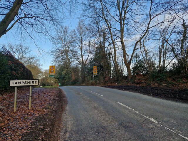
///quiet.undertook.torches. Near Liphook, Hampshire

Related Wikis

Lynchmere Commons

Lynchmere Commons is a 122-hectare (300-acre) Local Nature Reserve in Lynchmere in West Sussex. It is owned and managed by the Lynchmere Society.This...

Linchmere

Linchmere, also spelled Lynchmere, is a village and a civil parish, the northernmost parish in the Chichester district of West Sussex, England. It is...
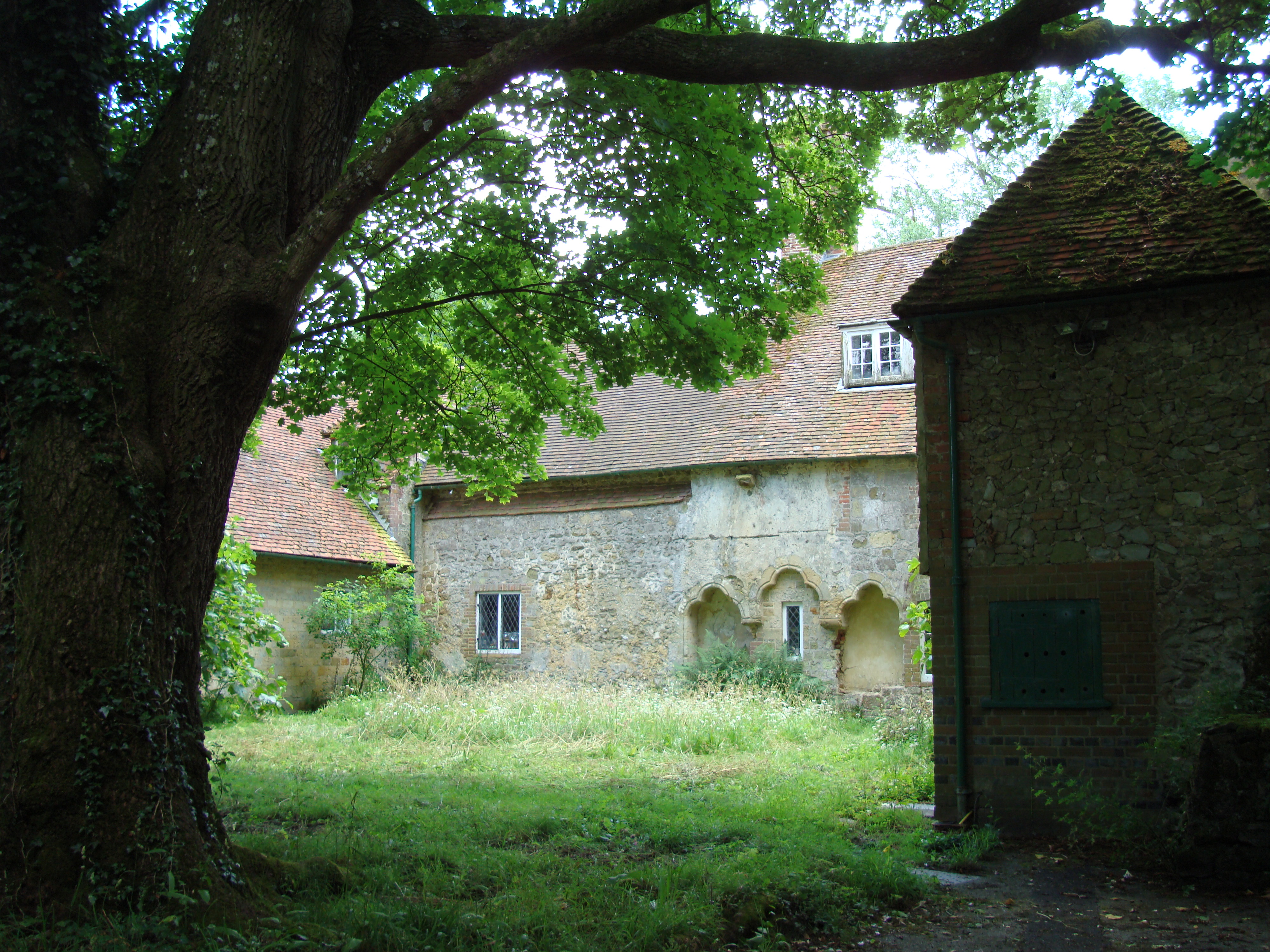
Shulbrede Priory

Shulbrede Priory is a former medieval monastic house in West Sussex, England; it became the home of the Ponsonby family, including the first Lord Ponsonby...

Hollycombe Steam Collection

The Hollycombe Steam Collection is a collection of steam-powered vehicles, amusement rides, and attractions in South East England. It is based in West...

Hammer Bottom

Hammer Bottom or Hammer Vale is a hamlet in the civil parish of Bramshott and Liphook, in the East Hampshire district in the county of Hampshire, England...

Cold Ash Hill

Cold Ash Hill is a hamlet in the East Hampshire district of Hampshire, England. Nearby settlements include the town of Haslemere and the villages of Liphook...

Western Weald

The western Weald is an area of undulating countryside in Hampshire and West Sussex containing a mixture of woodland and heathland areas. It lies to the...

Liphook railway station

Liphook railway station serves the large village of Liphook, in Hampshire, England. It is on the Portsmouth Direct Line, 46 miles 67 chains (75.4 km) down...

Nearby Amenities

Located within 500m of 51.068009,-0.76691668
Barrier: stile
Lat/Long: 51.0703589/-0.7654792
Barrier: stile
Lat/Long: 51.071768/-0.7637348
Barrier: stile
Lat/Long: 51.0684158/-0.7700848
The data included in this document is from www.openstreetmap.org. The data is made available under ODbL.

Have you been to Ash Copse?

Leave your review of Ash Copse below (or comments, questions and feedback).