Church Farm, Linchmere

Heritage Site in Sussex Chichester

England

Church Farm, Linchmere

Pylon near the bridleway on the south side of Iron Hill
Pylon near the bridleway on the south side of Iron Hill Credit: Ian Cunliffe

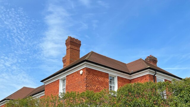
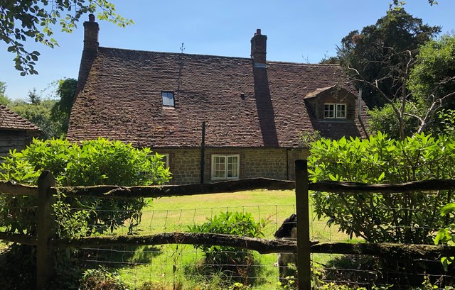
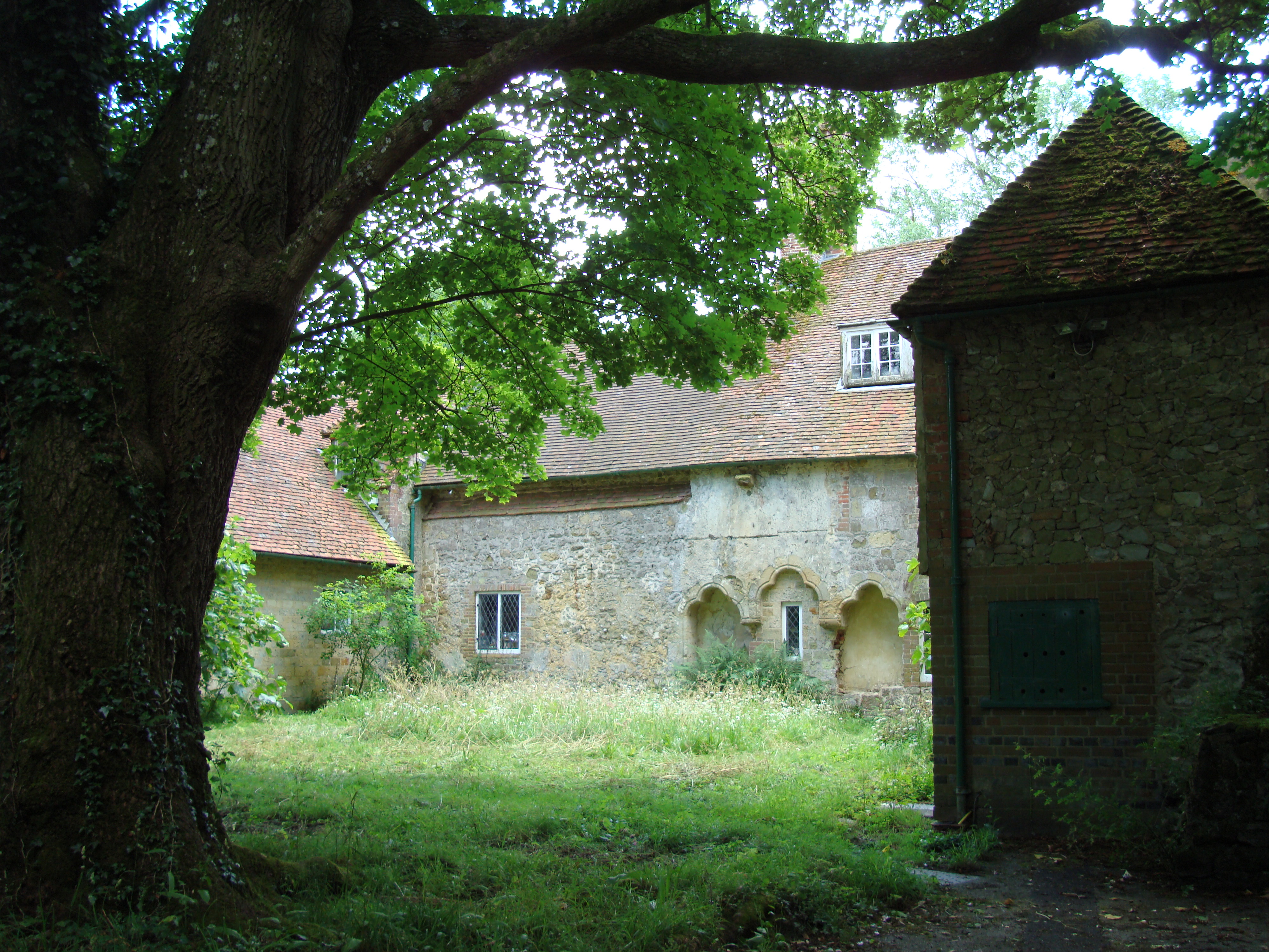
Church Farm, located in Linchmere, Sussex, is a significant heritage site that offers visitors a glimpse into the rich history and traditional rural life of the region. Dating back to the 13th century, Church Farm is a remarkable example of a historic farmstead that has been preserved and restored to showcase its architectural and cultural importance.

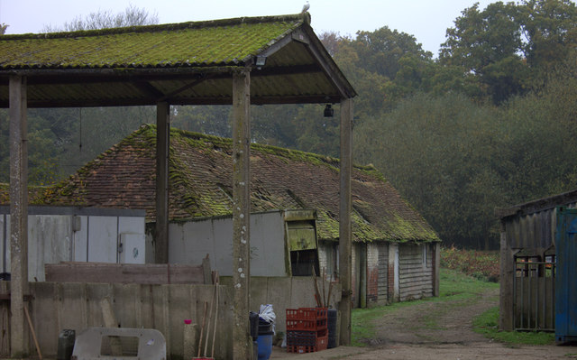
The main attraction of Church Farm is the medieval timber-framed hall house, which is believed to be one of the oldest surviving buildings in Sussex. This beautifully preserved structure provides an authentic representation of the living conditions and farming practices of the past. Visitors can explore the various rooms of the house, including the hall, parlour, and bedrooms, which have been furnished with period-appropriate furniture and artifacts.

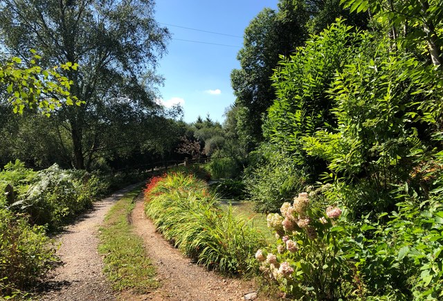
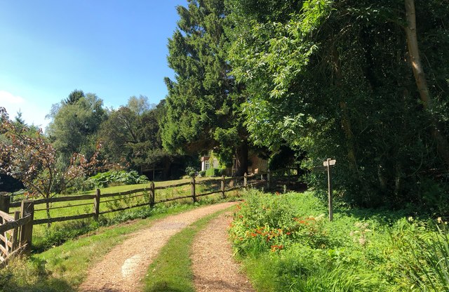
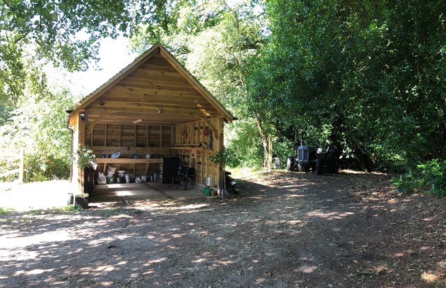
Surrounding the hall house is a picturesque farmyard, complete with traditional farm buildings and outbuildings. These include a granary, a dairy, a cart shed, and a stable, all of which have been meticulously restored to their original condition. The farmyard also features a charming cottage garden, planted with traditional flowers and herbs, adding to the overall ambiance of the site.

Church Farm offers guided tours, educational programs, and special events throughout the year, providing visitors with the opportunity to learn about the history of farming, rural life, and architectural heritage in Sussex. The site is also a popular venue for weddings, private functions, and photography shoots, thanks to its idyllic setting and historical charm.

Overall, Church Farm in Linchmere is a captivating heritage site that provides a fascinating insight into the region's agricultural past, offering visitors a unique and immersive experience of traditional rural life in Sussex.

If you have any feedback on the listing, please let us know in the comments section below.

Church Farm, Linchmere Images

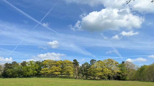
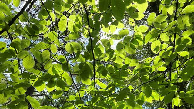
Images are sourced within 2km of 51.071/-0.761 or Grid Reference SU8630. Thanks to Geograph Open Source API. All images are credited.

Pylon near the bridleway on the south side of Iron Hill
Trees and sunlight - NE of Hillands Plantations
Conifers on the SW side of Green Hill Ferns seemed to be the dominant species on the ground in many parts of Greenhill Wood - not just under the conifers.
Conifers on the SW side of Green Hill
Ferns seemed to be the dominant species on the ground in many parts of Greenhill Wood - not just under the conifers.
Five Ways A track junction on Marley Common. The signpost marks several public rights of way, including the Serpent Trail and the Sussex Border Path.
Five Ways
A track junction on Marley Common. The signpost marks several public rights of way, including the Serpent Trail and the Sussex Border Path.
Woodland NW of Marley Heights
Solitary tree and vapour trails The sky was crisscrossed with multiple vapour trails. I can only assume that the sky is busy hereabouts on account of the relative proximity of Gatwick and Heathrow.
Solitary tree and vapour trails
The sky was crisscrossed with multiple vapour trails. I can only assume that the sky is busy hereabouts on account of the relative proximity of Gatwick and Heathrow.
Footpath heading SSE All the photos I took today had these crisscrossing vapour trails.
Footpath heading SSE
All the photos I took today had these crisscrossing vapour trails.
Trees on a woodland ridge - and vapour trails The sky was full of these vapour trails. Of all the photos I took today, this one probably shows the greatest number of trails.
Trees on a woodland ridge - and vapour trails
The sky was full of these vapour trails. Of all the photos I took today, this one probably shows the greatest number of trails.
Line of trees east of Linchmere village I noticed that Linchmere was spelt "Lynchmere" on the road sign to the south of the village. It's "Linchmere" on all the maps.
Line of trees east of Linchmere village
I noticed that Linchmere was spelt "Lynchmere" on the road sign to the south of the village. It's "Linchmere" on all the maps.
Linchmere House This house is almost opposite the church - on the east side of the lane through Linchmere.
Linchmere House
This house is almost opposite the church - on the east side of the lane through Linchmere.
Leaves and sunlight - Stanley Common
Conifers near Iron Hill
Farm buildings near Shulbrede priory Somewhat dilapidated
Farm buildings near Shulbrede priory
Somewhat dilapidated
Pleasant Corner An attractive part of the driveway near to Newlands Cottage. Everything looking very green despite months of little rainfall.
Pleasant Corner
An attractive part of the driveway near to Newlands Cottage. Everything looking very green despite months of little rainfall.
Path Junction near Newlands Cottage Approaching Newlands Cottage along the driveway, which is a public footpath, another path leads off to the left.
Path Junction near Newlands Cottage
Approaching Newlands Cottage along the driveway, which is a public footpath, another path leads off to the left.
Jag on the track A small track leads away from Newlands Cottage and an old Jaguar Car is parked up.
Jag on the track
A small track leads away from Newlands Cottage and an old Jaguar Car is parked up.
Newlands Cottage Newlands Cottage viewed from the public footpath.
Newlands Cottage
Newlands Cottage viewed from the public footpath.
Garage and Tractor Viewed from the public footpath which passes to the right of the tractor.
Garage and Tractor
Viewed from the public footpath which passes to the right of the tractor.
Show me another place!

Church Farm, Linchmere is located at Grid Ref: SU8630 (Lat: 51.071, Lng: -0.761)

Administrative County: West Sussex

District: Chichester

Police Authority: Sussex

What 3 Words

///fabric.blossom.empty. Near Liphook, Hampshire

Related Wikis

Linchmere

Linchmere, also spelled Lynchmere, is a village and a civil parish, the northernmost parish in the Chichester district of West Sussex, England. It is...

Lynchmere Commons

Lynchmere Commons is a 122-hectare (300-acre) Local Nature Reserve in Lynchmere in West Sussex. It is owned and managed by the Lynchmere Society.This...

Shulbrede Priory

Shulbrede Priory is a former medieval monastic house in West Sussex, England; it became the home of the Ponsonby family, including the first Lord Ponsonby...

Hammer Bottom

Hammer Bottom or Hammer Vale is a hamlet in the civil parish of Bramshott and Liphook, in the East Hampshire district in the county of Hampshire, England...

Hollycombe Steam Collection

The Hollycombe Steam Collection is a collection of steam-powered vehicles, amusement rides, and attractions in South East England. It is based in West...

Woolmer Hill

Woolmer Hill is an area of high ground in the south-west corner of Surrey, England in the Borough of Waverley abutting Hampshire to the west and West Sussex...

Cold Ash Hill

Cold Ash Hill is a hamlet in the East Hampshire district of Hampshire, England. Nearby settlements include the town of Haslemere and the villages of Liphook...

Western Weald

The western Weald is an area of undulating countryside in Hampshire and West Sussex containing a mixture of woodland and heathland areas. It lies to the...

Nearby Amenities

Located within 500m of 51.071,-0.761
Lynchmere
Alt Name: Linchmere
Place: village
Lat/Long: 51.0718208/-0.7599941
Village Green
Naptan AtcoCode: 4400MO0145
Naptan Bearing: SE
Naptan BusStopType: CUS
Naptan CommonName: Village Green
Naptan Indicator: adj Linchmere Common
Naptan Landmark: Linchmere Common
Naptan NaptanCode: wsxdjadp
Naptan Street: Linchmere Road
Naptan Verified: no
Source: naptan_import
Lat/Long: 51.0731544/-0.7623852
Barrier: kissing_gate
Lat/Long: 51.072627/-0.7584931
Barrier: stile
Lat/Long: 51.0703589/-0.7654792
Barrier: stile
Lat/Long: 51.071768/-0.7637348
Post Box
Post Box Type: wall
Ref: GU27 26
Royal Cypher: EIIR
Royal Cypher Wikidata: Q33102113
Lat/Long: 51.0715532/-0.7605645
Shelter
Shelter Type: public_transport
Lat/Long: 51.0731064/-0.7623293
The data included in this document is from www.openstreetmap.org. The data is made available under ODbL.

Have you been to Church Farm, Linchmere?

Leave your review of Church Farm, Linchmere below (or comments, questions and feedback).