Keepers Field Copse
Wood, Forest in Sussex Chichester
England
Keepers Field Copse
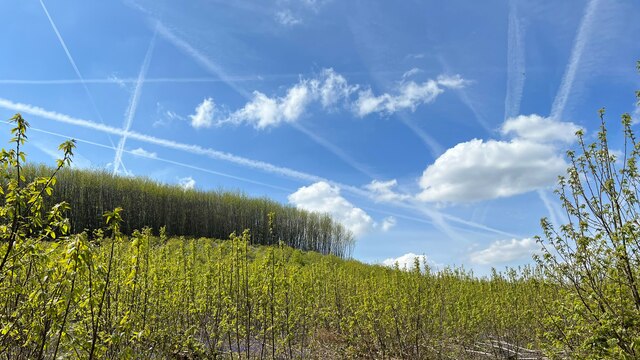
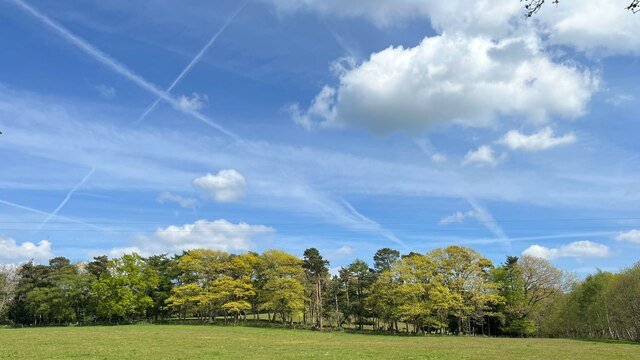
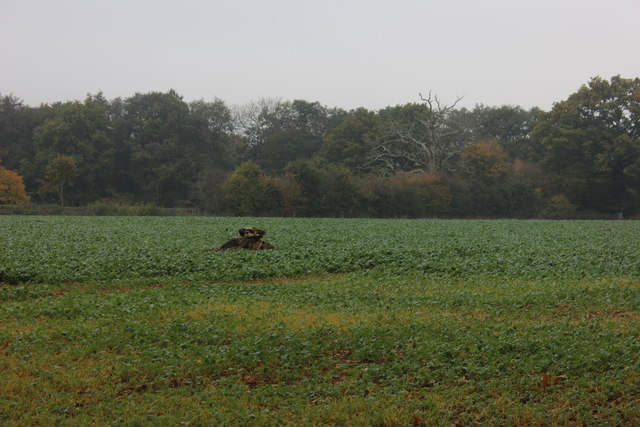
Keepers Field Copse is a charming woodland located in the county of Sussex, England. Nestled in the heart of the South Downs National Park, this wood, often referred to as a copse due to its smaller size, covers an area of approximately 10 acres.
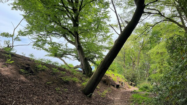
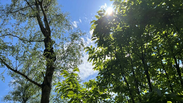
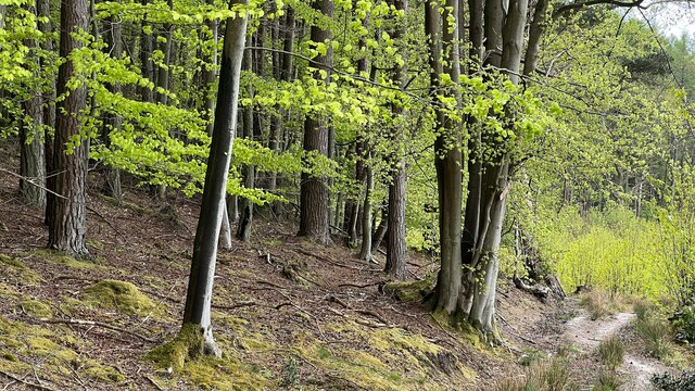
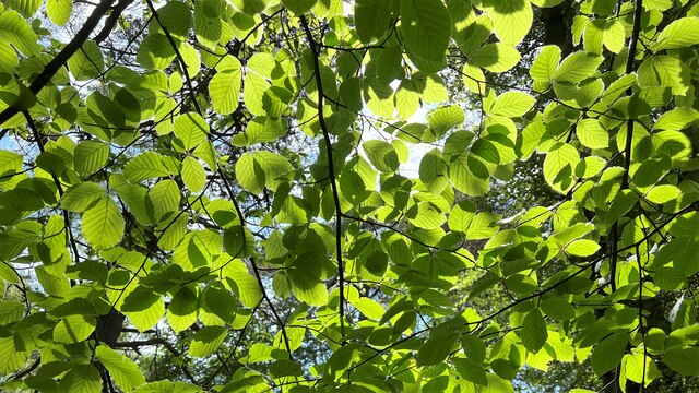
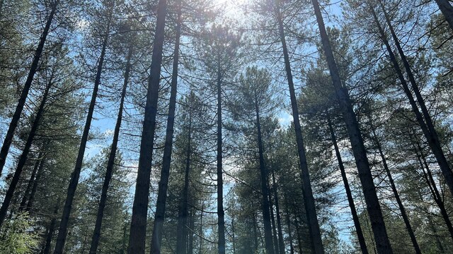
The copse is characterized by its dense and diverse vegetation, consisting primarily of native tree species such as oak, beech, and ash. These majestic trees provide a rich and vibrant canopy, creating a cool and peaceful atmosphere within the woodland. Underneath the towering trees, a variety of shrubs, ferns, and wildflowers thrive, adding to the copse's natural beauty and biodiversity.
Keepers Field Copse is home to a plethora of wildlife, making it a haven for nature enthusiasts and wildlife watchers alike. Visitors may spot a wide range of bird species, including woodpeckers, nuthatches, and song thrushes. Mammals such as deer, foxes, and badgers also inhabit the copse, often leaving behind tracks and signs of their presence.
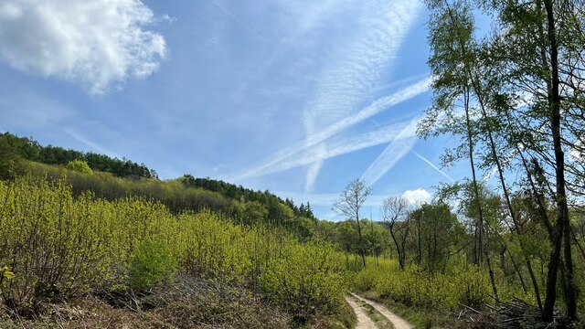
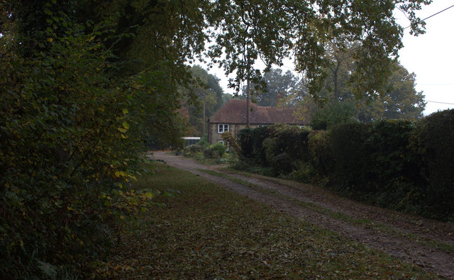
The copse offers a network of footpaths and trails, allowing visitors to explore its enchanting surroundings. These paths wind through the woodland, providing opportunities for peaceful walks and leisurely strolls. Keepers Field Copse is a popular destination for nature lovers seeking tranquility and a connection with the natural world.
Overall, Keepers Field Copse is a picturesque woodland in Sussex, offering a delightful retreat from the hustle and bustle of everyday life. With its diverse flora and fauna, it is a true gem for those seeking a peaceful and immersive experience in nature.
If you have any feedback on the listing, please let us know in the comments section below.
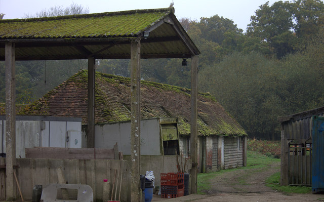
Keepers Field Copse Images
Images are sourced within 2km of 51.06371/-0.76086582 or Grid Reference SU8630. Thanks to Geograph Open Source API. All images are credited.


Keepers Field Copse is located at Grid Ref: SU8630 (Lat: 51.06371, Lng: -0.76086582)
Administrative County: West Sussex
District: Chichester
Police Authority: Sussex
What 3 Words
///rise.enhancement.delighted. Near Liphook, Hampshire
Related Wikis
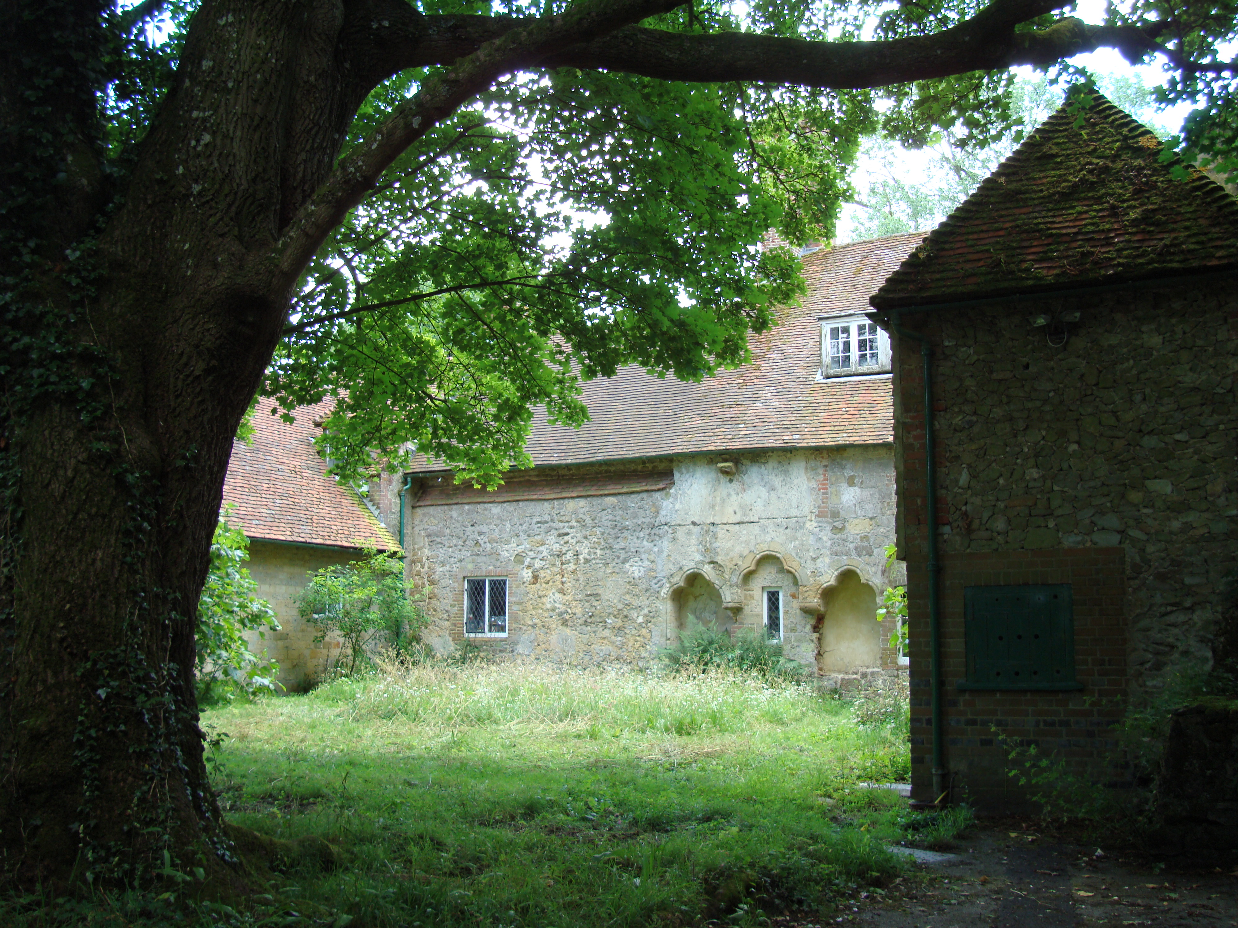
Shulbrede Priory
Shulbrede Priory is a former medieval monastic house in West Sussex, England; it became the home of the Ponsonby family, including the first Lord Ponsonby...

Linchmere
Linchmere, also spelled Lynchmere, is a village and a civil parish, the northernmost parish in the Chichester district of West Sussex, England. It is...

Lynchmere Commons
Lynchmere Commons is a 122-hectare (300-acre) Local Nature Reserve in Lynchmere in West Sussex. It is owned and managed by the Lynchmere Society.This...

Hollycombe Steam Collection
The Hollycombe Steam Collection is a collection of steam-powered vehicles, amusement rides, and attractions in South East England. It is based in West...
Western Weald
The western Weald is an area of undulating countryside in Hampshire and West Sussex containing a mixture of woodland and heathland areas. It lies to the...

Hammer Bottom
Hammer Bottom or Hammer Vale is a hamlet in the civil parish of Bramshott and Liphook, in the East Hampshire district in the county of Hampshire, England...

Perry Copse Outcrop
Perry Copse Outcrop is a 0.2-hectare (0.49-acre) geological Site of Special Scientific Interest in Fernhurst in West Sussex. It is a Geological Conservation...

Linch
Linch is an Anglican parish, and a loose collection of hamlets that make up the civil parish of the same name in the Chichester District of West Sussex...
Nearby Amenities
Located within 500m of 51.06371,-0.76086582Have you been to Keepers Field Copse?
Leave your review of Keepers Field Copse below (or comments, questions and feedback).