Sligate's Plantation
Wood, Forest in Sussex Chichester
England
Sligate's Plantation
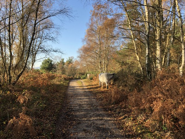
Sligate's Plantation, also known as Sussex Wood or Sussex Forest, is a sprawling woodland located in the county of Sussex, England. Covering an extensive area of approximately 500 acres, the plantation is renowned for its diverse range of flora and fauna, making it a popular destination for nature enthusiasts and hikers.
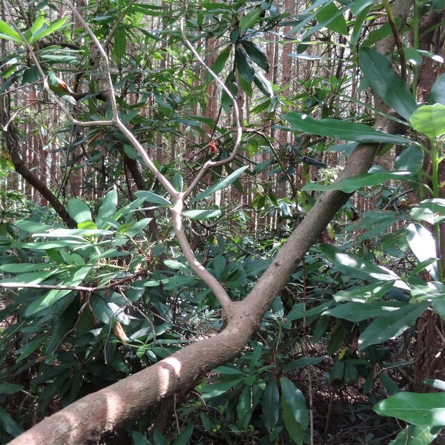
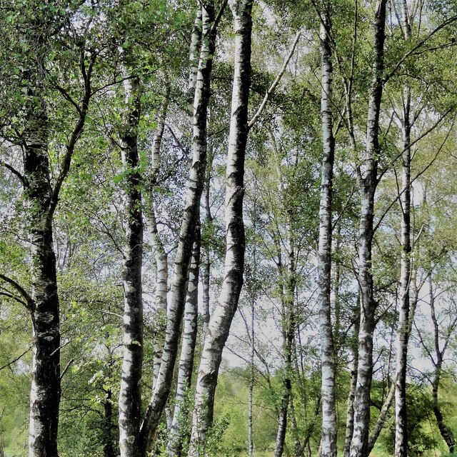
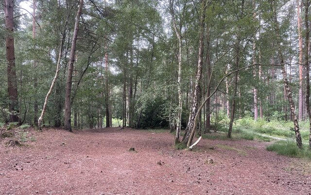
The woodland is predominantly composed of native tree species such as oak, beech, and birch, which create a dense and shaded canopy. This rich tree cover provides a habitat for a variety of wildlife, including deer, foxes, badgers, and a plethora of bird species. The plantation is particularly famous for its resident population of red squirrels, which are a rare sight in many parts of the country.
Walking through Sligate's Plantation, visitors are treated to a serene and tranquil environment, away from the hustle and bustle of urban life. The woodland features several well-maintained trails and footpaths, allowing visitors to explore its beauty at their own pace. Along these paths, one can discover hidden ponds, ancient stone walls, and breathtaking viewpoints that offer panoramic vistas of the surrounding countryside.
Sligate's Plantation is not only a haven for nature lovers but also serves as an important ecological site. Conservation efforts have been implemented to protect and preserve the woodland's delicate ecosystem, ensuring its long-term sustainability.
Overall, Sligate's Plantation in Sussex is a picturesque and ecologically significant woodland, offering visitors a chance to connect with nature and immerse themselves in the beauty of the English countryside.
If you have any feedback on the listing, please let us know in the comments section below.
Sligate's Plantation Images
Images are sourced within 2km of 50.982533/-0.77963875 or Grid Reference SU8521. Thanks to Geograph Open Source API. All images are credited.


Sligate's Plantation is located at Grid Ref: SU8521 (Lat: 50.982533, Lng: -0.77963875)
Administrative County: West Sussex
District: Chichester
Police Authority: Sussex
What 3 Words
///blotting.token.pickle. Near Midhurst, West Sussex
Nearby Locations
Related Wikis
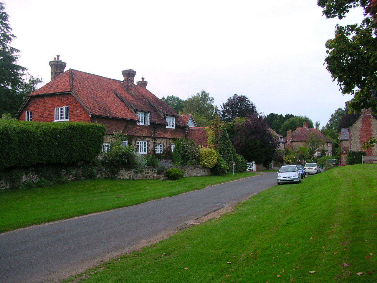
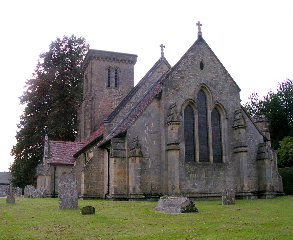
Stedham
Stedham is a village and former civil parish, now in the parish of Stedham with Iping, in the Chichester district of West Sussex, England, on the A272...

Iping and Stedham Commons
Iping and Stedham Commons is a nature reserve owned and managed by the Sussex Wildlife Trust. It is a 125.4-hectare (310-acre) biological Site of Special...

Stedham with Iping
Stedham with Iping is a civil parish in the Chichester district of West Sussex, England. It is approximately two miles (3 km) west of Midhurst and comprises...
Iping
Iping is a village and former civil parish, now in the parish of Stedham with Iping, in the Chichester district of West Sussex, England. It lies just off...
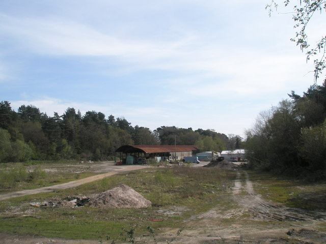
Midhurst Brickworks
Midhurst Brickworks is a former brickworks situated to the south-west of Midhurst, West Sussex in England. The works were sited close to the (now closed...

Midhurst railway station (London and South Western Railway)
Midhurst (LSWR) railway station was opened on 1 September 1864 by the London and South Western Railway, the terminus of the line from Petersfield, serving...
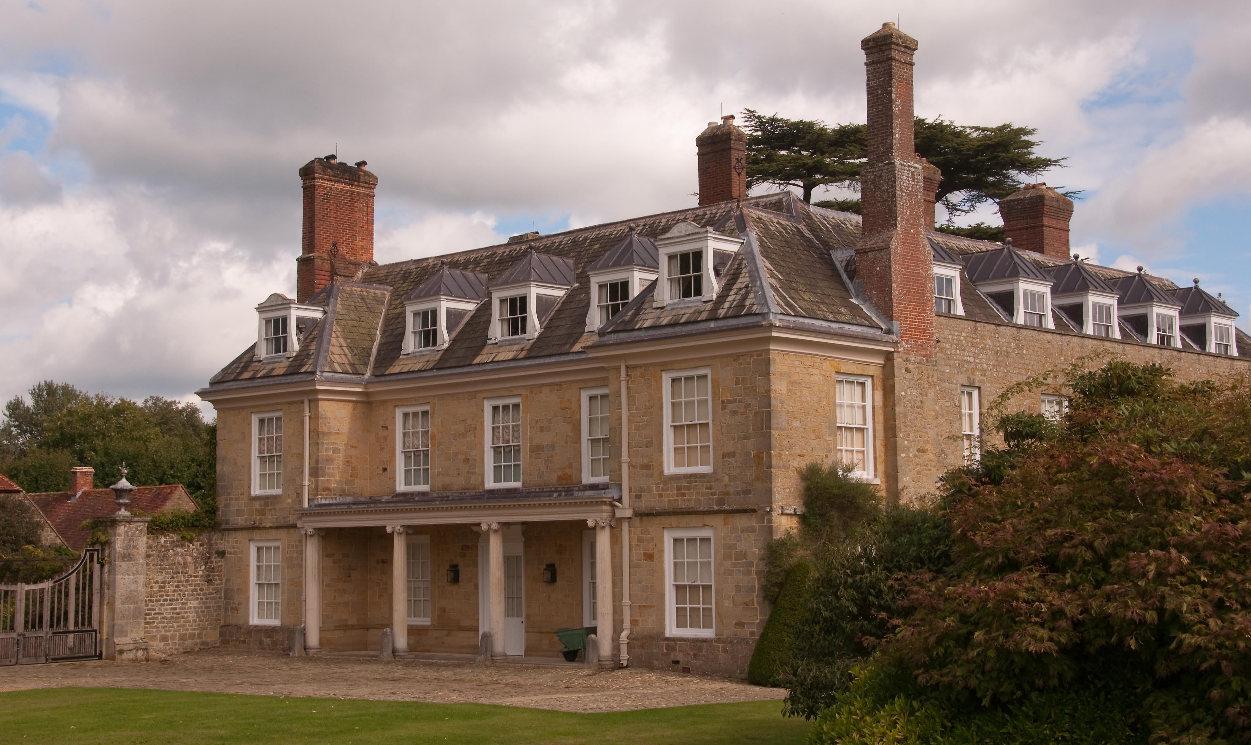
Woolbeding House
Woolbeding House is an 18th-century country house in Woolbeding, near Midhurst, West Sussex, England. It is a Grade I listed building. It was probably...

Woolbeding
Woolbeding is a village and ecclesiastical parish in the District of Chichester in West Sussex, England, 1 mile (1.6 km) north-west of Midhurst and north...
Nearby Amenities
Located within 500m of 50.982533,-0.77963875Have you been to Sligate's Plantation?
Leave your review of Sligate's Plantation below (or comments, questions and feedback).