Stedham Common
Wood, Forest in Sussex Chichester
England
Stedham Common
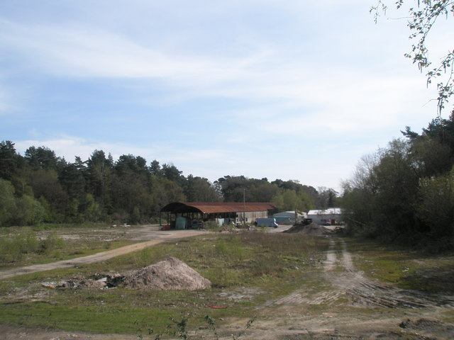
Stedham Common is a picturesque woodland area located in the county of Sussex, England. Covering an expansive area, it is renowned for its natural beauty, diverse wildlife, and tranquil atmosphere. The common is situated near the village of Stedham, and its proximity to the South Downs National Park makes it an ideal destination for nature enthusiasts and outdoor lovers.
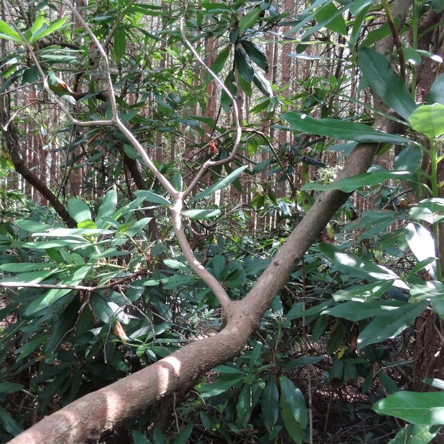
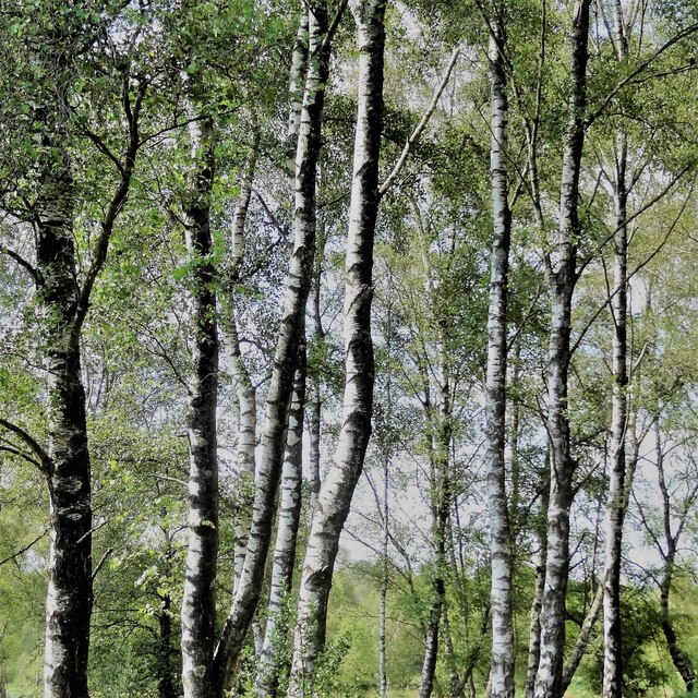
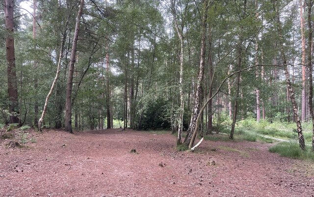
The common is predominantly composed of ancient oak and beech trees, creating a dense forest that offers a haven for various species of birds, mammals, and insects. Visitors to Stedham Common can expect to encounter a plethora of wildlife, including deer, foxes, badgers, and numerous bird species such as woodpeckers and owls.
Walking trails wind their way through the common, allowing visitors to explore its enchanting woodland scenery. These well-maintained paths provide an opportunity to immerse oneself in the natural surroundings and appreciate the tranquility of the area. The common is a popular spot for nature walks, picnics, and leisurely strolls.
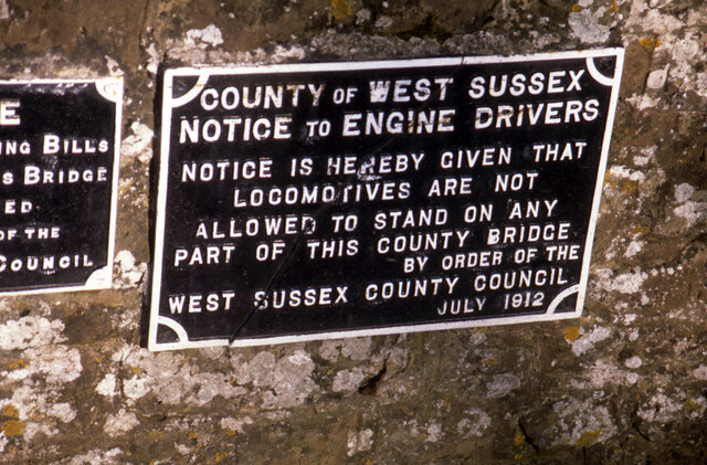
In addition to its natural beauty, Stedham Common also holds historical significance. The area was once used as a hunting ground by the local Lord, and remnants of this ancient practice can still be seen in the form of old hunting lodges and boundary markers scattered throughout the woodland.
Overall, Stedham Common offers a serene escape from the bustling city life, providing visitors with a chance to connect with nature, observe wildlife, and enjoy the peaceful ambiance of this beautiful Sussex woodland.
If you have any feedback on the listing, please let us know in the comments section below.
Stedham Common Images
Images are sourced within 2km of 50.989034/-0.77953955 or Grid Reference SU8521. Thanks to Geograph Open Source API. All images are credited.


Stedham Common is located at Grid Ref: SU8521 (Lat: 50.989034, Lng: -0.77953955)
Administrative County: West Sussex
District: Chichester
Police Authority: Sussex
What 3 Words
///hazelnuts.unions.passes. Near Midhurst, West Sussex
Nearby Locations
Related Wikis
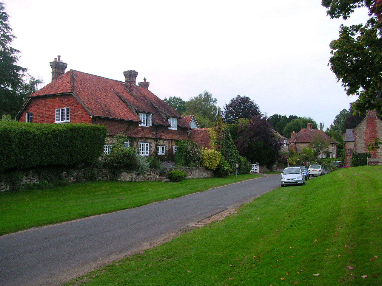
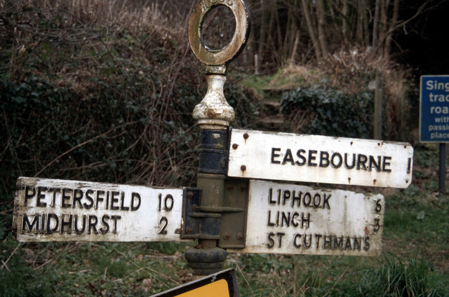
Stedham
Stedham is a village and former civil parish, now in the parish of Stedham with Iping, in the Chichester district of West Sussex, England, on the A272...

Stedham with Iping
Stedham with Iping is a civil parish in the Chichester district of West Sussex, England. It is approximately two miles (3 km) west of Midhurst and comprises...

Iping and Stedham Commons
Iping and Stedham Commons is a nature reserve owned and managed by the Sussex Wildlife Trust. It is a 125.4-hectare (310-acre) biological Site of Special...
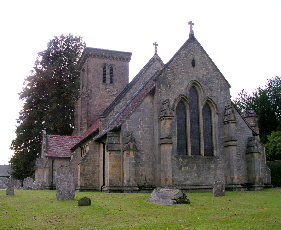
Iping
Iping is a village and former civil parish, now in the parish of Stedham with Iping, in the Chichester district of West Sussex, England. It lies just off...

Woolbeding
Woolbeding is a village and ecclesiastical parish in the District of Chichester in West Sussex, England, 1 mile (1.6 km) north-west of Midhurst and north...
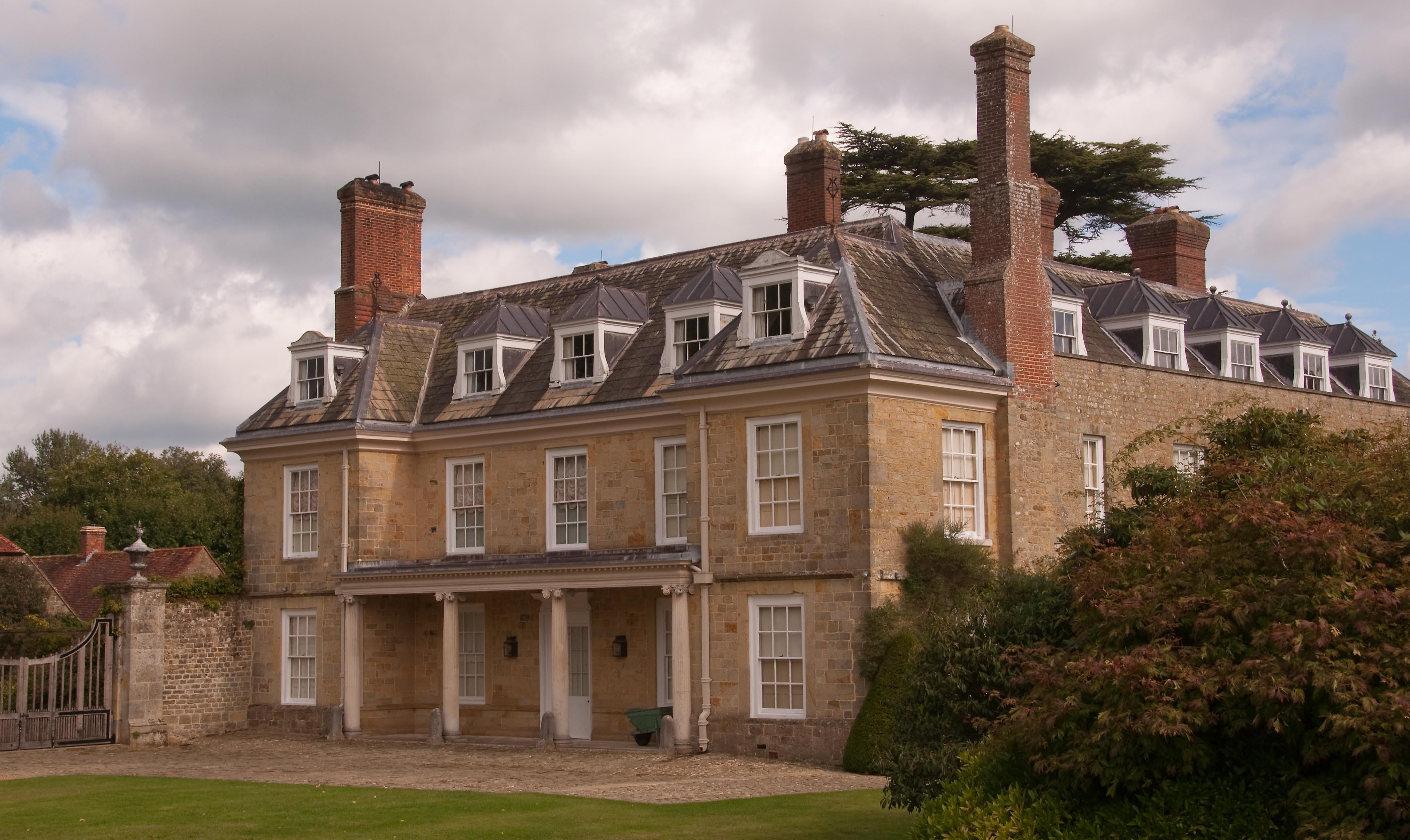
Woolbeding House
Woolbeding House is an 18th-century country house in Woolbeding, near Midhurst, West Sussex, England. It is a Grade I listed building. It was probably...
Midhurst Brickworks
Midhurst Brickworks is a former brickworks situated to the south-west of Midhurst, West Sussex in England. The works were sited close to the (now closed...

Midhurst railway station (London and South Western Railway)
Midhurst (LSWR) railway station was opened on 1 September 1864 by the London and South Western Railway, the terminus of the line from Petersfield, serving...
Nearby Amenities
Located within 500m of 50.989034,-0.77953955Have you been to Stedham Common?
Leave your review of Stedham Common below (or comments, questions and feedback).