Stonepit Plantation

Wood, Forest in Lincolnshire South Kesteven

England

Stonepit Plantation

Holy Trinity church, Allington From the south east.
Holy Trinity church, Allington Credit: Julian P Guffogg

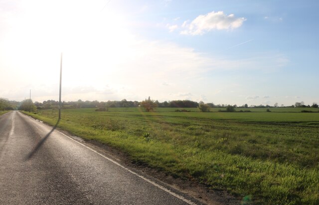
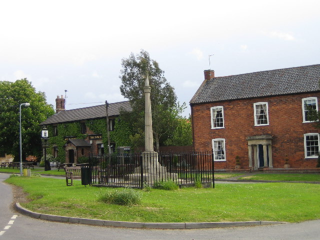
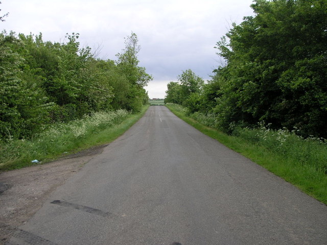
Stonepit Plantation is a picturesque woodland situated in Lincolnshire, a county in the East Midlands region of England. This plantation spans across a sprawling area and is known for its beautiful collection of trees and serene atmosphere. The plantation is located near the village of Stonepit, which adds to its charm and accessibility.

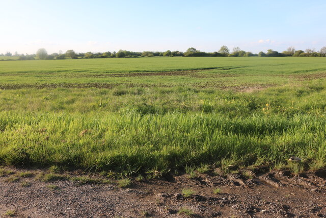
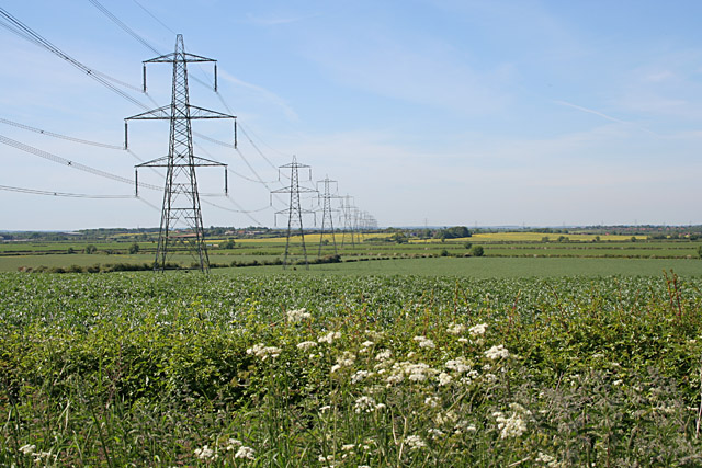
The woodland of Stonepit Plantation primarily consists of a variety of broadleaf trees, including oak, beech, and ash. These trees create a dense canopy, providing a habitat for various wildlife species such as birds, squirrels, and deer. The plantation is also home to a diverse range of flora, with wildflowers carpeting the forest floor during spring and summer.

Stonepit Plantation offers visitors an opportunity to engage with nature through its well-maintained trails and pathways. These paths wind through the woodland, allowing visitors to explore the plantation at their own pace. The plantation is particularly popular among nature enthusiasts, hikers, and families looking for a peaceful retreat.

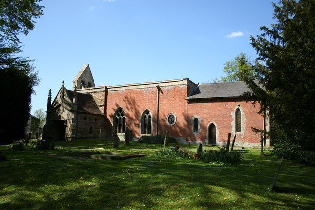
In addition to its natural beauty, Stonepit Plantation also has historical significance. It is believed that the woodland has been in existence for several centuries, with some trees dating back to the medieval period. This historical legacy adds a sense of wonder and intrigue to the plantation, attracting history enthusiasts and those interested in the region's past.

Overall, Stonepit Plantation in Lincolnshire offers a tranquil and enchanting experience for visitors, showcasing the diverse flora and fauna of the region. Its accessibility, well-maintained trails, and historical significance make it a popular destination for nature lovers and history enthusiasts alike.

If you have any feedback on the listing, please let us know in the comments section below.

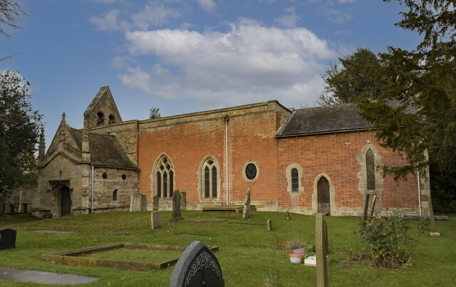
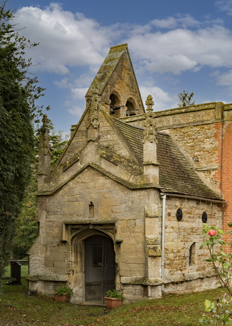
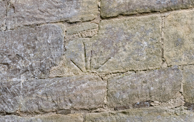
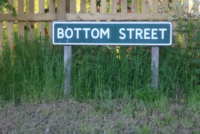
Stonepit Plantation Images

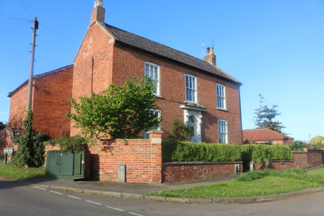
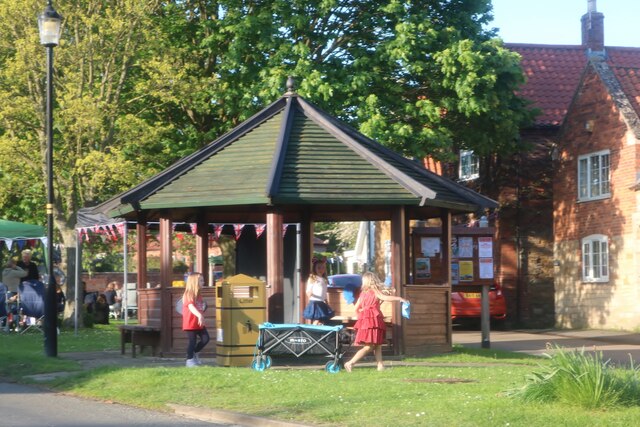
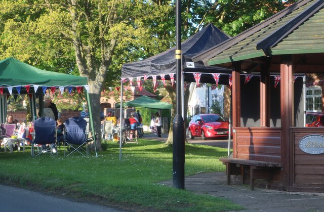
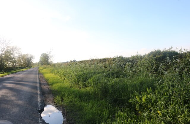
Images are sourced within 2km of 52.95514/-0.72924557 or Grid Reference SK8540. Thanks to Geograph Open Source API. All images are credited.

Holy Trinity church, Allington From the south east.
Holy Trinity church, Allington
From the south east.
South Porch, Holy Trinity church, Allington The porch is located at the west end.
South Porch, Holy Trinity church, Allington
The porch is located at the west end.
Reset Mass dial, Holy Trinity church, Allington The stone was inverted.
Reset Mass dial, Holy Trinity church, Allington
The stone was inverted.
Sign for Bottom Street, Allington Well I thought it was funny.
Sign for Bottom Street, Allington
Well I thought it was funny.
Bottom Street, Allington
House on The Green, Allington
Coronation party on The Green, Allington
Gonerby Lane leading to Allington
Field by Gonerby Lane, Allington
Gonerby Lane, Allington
Foston Service Station  On the Great North Road
Foston Service Station
On the Great North Road
The Village Green, Allington
Holy Trinity church, West Allington, Lincs. A patchwork of medieval stone and 18th century brick, Holy Trinity has a Norman south doorway and a north arcade of c1200 and all sorts of stonework said to have come from the demolished church of East Allington. A fascinating archaeological conundrum.
Holy Trinity church, West Allington, Lincs.
A patchwork of medieval stone and 18th century brick, Holy Trinity has a Norman south doorway and a north arcade of c1200 and all sorts of stonework said to have come from the demolished church of East Allington. A fascinating archaeological conundrum.
Trees and Road This view looking south looks straight over the village of Allington and beyond.
Trees and Road
This view looking south looks straight over the village of Allington and beyond.
Cowlady Lane, Allington This is a public right of way leading to the Viking Way long distance footpath. Off Bottesford Road and adjacent to the Old Vicarage.
Cowlady Lane, Allington
This is a public right of way leading to the Viking Way long distance footpath. Off Bottesford Road and adjacent to the Old Vicarage.
Miles of pylons Looking north west from Bottesford Road. The square boundary is just beyond the fourth pylon. This electricity supply line comes from Cottam Power Station in <a href="https://www.geograph.org.uk/gridref/SK8179">SK8179</a>, one of the many power stations along the River Trent ( <span class="nowrap"><a title="http://www.edfenergy.com/html/showPage.do?name=edfenergy.about.energy.cottam.til" rel="nofollow ugc noopener" href="http://www.edfenergy.com/html/showPage.do?name=edfenergy.about.energy.cottam.til">Link</a><img style="margin-left:2px;" alt="External link" title="External link - shift click to open in new window" src="https://s1.geograph.org.uk/img/external.png" width="10" height="10"/></span> for information).
Miles of pylons
Looking north west from Bottesford Road. The square boundary is just beyond the fourth pylon. This electricity supply line comes from Cottam Power Station in SK8179, one of the many power stations along the River Trent ( LinkExternal link for information).
Show me another place!

Stonepit Plantation is located at Grid Ref: SK8540 (Lat: 52.95514, Lng: -0.72924557)

Administrative County: Lincolnshire

District: South Kesteven

Police Authority: Lincolnshire

What 3 Words

///cavalier.steamed.absorb. Near Great Gonerby, Lincolnshire

Related Wikis

Allington, Lincolnshire

Allington is a village and civil parish in the South Kesteven district of Lincolnshire, England, 3 miles (5 km) north-west of Grantham. The 2001 census...

Sedgebrook railway station

Sedgebrook railway station was on the Nottingham to Grantham line in the East Midlands of England. The station lay between Bottesford and Grantham. It...

Debdale Meadow, Muston

Debdale Meadow, Muston is a 4.3-hectare (11-acre) biological Site of Special Scientific Interest north of Muston in Leicestershire.This traditionally managed...

Sedgebrook

Sedgebrook is an English village and civil parish in the South Kesteven district of Lincolnshire. It lies on the A52 road, 6 miles (9.7 km) west of Grantham...

Foston, Lincolnshire

Foston is a village and a civil parish in the South Kesteven district of Lincolnshire, England. The village is situated 5 miles (8 km) northwest of Grantham...

Newbo Abbey

Newbo Abbey was a Premonstratensian house of canons regular in Lincolnshire, England, and was dedicated to the Assumption of Mary. == Pogrom == Newbo was...

East Midlands

The East Midlands is one of nine official regions of England at the first level of ITL for statistical purposes. It comprises the eastern half of the area...

Grantham North services

Grantham North Services is a service area operated by Moto located on the A1 at Gonerby Moor Roundabout, four miles north of Grantham in Lincolnshire,...

Nearby Amenities

Located within 500m of 52.95514,-0.72924557
Allington
Is In: Lincolnshire, England, UK
Is In County: Lincolnshire
Place: village
Lat/Long: 52.9529688/-0.7242715
Created By: Merkaartor 0.12
Lat/Long: 52.956839/-0.7248129
Created By: Merkaartor 0.12
Lat/Long: 52.953648/-0.7240099
Created By: Merkaartor 0.12
Lat/Long: 52.9536023/-0.7246041
Created By: Merkaartor 0.12
Lat/Long: 52.9535633/-0.7255903
Bus Stop
The Green
Bus: yes
Naptan AtcoCode: 2700LAP02961
Naptan Bearing: N
Naptan BusStopType: CUS
Naptan CommonName: The Green
Naptan Indicator: opp
Naptan Landmark: The Green
Naptan NaptanCode: linawdgd
Naptan Street: Main Street
Naptan Verified: no
Public Transport: platform
Source: naptan_import
Lat/Long: 52.9529417/-0.7259513
Bus Stop
The Green
Bus: yes
Naptan AtcoCode: 2700LATG2780
Naptan Bearing: S
Naptan CommonName: The Green
Naptan Indicator: adj
Naptan Landmark: The Green
Naptan NaptanCode: linatpgd
Naptan Street: Main Street
Naptan Verified: no
Public Transport: platform
Source: naptan_import
Lat/Long: 52.9529579/-0.7257871
Bench
Ele: 25.0000000
Lat/Long: 52.9534033/-0.7254967
Pub
Welby Arms
Addr City: Grantham
Addr Postcode: NG32 2EA
Addr Street: The Green
Addr Suburb: Allington
Description Floor: stone
Ele: 25
Fhrs Authority: South Kesteven
Fhrs Id: 238044
Fhrs Local Authority Id: 3667
Food: yes
Outdoor Seating: yes
Real Ale: John Smiths, 5 guests
Real Fire: yes
Lat/Long: 52.9527699/-0.7256684
Bench
Backrest: yes
Mapillary: 189080409616124
Survey Date: 2017-06-01
Lat/Long: 52.951811/-0.7244315
Description: War Memorial
Historic: memorial
Lat/Long: 52.9525543/-0.7261562
Post Box
Lat/Long: 52.9526534/-0.7262094
Allington Village Stores
Shop: convenience
Lat/Long: 52.9527762/-0.7263113
Generator Method: photovoltaic
Generator Output Electricity: yes
Generator Source: solar
Generator Type: solar_photovoltaic_panel
Location: roof
Power: generator
Lat/Long: 52.9533402/-0.7273602
Generator Method: photovoltaic
Generator Output Electricity: yes
Generator Source: solar
Generator Type: solar_photovoltaic_panel
Location: roof
Power: generator
Lat/Long: 52.95207/-0.7291734
Generator Method: photovoltaic
Generator Output Electricity: yes
Generator Source: solar
Generator Type: solar_photovoltaic_panel
Location: roof
Power: generator
Lat/Long: 52.9537991/-0.7296615
Generator Method: photovoltaic
Generator Output Electricity: yes
Generator Source: solar
Generator Type: solar_photovoltaic_panel
Location: roof
Power: generator
Lat/Long: 52.9510006/-0.7283364
Generator Method: photovoltaic
Generator Output Electricity: yes
Generator Source: solar
Generator Type: solar_photovoltaic_panel
Location: roof
Power: generator
Lat/Long: 52.9521722/-0.7304098
Generator Method: photovoltaic
Generator Output Electricity: yes
Generator Source: solar
Generator Type: solar_photovoltaic_panel
Location: roof
Power: generator
Lat/Long: 52.9527733/-0.7272984
Generator Method: photovoltaic
Generator Output Electricity: yes
Generator Source: solar
Generator Type: solar_photovoltaic_panel
Location: roof
Power: generator
Lat/Long: 52.9550324/-0.7282399
Generator Method: photovoltaic
Generator Output Electricity: yes
Generator Source: solar
Generator Type: solar_photovoltaic_panel
Location: roof
Power: generator
Lat/Long: 52.9550098/-0.7281299
Generator Method: photovoltaic
Generator Output Electricity: yes
Generator Source: solar
Generator Type: solar_photovoltaic_panel
Location: roof
Power: generator
Lat/Long: 52.9545395/-0.7260056
Generator Method: photovoltaic
Generator Output Electricity: yes
Generator Source: solar
Generator Type: solar_photovoltaic_panel
Location: roof
Power: generator
Lat/Long: 52.953389/-0.7245304
Generator Method: photovoltaic
Generator Output Electricity: yes
Generator Source: solar
Generator Type: solar_photovoltaic_panel
Location: roof
Power: generator
Lat/Long: 52.9532129/-0.7236801
Allington Manor
Addr City: Grantham
Addr Housename: Old Manor House
Addr Postcode: NG32 2DH
Addr Street: Bottesford Road
Addr Suburb: Allington
Tourism: hotel
Lat/Long: 52.951912/-0.7272971
The data included in this document is from www.openstreetmap.org. The data is made available under ODbL.

Have you been to Stonepit Plantation?

Leave your review of Stonepit Plantation below (or comments, questions and feedback).